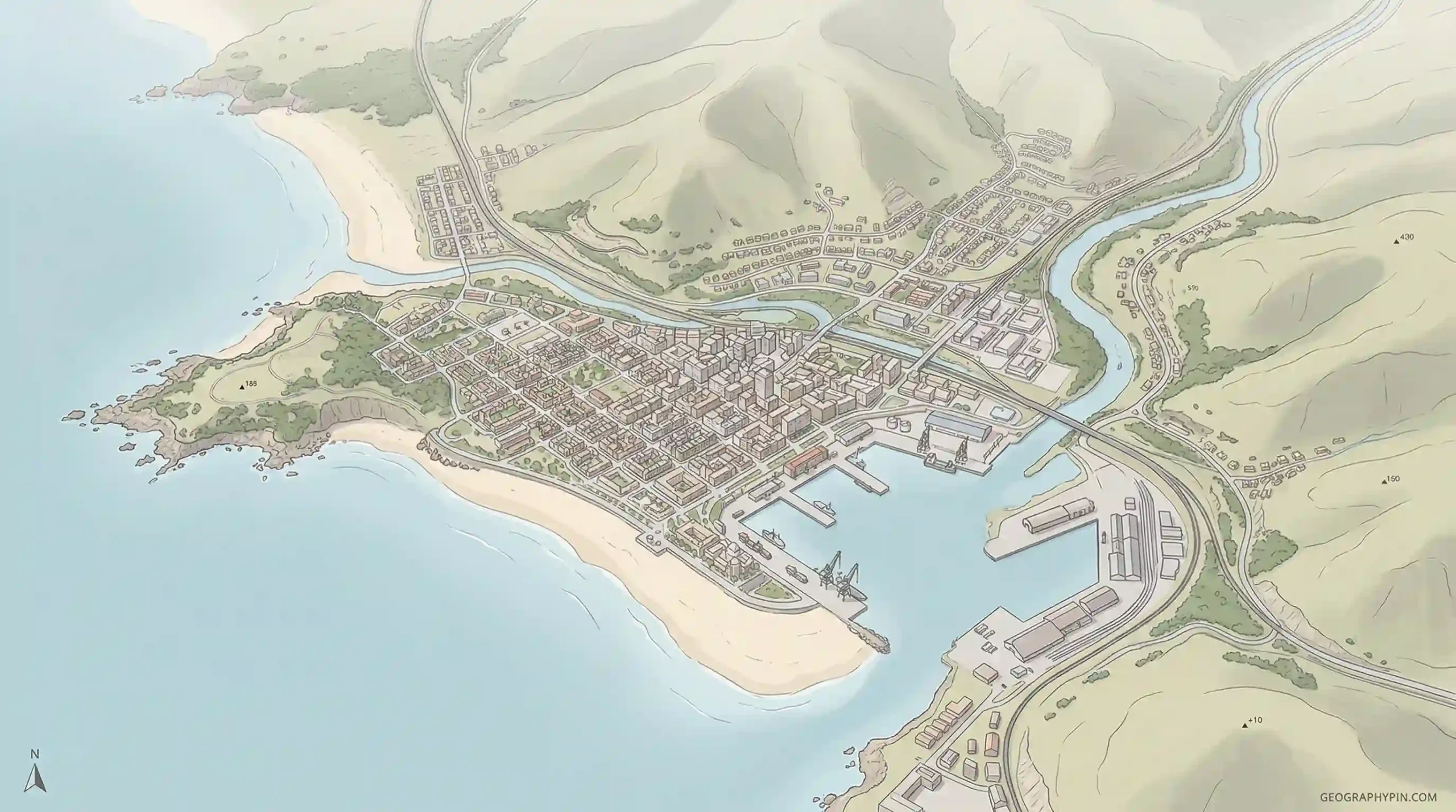
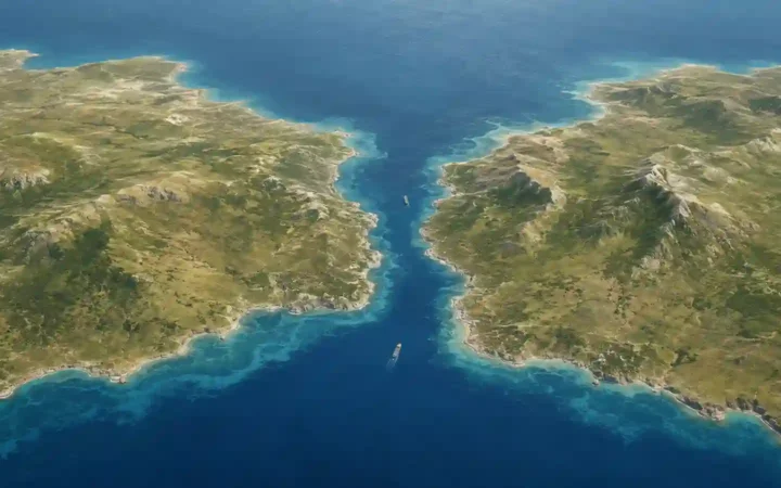
Category: Physical Geography

Explore Earth’s physical systems—from mountains and rivers to climate patterns and fragile ecosystems. This hub organizes our best guides to landforms and water, weather and climate, biodiversity, and today’s pressing environmental issues. Start here, then dive into focused subtopics or explore places by continent, country, and city.

Human Geography vs Physical Geography

10 mins read

This comparison usually comes down to one confusion: both are branches of geography, but they ask different first questions. Human geography starts with people, societies, and spatial patterns of human life, while physical geography starts with natural features, environmental systems, and the processes that shape the Earth’s surface. That split is useful, but it is […]

Read more

Caucasus Mountains: Map, Location & Highest Peaks

9 mins read

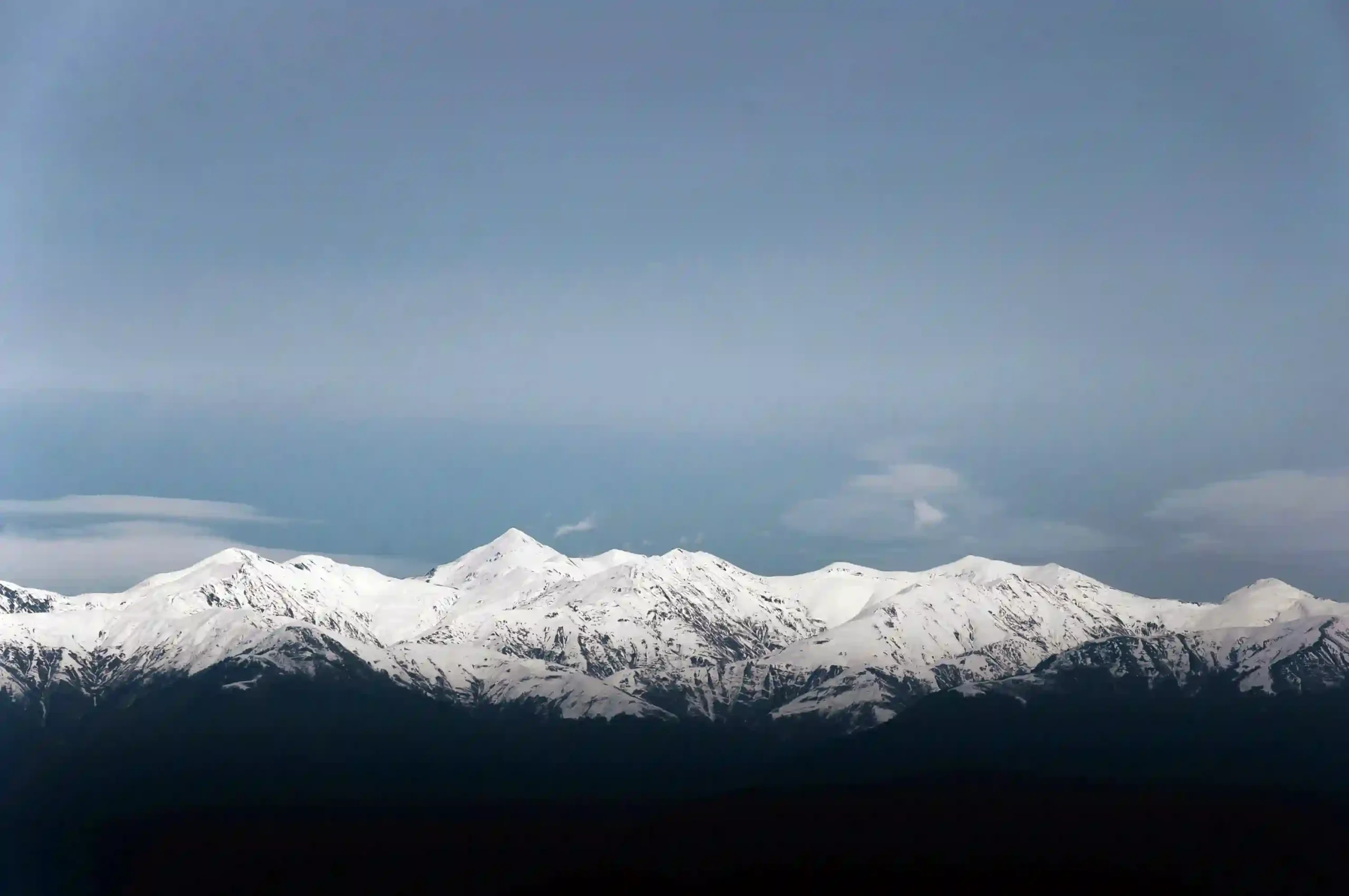
The Caucasus is one of those mountain regions many readers recognize immediately but place only vaguely. The usual confusion is not just about location; it is also about where the Greater Caucasus ends, where the Lesser Caucasus begins, and why Mount Elbrus is sometimes described as Europe’s highest mountain. Where exactly are they? The Caucasus […]

Read more

Mtkvari or Kura? Following the Flow of the South Caucasus

8 mins read

Many readers meet this river under two different names and assume they are looking at two different waterways. They are not. The confusion comes from language, mapping habits, and the fact that this is one of the major cross-border rivers of the South Caucasus. Same river, different naming tradition Mtkvari and Kura are the same […]

Read more

Geography of Armenia: Mountains, Rivers, Climate & Regions

15 mins read

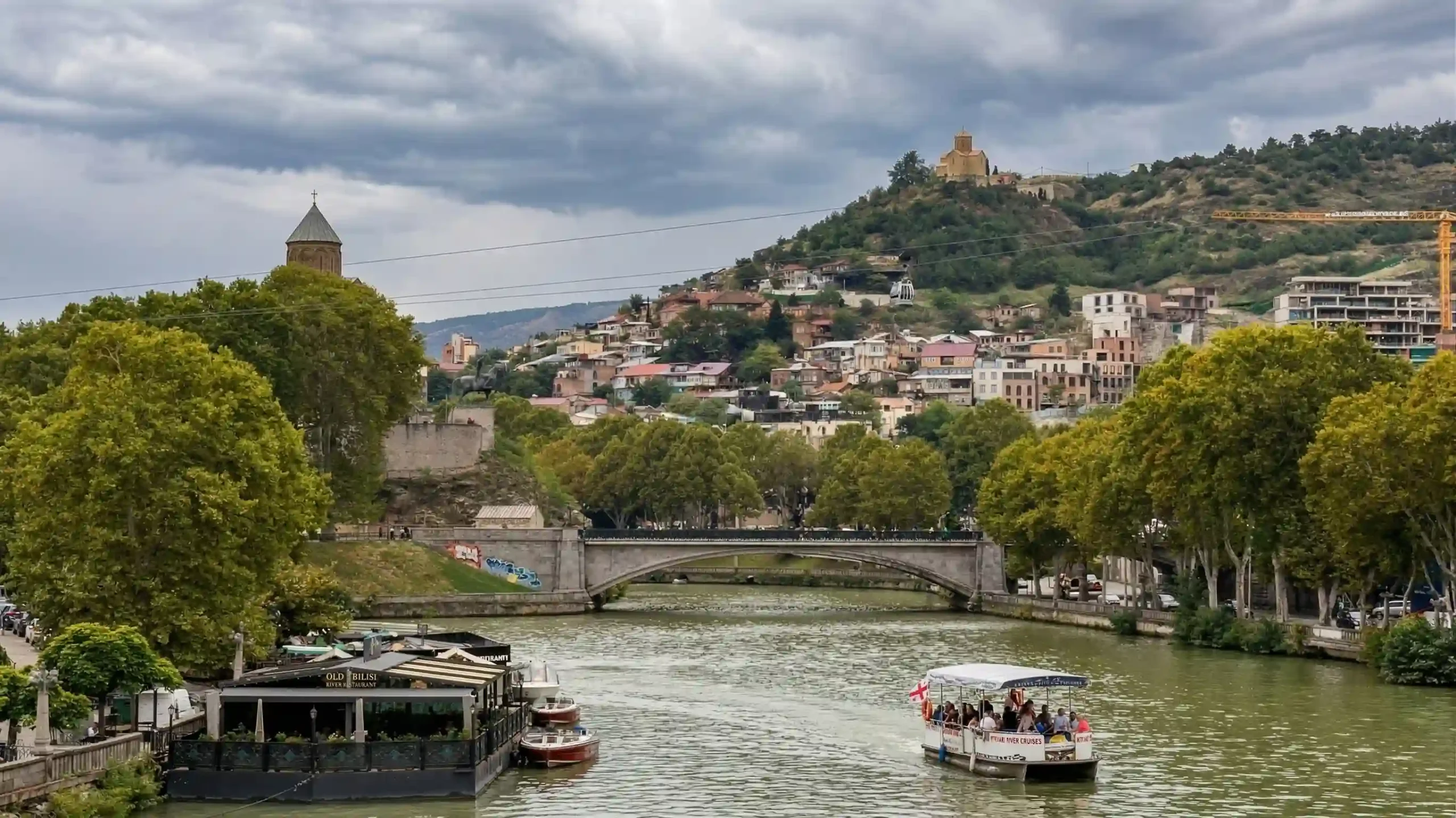
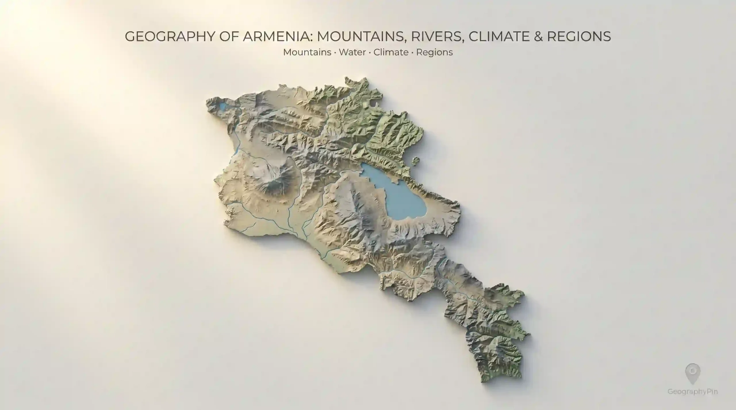
Armenia (the modern Republic of Armenia in the South Caucasus) is compact on a world map—about 11,484 square miles (29,743 square kilometers)—but it behaves like a much larger landscape because most of it is highland. A ridge can block wind, a basin can trap warmth, and a pass can decide whether a route is routine […]

Read more

The Geography of Iran Explained Simply

17 mins read

Iran is easiest to understand as a high interior “roof” (the Iranian Plateau) with strong edges: mountains that act like walls, deserts that act like sinks, and coastlines that act like gateways. Once you see that shape, the map stops feeling like scattered place names and starts explaining itself—where cities cluster, where farming belts hold […]

Read more

What Is a Doline? Karst Sinkholes Explained

10 mins read

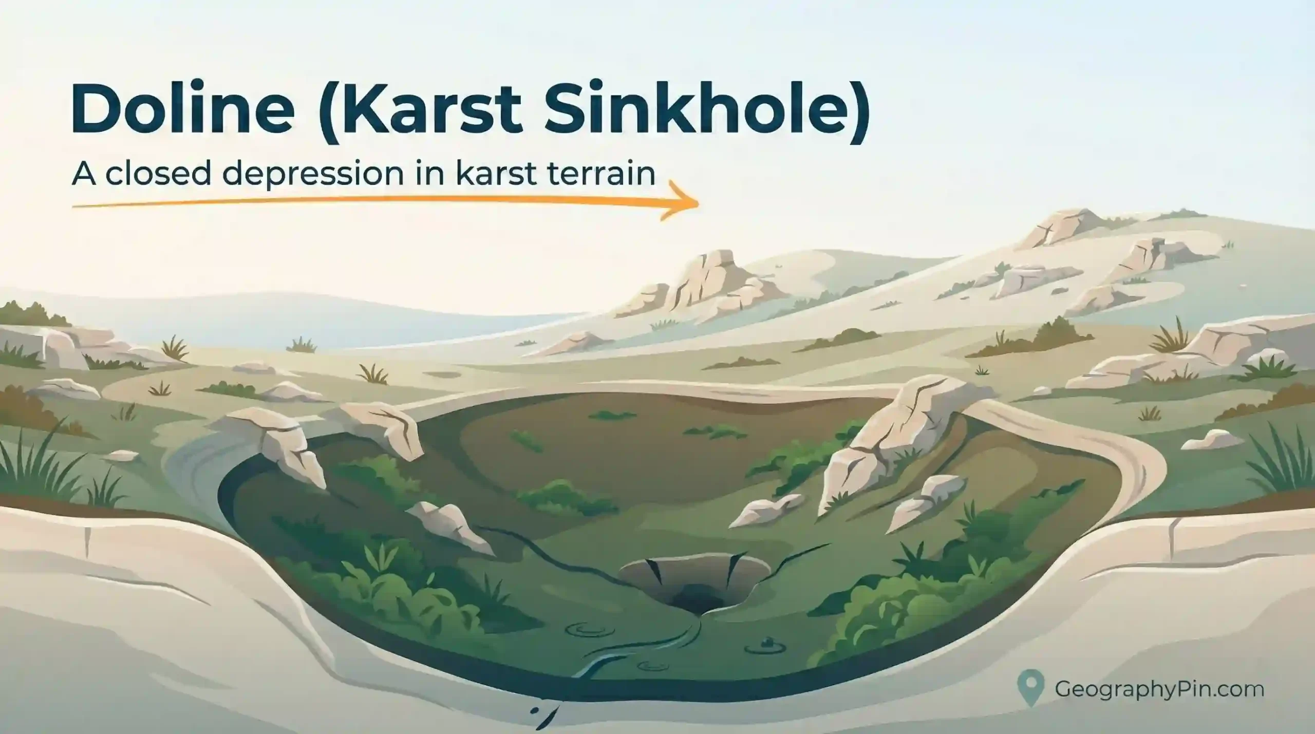
A doline (also seen as “dolina”) is one of the most recognizable features of karst terrain: a closed depression that pulls water inward and often sends it underground. In plain English, many people simply call it a sinkhole. The useful question is what kind of sinkhole it is and what it suggests about the rock […]

Read more

Ventifact Explained: Wind-Polished Rocks in Deserts

10 mins read

A ventifact is one of the clearest “signatures” of wind erosion: a rock face worn smooth, faceted, or pitted by airborne sand. They’re common in dry, open landscapes where strong winds can keep sand grains moving and where rocks stay exposed long enough to be shaped. Direct answer A ventifact is a rock that has […]

Read more

What Is a Deflation Hollow? Wind Erosion Explained Simply.

10 mins read

A deflation hollow is a shallow ground depression formed when wind lifts and carries away loose sediment from the surface (a process called deflation). You’ll see them most often where sand, silt, or dust is exposed and vegetation is sparse—deserts, dry lakebeds, sand sheets, and dune fields. Despite the name, this “deflation” has nothing to […]

Read more

Glacial Erosion Landforms: Ice-Carved Valleys, Fjords, and More

13 mins read

Glacial erosion landforms are bedrock shapes carved by moving glacier ice. The trick is that ice erodes valley floors and walls at the same time, leaving signatures that look different from river-carved terrain. Learn the patterns, and you can often spot where glaciers once flowed—even in landscapes with no ice today. Direct answer Glacial erosion […]

Read more

Water Erosion Landforms: Rivers, Rain, and Flowing Water

13 mins read

Water erosion landforms are the shapes made when moving water removes rock or soil and carries it away. Rivers carve valleys and gorges. Storm runoff cuts rills and gullies. Floods reshape floodplains. Here, “erosion” means Earth-surface change. It does not mean tooth enamel erosion or wear inside pipes. You can often spot water’s work without […]

Read more