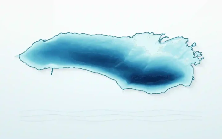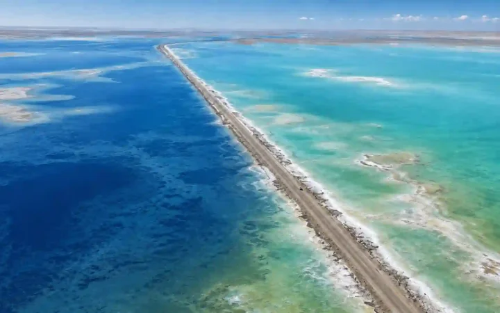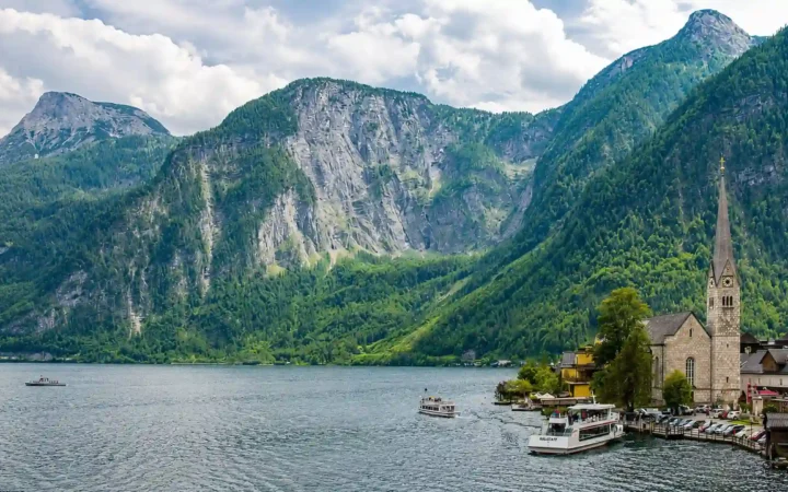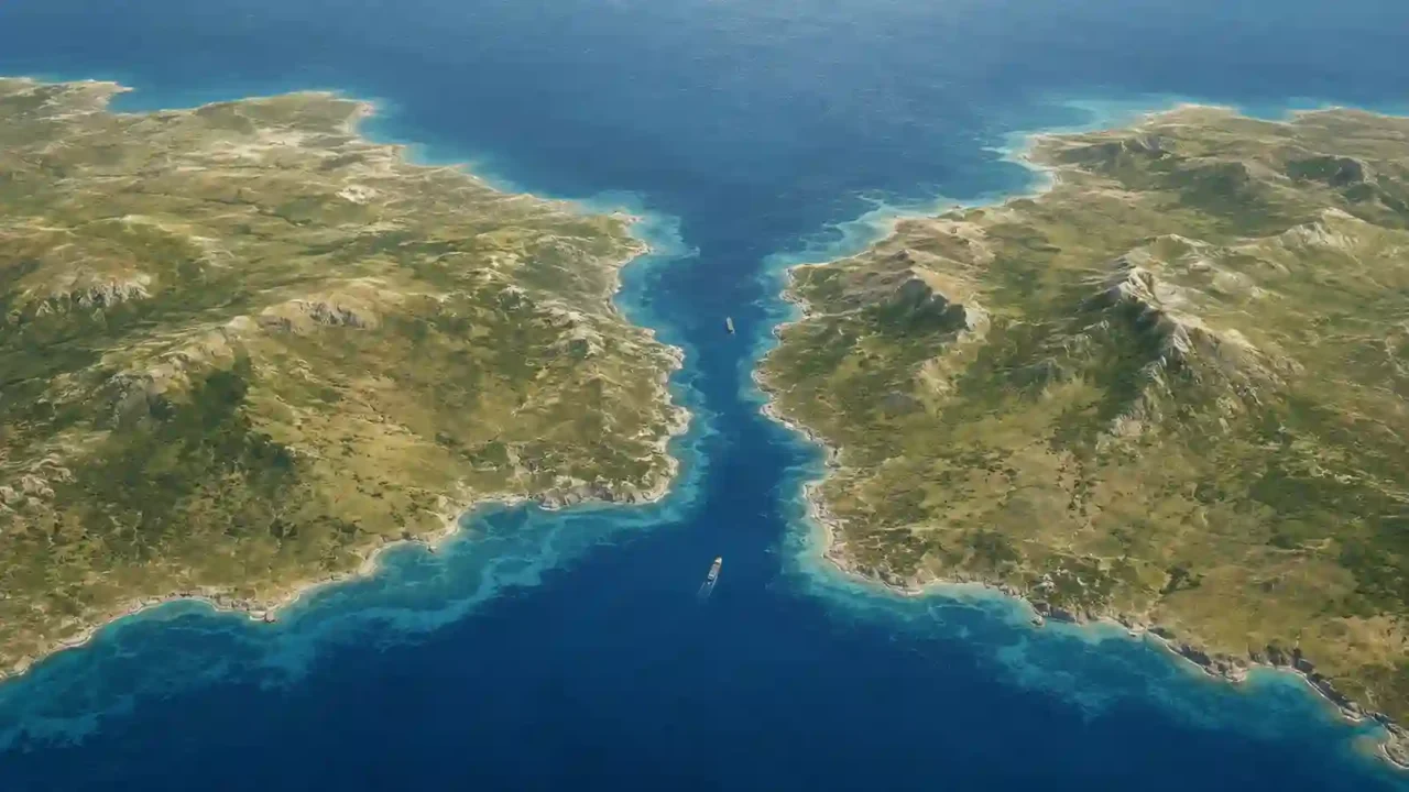
A strait is a naturally occurring, relatively narrow passage of water that connects two larger bodies of water while separating nearby land areas. “Narrow” is relative: geography provides no universal maximum width. A canal is human-made, while a channel or sound is a broader, less consistently applied name for a water passage.
How to use this article: Start with the three-part map test, compare overlapping waterway names, see the main formation routes, or apply the famous-examples map check.
What Makes a Waterway a Strait?
The International Hydrographic Organization defines a strait as a passage connecting two larger bodies of water. Its more detailed geographic wording describes a narrow passage between landmasses, islands, or island groups that connects larger sea areas (International Hydrographic Organization).
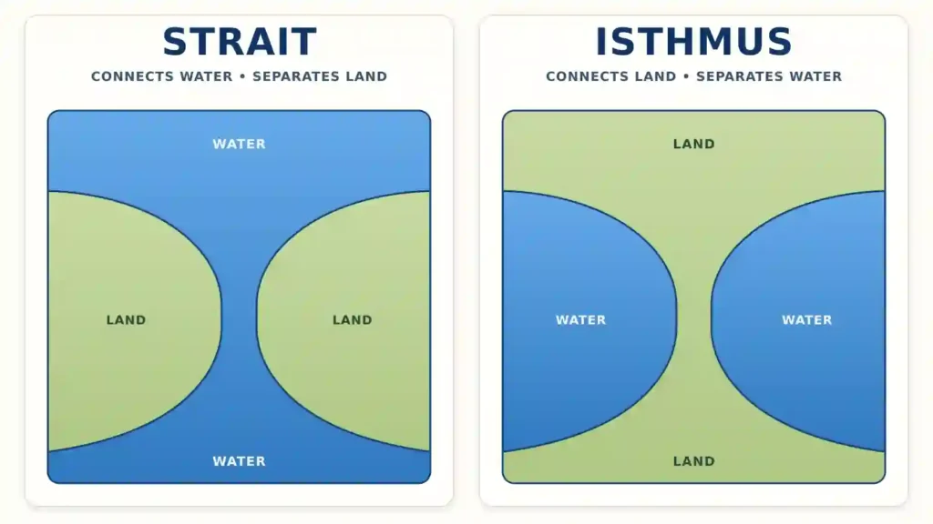
A strait therefore does two jobs at once: it connects water and separates land. The second half is easy to miss, but it is what makes the feature clear on a map.
The three-part map test
Use these checks when a water feature is unlabeled or its name is unfamiliar:
- Water connection: The passage links one larger body of water with another rather than ending inside the land.
- Land separation: Land lies on opposite sides, and the waterway forms a relative constriction between the larger waters.
- Natural origin: The passage exists as a natural geographic feature, even if people later dredge channels, build bridges, or regulate ship traffic within it.
There is no universal mileage cutoff. “Narrow” is judged in relation to the waters and land around the feature; neither the International Hydrographic Organization nor the U.S. Geological Survey definition supplies a fixed maximum width.
Straits are not limited to saltwater. The Straits of Mackinac connect Lakes Michigan and Huron, showing that two large freshwater bodies can also be joined by a strait.
Strait, Channel, Canal, Sound, or Isthmus?
These terms overlap in everyday naming, but their usual geographic meanings are different. Historical usage matters: a feature can keep an old proper name even when another term might appear equally logical today.
Why the name alone can mislead
The U.S. Board on Geographic Names groups “strait,” “passage,” “reach,” and similar labels inside its broader Channel feature class. That administrative choice does not erase the ordinary definition of a strait; it shows why map labels are not a rigid worldwide taxonomy.
| Term | Usual meaning | Key distinction |
|---|---|---|
| Strait | A relatively narrow natural water passage connecting two larger bodies of water | Connects water while separating land |
| Channel | A broad term for a water passage; it can also mean the deeper route carrying the main flow | May be wider, dredged, or used as a technical shipping term |
| Canal | A waterway that is primarily constructed by people | Artificial rather than a naturally formed passage |
| Sound | A flexible name often used for a broader inlet or passage | Usually wider or more extensive than a strait, but naming is inconsistent |
| Isthmus | A narrow strip of land connecting larger land areas | The reverse relationship: it connects land and separates water |
| Bay or gulf | A body of water partly enclosed by land | Primarily an indentation, not necessarily a through-passage |
The English Channel illustrates the overlap: its narrowest sector is called the Strait of Dover. By contrast, the Panama Canal crosses an isthmus but remains an engineered canal rather than a natural strait.
How Do Straits Form and How Does Water Move Through Them?
Straits do not share one formation story. Most reflect a sequence of geological and sea-level changes rather than a single event.
Three common formation routes
- Tectonic movement and subsidence: Faulting, crustal movement, or sinking land can create a low corridor that water later occupies. NASA describes the Dardanelles as a drowned valley developed along a fault.
- Rising water over low land: When continental ice melts and sea level rises, a former land bridge can become submerged. The land beneath today’s Bering Strait was exposed during colder periods and later flooded as sea level rose.
- Erosion, breaching, and flooding: Rivers, glaciers, waves, or a major inflow can cut or enlarge a passage. The Strait of Gibraltar’s history combines tectonic change, isolation of the Mediterranean basin, and later Atlantic flooding, so reducing it to one cause would be misleading.
Water can move in more than one direction
A strait is also a flow system. Tides, winds, differences in water level, and differences in temperature or salinity can all shape its currents. A narrow passage may concentrate and accelerate tidal flow, although the effect varies by depth and coastline shape.
The Strait of Gibraltar provides a clear example of layered exchange. Relatively fresher Atlantic water generally enters the Mediterranean near the surface while denser Mediterranean water moves westward below it. A strait therefore does not need one permanent, one-way current.
Famous Straits Around the World
The examples below are famous for different reasons. Some divide continents, some concentrate international shipping, and some control water exchange between seas. Being a strait does not automatically make a waterway a commercial or military chokepoint.
How to read each example on a map
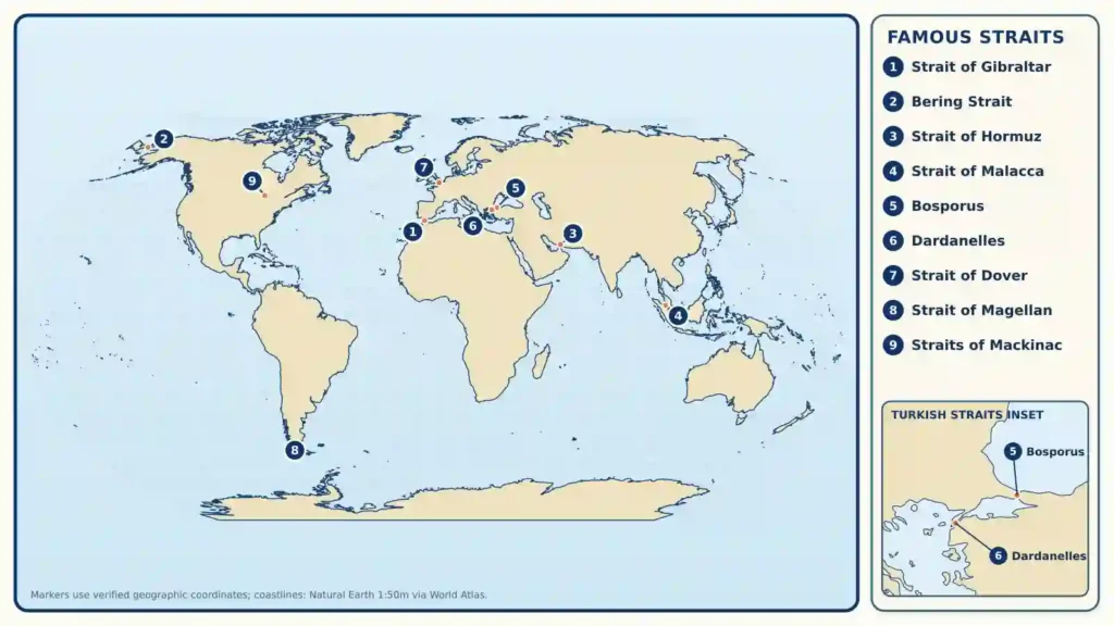
Identify the two waters first, then the land on either side. After that, ask whether the passage is natural and whether its strategic importance comes from geography, shipping volume, political boundaries, or a combination of these factors.
| Strait | Waters connected | Land separated | Why it is well known |
|---|---|---|---|
| Strait of Gibraltar | Atlantic Ocean and Mediterranean Sea | Southern Europe and northern Africa | The Mediterranean’s natural western gateway and a major water-exchange passage |
| Bering Strait | Bering Sea and Chukchi Sea, linking the Pacific and Arctic systems | Alaska and Chukotka; North America and Asia | A continental gateway whose seabed was exposed as part of Beringia during lower sea levels |
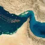
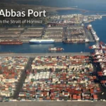
| Strait of Hormuz | Persian Gulf and Gulf of Oman, opening toward the Arabian Sea | Iran and Oman’s Musandam Peninsula | A major energy-shipping chokepoint; see why the Strait of Hormuz matters |
| Strait of Malacca | Andaman Sea side of the Indian Ocean with the Singapore Strait route toward the South China Sea | Malay Peninsula and Sumatra | Part of the principal maritime link between the Indian and Pacific oceans; Malacca and Singapore are distinct but connected straits (International Maritime Organization) |
| Bosporus | Black Sea and Sea of Marmara | European and Asian sides of Istanbul and Türkiye | The northern part of the Turkish Straits and part of Europe’s conventional boundary with Asia |
| Dardanelles | Sea of Marmara and Aegean Sea | Gallipoli Peninsula and northwestern Anatolia | The southern part of the Turkish Straits system linking the Black Sea route toward the Mediterranean |
| Strait of Dover | English Channel and North Sea | England and France | The narrowest sector of the English Channel and an important cross-Channel passage |
| Strait of Magellan | Atlantic and Pacific oceans | Mainland Patagonia and Tierra del Fuego | A natural route through southern South America north of Cape Horn |
| Straits of Mackinac | Lakes Michigan and Huron | Michigan’s Upper and Lower Peninsulas | A clear freshwater example crossed by the Mackinac Bridge |
Table downloads (2)
- How a strait differs from nearby geographic terms (7 × 3)View tableDownload CSV
- What major straits connect and separate (10 × 4)View tableDownload CSV
Why Straits Matter
A strait concentrates movement through a limited space. Ocean water, heat, salt, nutrients, marine life, ships, and people may all pass through the same geographic gateway, giving one narrow area effects far beyond its shores.
From natural passage to shipping chokepoint
A chokepoint is a route where traffic is concentrated and practical alternatives are limited or much longer. The Strait of Hormuz and the Strait of Malacca are prominent energy-trade examples, but “chokepoint” describes their transport role, not a separate kind of landform.
Narrow routes can shorten voyages, but they can also concentrate collision risk, congestion, environmental damage, and the consequences of disruption. Their importance changes with trade patterns, ship technology, pipelines, canals, and alternative ports.
The legal question is separate from the geographic one
A map can identify a strait, but it cannot by itself determine sovereignty or passage rights. Part III of the United Nations Convention on the Law of the Sea sets rules for straits used for international navigation in the circumstances defined by the convention, including a transit-passage regime; not every geographic strait falls under the same legal arrangement.
Some straits are bordered by one country, others by several, and some are governed in part by older treaties or special agreements. Geography creates the gateway; law and politics determine many of the rules applied within it.
Frequently Asked Questions
Is “strait” the same word as “straight”?
No. A strait is a narrow water passage or, in another sense, a difficult situation. Straight describes something direct, level, or not curved. The two words sound alike but have different spellings and meanings.
Does a strait have to be deep enough for large ships?
No. The geographic definition depends on the connection between larger waters, not on a required depth or ship size. A strait may be shallow, hazardous, or unsuitable for some vessels.
Does a bridge or tunnel stop a waterway from being a strait?
No. A bridge or tunnel crosses the natural feature without replacing it. The water connection and surrounding land relationship remain the same.
Why do some names use “Straits” in the plural?
The plural form is usually part of a feature’s established proper name and may reflect a complex passage or historical usage. It does not create a different geographic category.
Can a strait contain islands?
Yes. Islands can sit inside or along a strait without changing its basic function, provided the wider passage still connects the larger bodies of water.
What Did We Learn Today?
A strait is a natural, relatively narrow water passage that connects larger bodies of water while separating land. Its width has no universal numeric limit, and names such as channel or sound can overlap because historical labels are inconsistent. The most reliable map check is to identify the waters connected, the land separated, and whether the passage is natural.
Sources & Data Notes
Definitions and classification were checked against the International Hydrographic Organization’s Hydrographic Dictionary, the U.S. Geological Survey, NOAA, and National Geographic Society; formation and example geography were checked with NASA Earth Observatory, the U.S. National Park Service, the European Space Agency, and relevant maritime authorities; strategic and legal context drew on the U.S. Energy Information Administration, International Energy Agency, International Maritime Organization, and the United Nations Convention on the Law of the Sea. “Narrow” is a relative geographic description rather than a universal numeric cutoff, named-feature conventions vary, and shipping data can change. This article was prepared and editorially reviewed by Zurab Koniashvili (Z.K. Atlas), who completed the final factual checks and publication approval; AI tools may have assisted with language refinement and the creation or editing of visual materials.