Physical geography
Land, water, weather, climate, ecosystems, and the forces shaping Earth.
A clearer way to explore our world
Understand places, patterns, people, and the built world through clear articles, visual guides, quizzes, and practical tools.
Browse by branch
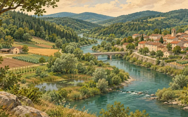
Land, water, weather, climate, ecosystems, and the forces shaping Earth.
People, cultures, economies, resources, and how societies organize space.
Buildings, architecture, cities, infrastructure, and the human-made landscape.
Start with why
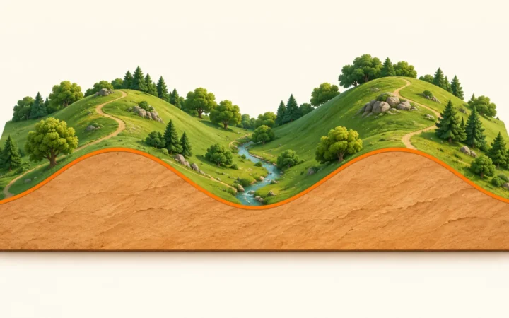
To read a topographic profile, follow horizontal distance along the bottom axis and elevation along the vertical axis. Check the direction, units, height reference and vertical exaggeration before…
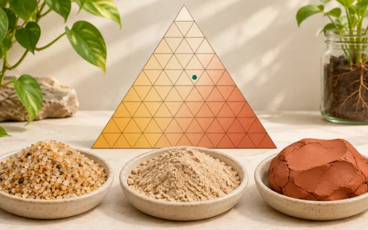
First confirm that sand, silt and clay percentages total 100 on the same fine-earth weight basis. Find each percentage on the USDA triangle and follow its grid line…
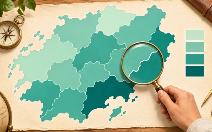
A choropleth map fills geographic areas with colors or shades linked to a numerical value, commonly a rate, percentage or density. The shading summarizes each area rather than…
Useful by design
Map, convert, measure, compare, and explore. The collection is designed to grow without turning tools into random articles.
Explore flags of the world in one place. Find country flags, compare designs, and discover the symbols and colors that represent each nation.
Create custom world and continent maps in minutes. Paste or select countries, apply multiple colors, edit the legend, and export—no signup or GIS skills required.
Convert latitude and longitude between decimal degrees, DMS, UTM, MGRS, Plus Codes and more. Get copy-ready results, batch exports, and an optional map.
Fresh from GeographyPin
Colorado is often pictured as a wall of snowy peaks, but that image leaves out its eastern plains and western plateaus. The postal code is a short answer;…
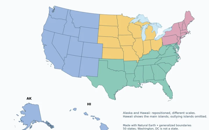
A regional label is useful only when its definition is clear. This reference uses the Census Bureau’s statistical framework, rather than mixing it with climate zones, cultural regions…
Use the labeled map to locate a state, the alphabetical table to identify its capital, or the blank PDF for a geography exercise. Two-letter codes keep the national…
Test what you know
Take this environmental geography quiz to test how people, resources and environmental change affect one another. Answer 24 questions, then use the explanations to think through risk, tradeoffs…
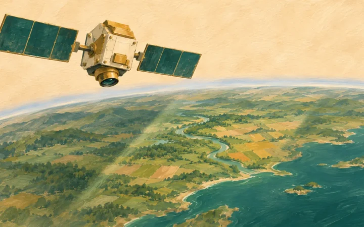
Take this remote sensing quiz to test how observations become evidence about Earth. Work through 20 questions on sensors, image resolution and interpretation, with an explanation after every…
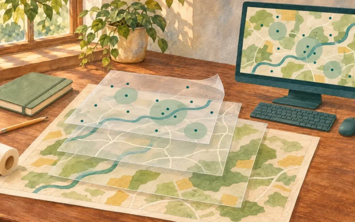
Test your spatial reasoning with this GIS quiz: 24 questions on geographic data, analysis and the limits of mapped evidence. Work through practical scenarios, check each explanation and…