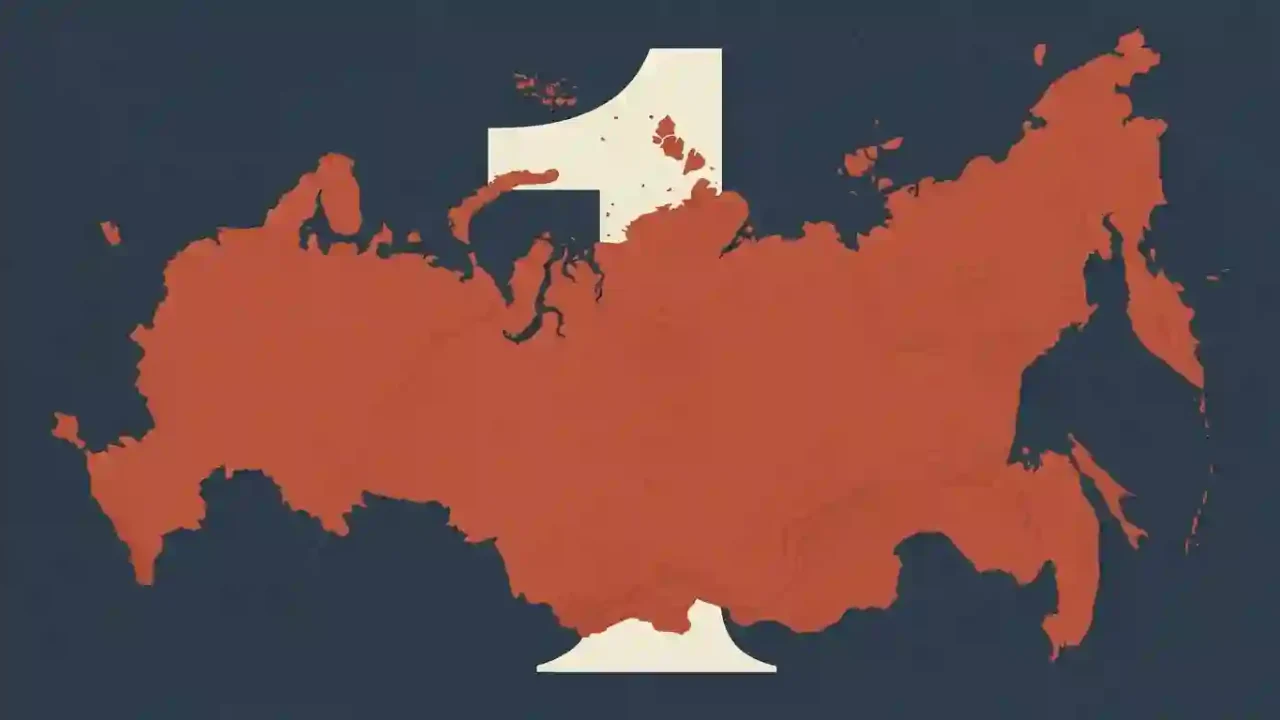
Russia is the largest country in the world by both total surface area and land area. Using the surface-area figure in the United Nations Statistics Division’s 2025 pocketbook, it covers 6,601,670 square miles (17,098,246 square kilometers)—about 1.7 times Canada, the runner-up. Definitions change some lower positions, but not Russia’s first-place ranking.
How to use this article: Start with what area includes, scan the top-10 ranking, resolve the United States–China order, or apply the transcontinental rule.
Why Russia Is the Largest Country
Russia’s published surface area is 6,601,670 square miles (17,098,246 square kilometers). Canada ranks second at 3,855,103 square miles (9,984,670 square kilometers), so Russia is about 71% larger. The gap between them—roughly 2.75 million square miles (7.11 million square kilometers)—is nearly the size of Australia, based on calculations from the same dataset.
Russia at a Glance
- Rank by total surface area: first
- Rank by land area: first
- Next-largest country: Canada
- Geographic position: a transcontinental state extending across Europe and Asia
The World Bank’s FAOSTAT-based series reports about 6.32 million square miles (16.38 million square kilometers) of land for Russia in 2023. Removing inland water lowers the measurement, but it does not change the winner.
Size Is Not the Same as Population or Economic Output
In geographic rankings, “largest country” normally refers to area. A population ranking asks for the most populous country, while an economic ranking needs a named measure such as nominal gross domestic product or purchasing-power parity. Combining those questions produces a list with no consistent meaning.
What Counts as a Country’s Area?
A country’s size sounds like one fixed measurement, yet several valid geographic measures answer different questions. The safest ranking names the measure, applies one source consistently, and states how it treats non-sovereign territories.
Total Area Versus Land Area
| Measurement | What it generally includes | How to use it |
|---|---|---|
| Total or surface area | Land plus inland water; treatment of some coastal water and territories can vary by source | The usual basis for a general “largest country” ranking |
| Land area | Dry land, excluding major inland water bodies, continental-shelf claims, and exclusive economic zones | Better for comparing usable land, ecosystems, or agricultural capacity |
| Maritime zones | Territorial seas and wider zones where a state may hold specified rights | Relevant to maritime jurisdiction, but not added to standard country-area tables |
The World Bank defines land area as total area minus inland water bodies, continental-shelf claims, and exclusive economic zones; major rivers and lakes are usually treated as inland water. Surface-area datasets add water back, but the exact reporting rules are not identical everywhere.
The Sovereign-State Rule
The ranking below includes sovereign countries, not every territory or statistical area listed in international databases. That is why a large autonomous territory is not automatically ranked as an independent country. The same rule also keeps continental areas, maritime claims, and dependencies from being mixed into one list.
Why Total Area Is the Default Here
Total surface area best matches the ordinary search question and makes water-rich countries such as Canada comparable under a stated method. Land area remains a useful second check: it confirms Russia’s lead while showing why some lower ranks differ.
The 10 Largest Countries by Total Area
This table uses surface-area figures from one edition of one source: the United Nations Statistics Division’s World Statistics Pocketbook 2025. Square-mile values are conversions rounded to the nearest whole square mile; the source’s square-kilometer figures are retained as published.
The Ranking at a Glance
| Rank | Country | Surface area |
|---|---|---|
| 1 | Russia | 6,601,670 sq mi (17,098,246 km²) |
| 2 | Canada | 3,855,103 sq mi (9,984,670 km²) |
| 3 | United States | 3,796,742 sq mi (9,833,517 km²) |
| 4 | China | 3,706,581 sq mi (9,600,000 km²) |
| 5 | Brazil | 3,287,956 sq mi (8,515,767 km²) |
| 6 | Australia | 2,969,907 sq mi (7,692,024 km²) |
| 7 | India | 1,269,219 sq mi (3,287,263 km²) |
| 8 | Argentina | 1,079,707 sq mi (2,796,427 km²) |
| 9 | Kazakhstan | 1,052,091 sq mi (2,724,902 km²) |
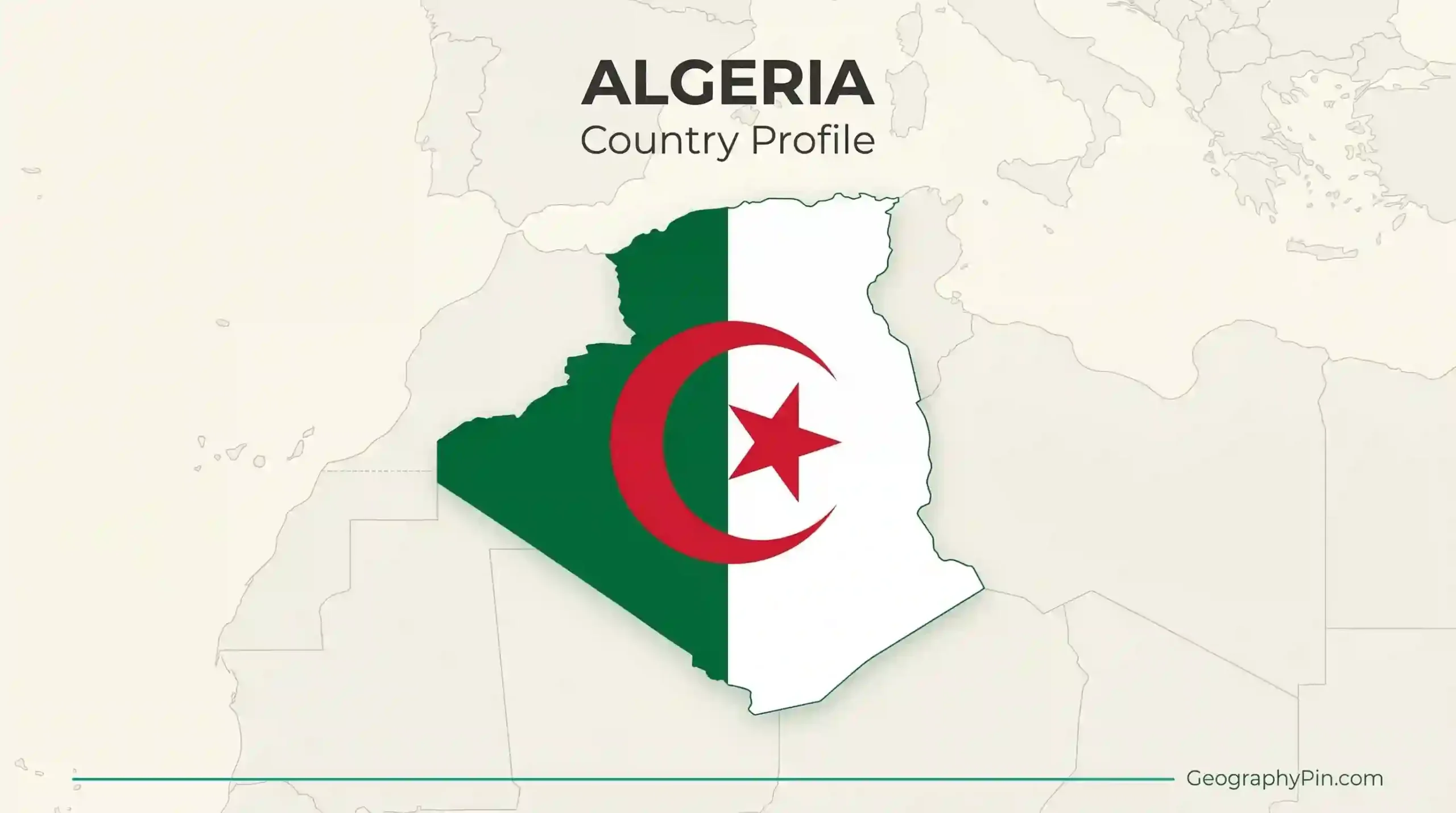
| 10 | Algeria | 919,595 sq mi (2,381,741 km²) |
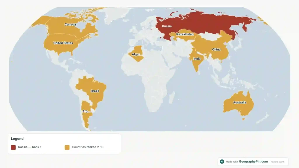
The table has a clear break after Australia: India’s surface area is less than half Australia’s. It also shows that very large countries are distributed across several continents rather than concentrated in one region. Algeria, Africa’s largest country, closes the top ten.
At the other end of the scale, the ten smallest sovereign countries require the same country-versus-territory rule. Keeping that rule consistent matters more than adding false precision.
Why the United States and China Sometimes Change Places
Russia is first and Canada is second in the selected surface-area series. The main disagreement near the top concerns the United States and China, and it comes from measurement choices rather than a changing landscape.
The Third-Place Disagreement
Under the UN figures used here, the United States ranks third at 3,796,742 square miles (9,833,517 square kilometers), ahead of China at 3,706,581 square miles (9,600,000 square kilometers). Other reputable lists can reverse them when they use different national totals or treat water and territorial reporting differently.
A land-only comparison changes the order more clearly. In the World Bank’s FAOSTAT-based series, China has more land area than the United States, while Canada’s large inland-water area no longer helps its position. This is why “third-largest country” is incomplete unless the metric and source are named.
A Three-Question Check for Any Ranking
- Which measure is used? Total surface area and land area are not interchangeable.
- Which entities are included? Check whether dependencies, overseas territories, or disputed areas are handled separately.
- Is one source used throughout? Mixing the largest value available for each country can create a ranking that no single methodology supports.
For a general answer, a transparent single-source surface-area list is the most reproducible choice. For agriculture, habitat, or dry-land comparisons, use a land-area list and expect Canada, China, and the United States to occupy different positions.
How Russia’s Size Shapes Its Geography
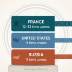
Russia stretches across northern Eurasia, from its European regions to the North Pacific, with a long Arctic frontage. It currently uses 11 civil time zones, from UTC+2 to UTC+12, which makes its east–west scale visible in everyday scheduling as well as on maps.
Climate and Settlement Are Uneven
Large area does not mean uniformly habitable or equally connected land. Arctic tundra, extensive boreal forest, continental interiors, mountain systems, and southern steppe create very different conditions. Population and major urban networks are much more concentrated in European Russia and the southern belt than the national outline alone suggests.
This uneven geography affects transport distance, infrastructure costs, resource access, and settlement density. A country can therefore rank first in area without distributing people or economic activity evenly across that space.
Why Wall Maps Can Overstate the Visual Gap
Russia is genuinely much larger than every other country, but the Mercator projection enlarges high-latitude regions. On a familiar rectangular map, northern Russia and Canada appear even more dominant than they are by measured area. An equal-area projection preserves relative size and is the better visual test.
For a custom comparison, GeographyPin’s world map maker includes Equal Earth and other projection choices. Select an equal-area option before judging country size by the shapes on screen.
Largest Country on Each Continent
Continent-level answers require an extra convention because Russia occupies territory in both Europe and Asia. The table below allows a transcontinental state to qualify wherever it has territory, then names the wholly contained alternative when that changes the answer. GeographyPin’s explanation of how continents are defined covers the wider seven-, six-, and five-continent models.
The Transcontinental Rule
| Continent or region | Largest country | Convention note |
|---|---|---|
| Africa | Algeria | Largest sovereign state located in Africa |
| Asia | Russia | China leads if only countries wholly within Asia are counted |
| Europe | Russia | Ukraine leads if only countries wholly within Europe are counted, using its internationally recognized borders |
| North America | Canada | No transcontinental exception changes the answer |
| South America | Brazil | No transcontinental exception changes the answer |
| Oceania | Australia | Australia is both a country and the region’s dominant landmass |
| Antarctica | No sovereign country | Territorial claims exist, but Antarctica is not one country under the Antarctic Treaty system |
Table downloads (3)
- Three measurements that are often confused (4 × 3)View tableDownload CSV
- Ten largest sovereign countries by UN surface area (11 × 3)View tableDownload CSV
- Continental leaders under an inclusive transcontinental convention (8 × 3)View tableDownload CSV
The country comparisons use the same UN surface-area series shown above. The Antarctica row follows the Antarctic Treaty system’s treatment of territorial claims and does not imply that those claims have disappeared. This convention explains why Russia may be called both Europe’s and Asia’s largest country: a source that assigns each country to only one continent can give a different regional answer without changing any national area.
Frequently Asked Questions
Is Russia larger than Antarctica?
Yes. Russia covers about 6.6 million square miles (17.1 million square kilometers), while Antarctica covers roughly 5.5 million square miles (14.2 million square kilometers). Antarctica is a continent rather than a country, so it would not belong in a country ranking in any case (British Antarctic Survey).
Why is Greenland not listed as a country?
Greenland is an autonomous part of the Kingdom of Denmark, not an independent sovereign state. It may appear separately in databases as a country or area for statistical convenience, but this ranking applies a sovereign-state rule (Denmark’s Ministry of Foreign Affairs).
Which country is largest by population?
India is the world’s most populous country. Population changes over time and answers a demographic question, not the geographic area question addressed by “largest country” (UN DESA, 2024).
Can a country’s measured area change?
Yes, although revisions are often small. Better mapping, changed water definitions, coastline measurement, land reclamation, and revised boundaries or reporting practices can alter published figures. That is why a precise ranking should identify its source and measure.
What Did We Learn Today?
Russia is the world’s largest sovereign country by both total surface area and land area, and its lead over Canada is not sensitive to the usual measurement differences. The useful clarification is that total area, land area, territorial status, and continent rules answer different questions; naming the measure and using one source consistently prevents most ranking confusion.
Sources & Data Notes
Principal surface-area figures came from the United Nations Statistics Division’s World Statistics Pocketbook 2025; square-mile conversions were calculated from its published square-kilometer values and rounded to the nearest whole square mile. Land-area definitions and 2023 figures came from the World Bank series sourced to FAOSTAT. Supporting checks used UN DESA’s World Population Prospects 2024, the British Antarctic Survey, Denmark’s Ministry of Foreign Affairs, the Antarctic Treaty Secretariat, and timeanddate.com. Continental labels follow the stated transcontinental convention, so another continent model may classify regional leaders differently. Z.K. Atlas completed the final factual and editorial review and accepts responsibility for publication; AI tools assisted during the editorial process, including language refinement and the creation or editing of visual materials.