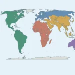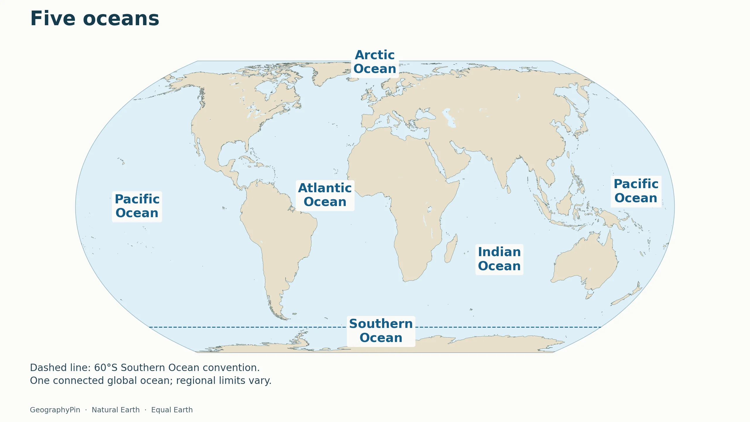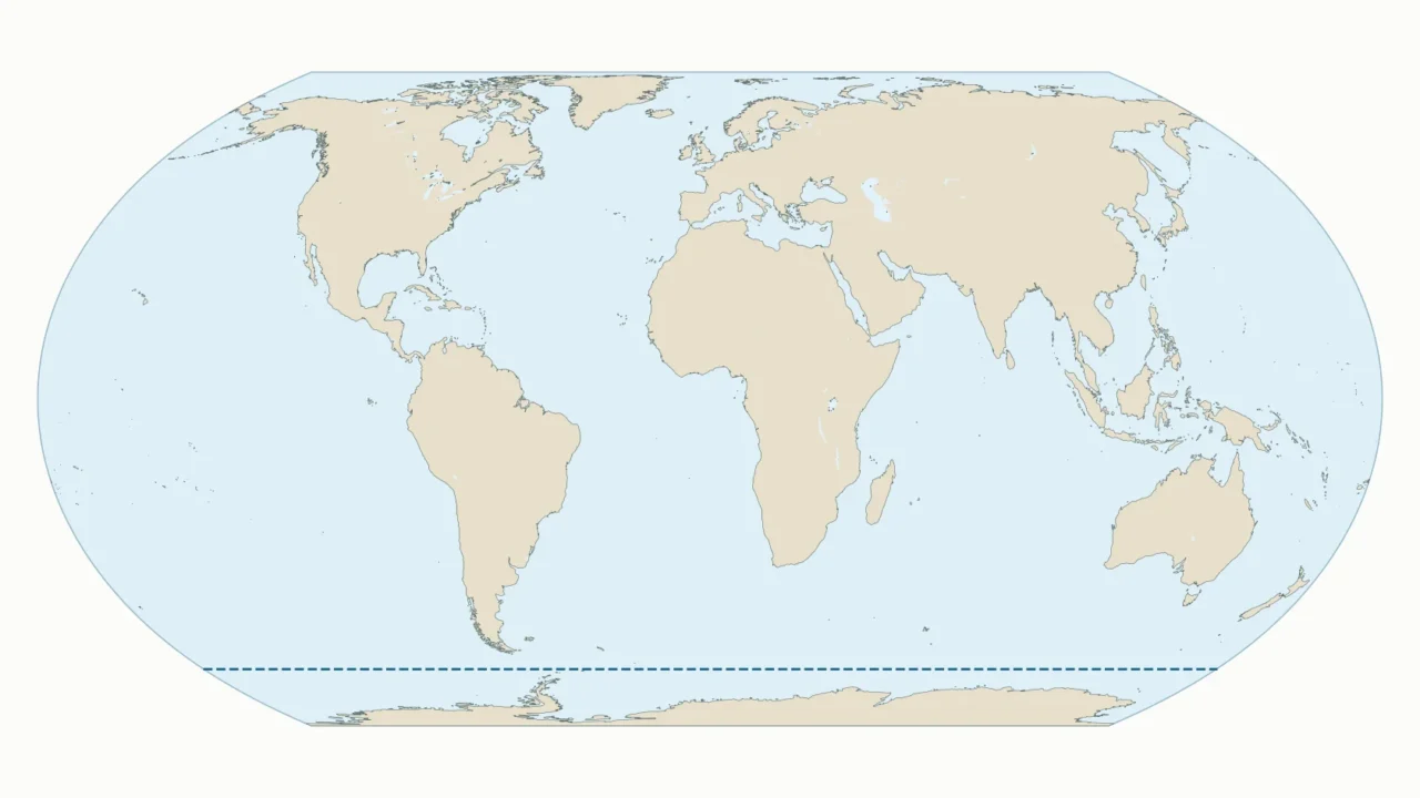
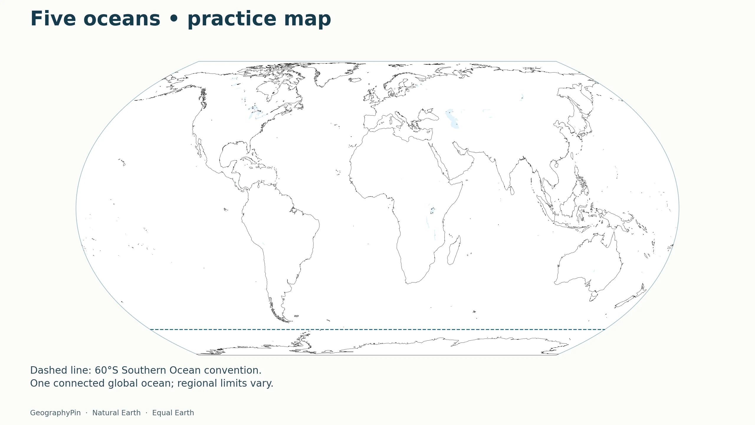
Locate the five oceans on the labeled map, or download the blank version for practice. The dashed line makes this map’s Southern Ocean convention explicit.
The five oceans shown here are the Pacific, Atlantic, Indian, Arctic and Southern. They are named regions of one connected global ocean. The map uses 60°S for the Southern Ocean’s northern limit, a convention that is not universally agreed. Download the labeled map or the blank practice version below.
1. Map of the Five Oceans
Maps fit the screen by default. Select 2× or 4× for details, swipe or scroll within the map, and choose Fit / Reset to restore the full view. Full-size map and PDF links also work without the zoom controls.

Choose the labeled PDF as an answer sheet and the blank PDF for practice. The article uses lightweight WebP images. On phones, large numbered markers match the key immediately below the map; the printable answer sheet uses full names.
The Pacific appears on both sides of the desktop map because the flat map is cut across that ocean. There are not two separate Pacific oceans. Follow the edges around a globe to see the connection. This is a location map, not a nautical chart or an authoritative delimitation of every sea and ocean boundary.
How to use this article: Check the 60°S convention, follow the practice workflow, or compare download formats.
2. The Five Oceans and Where to Find Them
- Pacific Ocean: between the Americas and Asia/Australia. On this map it continues across the left and right edges.
- Atlantic Ocean: between the Americas and Europe/Africa. Look for its long north–south expanse near the center-left of the map.
- Indian Ocean: south of Asia, east of Africa and west of Australia.
- Arctic Ocean: around the North Pole, north of the Eurasian and North American landmasses.
- Southern Ocean: around Antarctica. This resource uses 60°S as its northern limit.
The numbered phone map uses this same order. It is a reading key, not a size ranking. The labels identify broad regions; they are not exact geographic centers or endpoints. On the blank map, place a name in a clear area of water rather than on the nearest continent.
Start with land when learning the oceans. Find Africa, then look west for the Atlantic and east for the Indian. Find South America and repeat the exercise: Pacific to the west, Atlantic to the east. The continents guide helps identify the landmasses used as these reference points.
3. One Global Ocean, Four Names or Five?
NOAA describes one connected global ocean, divided into named geographic regions. The historical four-name scheme lists the Pacific, Atlantic, Indian and Arctic oceans. The five-name scheme also identifies the Southern Ocean around Antarctica. A difference between an older textbook and this map need not mean either is counting separate bodies of water.
Use the scheme requested by your teacher or dataset when completing a specific assignment, and state the convention when comparing maps. On a five-ocean worksheet, do not leave the water around Antarctica unnamed merely because the older four-name model extends other ocean names farther south.
Ocean names are useful geographic divisions, not walls. Water moves between the named regions. This map avoids separate colored ocean polygons because precise boundaries would need a stated delimitation dataset, not just familiar names placed on a coastline map.
4. Where Does the Southern Ocean Begin?
The 60°S convention
In 2023, the International Hydrographic Organization (IHO) recognized the Southern Ocean and set its northern geographic limit at 60°S in Resolution 02/2023. The resolution acknowledges national reservations and allows hydrographic offices to retain technically consistent alternative limits. This map follows 60°S; the line is neither a political border nor a physical boundary in the water.
The line is a geographic reference, not a coastline, wall, current or sea-ice edge. Its position stays at the same latitude in this map; real sea-ice conditions vary. The ocean label belongs in the water outside Antarctica, not inside the ice-covered continent.
On the blank version, the dashed line remains so a learner can identify the convention being tested. If your worksheet needs a completely unmarked world outline, use the continent practice map instead.
5. Ocean or Sea: What Is the Difference?
A sea is generally a smaller named part of the ocean, commonly near land and partly enclosed by it. The Bering Sea, for example, is part of the Pacific. NOAA notes an important exception: the Sargasso Sea is defined by currents rather than surrounding land. The words are not a simple rule based only on size.
This map deliberately leaves sea names off. Adding every sea, gulf and strait would make the five-ocean learning task harder, particularly on a phone. Their absence does not mean that they are disconnected from the ocean or that a country faces only an unnamed stretch of water.
6. Print and Use the Blank Practice Map
A simple practice workflow
Download the blank PDF, choose landscape orientation, and use the printer’s fit-to-page option. Check the preview before printing. Write each ocean name once, then add a second Pacific label at the opposite edge if that helps explain the map’s cut. Compare with the labeled answer map.
For a quick self-check, cover the key and identify the ocean around the North Pole, the ocean between Africa and Australia, and the ocean around Antarctica. The answers are Arctic, Indian and Southern. Explain why a Pacific label can appear twice without increasing the ocean count.
Formats and limitations
PDF is intended for printing; WebP is the lightweight full-image format used here. These are static resources, not editable geographic databases. For a separate custom-map task, use the world map maker.
The Equal Earth projection preserves area relationships, not all distances or shapes. Coastlines are generalized at world scale and small islands may be hard to see. Do not use this resource for navigation, maritime boundaries or measuring travel distances.
What Did We Learn Today?
Ocean names divide one connected body of water into useful geographic regions. The labeled and blank maps use the same five-ocean scheme and explicitly mark the Southern Ocean convention at 60°S. Recognizing the Pacific at both map edges, and distinguishing an ocean from a smaller sea, makes the world map easier to read.
Sources & Data Notes
Maps prepared from retained Natural Earth 1:50m version 5.1.1 polygon data, with country borders dissolved and geometry generalized for web display. Equal Earth projection. Label positions identify broad regions, not legal boundaries. The basemap data are public domain; no third-party map image has been copied. Major inland waters use Natural Earth 1:10m lake polygons, subtracted from the displayed land. Lake jurisdiction is not represented as dry land.