Maps & geography skills
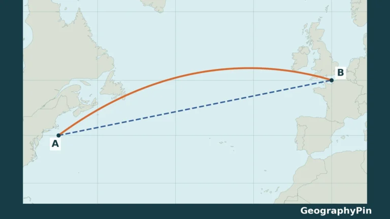
Why Do Flight Paths Look Curved on a Map?
A line that looks like a detour on a flat map can be the shorter way across Earth. The trick is to separate the…
Read articleExplore GeographyPin
You are browsing a collection. Search here or change the filters below.
Maps & geography skills
A line that looks like a detour on a flat map can be the shorter way across Earth. The trick is to separate the…
Read article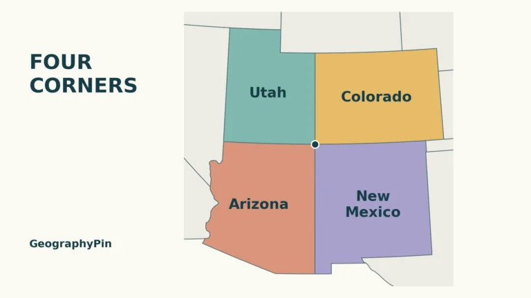
New Mexico · Maps & geography skills
Four Corners is easier to remember as a pattern than as a list. Two states sit north of the meeting point, and two sit…
Read article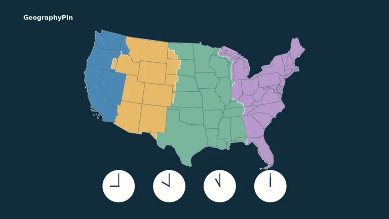
United States · Maps & geography skills
A US time zones map answers one question: which geographic time zone is a place in? To know its clock time, you also need…
Read article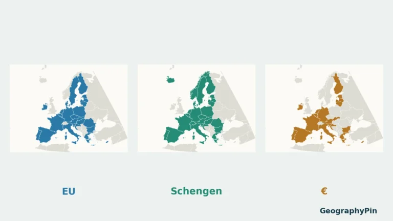
Maps & geography skills
A country can be in Europe but outside the European Union. It can belong to Schengen without using the euro, or use the euro…
Read article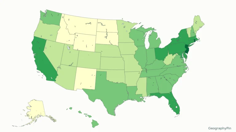
United States · Population
A population-density map compares residents with land area, not just the number of people in each state. Consistent inputs make the state ranking meaningful.
Read article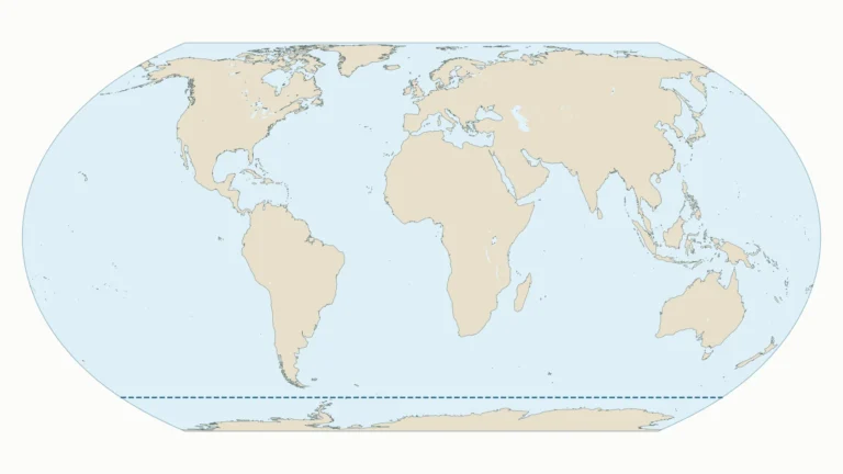
Seas & oceans
Locate the five oceans on the labeled map, or download the blank version for practice. The dashed line makes this map’s Southern Ocean convention…
Read article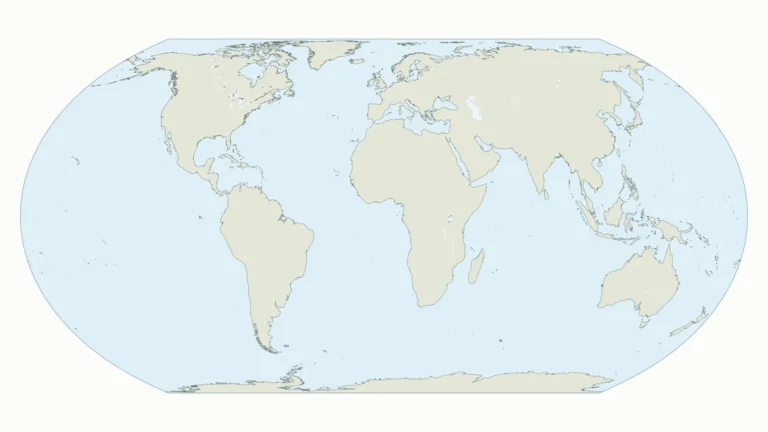
Maps & geography skills
Locate the seven continents, then use the blank map to test yourself. Downloadable files are provided below the answer map.
Read article
Maryland · Maps & geography skills
Maryland’s narrow western extension and Chesapeake coastline can make it harder to recognize than a compact state outline. Its proximity to Washington, DC creates…
Read article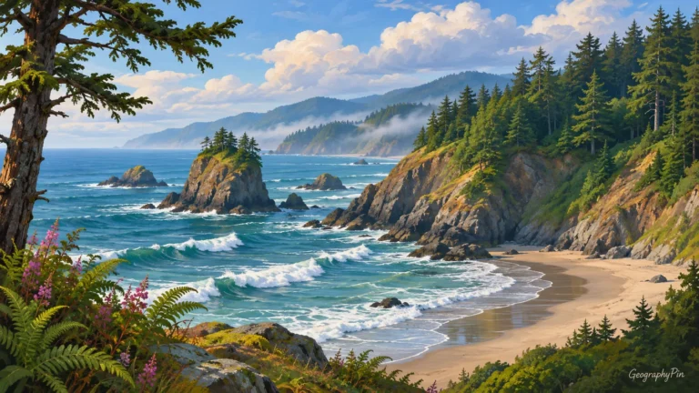
Oregon · Maps & geography skills
In an address, OR identifies Oregon rather than the everyday connecting word “or.” A map reveals another distinction: the state’s Pacific coast and mountain…
Read article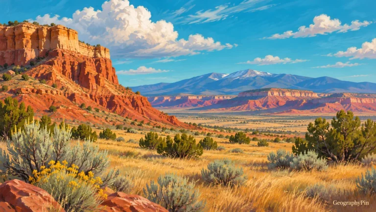
New Mexico · Maps & geography skills
New Mexico is a US state, not another name for the country of Mexico. Its location combines an international border, a four-state corner and…
Read article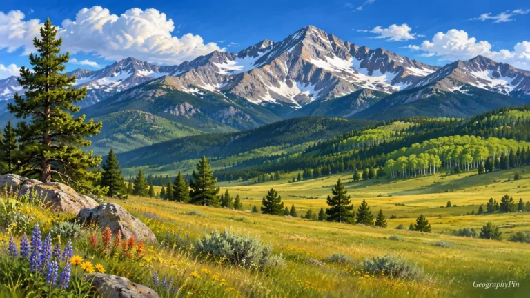
Colorado · Maps & geography skills
Colorado is often pictured as a wall of snowy peaks, but that image leaves out its eastern plains and western plateaus. The postal code…
Read article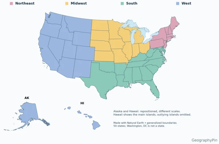
United States · Maps & geography skills
Use the labeled map to locate a state, the alphabetical table to identify its capital, or the blank PDF for a geography exercise. Two-letter…
Read article