Colorado is often pictured as a wall of snowy peaks, but that image leaves out its eastern plains and western plateaus. The postal code is a short answer; the relief map explains why the state is more than its mountains.
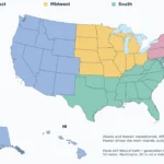
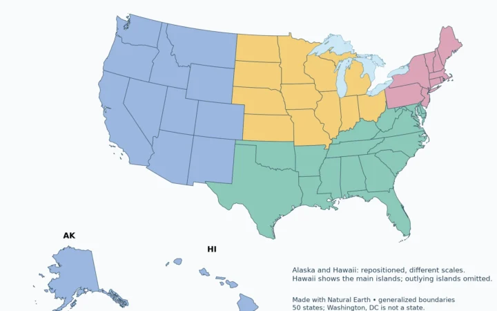
CO is the USPS abbreviation for Colorado, whose capital is Denver. Colorado belongs to the Census Bureau’s West region and Mountain division, not the Midwest. The Rocky Mountains occupy much of its central and western landscape, while broad plains extend across the east. The Continental Divide separates major drainage systems within the mountain country.
Choose your task: locate colorado, read the terrain, understand the drainage systems.
Maps fit the screen by default. Select 2× or 4× for details, swipe or scroll within the map, and choose Fit / Reset for the full view.
1. What Does CO Stand For?
In a US mailing address, CO means Colorado. It is distinct from CA for California and CT for Connecticut. A postal code identifies the state, not its landscape or climate; that distinction matters in Colorado because a single address abbreviation covers mountain valleys, plains and plateau country.
The Census label “Mountain division” is a statistical grouping of whole states. It does not mean that every part of Colorado is mountainous. Similarly, Denver’s role as a federal regional-office center does not redefine which states belong to the Census West. Administrative service areas and statistical regions can use different boundaries.
2. Colorado on the US Map
Locate Colorado
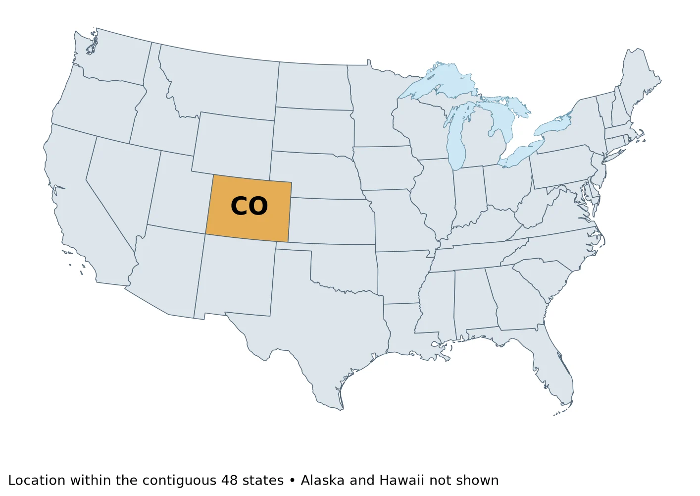
Colorado is an inland state in the western United States. Its eastern side faces the Great Plains, while its mountain country forms part of the much longer Rocky Mountain system. This placement helps explain why a journey across Colorado from east to west can pass through sharply different terrain without crossing a state line.
3. Rocky Mountains Versus Eastern Plains
Read the terrain
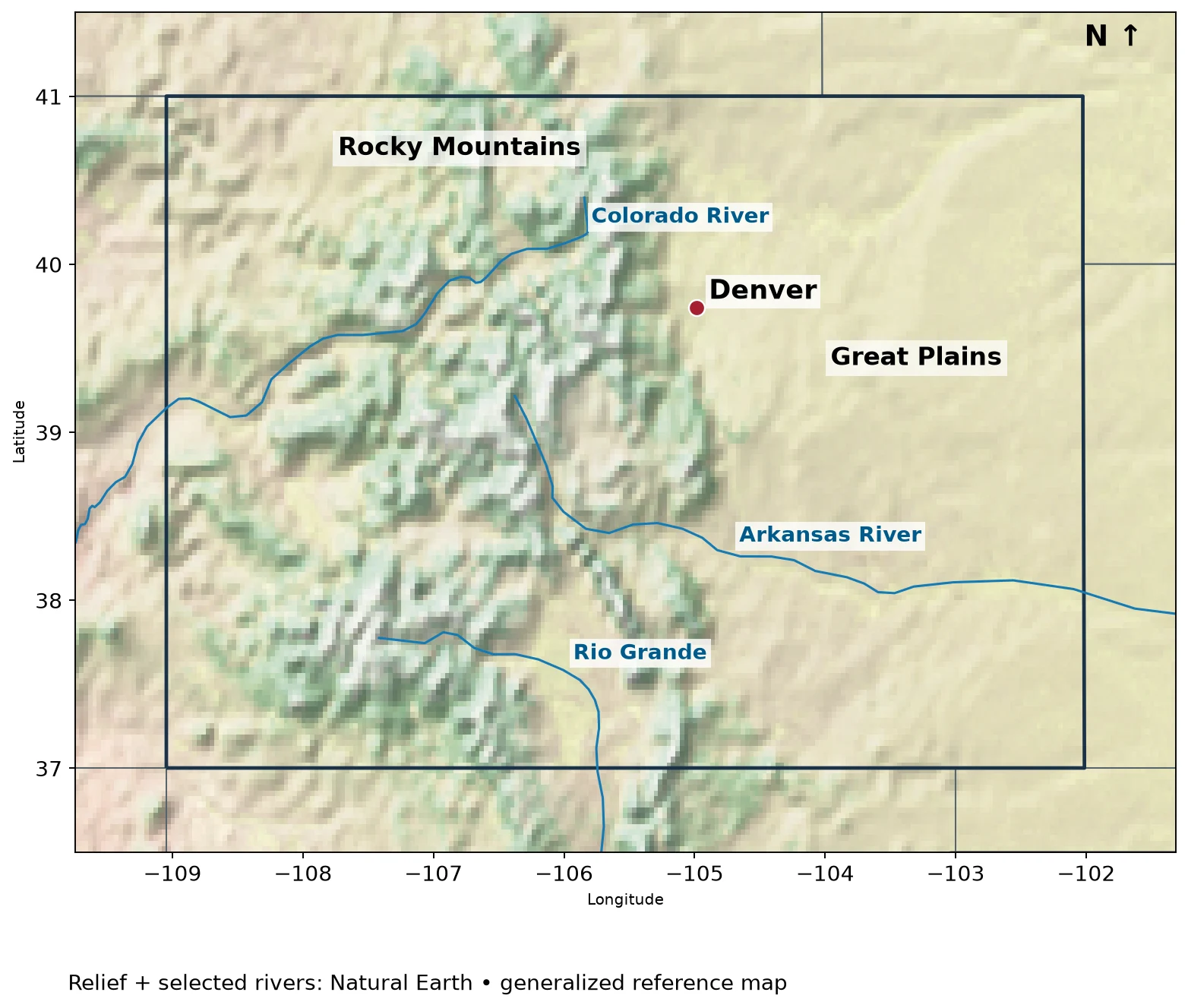
The eastern plains are not a small exception to a wholly mountainous state. They form an extensive landscape east of the Front Range, with agricultural land, river valleys and gradually changing elevations. “Plain” describes relatively modest local relief, not land that must be near sea level.
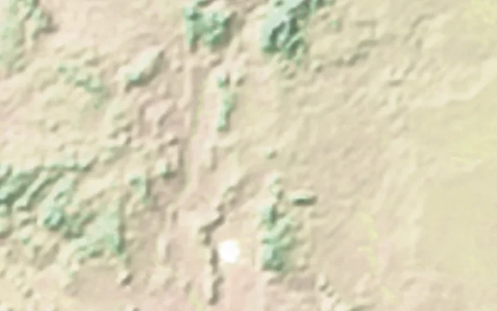
The Rocky Mountains rise farther west. Their ranges are separated by valleys and basins rather than forming one uninterrupted ridge. On the relief map, the contrast is visible as rougher terrain through the mountain belt and smoother terrain toward Kansas and Nebraska. Denver sits near the eastern mountain margin, not on top of the Continental Divide.
Western Colorado also includes plateau and canyon country associated with the Colorado Plateau. The geological transition does not follow a neat county-by-county rule. A shaded-relief map is useful for recognizing broad patterns, but it should not be treated as an official map of physiographic-province boundaries.
4. Major Rivers and the Continental Divide
Understand the drainage systems
The Continental Divide is a watershed boundary: it separates land whose runoff enters different major drainage systems. It follows a winding route through Colorado’s mountains, not a straight north–south line and not the entire eastern edge of the Rockies. A mountain summit can be high without sitting on that divide.
The Colorado River system drains much of the western side toward the Gulf of California. The Arkansas and South Platte systems carry water eastward, eventually through the Mississippi system toward the Gulf of Mexico. The Rio Grande begins in Colorado and flows south through New Mexico before becoming an international-border river farther downstream.
These examples describe drainage connections, not a guarantee that every drop reaches the sea. Reservoirs, diversions, evaporation and water use affect actual flows. Nor should the Colorado River in this discussion be confused with the separate Colorado River in Texas. A river name alone does not identify a basin.
USGS and Colorado Geological Survey materials describe the importance of mountain snowpack to these river systems. The map shows selected generalized channels, not every tributary, reservoir or water-transfer route. Use specialist watershed data for precise basin boundaries or water-management decisions.
5. Denver, Borders and Four Corners
Denver is the state capital. Colorado shares extended state boundaries with Wyoming and Nebraska to the north, Kansas to the east, Oklahoma and New Mexico to the south, and Utah to the west. Arizona meets Colorado only at the Four Corners point. Counting that point contact as a “neighbor” is a convention that should be stated rather than hidden in a total.
Colorado’s outline looks nearly rectangular at this scale, but a small-scale drawing is not the legal survey record. Four Corners is also not something to relocate by drawing approximate latitude and longitude lines on an educational map. NOAA explains why the established monument marks the legal meeting point even when simplified coordinate descriptions cause confusion.
What Did We Learn Today?
CO identifies Colorado, but the state’s geography requires more than a mountain stereotype. Plains, mountain ranges and plateau country coexist within its borders. The Continental Divide organizes major drainage systems, while Denver’s location and the Four Corners point show why capital cities, physical features and political boundaries need separate explanations.
Sources & Data Notes
Maps use Natural Earth public-domain shaded relief, 1:50 million administrative boundaries, river centerlines and populated-place points. Relief is an illustrative raster, not a numeric elevation dataset. Blue lines show selected mapped rivers; the red point locates the capital. State outlines and river courses are generalized, not surveyed property boundaries. The Continental Divide is discussed in the text but is not drawn on these maps.
Great Lakes water is separated from state land using Natural Earth lake polygons. Administrative lake jurisdiction is not shown as dry land; state counts and Census membership are unchanged.