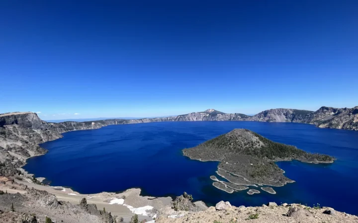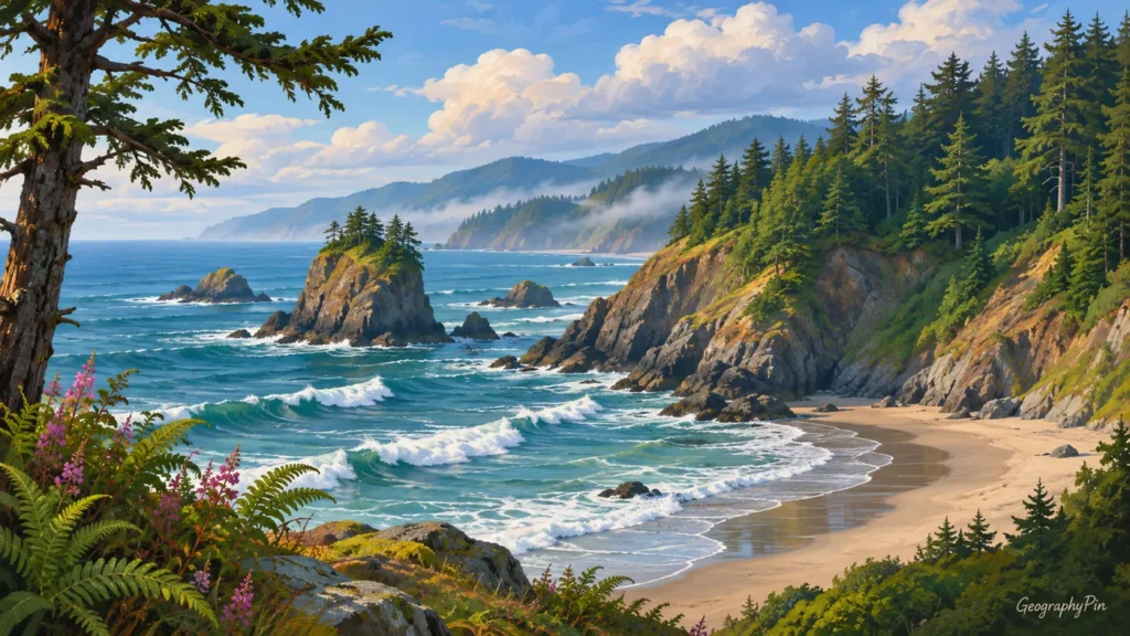
In an address, OR identifies Oregon rather than the everyday connecting word “or.” A map reveals another distinction: the state’s Pacific coast and mountain slopes do not share the same landscape or climate as its dry interior.
OR is the USPS abbreviation for Oregon, a state on the Pacific coast of the United States. Its capital is Salem, not Portland. Oregon belongs to the Census West region and Pacific division. Washington, Idaho, Nevada and California are its neighboring states. The Cascade Range helps separate wetter western landscapes from much drier country to the east.
How to use this article: interpret or in an address, distinguish salem and portland, compare coast and interior.
Use the US states map and capital table to compare state abbreviations, or the Census regions and divisions map to check regional classifications.
Maps fit the screen by default. Select 2× or 4× for details, swipe or scroll within the map, and choose Fit / Reset for the full view.
1. OR Means Oregon
Interpret OR in an address
USPS uses OR for Oregon. Oklahoma uses OK, and Ohio uses OH, so these similarly starting names should not be substituted for one another. In a mailing address, the state code comes after the city name and before the ZIP Code. Outside an address or state list, the letters can have other meanings, so read the context rather than treating every “OR” as a place.
“Pacific Northwest” describes Oregon’s broader geographic setting, but it is not a separate state or a single universal boundary system. The Census Pacific division is a defined statistical category; informal regional descriptions may serve a different purpose.
2. Oregon on the US Map
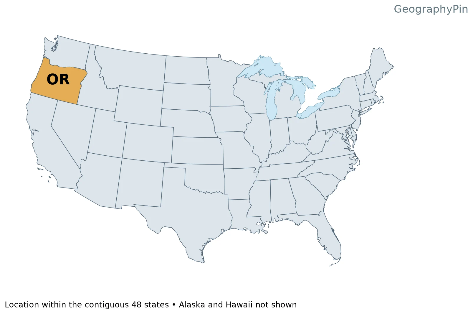
The Pacific Ocean lies west of Oregon. Washington is to the north, Idaho to the east, and California and Nevada to the south. The Columbia River forms much of the northern boundary, while the Snake River forms part of the boundary with Idaho. Neither statement means that the entire state line follows a river.
These water boundaries help explain Oregon’s shape. They also show why a political map and a physical map should be read together: a state line can follow a river in one stretch and a surveyed line in another. The simplified outlines here are for location, not resolving the legal position of a shoreline or island.
3. Salem and Portland Are Different Cities
Distinguish Salem and Portland
Salem is Oregon’s state capital, as the Oregon Secretary of State and Census geographic guide identify. Portland is a separate city farther north in the Willamette Valley setting, near the Columbia and Willamette rivers. A city’s prominence does not make it the seat of state government.
The capital marker on the relief map locates Salem. It does not represent the full extent of the city, a metropolitan area or the whole Willamette Valley. Those are different geographic units, and their boundaries should not be swapped when looking up statistics or planning a journey.
4. Coast, Cascades and High Desert
Compare coast and interior
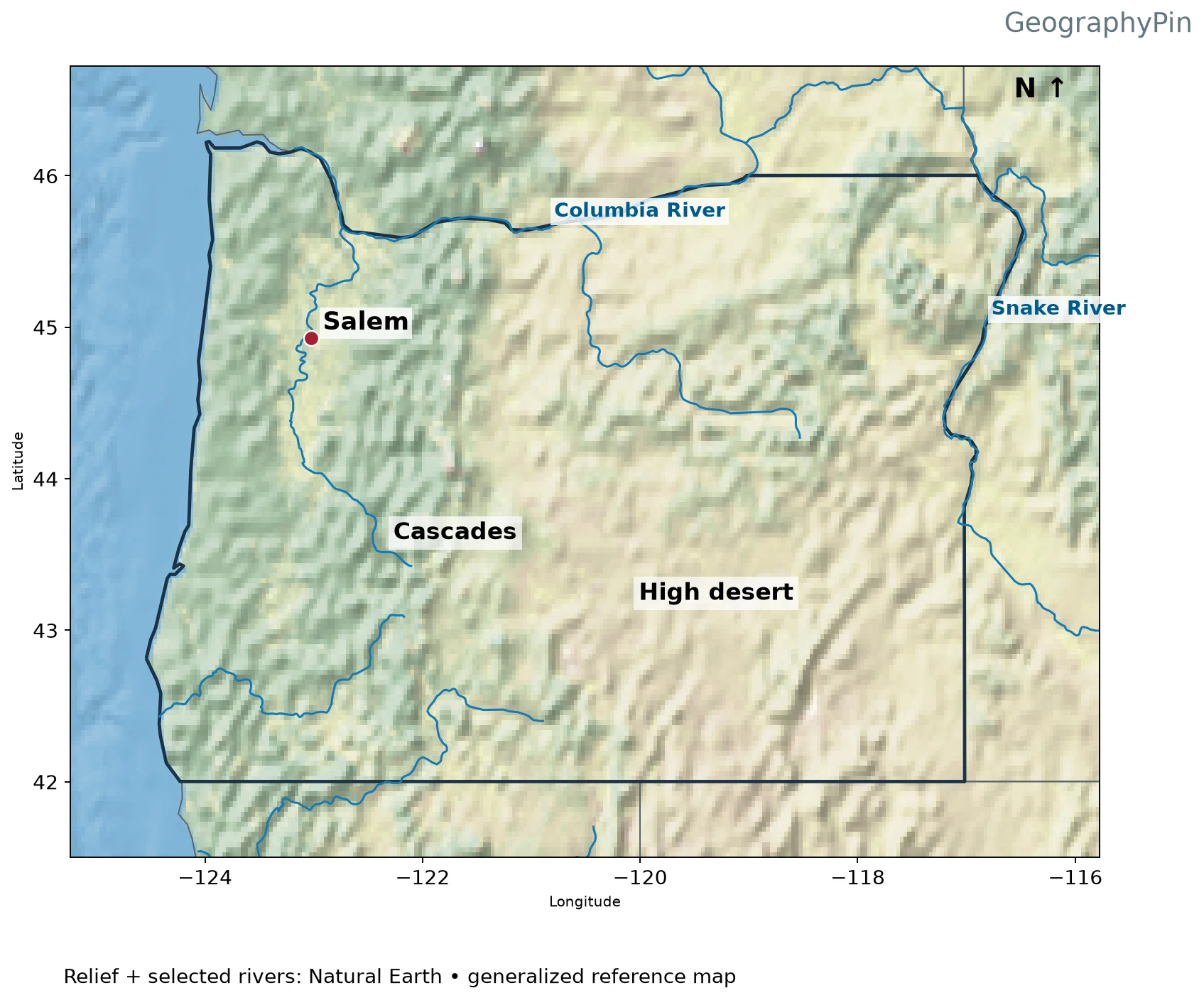
Western Oregon includes a Pacific coastal strip, the Coast Range and the Willamette Valley. Farther east, the Cascades create another prominent mountain belt. The terrain does not change directly from ocean to one mountain wall and then to a uniform desert; valleys, ranges and basins interrupt that simple picture.
Moist air moving inland from the Pacific can rise over mountain slopes, cool and produce precipitation. On the leeward side, descending air is often drier. NASA’s Oregon rain-shadow explanation and USGS hydroclimate material describe this broad contrast across the Cascades. It helps account for the much drier landscapes east of the range, although it does not predict the weather on a particular day.
“High desert” is a useful description for parts of the interior, not a claim that all eastern Oregon is identical. Elevation, local mountains and individual basins create additional variation. The relief map shows the terrain structure; it is not a precipitation map and its green or brown shading should not be read as a measured rainfall total.
What Did We Learn Today?
OR identifies Oregon, and Salem is its capital. The Pacific coast, Coast Range, valley and Cascade settings lead into a drier interior rather than one uniform landscape. River boundaries and the rain-shadow contrast make the state easier to understand than the postal abbreviation alone.
Sources & Data Notes
Original maps use public-domain Natural Earth state boundaries, shaded relief, populated-place points and selected river centerlines. They are generalized geographic references, not navigation charts or legal boundary surveys. Relief colors do not constitute a numeric elevation scale. A capital is marked with a red point; only selected rivers are shown. Locator maps show the contiguous 48 states, omitting Alaska and Hawaii.
Great Lakes water is separated from state land using Natural Earth lake polygons. Administrative lake jurisdiction is not shown as dry land; state counts and Census membership are unchanged.