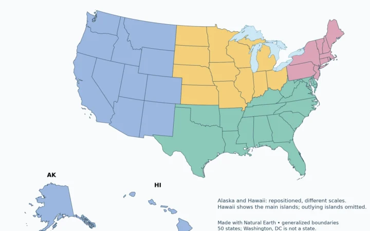
New Mexico is a US state, not another name for the country of Mexico. Its location combines an international border, a four-state corner and landscapes that range from desert basins to high mountains.
NM is the USPS abbreviation for New Mexico, a state in the southwestern United States. Santa Fe is its capital. It shares extended borders with Arizona, Colorado, Oklahoma and Texas, and an international border with Mexico. Utah meets it only at the Four Corners point. In Census classifications, New Mexico belongs to the West and Mountain division.
Choose your task: identify the state, distinguish borders and point contact, read the terrain and river map.
Maps fit the screen by default. Select 2× or 4× for details, swipe or scroll within the map, and choose Fit / Reset for the full view.
1. NM Means New Mexico
Identify the state
The two-letter code NM identifies New Mexico in US addresses. Mexico is a separate country, while New Mexico is one of the 50 US states. The similarity in names does not make the state a present-day administrative subdivision of that country.
Historical references require more care: “New Mexico Territory” did not always have the same boundaries as today’s state. The Census Bureau specifically cautions that early territorial census totals covered areas outside present-day New Mexico. Do not compare those totals with modern state figures as though the geographic unit never changed.
2. Where New Mexico Is
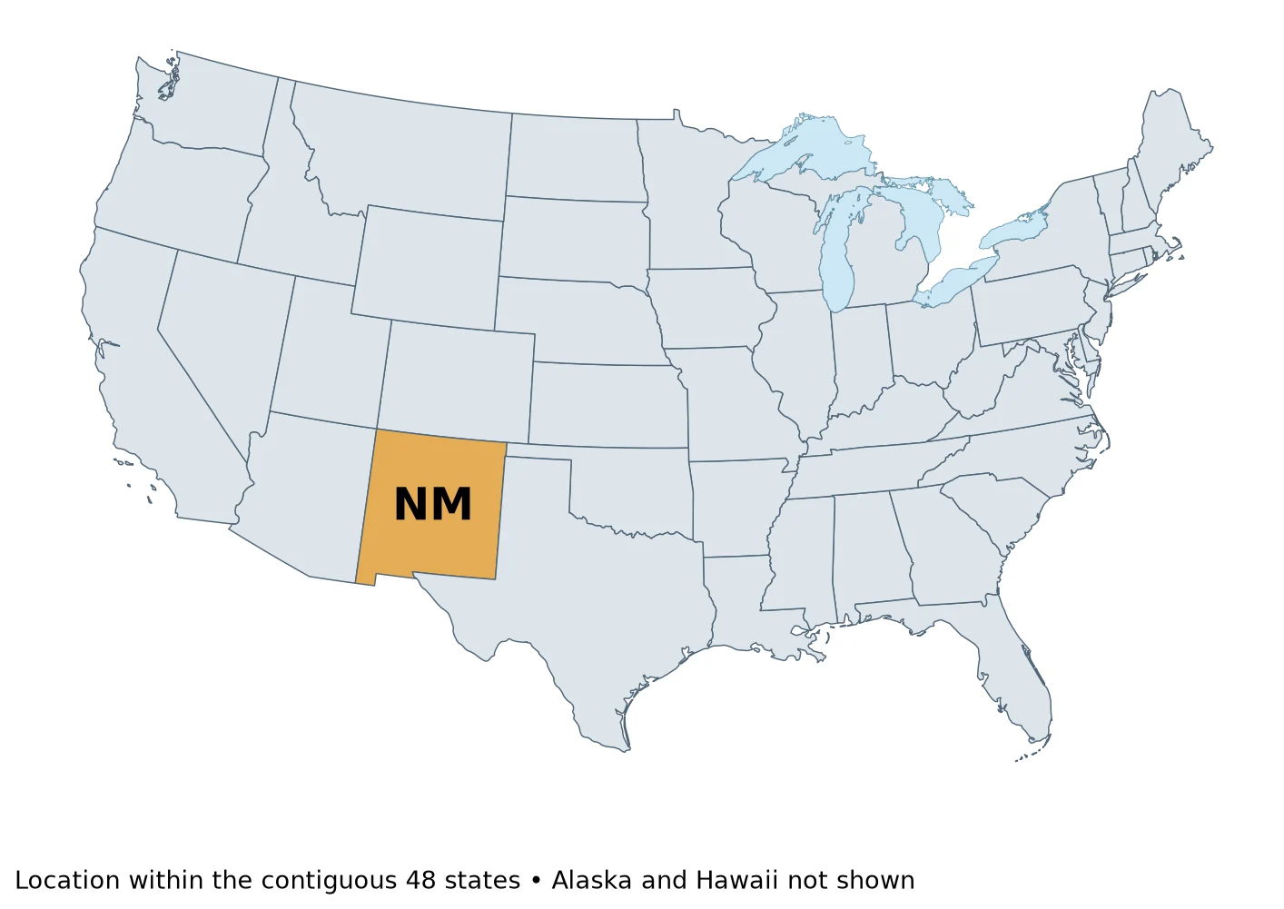
New Mexico lies east of Arizona, south of Colorado and west of much of Texas. Its short northeastern boundary reaches the Oklahoma Panhandle. The southern international border separates it from Mexico. A map of the United States alone can make that international relationship less obvious, so distinguish a state boundary from a national boundary when reading a regional map.
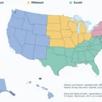
“Southwest” is a useful geographic description, but it is not one of the four Census regions. Under that statistical framework, the state is in the West. Those descriptions answer different questions and are not contradictory.
3. Santa Fe and the Four Corners Distinction
Distinguish borders and point contact
Santa Fe is the capital. It is not interchangeable with Albuquerque, another major New Mexico city. Both belong to the same state, but a city name and a state capital are different kinds of geographic information.
| Neighbor | Type of contact |
|---|---|
| Arizona | Extended state boundary to the west |
| Colorado | Extended state boundary to the north |
| Oklahoma | Short state boundary in the northeast |
| Texas | State boundary along the east and part of the south |
| Utah | Point contact only at Four Corners |
| Mexico | International boundary to the south |
The Four Corners monument marks the meeting of Arizona, Colorado, New Mexico and Utah. New Mexico and Utah touch diagonally at that point; they do not share a long state-line segment. A count of neighboring states may therefore differ depending on whether a point contact is included. The table states the distinction instead of disguising it.
4. Desert, Mountains and the Rio Grande
Read the terrain and river map
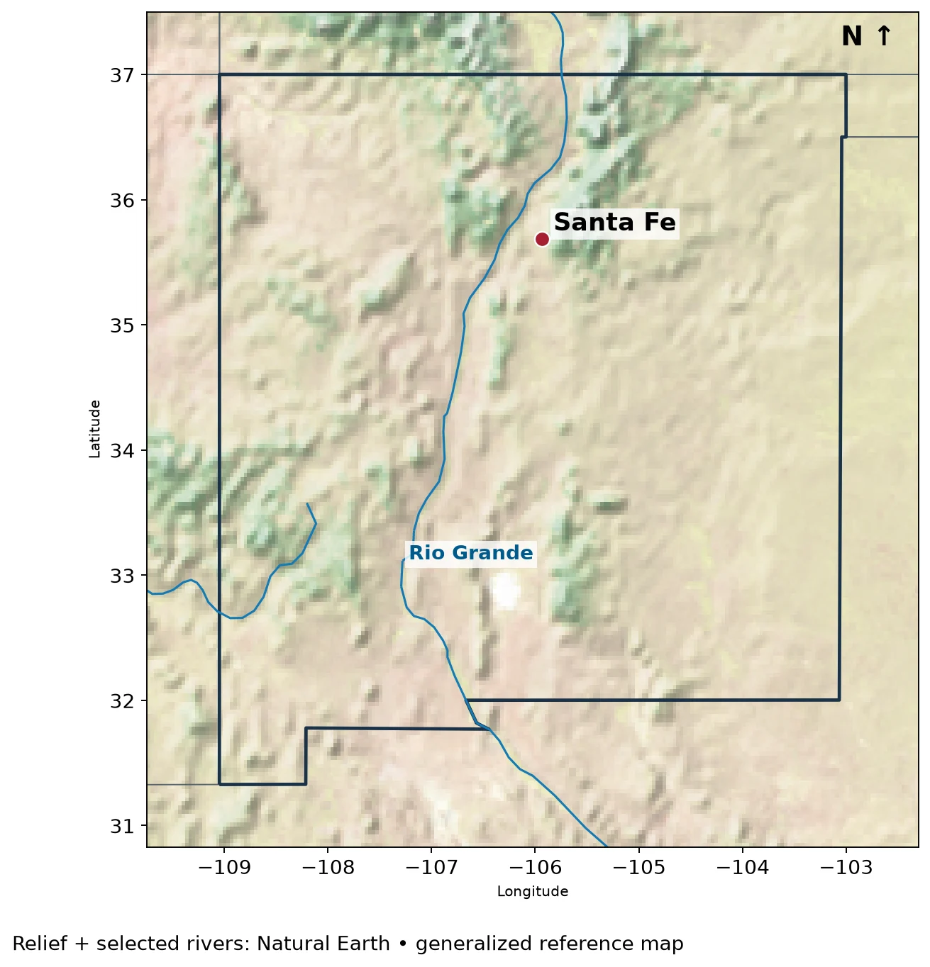
The Rio Grande enters New Mexico from Colorado and continues south through the state. It is not an international boundary along its entire course: the familiar US–Mexico border role begins farther downstream. The river’s name therefore should not be used as a shortcut for locating the national border in northern or central New Mexico.
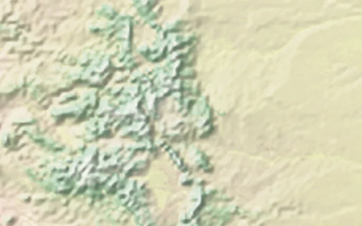
The landscape is not uniformly low, hot desert. Southern areas include part of the Chihuahuan Desert, while northern New Mexico includes mountain country associated with the southern Rocky Mountains. Plateaus, basins and river-cut terrain add further variety. Elevation and local setting matter as much as the broad southwestern label.
The Rio Grande del Norte area illustrates the contrast between river and surrounding upland: a deeply incised river gorge cuts through high-desert terrain. Farther south, mountain ranges rise above desert basins. These examples explain why a single desert icon is a poor substitute for a relief map.
What Did We Learn Today?
NM means the US state of New Mexico, whose capital is Santa Fe. Its four extended state boundaries, Utah point contact and international border are different relationships. The Rio Grande and the contrast between desert basins, plateaus and mountains make its geography more varied than its name or postal code suggests.
Sources & Data Notes
Maps use Natural Earth public-domain shaded relief, 1:50 million administrative boundaries, river centerlines and populated-place points. Relief is an illustrative raster, not a numeric elevation dataset. Blue lines show selected mapped rivers; the red point locates the capital. State outlines and river courses are generalized, not surveyed property boundaries.
Great Lakes water is separated from state land using Natural Earth lake polygons. Administrative lake jurisdiction is not shown as dry land; state counts and Census membership are unchanged.