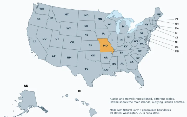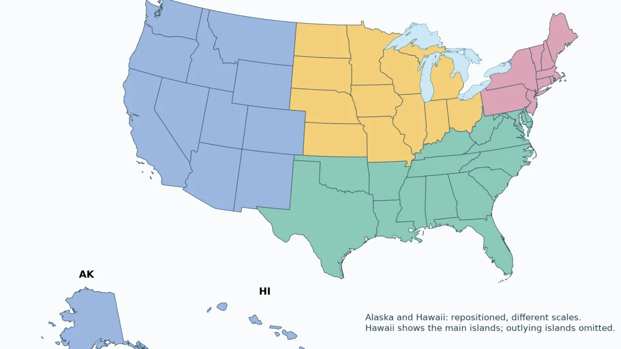
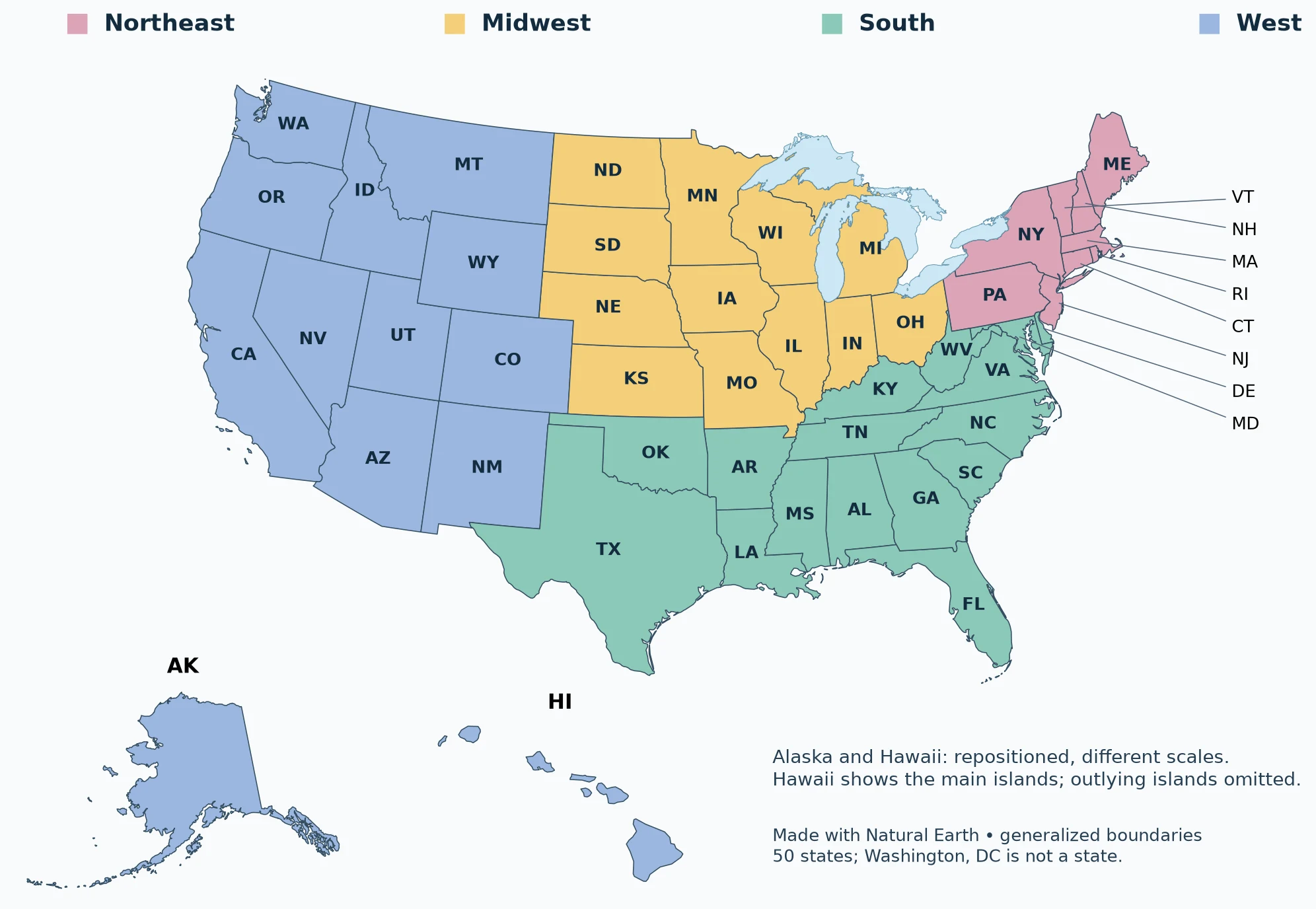
Use the labeled map to locate a state, the alphabetical table to identify its capital, or the blank PDF for a geography exercise. Two-letter codes keep the national map legible; the table supplies every full name.
The United States has 50 states. Washington, DC is the federal district, not a fifty-first state, and US territories are separate from this state list. Alaska and Hawaii are states even though they are not part of the contiguous 48. Each state has a capital and a two-letter USPS postal abbreviation.
Choose your task: read the state labels, look up a capital or code, use the blank map.
1. Labeled Map of All 50 US States
Read the state labels
Explore larger state labels
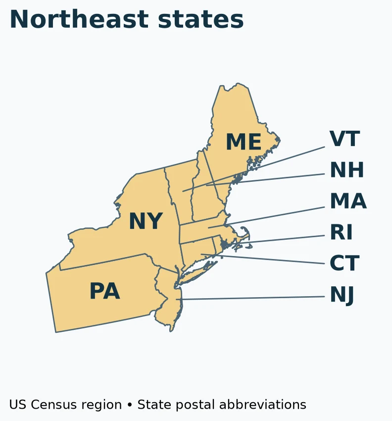
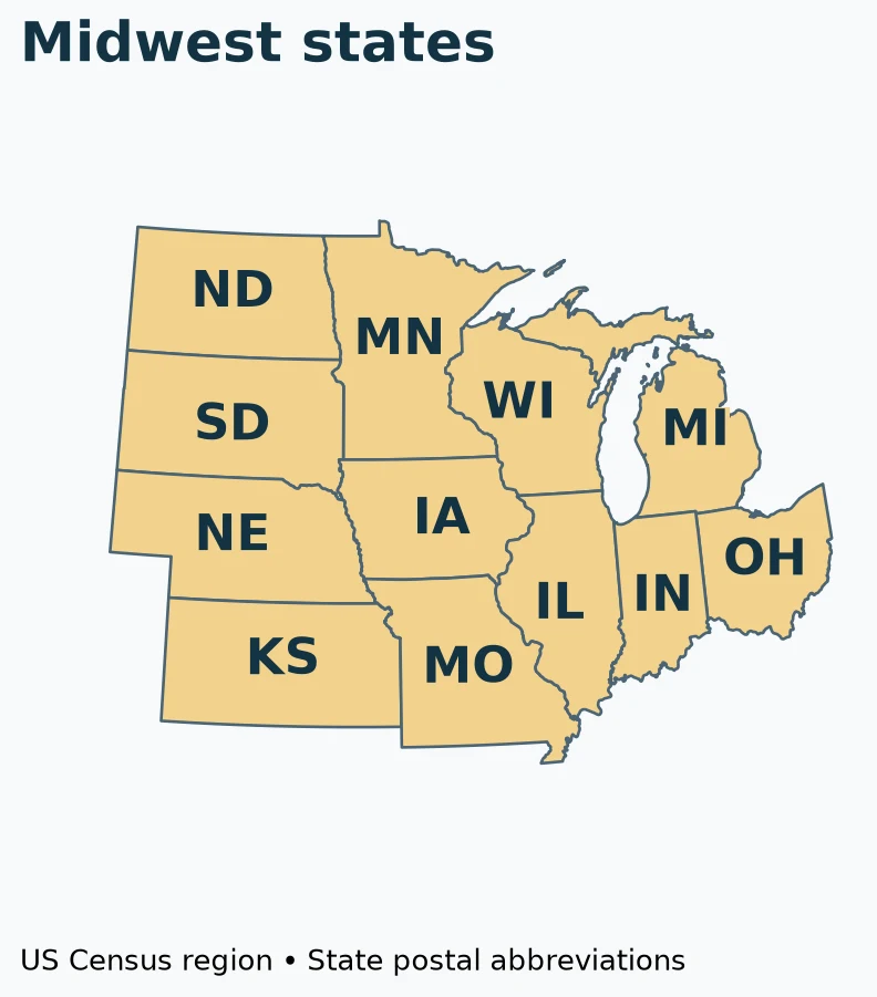
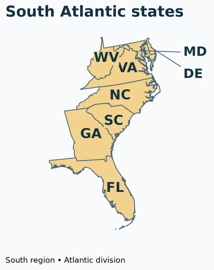
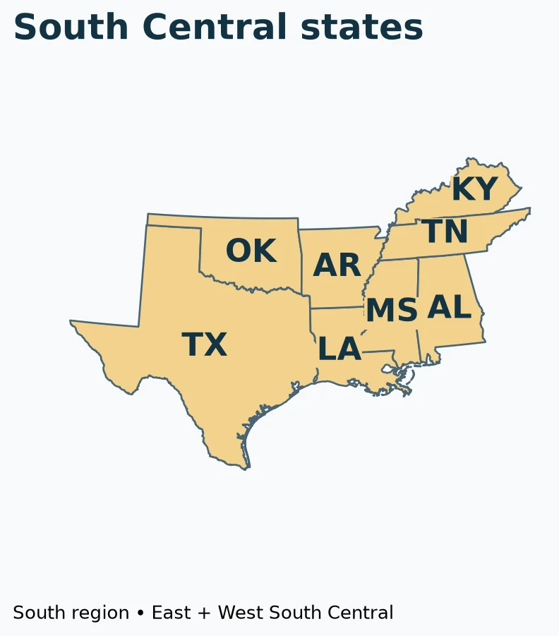
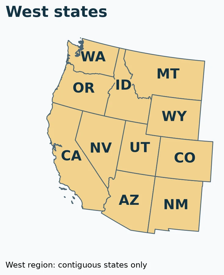
Open a region below. Gold marks the selected states; the panels use different scales. State names and capitals are listed in the table below.
Northeast
Midwest
South: Atlantic states
South: Central states
West: contiguous states
Alaska and Hawaii
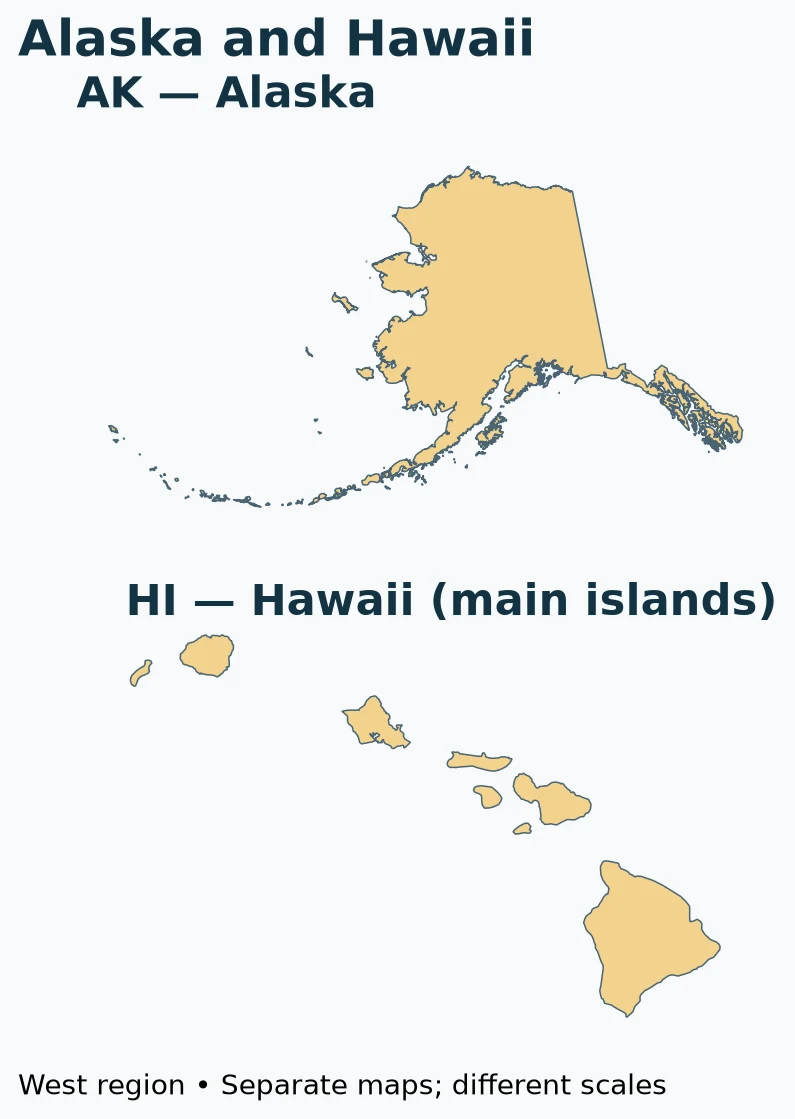
Printable Northeast enlargement (PDF)
Start with a familiar coastline or border, then match the two-letter label to the table. California is CA, Colorado is CO, and Connecticut is CT: similar opening letters do not mean similar locations. On a phone, open the PDF to zoom without blurring the labels.
2. Alphabetical 50-State Table
Look up a capital or code
| State | Capital | Code |
|---|---|---|
| Alabama | Montgomery | AL |
| Alaska | Juneau | AK |
| Arizona | Phoenix | AZ |
| Arkansas | Little Rock | AR |
| California | Sacramento | CA |
| Colorado | Denver | CO |
| Connecticut | Hartford | CT |
| Delaware | Dover | DE |
| Florida | Tallahassee | FL |
| Georgia | Atlanta | GA |
| Hawaii | Honolulu | HI |
| Idaho | Boise | ID |
| Illinois | Springfield | IL |
| Indiana | Indianapolis | IN |
| Iowa | Des Moines | IA |
| Kansas | Topeka | KS |
| Kentucky | Frankfort | KY |
| Louisiana | Baton Rouge | LA |
| Maine | Augusta | ME |
| Maryland | Annapolis | MD |
| Massachusetts | Boston | MA |
| Michigan | Lansing | MI |
| Minnesota | Saint Paul | MN |
| Mississippi | Jackson | MS |
| Missouri | Jefferson City | MO |
| Montana | Helena | MT |
| Nebraska | Lincoln | NE |
| Nevada | Carson City | NV |
| New Hampshire | Concord | NH |
| New Jersey | Trenton | NJ |
| New Mexico | Santa Fe | NM |
| New York | Albany | NY |
| North Carolina | Raleigh | NC |
| North Dakota | Bismarck | ND |
| Ohio | Columbus | OH |
| Oklahoma | Oklahoma City | OK |
| Oregon | Salem | OR |
| Pennsylvania | Harrisburg | PA |
| Rhode Island | Providence | RI |
| South Carolina | Columbia | SC |
| South Dakota | Pierre | SD |
| Tennessee | Nashville | TN |
| Texas | Austin | TX |
| Utah | Salt Lake City | UT |
| Vermont | Montpelier | VT |
| Virginia | Richmond | VA |
| Washington | Olympia | WA |
| West Virginia | Charleston | WV |
| Wisconsin | Madison | WI |
| Wyoming | Cheyenne | WY |
The capital is the seat of state government, not necessarily the largest or best-known city. New York’s capital is Albany, not New York City; California’s is Sacramento, not Los Angeles. Postal abbreviations identify states in addresses, but a postal code does not by itself establish statehood. USPS also assigns codes to DC and several non-state destinations.
Download the state, capital, abbreviation, region and division CSV. The file contains 50 state rows, one header row, and no population estimates.
3. Blank US States Map
Use the blank map
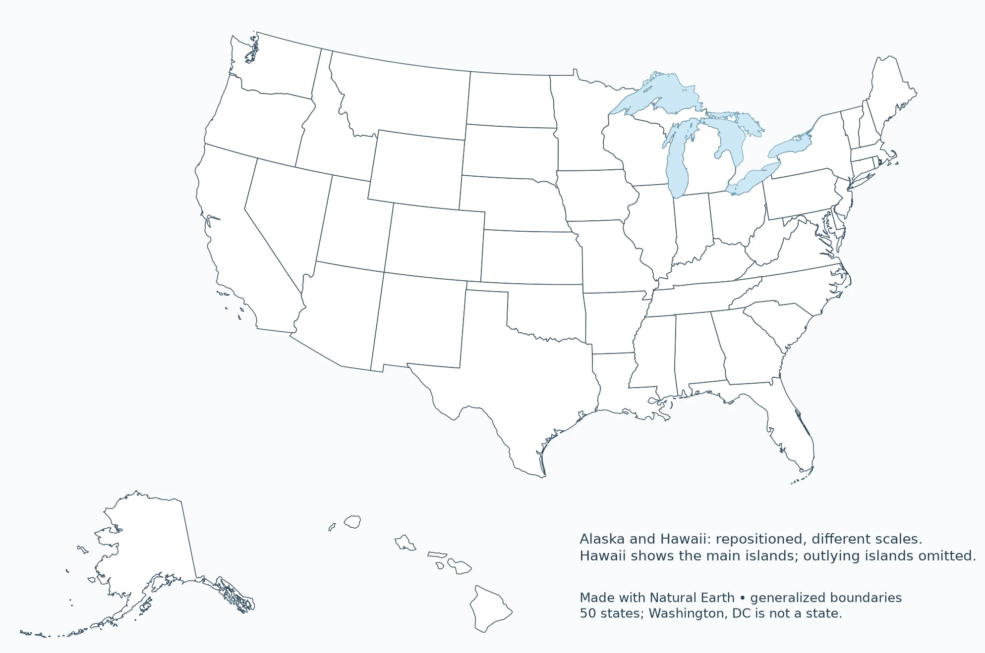
For a first exercise, label the states you recognize before consulting the table. For a second, write their capitals on a separate answer sheet rather than squeezing long city names into small outlines. The blank map preserves the same boundary dataset as the labeled version, so the answer key is directly comparable. Printing at “fit to page” changes scale, not which states are shown.
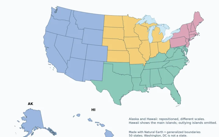
4. States by Census Region
| Region | States |
|---|---|
| Northeast | Connecticut, Maine, Massachusetts, New Hampshire, New Jersey, New York, Pennsylvania, Rhode Island, Vermont |
| Midwest | Illinois, Indiana, Iowa, Kansas, Michigan, Minnesota, Missouri, Nebraska, North Dakota, Ohio, South Dakota, Wisconsin |
| South | Alabama, Arkansas, Delaware, Florida, Georgia, Kentucky, Louisiana, Maryland, Mississippi, North Carolina, Oklahoma, South Carolina, Tennessee, Texas, Virginia, West Virginia |
| West | Alaska, Arizona, California, Colorado, Hawaii, Idaho, Montana, Nevada, New Mexico, Oregon, Utah, Washington, Wyoming |
The Census Bureau’s four regions are statistical groupings: Northeast, Midwest, South and West. DC belongs to the South for this classification, but is not added to the 50-state count. The groupings describe neither a climate map nor every resident’s cultural identity. Texas is in the South, for example, even when a different discussion places part of Texas in the Southwest.
5. Alaska, Hawaii and the Contiguous United States
“Contiguous United States” means the adjoining 48 states. Alaska lies northwest of Canada, while Hawaii is in the Pacific Ocean. Moving both into inset boxes lets a national reference map show all states without making the mainland labels too small. Their inset sizes must not be used to compare land area with other states.
A map that places Alaska beside California is using a layout device, not showing a shared border. The PDF deliberately identifies its inset treatment. For precise distance or area work, use a suitable geographic dataset and projection rather than measuring this teaching map.
What Did We Learn Today?
State names, capitals and postal codes answer different questions. The map locates the 50 states, the table connects each state with its capital, and Census regions provide a separate statistical grouping. DC and the territories remain outside the state count, while Alaska and Hawaii remain inside it despite the inset layout.
Sources & Data Notes
The expandable regional maps use public-domain Natural Earth 1:10 million state and lake geometry. Gold highlights the selected states; it is not a new Census category. The South is split into Atlantic and combined Central panels for readability. All 50 states appear once across the six panels; DC is excluded because it is not a state. These are generalized reference maps, not legal boundaries.
The national overview and blank maps use public-domain Natural Earth 1:50 million administrative boundaries. They are generalized reference maps, not legal boundary or navigation products. The contiguous United States uses EPSG:5070; Alaska EPSG:3338; Hawaii EPSG:3759. Insets are repositioned and use different scales. These maps do not portray the insets in their true relative locations.
Great Lakes water is separated from state land using Natural Earth lake polygons. Administrative lake jurisdiction is not shown as dry land; state counts and Census membership are unchanged.
- Ballotpedia: List of capitals in the United States. Independent cross-check of all 50 state/capital pairs; Saint Paul and St. Paul are equivalent spellings.
- Natural Earth: public-domain terms
- USPS Publication 28: two-letter abbreviations
- BLS: Census regions and divisions
All 50 state/capital pairs were cross-checked against Ballotpedia’s complete table. A University of Florida/IFAS educational worksheet reviewed in April 2025 also corroborates the set of capital names, but not their individual state associations. These checks are not a new comprehensive government certification. Postal codes and Census region membership are not population statistics.