Travel Guides
Travel to Mtskheta
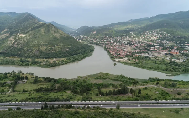
Plan a realistic Mtskheta day trip from Tbilisi, combining the central churches with a separately arranged Jvari visit and time for lunch.
GeographyPin
Plan a realistic Mtskheta day trip from Tbilisi, combining the central churches with a separately arranged Jvari visit and time for lunch.
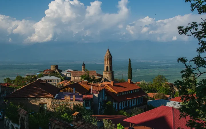
Choose a Kakheti base, arrange wine visits and transport, and plan a realistic route through Sighnaghi, Bodbe, Telavi and the Alazani Valley.
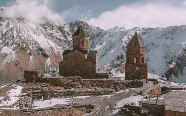
Plan a Kazbegi trip from Stepantsminda: Gergeti Church, Juta or Truso, transport, where to stay, and a flexible itinerary with realistic mountain-access advice.
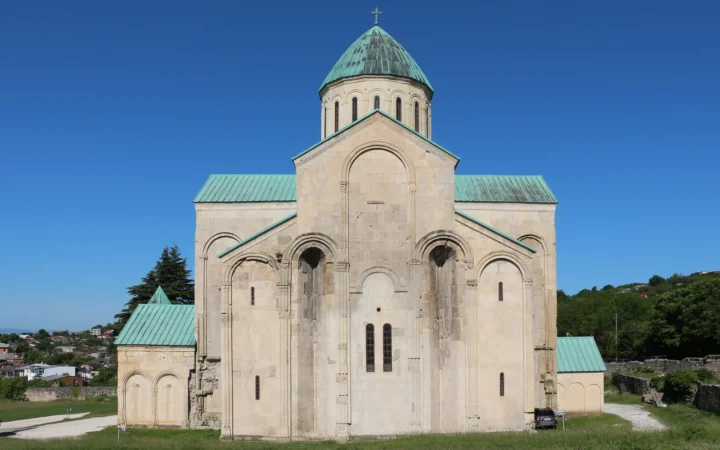
Plan a first visit to Kutaisi with practical airport advice, a city walking route, monastery access checks and a realistic choice of cave or canyon excursions.
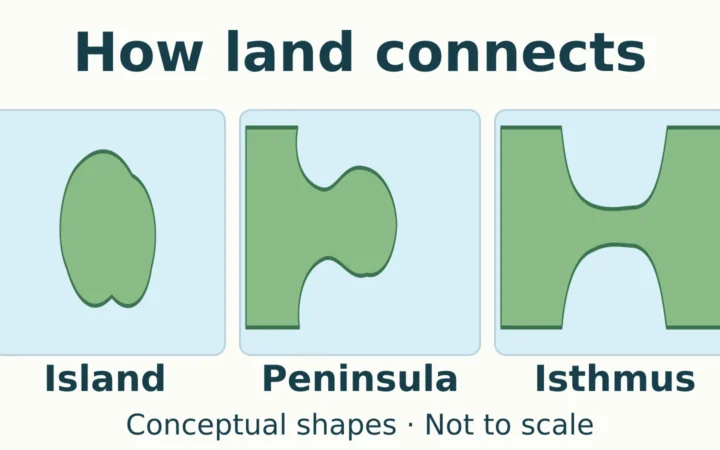
Follow the land connection to distinguish an island, peninsula, and isthmus, then check the differences between an isthmus and a strait, canal-cut landforms, and tidal islands.
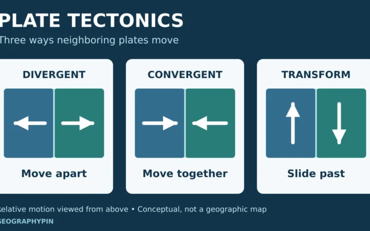
Tectonic plates include crust and rigid mantle. Compare three boundary types, understand subduction and collision, and see what drives and measures plate motion.
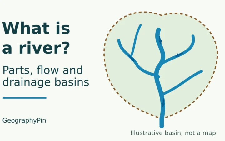
Trace how river channels connect with their drainage basins, identify tributaries and divides, and follow a clear original diagram from upstream branches to a chosen outlet.
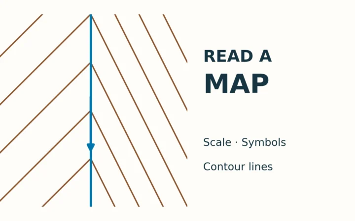
Read a map’s legend, north reference, scale and contours together, then test the method on an original fictional valley with checked answers.
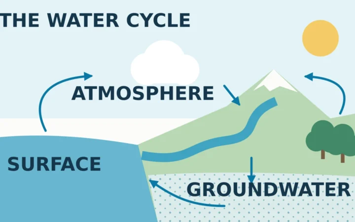
Follow the water cycle through air, surface water, soil, plants and groundwater, using a clear diagram of interconnected pathways rather than a fixed sequence.
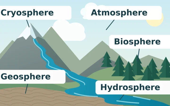
Physical geography connects landforms, water, climate, soils, ice and life. A branch-by-branch guide and mountain catchment example show how those systems work together.