This Antarctica geography quiz tests your knowledge of the continent’s mountains, surrounding seas, ice, wildlife and polar seasons. Answer 20 multiple-choice questions, get an explanation after each answer, and finish with a score out of 20.
Start with one distinction: Antarctica is a continent around the South Pole, while the Arctic is an ocean-centered region around the North Pole. The questions cover the Antarctic continent and its surrounding seas. There is no timer.
Test your mental map of Antarctica
20 questions · No timer · One point per correct answer
Easy, Medium and Hard are relative editorial difficulty levels for general geography learners, not standardized ratings. Every correct answer earns one point.
Choose an answer, then open “Show answer” to check it yourself. Interactive scoring appears when JavaScript is available.
Choose one answer, select Check answer, then continue to the next question.
Your Antarctica quiz result
Easy
Show answer
Correct answer: South Pole.
The geographic South Pole lies on Antarctica’s ice-covered land. The geographic North Pole is in the Arctic Ocean.
Easy
Show answer
Correct answer: Southern Ocean.
The Southern Ocean surrounds Antarctica and connects with the Atlantic, Indian and Pacific oceans.
Easy
Show answer
Correct answer: Snow accumulates and is compressed over time.
Layers of snowfall become buried and compressed into solid ice. This land-based process differs from seawater freezing into sea ice.
Medium
Show answer
Correct answer: Transantarctic Mountains.
The Transantarctic Mountains form a major physical divide between East Antarctica and West Antarctica.
Easy
Show answer
Correct answer: Seawater freezes at the ocean surface.
Sea ice forms when ocean water freezes. It is different from glacier ice that formed on land.
Medium
Show answer
Correct answer: South America.
The Antarctic Peninsula projects toward southern South America.
Easy
Show answer
Correct answer: Polar bears.
Polar bears are Arctic animals. Penguins, seals and Antarctic krill occur in Antarctica or the surrounding marine environment.
Hard
Show answer
Correct answer: Weddell Sea.
The Weddell Sea lies east of the Antarctic Peninsula; the Bellingshausen Sea is on its western side.
Medium
Show answer
Correct answer: A floating extension of land ice still attached to the coast.
An ice shelf extends from land ice out over the ocean while remaining attached. It is not the same as seasonal sea ice.
Easy
Show answer
Correct answer: It receives very little precipitation.
The interior receives very little precipitation. A desert can be cold and ice-covered; it does not have to be hot or sandy.
Hard
Show answer
Correct answer: Ross Island.
Mount Erebus is a volcano on Ross Island.
Medium
Show answer
Correct answer: The Sun remains above the horizon all day.
December is midsummer in Antarctica. At the South Pole, it falls within a period of continuous daylight.
Medium
Show answer
Correct answer: Drake Passage.
The Drake Passage separates southern South America from the Antarctic Peninsula region.
Easy
Show answer
Correct answer: It lies beneath the Antarctic ice sheet.
Lake Vostok lies beneath the ice in East Antarctica. “Subglacial” means beneath a glacier or ice sheet.
Medium
Show answer
Correct answer: Gravity acting on cold, dense air.
Katabatic winds flow downhill under gravity, carrying cold air from higher ground toward lower elevations.
Easy
Show answer
Correct answer: Valleys with extensive exposed ground, alongside glaciers and lakes.
The McMurdo Dry Valleys have extensive exposed terrain. Glaciers, lakes and summer meltwater streams can still be present, so “dry” does not mean completely without water or ice.
Medium
Show answer
Correct answer: Small crustaceans.
Krill are small crustaceans. Many Antarctic marine animals depend on them directly or through other prey.
Hard
Show answer
Correct answer: West to east.
The Antarctic Circumpolar Current flows from west to east around Antarctica.
Easy
Show answer
Correct answer: Reflects a larger share back upward.
Bright snow-covered ice reflects more incoming sunlight than dark ocean water. This helps explain why ice cover matters to climate.
Hard
Show answer
Correct answer: 60° south.
Article VI specifies the area south of 60° south latitude, including ice shelves. This coverage extends beyond the continent itself and does not define a national border.
Separate the continent, the ocean and the ice
Each correct answer earns one point, with no penalty for a wrong answer. At the end, select Review answers to see every question and explanation, or Try again to replay the same set. The quiz does not save your score between visits.
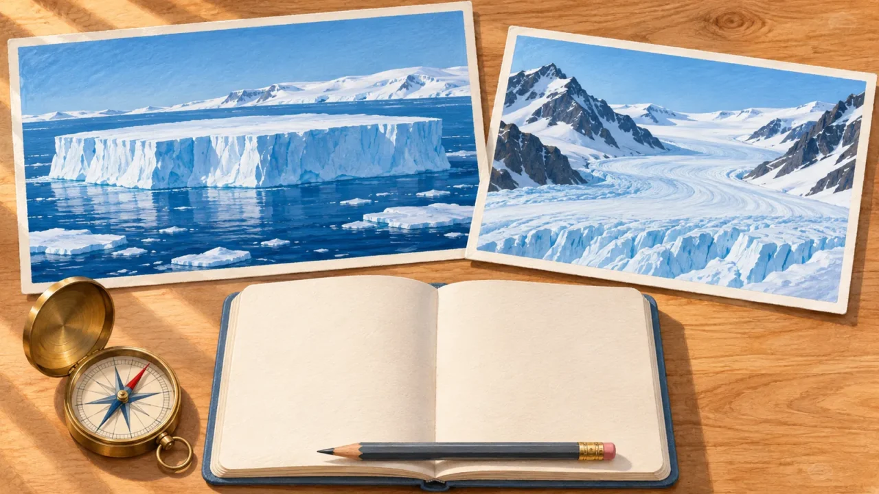
- For ice: distinguish accumulated land snow, frozen seawater and floating extensions of glaciers. An ice sheet, sea ice and an ice shelf are different things.
- For locations: use the Antarctic Peninsula as a starting point. It points toward South America, with the Weddell Sea on its eastern side.
- For climate: connect low precipitation with the polar desert and the December solstice with continuous daylight at the South Pole. Cold does not mean constant darkness.
For a wider challenge, try the world geography quiz. To practice country-name recall on a map, play the countries of the world quiz.
What Did We Learn Today?
Antarctica is land surrounded by ocean, not a floating cap of sea ice. Snow builds the continental ice sheet, seawater forms sea ice, and ice shelves extend from land into the ocean. The peninsula, mountains and seas give the map its shape, while low precipitation, polar daylight and the Southern Ocean food web explain how this environment works.
Sources & Data Notes
Questions focus on stable geographic relationships and scientific definitions, not changing ice records, population totals or disputed sovereignty claims. Antarctica means the continent; some questions also cover its surrounding marine environment. The South Pole question refers to the geographic pole. The daylight question specifies the December solstice at that pole, not the entire continent. The Treaty question uses Article VI’s stated area south of 60°S, which includes ocean and is not a national border. Sea ice, land ice and ice shelves are kept distinct.
- NASA: Which Pole Is Colder?; East and West: The Geography of Antarctica.
- Australian Antarctic Program: Antarctic geography; Sunlight hours in Antarctica; Tourism: frequently asked questions; Antarctic weather; Antarctic krill; Antarctic food web; Past climate.
- German Environment Agency (Umweltbundesamt): The geography of the Antarctic.
- National Snow and Ice Data Center: Sea Ice: Quick Facts; Sea Ice.
- European Space Agency: Earth from Space: Antarctic Peninsula.
- NOAA National Ocean Service: What is the cryosphere?.
- Norwegian Polar Institute: Climate in Antarctica.
- Smithsonian Institution Global Volcanism Program: Erebus.
- U.S. Geological Survey: Ice cover, landscape setting, and geological framework of Lake Vostok, East Antarctica.
- NASA Earth Observatory: McMurdo Dry Valleys.
- NOAA Global Monitoring Laboratory: The Antarctic Treaty (1959).