Free geography quiz
Choose your geography challenge
Test your world geography, from easy to expert. Choose 10, 20 or 50 multiple-choice questions and learn from each answer.
Quiz complete
Your geography result
Review the questions you missed
Play, check, learn
World geography quiz: how to play
Explore countries, capitals, continents, map skills and more with a free geography quiz drawn from 1,200 questions. Play a mixed round or focus on one topic, then use the explanations to understand each answer.
Start with a quick geography test
Choose your style, topic and difficulty, then select Start quiz. Answer each multiple-choice question and select Check answer to see the explanation before moving on.
Pick 10 questions for a quick game, 20 for a longer practice session or 50 for a full challenge.
Choose a geography topic
Mixed Geography gives you a varied geography trivia round. For focused practice, choose countries and capitals, physical geography, US geography or another subject below.
- Mixed Geography
- A varied mix of places, people and physical geography.
- World & Regions
- Continents, oceans, world regions and where places are located.
- Countries & Capitals
- Capital cities, country borders, neighbours and landlocked countries.
- Maps & Locations
- Directions, coordinates, scale, map projections and map-reading skills.
- Physical Geography
- Rivers, mountains, oceans and the processes that shape Earth.
- Human Geography
- Population, migration, culture, settlements and economic activity.
- Climate & Environment
- Weather, climate patterns, ecosystems and environmental change.
- Cities & Built World
- Cities, urban growth, buildings and the roles of capital cities.
- United States
- US states, regions, cities and natural landscapes.
- Academic Geography
- Geographical theories, research methods and university-level concepts.
Easy geography questions or an expert challenge?
Start with Foundation or Beginner for more approachable questions. Try Intermediate when you want a step up, or Advanced and Expert for a tougher challenge.
Quick & Fun suits casual play. Kids offers simpler language, Student supports school practice, Academic explores geographical concepts, and Expert Challenge is for players who want to stretch their knowledge. You can adjust the topic and level for any style.
The topic stays fixed throughout your round. A long or narrowly focused quiz may include nearby difficulty levels so that a question does not repeat within the round.
Geography quiz answers and explanations
After you check an answer, read the correct response and its short explanation. At the end, see your score, percentage and results by topic. Review or retry missed questions, try a new mix, or move to a harder level.
Can you play without a timer?
Yes. Leave Timed challenge off to play at your own pace. When enabled, one timer covers the whole round: five minutes for 10 questions, ten minutes for 20 or 25 minutes for 50.
More geography quizzes
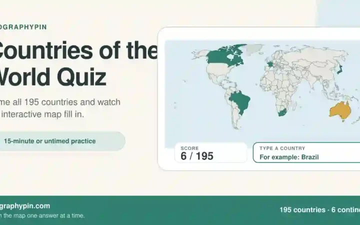
Name all 195 countries in a world-map challenge, or try 28 hard geography trivia questions for a question-and-answer round you can read or host.
References & Data Notes
Each question includes an explanation, a reference and a review date. The sources below relate to your current round. Some links lead to a dataset or an organisation's main website rather than a page supporting the individual answer.
- Natural Earth — Public-domain map context, country geometry and generalized boundaries.
- world-countries 5.1.0 dataset — Country names, capitals and land borders from the world-countries dataset, licensed under ODbL 1.0.
- U.S. Geological Survey — Physical geography, landforms, water, earthquakes, volcanoes and elevation references.
- National Oceanic and Atmospheric Administration — Oceans, atmosphere, climate and weather references.
- World Bank Data — Development, population, settlement and economic geography concepts.
- UN-Habitat — Cities, urbanization, settlements and sustainable urban development.
- NASA Earth Science — Earth systems, climate, remote sensing and planetary-scale geography.
Question bank release review date: 2026-08-01. Please report a questionable answer to the site editor.