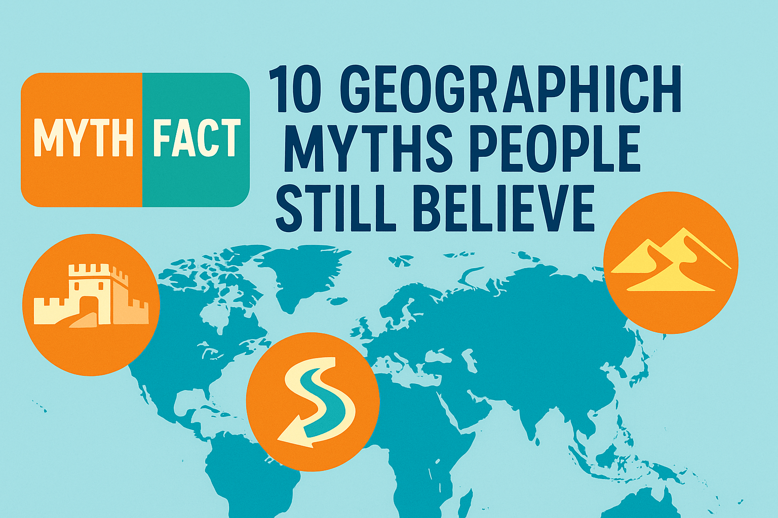
This guide debunks ten common misconceptions about Earth—like which desert is largest, which river is longest, whether the Great Wall is visible from space, and why seasons happen—using current, authoritative sources. Expect precise numbers (miles and kilometers), simple explanations, and quick comparisons you can trust.
Why Geographic Myths Stick—and How We Judge Facts
Geographic myths stick because they are tidy stories: a single largest, the hottest line, a wall seen from space. Real geography is messier. Definitions matter (What counts as a “desert”? How do you measure a river?), and scientific methods evolve (better satellites, new field surveys). In this article I align each claim with a defensible definition, cite reputable primary sources (NASA, NOAA, USGS, Britannica, National Geographic, CIA World Factbook, GNS Science), and give numbers in both imperial and metric units the first time they appear.
Another reason myths linger is that many are “almost true” under a different metric. Everest, for example, is highest above sea level at 29,031.7 feet (8,848.86 meters) as confirmed in 2020; but “tallest from base” or “farthest from Earth’s center” produce different winners. Throughout, I point out where definitions diverge so you can see why good people disagree—and where the evidence is settled.
Deserts & Climate Myths
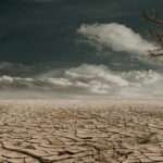
Myth #1 — “The Sahara is the largest desert”
By area, the world’s largest desert is Antarctica—about 5.5 million square miles (≈14.2 million km²). The Arctic is second, and the Sahara is third at roughly 3.6 million square miles (≈9.2 million km²). Desert means “very low precipitation,” not “lots of sand,” so cold deserts count too. This definition is standard in encyclopedias and physical geography texts.
Why the confusion? Photos of dunes bias us toward hot deserts, and school maps often color ice sheets differently from “deserts.” But when we compare by precipitation-based definitions, Antarctica is clearly #1.
Myth #2 — “The Equator is the hottest place on Earth”
Not quite. The wet, cloudy belt around the Equator (the Intertropical Convergence Zone) keeps many equatorial areas cooler than nearby subtropical deserts. Satellite records show the planet’s hottest land-surface spots occur around 20°–30° latitude, such as Iran’s Lut Desert, which reached land-surface temperatures as high as 177.4°F (80.8°C) in analyses of 2002–2019 data. Air-temperature records also favor subtropical deserts like Death Valley. For a deep dive into measured extremes, see NASA’s Earth Observatory feature on the Lut Desert.
Myth #3 — “Seasons happen because Earth is closer to the Sun in summer”
Seasons are caused by Earth’s axial tilt (≈23.4°), not by distance. In fact, the Northern Hemisphere’s winter happens when Earth is closest to the Sun (perihelion, early January), and summer when it’s farthest (aphelion, early July). The perihelion–aphelion difference is about 3.1 million miles (≈5 million km). Tilt changes sunlight angle and day length—those dominate our seasons.
| Metric | Value / Note |
|---|---|
| Largest desert | Antarctica ≈ 5.5 million sq mi (≈14.2 million km²) |
| Sahara area | ≈ 3.6 million sq mi (≈9.2 million km²) |
| Hottest land surface observed | Lut/Sonoran deserts up to ≈177.4°F (80.8°C) in satellite records |
| Perihelion vs. aphelion | ≈3.1 million miles (≈5 million km) difference |
Oceans, Rivers & Seas Myths
Myth #4 — “The Nile is unquestionably the longest river”
Most references list the Nile at about 4,132 miles (≈6,650 km). The Amazon is typically given near 3,977–4,345 miles (≈6,400–6,992 km), depending on the selected source and tributary. Some research—using different headwaters and newer measurements—argues the Amazon may be slightly longer. Why the debate? River lengths vary with methods: which tributary counts as the true source, how meanders shift, and how seasonal channels connect. The safe takeaway: Nile is often cited as longest by traditional metrics; Amazon is the largest by discharge and may edge it in some modern surveys.
Myth #5 — “The Bermuda Triangle is uniquely dangerous”
There’s no official “Triangle,” and no evidence of unusual disappearance rates compared with other busy sea lanes. The U.S. Navy, U.S. Coast Guard, and NOAA attribute incidents to weather, currents, heavy traffic, and human error. Insurance and safety data don’t show elevated risk. Fascinating stories? Absolutely. But extraordinary hazards? Not according to the agencies that patrol those waters.
Mountains, Space & Landform Myths
Myth #6 — “Mount Everest is the tallest mountain in every sense”
Everest is the highest above sea level at 29,031.7 ft (8,848.86 m), a figure jointly announced by Nepal and China in 2020. But “tallest from base” is Mauna Kea in Hawaiʻi—about 33,500 ft (≈10,210 m) from its seafloor base to summit, though only 13,803 ft (4,207 m) rises above sea level. And the point farthest from Earth’s center isn’t Everest but Ecuador’s Chimborazo, thanks to our planet’s equatorial bulge. Different yardsticks, different champions.
Myth #7 — “You can see the Great Wall of China from space with the naked eye”
Astronauts in low-Earth orbit can spot many human features, especially cities at night, airports, and highways. The Great Wall, however, is narrow, built of materials that blend with the landscape, and generally not visible to the unaided eye from space except under rare, ideal conditions (lighting, snow). NASA astronauts themselves have debunked this popular claim many times.
Maps, Countries & Continents Myths
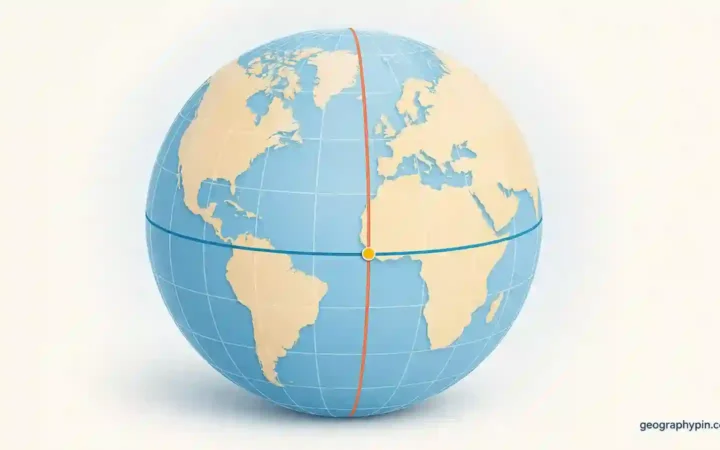
Myth #8 — “There are exactly seven continents—full stop”
Seven is common in English-language schools, but other models exist. Many geographers use a six-continent model (Eurasia counted as one). Meanwhile, geologists have strong evidence for an eighth, mostly submerged continent—Zealandia—≈1.9 million square miles (≈4.9 million km²), about 95% underwater, comprehensively mapped in 2023. The “right” count depends on whether you prioritize culture/history (seven) or crustal geology (six or “seven + Zealandia”). Both frameworks are used in serious scholarship.
Myth #9 — “Every country has one official capital city”
Not always. South Africa has three capitals (administrative Pretoria, legislative Cape Town, judicial Bloemfontein). Bolivia’s constitutional capital is Sucre, while La Paz hosts the executive and legislature. The Netherlands’ constitutional capital is Amsterdam, but The Hague is the government’s seat. Nauru has no official capital; most government offices are in Yaren District. Textbooks often simplify this, but constitutions and government sites tell the fuller story.
Myth #10 — “The Coriolis effect makes toilets spin a certain way”
Coriolis explains large-scale patterns (trade winds, hurricanes), not your bathroom sink. Household basins are too small and drain too quickly for Coriolis to dominate; plumbing shape and initial water motion decide the swirl. Experiments in very controlled tanks can show Coriolis, but your home fixtures won’t.
Myth vs. Fact at a Glance
| Myth | Reality (with first-use units) | Authoritative Source |
|---|---|---|
| Sahara is largest desert | Antarctica ≈14.2M km² (≈5.5M sq mi); Sahara ≈9.2M km² | Britannica; National Geographic |
| Equator is hottest | Subtropical deserts are hottest; Lut Desert up to 80.8°C (177.4°F) LST | NASA Earth Observatory |
| Seasons from Sun–Earth distance | Seasons from axial tilt (≈23.4°); distance shift ≈5M km (≈3.1M mi) | NOAA |
| Nile unquestionably longest | Nile ≈6,650 km; Amazon ≈6,400–6,992 km depending on method | Britannica; research surveys |
| Bermuda Triangle is uniquely dangerous | No official Triangle; no unusual risk versus busy sea lanes | NOAA/USCG |
| Everest tallest in every sense | Highest above sea level: Everest; Tallest base-to-peak: Mauna Kea; Farthest from Earth’s center: Chimborazo | NatGeo; USGS |
| Great Wall is visible from space unaided | Generally no; rare/ideal cases only | NASA |
| There are exactly seven continents | Models vary (six or seven); Zealandia mapped, ≈4.9M km², ~95% submerged | NatGeo; GNS Science |
| Every country has one capital | Multiple capitals or none officially (e.g., South Africa; Nauru) | Gov.za; CIA World Factbook |
| Coriolis decides toilet swirl | Household basins too small; plumbing & initial motion dominate | Library of Congress; NOAA |
FAQ
Is Antarctica really a “desert” if it’s covered in ice?
Yes. In climatology, deserts are defined by low precipitation, not temperature or sand. Antarctica receives very little moisture—qualifying it as an arid (cold) desert.
Which river should I call the “longest” in 2025?
If your standard is traditional encyclopedic measurements, Nile remains common. If you accept newer headwater selections and mapping, some studies argue Amazon is longer. It’s fair to note the ongoing debate and cite your method.
Can astronauts see any human structures without aids?
Yes—large airports, cities at night, major roads, and long runways are visible. The Great Wall usually blends with terrain; it’s rarely seen without optics under special lighting or snow.
Why do toilets in videos sometimes show opposite spins?
Because plumbing geometry and how water enters the bowl dominate. Coriolis only becomes obvious on large scales (hurricanes, trade winds) or in very controlled lab tanks over long times.
What Did We Learn Today?
- Largest desert: Antarctica ≈14.2M km² (≈5.5M sq mi), not the Sahara.
- Hottest zones cluster in subtropical deserts; Lut Desert hit up to ≈80.8°C (177.4°F) land-surface temps.
- Seasons come from axial tilt, not distance; Earth is closest to the Sun in early January.
- “Tallest” mountains depend on the metric: sea level, base-to-peak, or distance from Earth’s center.
- Several “obvious facts” (Great Wall visibility, Bermuda Triangle danger, seven continents) are oversimplifications.