Quick Answer
Which is the third‑smallest country? Nauru, spanning just 8 sq mi (21 km²), ranks third by land area, after Vatican City and Monaco.
Introducing Nauru
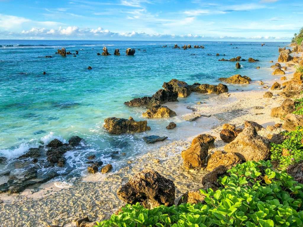
Nestled south of the equator in the central Pacific, Nauru is the world’s smallest island republic and the third‑smallest country overall. Covering only 8 sq mi (21 km²), this raised coral atoll sits at 0°31′41″S 166°56′13″E, about 1,300 miles northeast of Australia.
Despite its modest footprint, Nauru commands outsized interest. A unitary parliamentary republic since independence in 1968, it lacks a formal capital; government offices and Parliament House lie in the Yaren District. Both English and Nauruan serve as official languages. Once underpinned by phosphate wealth, Nauru now balances environmental restoration and economic diversification against the legacy of its mineral‑driven boom.
Size & Population Snapshot
| Country | Area (sq mi / km²) | Population | Density (per sq mi / per km²) | Ranking |
|---|---|---|---|---|
| Vatican City | 0.19 / 0.49 | 882 (2024) | 4,021 / 1,559 | 1st |
| Monaco | 0.80 / 2.08 | 38,423 (2024) | 47,775 / 18,446 | 2nd |
| Nauru | 8.0 / 21 | 12,012 (2025) | 1,547 / 597 | 3rd |
Why It’s So Small
Nauru’s size stems from its geological formation as a raised coral atoll and its colonial history. Defined under a League of Nations mandate after WWI and confirmed at independence in 1968, its 21 km² footprint has never expanded. Extensive phosphate mining carved deep interior pits but could not increase land area. With no hinterlands or reclamation, Nauru remains locked to its original boundaries.
Life and Culture in Nauru
Economy & Environment
- Phosphate legacy: Mining funded a mid‑century boom but exhausted reserves by the 1990s. Today revenue relies on fishing‑licence sales and hosting Australia’s Regional Processing Centre.
- Environmental impact: Strip mining removed vegetation from ~80% of the interior, forcing most food imports and ongoing restoration efforts.
Landmarks & Travel Tips
- Command Ridge: Hike to the highest point for panoramic reef and lagoon views.
- Moqua Caves & Well: Explore limestone caverns and freshwater springs once vital to local life.
- Anibare Bay: Swim or snorkel along this sandy eastern coastline.
- Ring Road drive: Circle the 19 km perimeter in under an hour to sample villages and markets.
- Plan ahead: Limited lodging and high costs—book accommodation and supplies well before arrival.
FAQ
How many square miles is Nauru?
Nauru spans just 8 sq mi (21 km²), making it the third‑smallest country by area.
What is Nauru’s population?
As of April 30, 2025, Nauru’s population is approximately 12,012 residents.
Does Nauru have a capital?
There is no official capital; government offices, including Parliament House, are in the Yaren District.
Why is Nauru so small?
Its fixed atoll boundaries and colonial mandates left no room for expansion, preserving its original 21 km² footprint.
Is Nauru a good place to visit?
Off‑the‑beaten‑path attractions like Command Ridge and Moqua Caves await intrepid travelers, but plan for limited infrastructure and higher costs.
What Did We Learn Today?
- Nauru is the third‑smallest state at just 8 sq mi.
- Its boundaries reflect natural atoll formation and colonial treaties.
- Phosphate mining drove wealth but left significant environmental scars.
- Unique microtourism includes Command Ridge and Moqua Caves.
- Authoritative stats from Wikipedia, Worldometer, and CIA Factbook ensure accuracy.