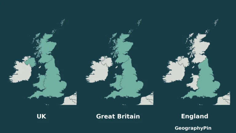
England · Countries & regions
UK vs Great Britain vs England: Differences and Map
These names overlap, but they do not describe the same area. The easiest way to avoid mixing them up is to ask what kind…
Read articleFollow an interest
Explore countries, territories and administrative regions through maps and guides.
England · Countries & regions
These names overlap, but they do not describe the same area. The easiest way to avoid mixing them up is to ask what kind…
Read article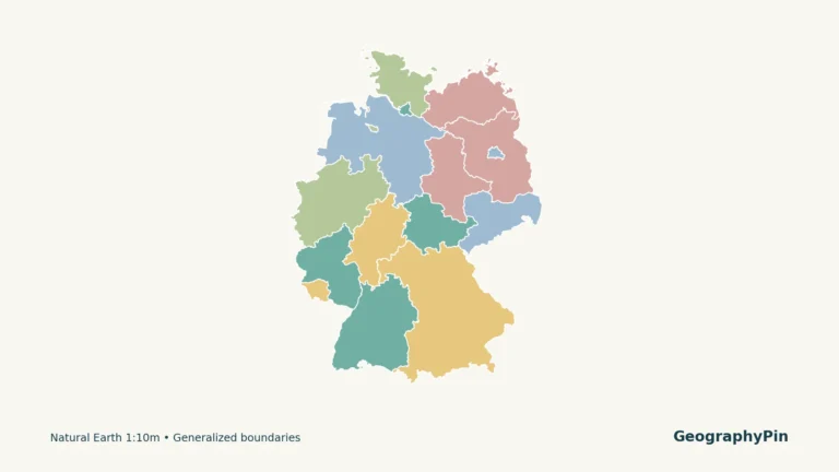
Germany · Cities & capitals
Germany’s national capital is Berlin, but a map of its federal states introduces fifteen other state names and a separate set of capital-city pairs.…
Read article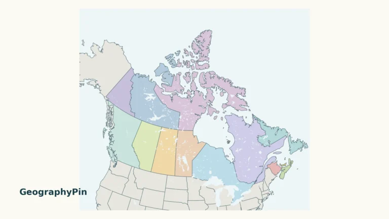
Canada · Countries & regions
A map of Canada needs room for both the Arctic islands and the small Atlantic provinces. This guide pairs a national overview with a…
Read article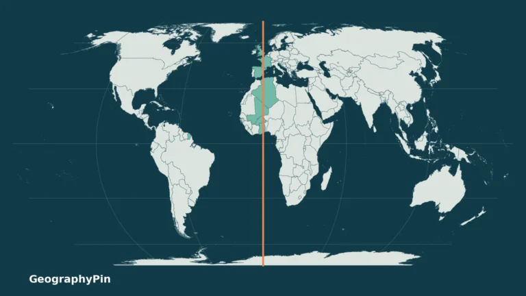
Countries & regions
The Prime Meridian is easy to draw as a straight line on a world map. Following it across real coastlines and borders is more…
Read article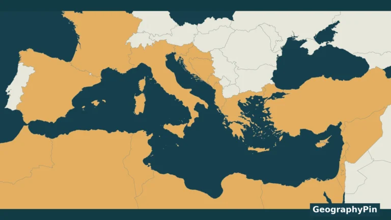
Palestine · Borders
Twenty-two countries border the Mediterranean Sea under the convention used here: 21 United Nations member states plus the State of Palestine, whose Mediterranean coast…
Read article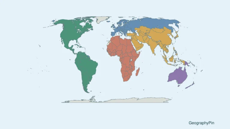
Countries & regions
A useful world map should help you find a country, not make you decipher hundreds of tiny names. This reference pairs a whole-world overview…
Read article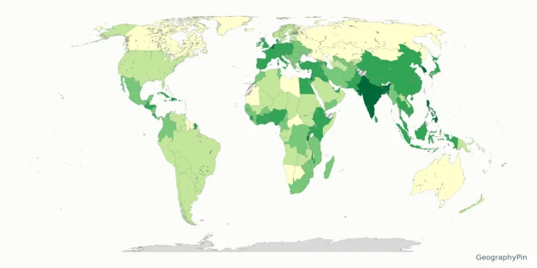
Population
Population density maps are useful only when the year, denominator and coverage are clear. This resource makes those details visible alongside the colors.
Read article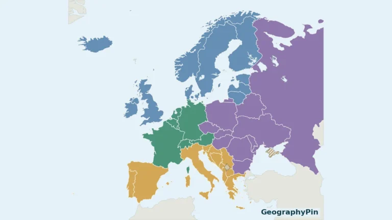
Countries & regions
A Europe map has two separate problems: fitting the small countries into a readable picture and explaining which countries its list includes. This atlas…
Read article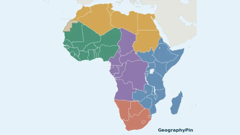
Countries & regions
A single Africa map can become unreadable when every small country and island is squeezed into one image. This atlas uses a continent overview…
Read article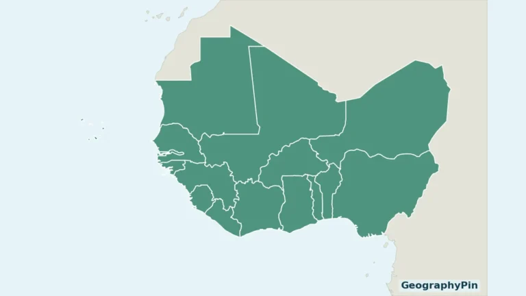
Countries & regions
West Africa contains both a long Atlantic coastline and countries far inland. A useful regional map must also show Cabo Verde rather than treating…
Read article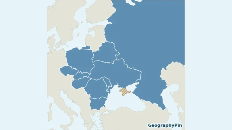
Countries & regions
An Eastern Europe list is only useful when its boundaries are explained. This map uses the United Nations statistical grouping, so you can match…
Read article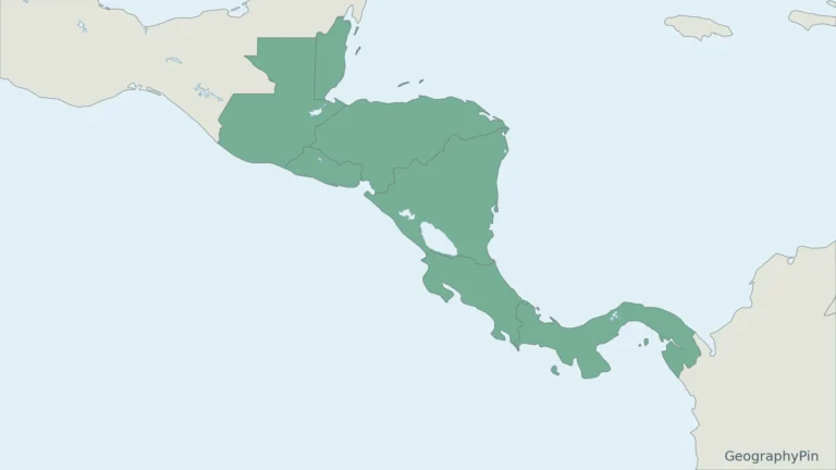
Cities & capitals
Central America has a familiar seven-country list, but statistical sources can show eight. The paired maps make that difference visible before you compare the…
Read article