Countries & regions
Basque Country: Map, Regions and Political Status
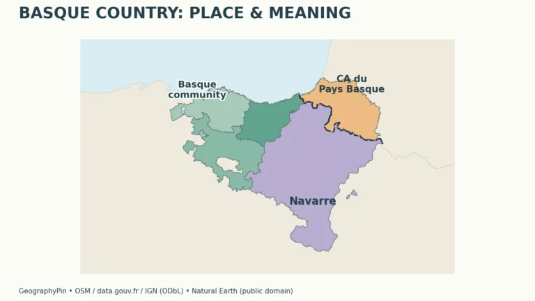
A map labeled “Basque Country” may show three territories, seven historical territories or a French intermunicipal area. The first task is not choosing which…
Read articleFollow an interest
Explore countries, territories and administrative regions through maps and guides.
Countries & regions
A map labeled “Basque Country” may show three territories, seven historical territories or a French intermunicipal area. The first task is not choosing which…
Read article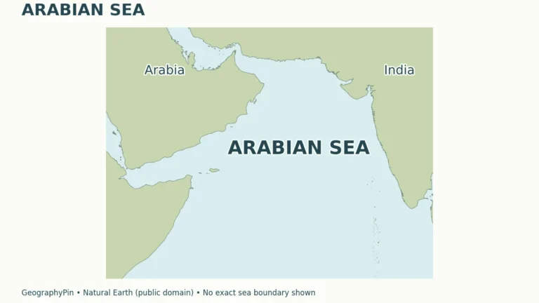
Seas & oceans
Summer winds can bring cooler water to parts of a tropical coast rather than simply warming the sea. In the Arabian Sea, that seasonal…
Read article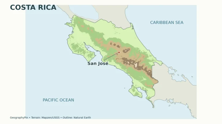
Costa Rica · Countries & regions
Costa Rica is a Central American country between Nicaragua and Panama, bordered by the Pacific Ocean and Caribbean Sea. Its geography combines volcanic ranges,…
Read article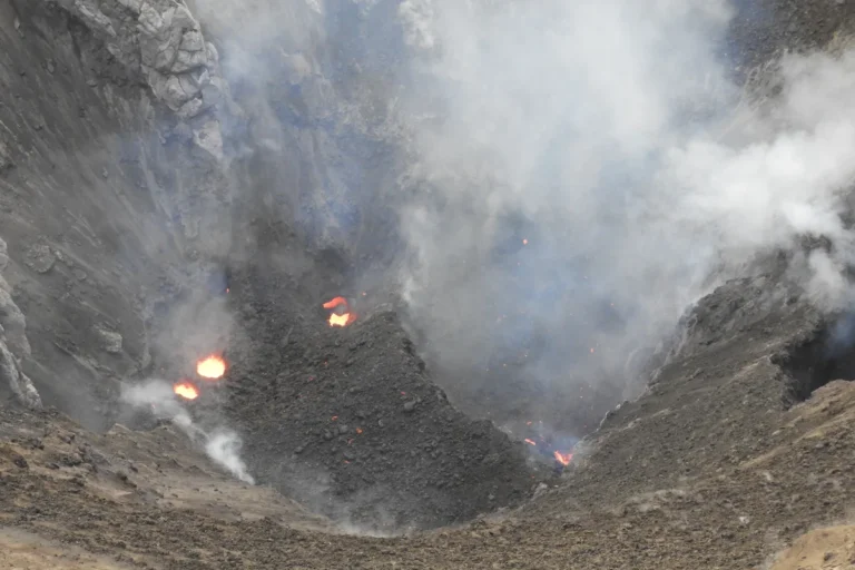
Vanuatu · Countries & regions
A map of Vanuatu is not a map of one large island surrounded by a few smaller ones. The country extends along a chain…
Read article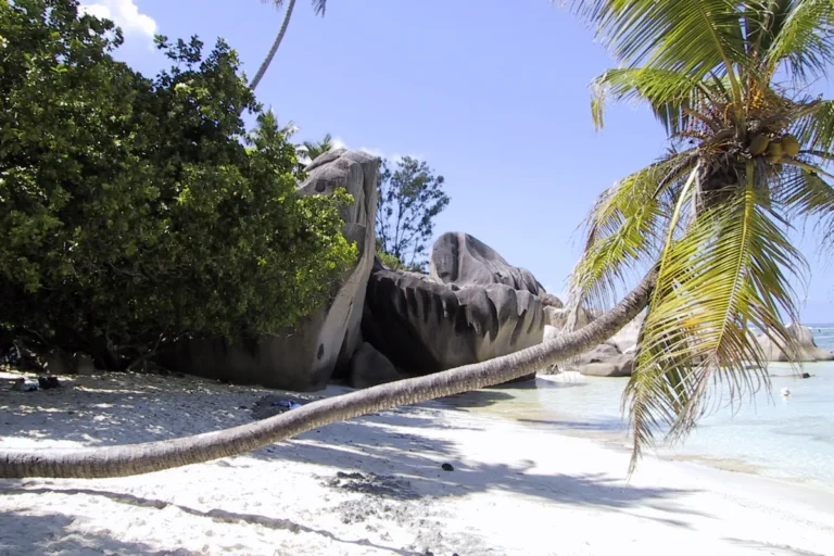
Seychelles · Countries & regions
The most useful way to understand Seychelles is to look beyond the beach. A mountainous granite island, a low coral cay and a raised…
Read article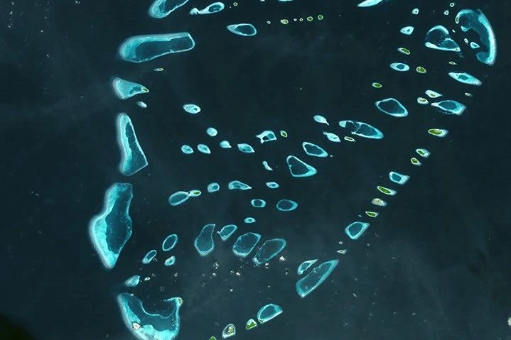
Maldives · Countries & regions
A resort photograph shows only one part of Maldivian geography. The more useful picture includes reef platforms, channels, lagoons, densely settled urban islands and…
Read article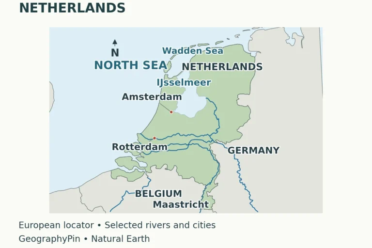
Netherlands · Countries & regions
A Dutch map is easier to understand when you separate three questions: where the land lies, how water moves across it, and which territory…
Read article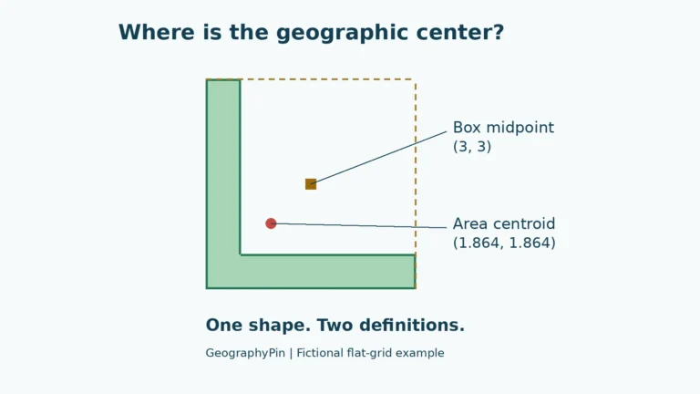
Countries & regions
A country's geographic center depends on what “center” means and which territory is included. One common method finds the area-weighted balance point of its…
Read article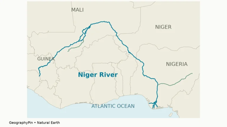
Niger River · Rivers
The Niger River’s route is easy to misread: it starts in Guinea, curves far into the West African interior, and reaches the Atlantic in…
Read article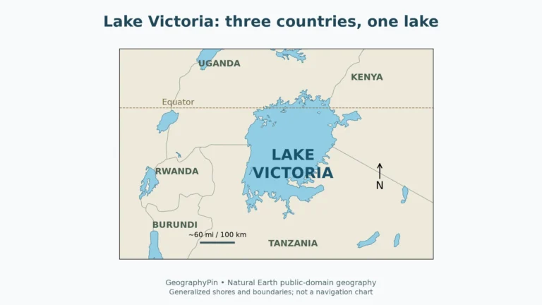
Lakes
Lake Victoria looks like a single blue shape on a map, but its geography involves three different scales: the lake shared by three countries,…
Read article
Rivers
The Congo River flows through Central Africa to the Atlantic Ocean. Its upper course is called the Lualaba; farther downstream it passes Kisangani, curves…
Read article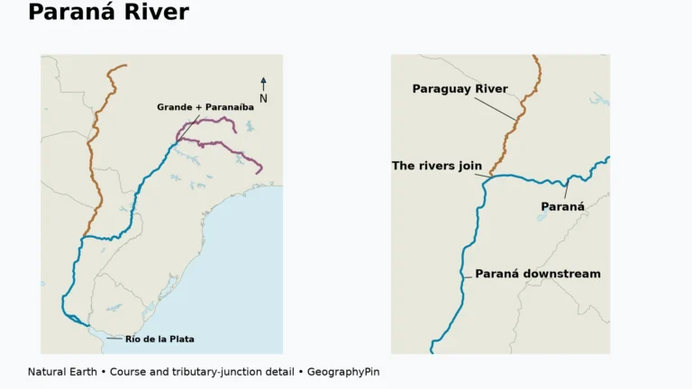
Argentina · Rivers
The Paraná River begins where the Grande and Paranaíba meet in Brazil. It follows stretches of Brazil–Paraguay and Paraguay–Argentina border before continuing through Argentina…
Read article