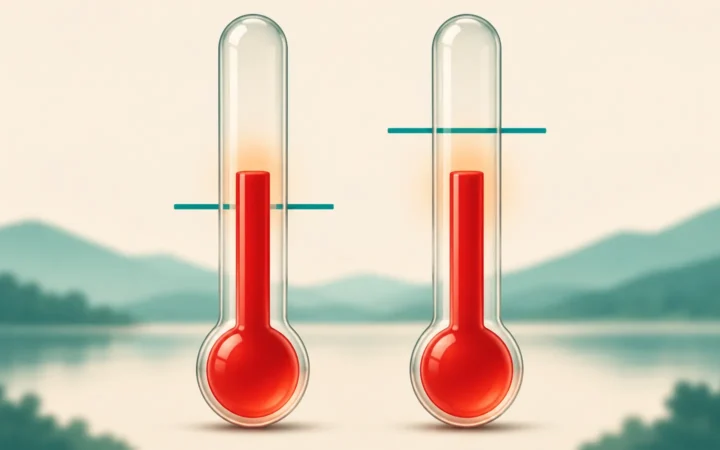
A mountain summit is often colder than the lowlands, but “higher means colder” has exceptions. To understand the pattern, separate two questions: what happens to air as it rises, and how temperature actually varies between different heights.
Temperature generally decreases with altitude in the troposphere because the surface supplies energy from below and rising air expands and cools as pressure falls. The actual temperature profile also depends on radiation, moisture and mixing. Inversions can reverse the local trend, and higher atmospheric layers do not follow the same rule.
Start here: Follow one rising parcel, compare the different lapse rates, or see when the trend reverses.
1. The Usual Pattern Is Not a Universal Rule
Start with the lower atmosphere
The familiar decrease occurs in the troposphere, the lowest atmospheric layer, where most weather takes place. The surface absorbs sunlight and transfers energy to the air above it. Vertical motion, radiation, moisture and mixing help establish the temperature structure. It is not simply a case of being farther from a warm patch of ground.
Air pressure also decreases upward. A parcel of air that rises into lower pressure expands, and that expansion can cool it. This process helps explain the vertical temperature pattern, but the temperature of one moving parcel is not necessarily the temperature of all the air around it.
That distinction matters on a mountain. The air at the summit is not automatically the same parcel that was at the trailhead, moved upward without mixing. Wind, clouds, time of day and the surrounding weather can change the comparison. Elevation is an important influence, not a complete forecast.
2. Why Rising Air Expands and Cools
Follow one parcel through changing pressure
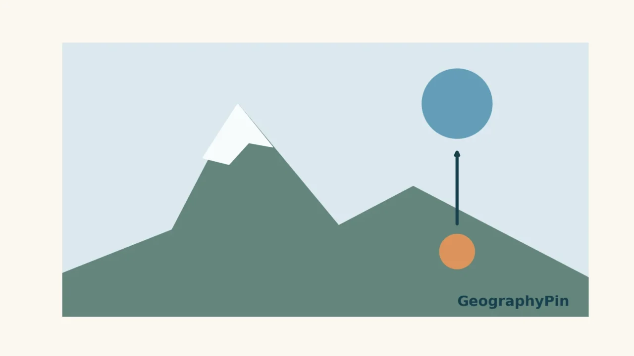
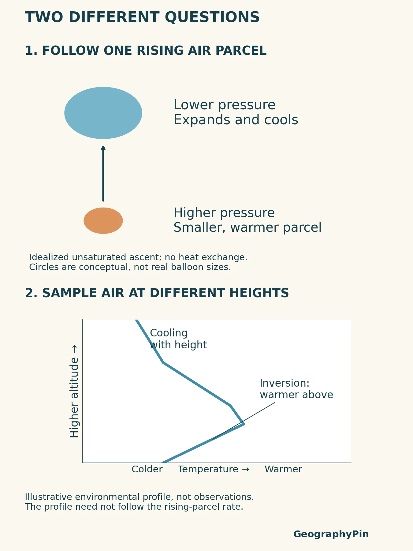
Imagine tracking a small volume of air as it rises. Meteorologists call this a parcel: a useful way to reason about a part of the atmosphere, not an actual bag enclosing it. As outside pressure falls, the parcel expands and does work on its surroundings. Its temperature falls in the idealized case where no heat is exchanged with the environment.
This is adiabatic cooling. Adiabatic does not mean the temperature stays constant; it means the temperature change is not caused by heat passing across the parcel’s boundary. Descending air experiences the reverse pressure change and can warm as it is compressed.
For unsaturated air under this idealization, the dry adiabatic cooling rate is about 5.4°F per 1,000 feet of ascent (9.8°C per kilometer). “Dry” here means unsaturated, not necessarily devoid of water vapor. This is a process rate for a moving parcel, not a rule to subtract from every mountain forecast.
If rising air becomes saturated and water vapor condenses, the released latent heat offsets some of the expansion cooling. The moist adiabatic rate therefore differs from the dry rate and varies with conditions; it is not one universal replacement number. Real rising air can also mix with its surroundings, further changing its temperature and moisture.
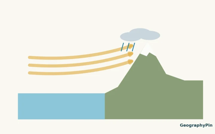
The same expansion-and-cooling process can contribute to clouds when air crosses mountains. Our rain-shadow guide explains why a long-term wet–dry contrast also requires evidence about winds, terrain and precipitation. Cooling alone does not specify how much rain falls.
3. Lapse Rates: Environment, Parcels and Reference
A measured profile, a process and a reference
A lapse rate describes how temperature changes with height. The label beside the rate tells you what is being compared. Confusing a measured atmosphere with a parcel calculation is the main reason familiar rules of thumb can be misused.
| Term | What it describes | What not to assume |
|---|---|---|
| Environmental lapse rate | The temperature profile of the surrounding atmosphere at a place and time | It need not be constant from one layer to the next |
| Dry adiabatic lapse rate | Temperature change of an idealized unsaturated parcel moving vertically without exchanging heat | It is not automatically the observed environmental gradient |
| Moist adiabatic lapse rate | A saturated parcel’s temperature change with condensation effects included | It is not a single fixed value for all conditions |
| Standard reference lapse rate | An idealized background profile used for comparison | It is not a measurement or a forecast for today’s mountain |
A common standard tropospheric reference is about 3.6°F of cooling per 1,000 feet (6.5°C per kilometer). UCAR presents this as the standard average lapse rate. It is useful for understanding a broad tendency, but the real environment can cool faster, cool more slowly, remain nearly constant, or become warmer with height in a particular layer.
These rates answer different questions. “How does this parcel change as it rises?” is not the same as “What temperature would an instrument measure at each altitude now?” Nor does an idealized reference profile settle either question for a particular weather event.
4. When Higher Air Is Warmer
Inversions and the stratosphere
A temperature inversion is a layer in which temperature increases with height. The National Weather Service describes nighttime surface cooling as one way an inversion can develop: air close to the cooling ground becomes colder than the air above it. Other weather arrangements can also put warmer air over colder air.
An inversion does not mean pressure has started increasing upward. The temperature and pressure profiles are different quantities. Nor does it mean the entire troposphere has reversed its usual behavior. A shallow warm-over-cold layer can sit below another layer in which temperature falls with height, as in the illustration.
The broader atmosphere also contains layers with different temperature trends. In the stratosphere, above the troposphere, ozone absorbs incoming ultraviolet radiation and helps produce warming with height. Applying a tropospheric cooling rate all the way upward would therefore give the wrong picture.
For practical interpretation, check the layer, location and time before applying any altitude rule. Use forecasts or observations appropriate to the elevation of interest rather than treating a sea-level temperature and one lapse rate as a reliable summit forecast. A general tendency belongs to the background explanation; actual conditions are a weather question, as our weather-versus-climate comparison explains.
Frequently Asked Questions
Does lower pressure always mean lower temperature?
No. Rising air can cool as it expands into lower pressure, but that parcel process does not make every low-pressure location colder than every high-pressure location. The actual temperature also depends on the air’s history and exchanges of energy.
Is the dry adiabatic rate the same as the standard lapse rate?
No. The first describes an idealized unsaturated moving parcel. The standard reference is an assumed background temperature profile. Neither should be confused with a measured environmental profile.
Can a valley be colder than air above it?
Yes. In an inversion, colder air is below warmer air. Nighttime cooling near the surface is one mechanism, so a higher location is not guaranteed to be colder at every moment.
What Did We Learn Today?
Altitude cooling is a useful tropospheric pattern, not a universal law for every layer or location. Follow a moving parcel to understand expansion cooling; examine an environmental profile to learn what the surrounding air is actually doing. Keep both separate from a standard reference rate, and leave room for inversions and different atmospheric layers.
Sources & Data Notes
The quoted lapse rates are rounded educational reference values, not local observations. The original parcel illustration and environmental profile are conceptual; no height, temperature, parcel volume or current sounding is inferred from their geometry. The profile deliberately includes an inversion to distinguish the environment from a parcel calculation. No mountain forecast is generated.
- NWS glossary: Environmental Lapse Rate: observed temperature change with height.
- UCAR: The Troposphere: lower-atmosphere temperature and pressure trends.
- UCAR: What Is the Atmosphere?: surface heating of the troposphere.
- NOAA: How Clouds Form: expansion cooling, dry lapse rate and mixing.
- NOAA GFDL: The moist adiabat and tropical warming: expansion work and condensation offset.
- UCAR: Change in the Atmosphere with Altitude: standard reference rate.
- NWS: What is a temperature inversion?: warm-over-cold layers and nighttime cooling.
- UCAR: The Stratosphere: ozone absorption and different vertical temperature trend.