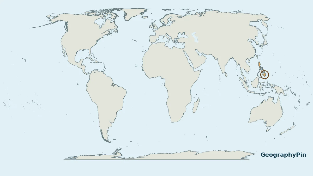
The Philippines is an island country in Southeast Asia. A world locator shows the broad setting; the close-up makes its island groups and surrounding seas easier to understand.
The Philippines is in Southeast Asia, in the western Pacific Ocean. It lies east of Vietnam, north of Indonesia and south of Taiwan. Its land is spread across an archipelago commonly grouped into Luzon, the Visayas and Mindanao. Manila, the capital, is on Luzon.
How to use this article: Check nearby places, surrounding seas, island-group labels.
1. The Philippines on the World Map
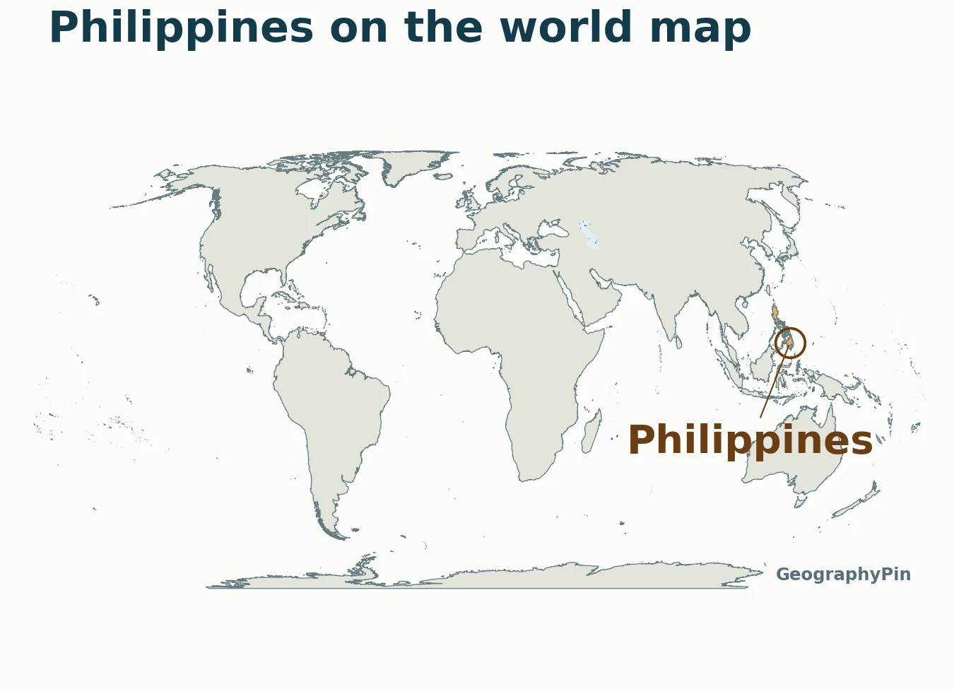
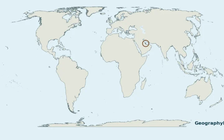
The Philippines lies off the southeastern side of the Asian mainland, in the western North Pacific. It is east of Vietnam and north of Indonesia. UN M49 places it in South-eastern Asia, so the answer to “Are the Philippines in Asia?” is yes.
Because the country is an archipelago, its land does not form one continuous block. On a small world map, some islands are too small to see individually. The locator therefore uses a ring and leader label rather than enlarging the land shapes and giving a false impression of their size.
2. Southeast Asia Close-Up
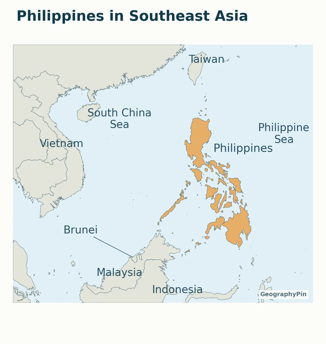
Nearby countries and places
Vietnam lies across the sea to the west. Malaysia and Brunei are to the southwest, and Indonesia is to the south. Taiwan lies to the north of the Philippine archipelago. These are orientation relationships, not a list of countries connected to the Philippines by road or a statement about maritime claims.
The Philippines has no land border with another country. Water separates its islands from the neighboring landmasses. A nearby coast on a small map can still be separated by a substantial stretch of sea; this locator does not provide ferry routes or travel distances.
For the wider continental context, use the Asia countries and capitals guide.
3. Surrounding Seas and the Pacific
Which water bodies should you look for?
- South China Sea: west of the archipelago.
- Philippine Sea: east of the islands, in the western Pacific.
- Sulu Sea: southwest of the central island group.
- Celebes Sea: south of Mindanao.
“Pacific Ocean” gives the broad ocean setting, while the sea names help describe particular sides of the archipelago. A sea name on a locator map is not a declaration that all of that water belongs to one country.
No exclusive economic zone, territorial-sea limit, disputed maritime claim or weather-monitoring boundary is drawn here. Those require separate datasets and explanations and should not be inferred from the orange land shading.
4. Luzon, Visayas and Mindanao
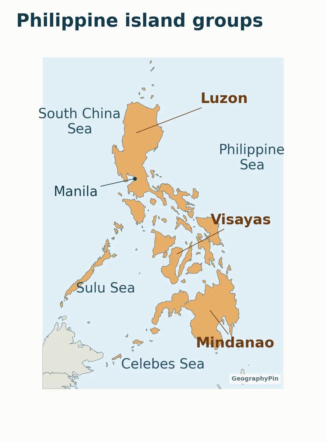
Three island groups, not three individual islands
The country is commonly described through three major island groups: Luzon in the north, the Visayas in the middle and Mindanao in the south. Luzon and Mindanao also name large individual islands; the Visayas is a group of islands rather than one island called Visayas.
Manila, the national capital, is on Luzon. Its dot comes from a geographic city dataset and is placed separately from the island-group label. The map does not attempt to count every island or classify every small offshore feature.
Open the full-size map when a label is difficult to read, or use the PDF for printing. Coastlines are generalized even in the close-up. These maps are educational locators, not navigational charts or evidence for a territorial claim.
What Did We Learn Today?
The Philippines is an Asian archipelago, not a single island or part of the mainland. Its location becomes easier to read by moving from the world map to Southeast Asia and then to Luzon, the Visayas and Mindanao. Sea labels and locator rings are orientation aids, not maritime boundary claims.
Sources & Data Notes
Island counts, population figures and current rankings are deliberately omitted. The consular source is used only for stable geographic orientation, island-group names and Manila, not its dated statistics. Maps use Natural Earth 1:10m countries and 1:110m city points; world outlines are further generalized. Capital names were checked in UNdata. Locator rings do not represent area.
- PAGASA: Philippines in the western North Pacific
- Philippine Consulate General Toronto: geography and island groups
- UNdata: Philippines country profile
- UN Statistics Division: M49 regional classification
- Natural Earth: country geometry, 1:10m
- Natural Earth: populated places, 1:110m
- Natural Earth: public-domain terms