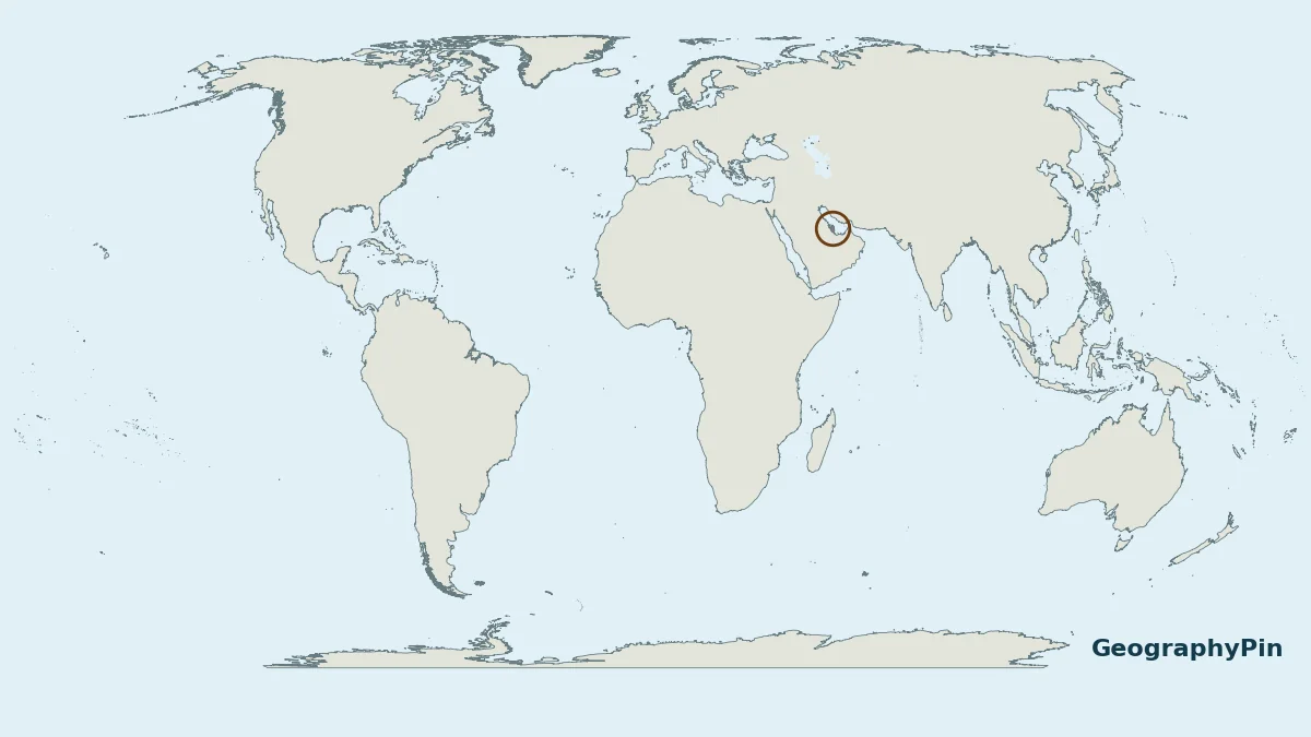
Qatar is a country on a small peninsula in Western Asia. The key to its location is the land connection with Saudi Arabia and the Gulf waters around the rest of its mainland.
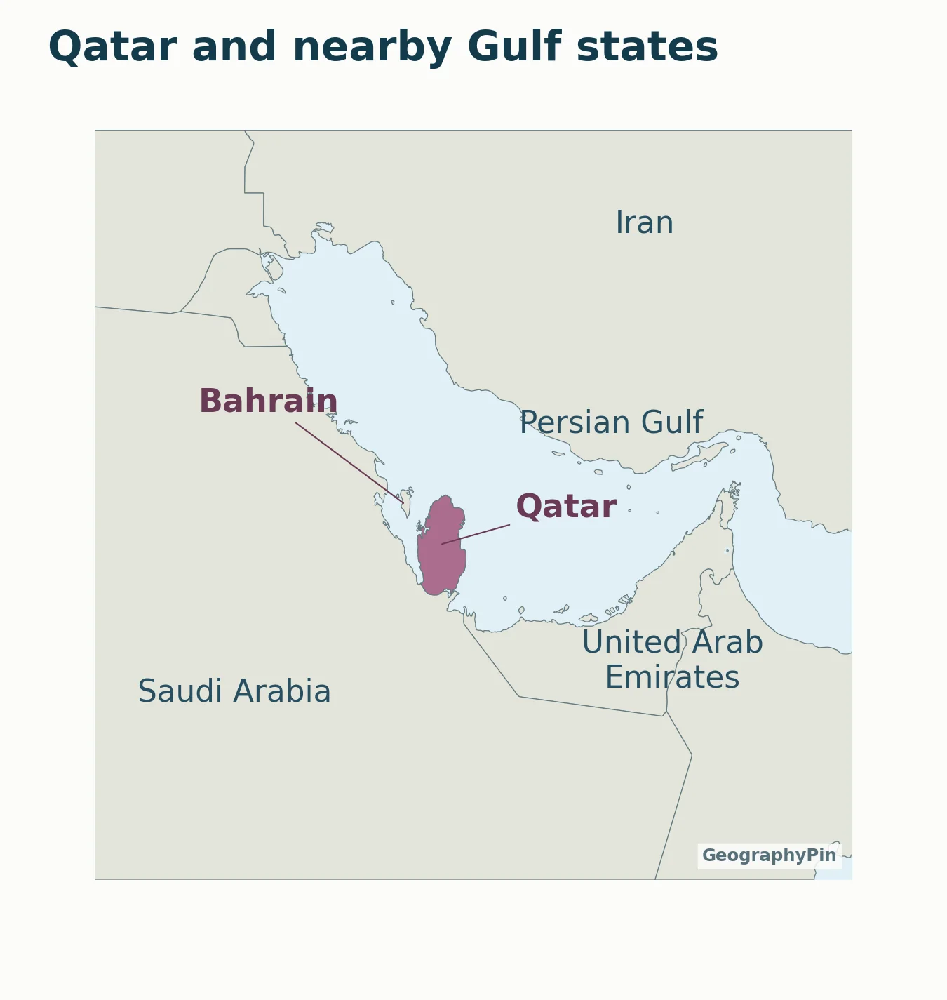
Qatar is in Western Asia, on a peninsula extending from the Arabian Peninsula into the Persian Gulf, also called the Arabian Gulf. Saudi Arabia is its only land-border neighbor. Bahrain is offshore, and the United Arab Emirates and Iran are nearby. Doha is Qatar’s capital city.
How to use this article: Check peninsula shape, land and sea neighbors, Doha’s position.
1. Qatar on the World Map
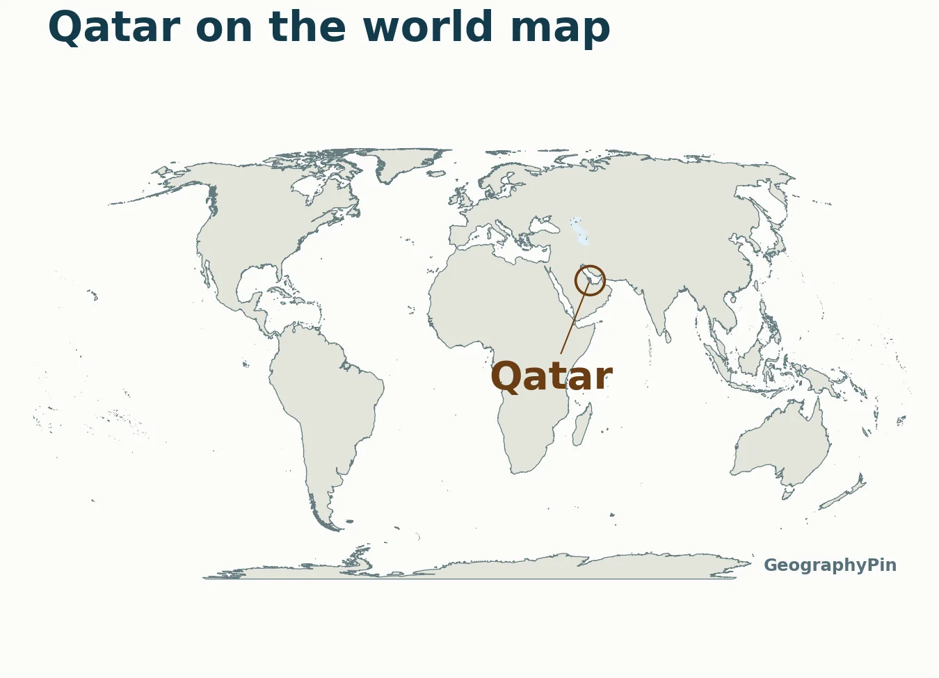
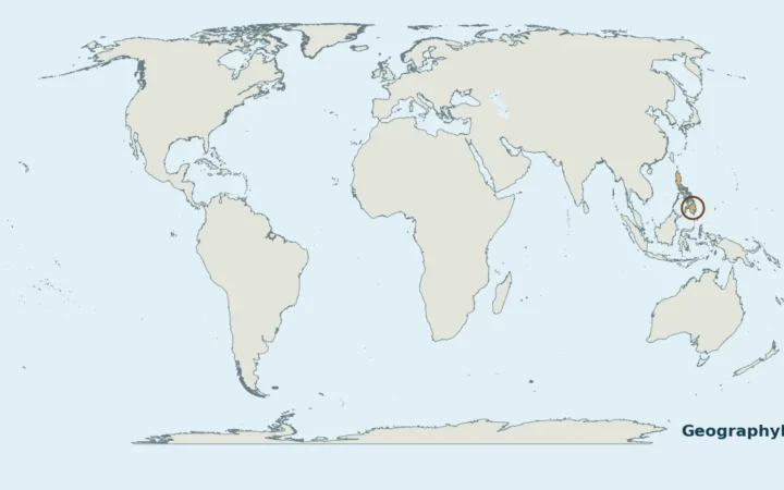
Qatar is a country in Western Asia, on the eastern side of the Arabian Peninsula. It is part of the region commonly called the Middle East. Those labels describe different scales: Asia is the continent, Western Asia is the UN statistical subregion, and Qatar is the state.
Qatar is not a city. Doha is its capital. Nor is Qatar one of the emirates of the United Arab Emirates: the two are separate countries. A map of the Gulf region shows their proximity without merging them into one place.
2. A Peninsula Extending into the Gulf
Why Qatar is not an island
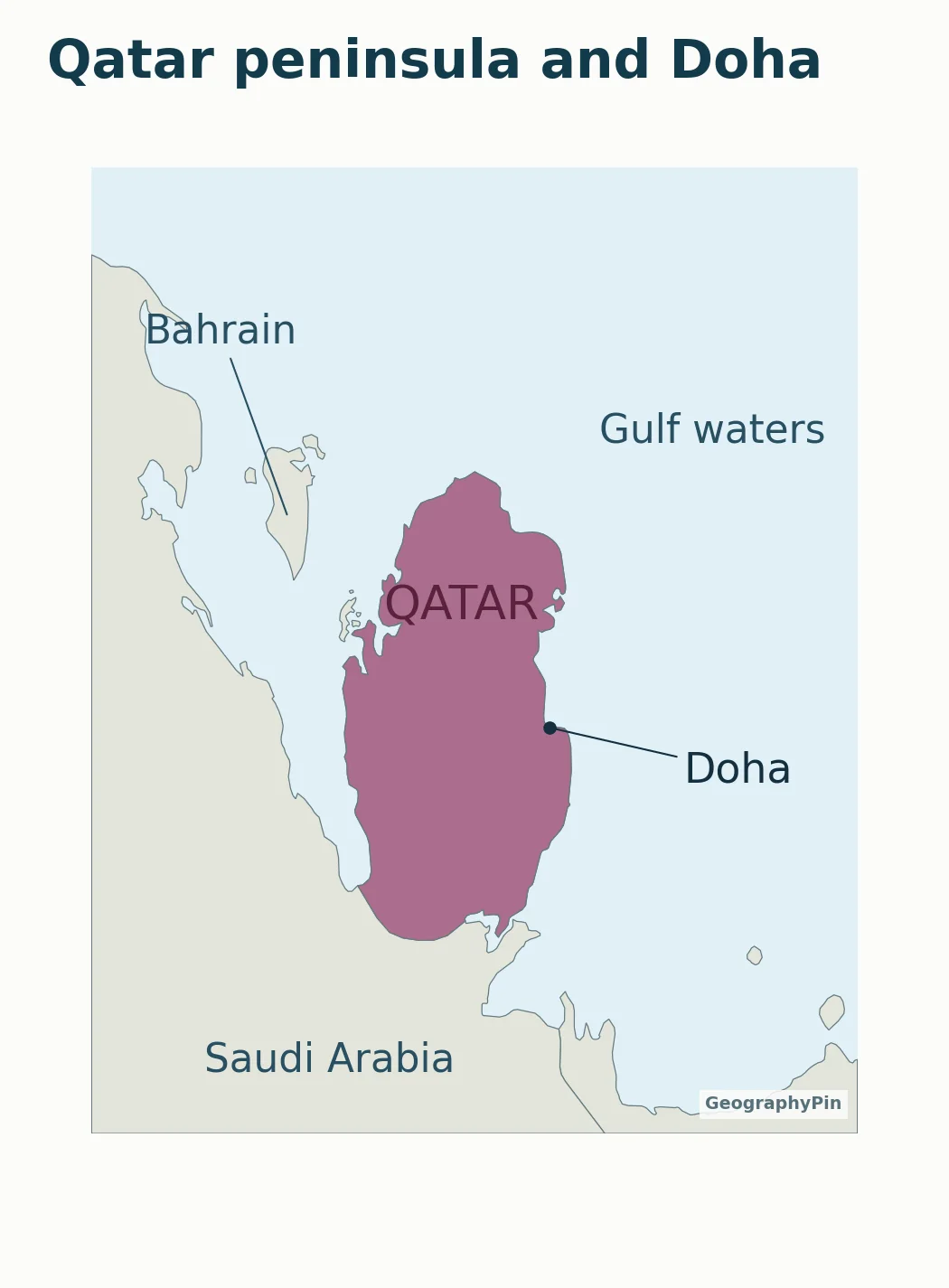
The main territory of Qatar is a peninsula: it projects into the sea but remains attached to the mainland at its southern end. Saudi Arabia is on the other side of that land border. Qatar also has offshore islands, but that does not turn its main peninsula into an island.
The surrounding regional water body is the Persian Gulf, also called the Arabian Gulf in Qatar and other regional usage. The close-up uses “Gulf waters” to keep its labels readable. These names refer to the water surrounding the peninsula, not to a land border.
The Arabian Peninsula is a much larger landmass than Qatar. The Qatar peninsula is a smaller projection from its eastern side. Confusing those two scales can make a simple location question seem more complicated than it is.
3. Land Border and Nearby Gulf States
One land neighbor; several nearby states
- Saudi Arabia: Qatar’s only land-border neighbor, to the south.
- Bahrain: an offshore island country to the northwest.
- United Arab Emirates: nearby to the southeast, but not a land-border neighbor of Qatar.
- Iran: across Gulf waters to the northeast.
A maritime neighbor is not the same as a land-border neighbor. Do not infer a direct land connection just because two names appear close together on a regional map. Likewise, a line pointing to Bahrain is a label leader, not a bridge or road.
For the wider regional grouping, see the Middle East countries guide. The Asia countries and capitals guide provides the continental reference.
4. Doha on the Qatar Peninsula
Capital city versus country
Doha is on Qatar’s eastern coast. The city dot helps distinguish the capital from the full national territory: the label “Qatar” belongs to the country, while “Doha” identifies a particular place within it.
The close-up makes the southern land connection and the water separating Qatar from Bahrain easier to see than the world map does. Open the full-size map for detail, or download the PDF to print it. The regional map and close-up have different scales; their apparent country sizes should not be compared directly.
These files are geographic orientation aids. They do not show sea boundaries, road crossings, current entry requirements or transport services. Those are separate questions that require their own current sources.
What Did We Learn Today?
Qatar is a country, Doha is its capital, and the main territory is a peninsula rather than an island. Saudi Arabia is the only land neighbor; nearby Bahrain, the United Arab Emirates and Iran do not change that distinction. The maps explain location without drawing maritime borders.
Sources & Data Notes
The article distinguishes land connections from nearby maritime states. Gulf naming follows English-language UN usage with the regional alternative acknowledged; no maritime limits are drawn. Maps use Natural Earth 1:10m countries and 1:110m city points; world outlines are further generalized. Capital names were checked in UNdata. Locator rings do not represent area.
- Qatar Government Communications Office: geographic setting
- Qatar Communications Regulatory Authority: location and neighbors
- UN Division for Ocean Affairs and the Law of the Sea: Persian Gulf coastal states
- UNdata: Qatar country profile
- UN Statistics Division: M49 regional classification
- Natural Earth: country geometry, 1:10m
- Natural Earth: populated places, 1:110m
- Natural Earth: public-domain terms