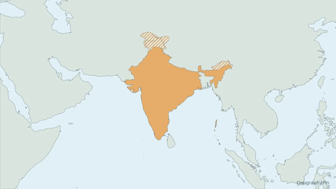
Yes. India is part of Asia; the confusion usually comes from the terms “Indian subcontinent” and “Indian Plate,” which describe different things.
India is in Asia, specifically Southern Asia in the United Nations M49 classification. It is a country, not a continent. The Indian subcontinent is a broader geographic region within Asia, while the Indian Plate is a geological unit. Those terms do not place modern India outside Asia.
How to use this article: Check the regional classification, subcontinent meaning, plate distinction.
Maps fit the screen by default. Select 2× or 4× for details, swipe or scroll within the map, and choose Fit / Reset for the full view.
1. India on the Asia and World Maps
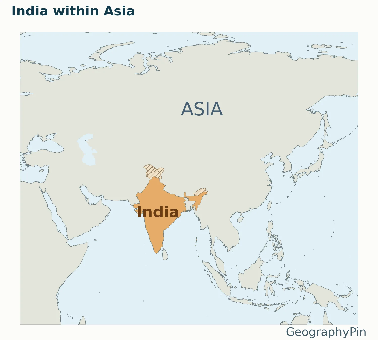
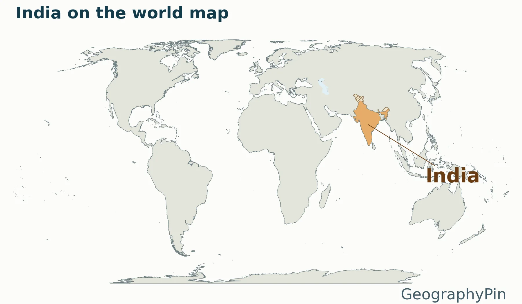
Find the large Eurasian landmass, then look for India’s southward-projecting peninsula. The Arabian Sea is to its west and the Bay of Bengal to its east. Both belong to the Indian Ocean, which lies south of the country. Being beside an ocean does not change which continent a country belongs to.
2. India Is in Southern Asia
The regional classification
UN M49 places India in Southern Asia, not South-eastern Asia. “South Asia” is also widely used in ordinary writing, but regional labels can have different membership rules in statistical, cultural and political contexts.
The essential answer does not depend on settling every regional definition: India is a country in Asia. The map’s orange shading identifies India rather than the whole Southern Asia grouping. For a wider reference, see our Asia countries and capitals guide.
3. Country, Subcontinent and Tectonic Plate
Why “subcontinent” does not mean a separate continent
The Indian subcontinent is a large geographic region within Asia, not another name for the modern Republic of India alone. The term commonly includes neighboring lands as well as India; its exact coverage depends on the context. Calling it a subcontinent emphasizes its distinctive physical geography and history without making India an eighth continent.
A geological plate is a different kind of unit
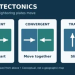
The Indian Plate is part of Earth’s moving outer shell. It is not a political country, and its edges do not follow India’s national borders. USGS research describes the India–Eurasia collision and the Himalayan mountain system associated with it.
Geological descriptions of India colliding with Asia refer to plate motion over geological time. They do not mean that present-day India is outside the continent of Asia. Keep the three terms separate: India is the country, the subcontinent is a regional concept, and a tectonic plate is a geological structure. See the continents explainer for the broader distinction between continents and plates.
4. Read the Neighboring-Country Map Carefully
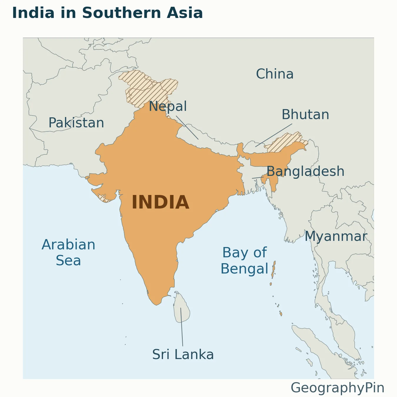
This map is a location aid, not an authoritative statement of all territorial claims. Some of India’s northern boundary areas are disputed. Hatching flags special areas in the source dataset instead of silently treating every line as universally accepted.
The image is also not an exhaustive list of land-border claims. It labels nearby countries that help readers recognize the region. A leader line points to a place when its name would otherwise crowd a small shape. Open the full-size map for detail, or download the PDF for printing.
The geographic answer remains simple: India is in Asia, specifically Southern Asia in the UN statistical scheme. Neither the subcontinent terminology nor the plate-tectonic history changes that present-day location.
What Did We Learn Today?
India’s location is not ambiguous: it is in Asia. Southern Asia identifies its subregion, while “Indian subcontinent” and “Indian Plate” refer to geography and geology at different scales. A locator map helps explain the relationship without pretending to settle disputed borders.
Sources & Data Notes
India’s region follows UN M49. Maps are generalized locators, not definitive territorial-claim or military-control maps. USGS research supports the plate-collision explanation; no precise collision date or rate is asserted. Basemap: Natural Earth 1:50m version 5.1.1, public domain.