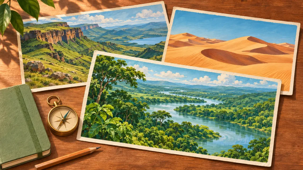
This Africa geography quiz connects countries and capitals with the continent’s rivers, seas, islands and landforms. Answer 20 multiple-choice questions, learn from a short explanation after each answer, and finish with a score out of 20.
There is no timer. The questions focus on geography rather than membership of political or economic organizations.
Test your mental map of Africa
20 questions · No timer · One point per correct answer
Easy, Medium and Hard are relative editorial difficulty levels for general geography learners, not standardized ratings. Every correct answer earns one point.
Choose an answer, then open “Show answer” to check it yourself. Interactive scoring appears when JavaScript is available.
Choose one answer, select Check answer, then continue to the next question.
Your Africa quiz result
Easy
Show answer
Correct answer: Nairobi.
Nairobi is Kenya’s capital.
Easy
Show answer
Correct answer: Sahara.
The Sahara lies in northern Africa. Erg Chebbi in Morocco is one of its dune areas.
Medium
Show answer
Correct answer: Morocco.
Rabat is Morocco’s capital, on the country’s Atlantic coast.
Medium
Show answer
Correct answer: Tanzania.
Kilimanjaro is a volcanic mountain in Tanzania. It is protected within Kilimanjaro National Park.
Easy
Show answer
Correct answer: Mediterranean Sea.
The Nile flows north into its delta before reaching the Mediterranean Sea.
Easy
Show answer
Correct answer: Indian Ocean.
Madagascar lies in the Indian Ocean, east of the African mainland.
Medium
Show answer
Correct answer: Lusaka.
Lusaka is Zambia’s capital.
Medium
Show answer
Correct answer: Zambezi.
The Zambezi drops through basalt gorges at Victoria Falls, on the border between Zambia and Zimbabwe.
Medium
Show answer
Correct answer: Atlas Mountains.
The Atlas Mountains extend across parts of Morocco and Algeria. A mountain range can cross national borders.
Hard
Show answer
Correct answer: Botswana.
The Okavango Delta lies in northwestern Botswana. It is an inland delta without an outlet to the sea.
Medium
Show answer
Correct answer: Senegal.
Dakar is the capital of Senegal.
Medium
Show answer
Correct answer: Lake Victoria.
Kenya, Tanzania and Uganda all have shores on Lake Victoria. The lake is a shared physical feature rather than part of only one country.
Medium
Show answer
Correct answer: Lesotho.
Lesotho is an independent country entirely surrounded by South Africa. Enclosure does not make it part of its neighbor.
Easy
Show answer
Correct answer: Atlantic Ocean.
The Namib Desert meets the Atlantic coast of Namibia. This is a desert beside an ocean, not a desert far inland.
Medium
Show answer
Correct answer: Addis Ababa.
Addis Ababa is Ethiopia’s national capital.
Medium
Show answer
Correct answer: Equator.
The wider Mount Kenya area crosses the Equator, the 0° line of latitude.
Medium
Show answer
Correct answer: Congo.
Kinshasa and Brazzaville stand on opposite banks of the Congo River. They are capitals of two different countries.
Medium
Show answer
Correct answer: Cape Peninsula.
The Cape of Good Hope is part of the Cape Peninsula in South Africa.
Easy
Show answer
Correct answer: Red Sea.
The Suez Canal is an artificial waterway in Egypt linking the Mediterranean and Red seas.
Medium
Show answer
Correct answer: Cabo Verde.
Cabo Verde is an archipelago of volcanic islands in the Atlantic, west of Senegal and Mauritania.
Turn your score into a map check
Each correct answer earns one point, with no penalty for a wrong answer. At the end, select Review answers to see every question and explanation, or Try again to replay the same set. The quiz does not save your score between visits.
- For capitals: locate the country before finding its capital. Keep the city’s name separate from the country’s name.
- For rivers: follow the Nile toward the Mediterranean, locate the Zambezi at Victoria Falls, and find the Congo between Kinshasa and Brazzaville.
- For coasts and islands: compare Madagascar east of the mainland with Cabo Verde off West Africa. Then locate the Namib Desert on Namibia’s Atlantic coast.
For a wider challenge, try the world geography quiz. To practice another continent, play the Europe geography quiz.
What Did We Learn Today?
Africa’s geography connects inland places with coasts, rivers and islands. The Nile reaches the Mediterranean, the Okavango forms an inland delta, and the Congo separates two capital cities. Madagascar and Cabo Verde lie on different ocean sides of the continent, while shared lakes and mountain ranges cross national borders.
Sources & Data Notes
Questions focus on established locations and physical relationships. They avoid contested country counts, river-length rankings and changing capital-relocation claims. Mount Kenya’s mountain area straddles the Equator; its summit is not claimed to sit exactly on it. Lesotho is a separate country enclosed by South Africa, and the Okavango is an inland delta. References below support the answers and explanations.
- Capital-city references: Nairobi Swells with Urban Growth; Rabat, Modern Capital and Historic City: a Shared Heritage; Agreement in principle reached on Agreement between Japan and the Republic of Zambia for the Promotion and Protection of Investment; Sénégal; White Paper on Development Cooperation 2020: Stories from the Field 8.
- Rivers, falls and inland waters: Dust Sweeps over the Red Sea; Mosi-oa-Tunya / Victoria Falls; Okavango Delta; Investment in Fisheries; Kinshasa and Brazzaville.
- Mountain and desert locations: Sandy Sculptures in Morocco’s Erg Chebbi; Kilimanjaro National Park; Dust Storm in the Atlas Mountains; Namib Desert from the International Space Station; Mount Kenya National Park/Natural Forest.
- Island locations: Earth from Space: Madagascar; Cabo Verde.
- Borders, peninsulas and canal connections: Lesotho; Cape of Good Hope & Cape Point – Table Mountain National Park; About Suez Canal.