This soil geography quiz tests how soils form, vary across landscapes and store water and carbon. Answer 20 questions on profiles, texture, structure and classification, with an explanation after each answer and a score out of 20.
Soil geography examines where soils occur and why they differ; pedology studies soils as natural bodies, including their formation and classification. This set uses practical scenarios and a small water-storage calculation, rather than gardening advice or crop recommendations.
Read the soil. Explain the landscape.
20 questions · No timer · One point per correct answer
Easy, Medium and Hard are relative editorial difficulty levels for general geography learners, not standardized ratings. Every correct answer earns one point.
Choose an answer, then open “Show answer” to check it yourself. Interactive scoring appears when JavaScript is available.
Choose one answer, select Check answer, then continue to the next question.
Your Soil Geography quiz result
Easy
Show answer
Correct answer: Climate and organisms interact with the other soil-forming factors.
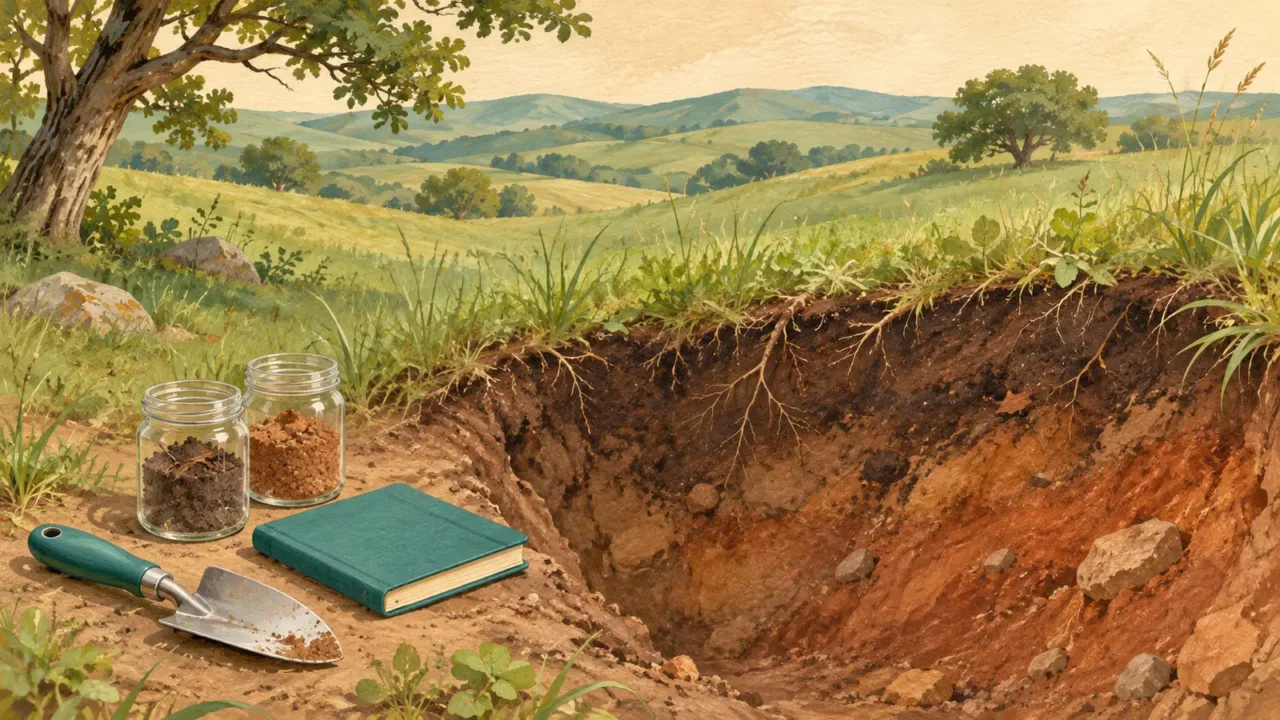
Soils develop through interacting influences of parent material, climate, organisms, relief and time. Rainfall affects weathering and leaching, while roots and decomposing material affect soil properties. Soil is a natural body with mineral and organic components, water and air, not simply a layer of broken rock.
Easy
Show answer
Correct answer: The wind-deposited silt.
Parent material is the material in which a soil develops. It can be transported sediment rather than the rock directly underneath. Here the soil formed in the silt blanket; identifying the underlying bedrock alone would miss that relationship.
Easy
Show answer
Correct answer: The activity of organisms.
Organisms contribute to soil development by making pores, mixing materials and transforming organic residues. These biological effects interact with moisture, temperature and mineral material. They help explain why a soil is more than weathered rock.
Medium
Show answer
Correct answer: The older surface may have more developed soil horizons.
A stable surface gives soil-forming processes longer to act. Newly deposited flood sediment may show little horizon development, while an older terrace can have clearer horizons. Development is not a precise age clock: climate, erosion, burial and other factors also matter.
Easy
Show answer
Correct answer: A soil can be validly described without an O or E horizon.
Not every soil has every horizon shown in a textbook diagram. O denotes an organic horizon and E a zone of substantial mineral loss in the NRCS convention. Their absence does not, by itself, establish erosion or invalidate the profile.
Easy
Show answer
Correct answer: Soil texture.
Texture describes the relative proportions of the sand, silt and clay particle-size fractions. Structure instead describes how particles are arranged into aggregates. Texture does not measure organic matter or the mass of dry soil per unit bulk volume.
Medium
Show answer
Correct answer: Their soil structure.
Structure concerns the arrangement of particles and the aggregates they form. Soils with the same texture can have different structures and pore networks. Breaking or compacting aggregates need not change the size distribution of the individual mineral particles.
Hard
Show answer
Correct answer: Eluviation, then illuviation.
Eluviation is removal of material from a horizon; illuviation is its accumulation in another horizon. The described clay movement is a transfer within the profile. A clay-rich lower layer alone would be weaker evidence because different original sediment layers can also have different textures.
Hard
Show answer
Correct answer: B: 20%, compared with 15% for A.
Subtract the two water contents: A gives 40 − 25 = 15 percentage points, while B gives 30 − 10 = 20. Water retained too tightly for roots is excluded from this conventional estimate. More total retained water does not necessarily mean more plant-available water; actual extraction also varies with plants and soil conditions.
Medium
Show answer
Correct answer: Rapid infiltration does not necessarily mean high water retention.
Infiltration is water entering the soil surface; retention concerns the water held in the soil. Large, connected pores can allow rapid entry and drainage. Smaller pores often hold water more strongly, and soil structure as well as texture affects these relationships.
Medium
Show answer
Correct answer: pH can change nutrient solubility and availability to roots.
Soil pH describes acidity or alkalinity and influences chemical reactions, including nutrient solubility. Total nutrient content and plant availability are therefore different questions. No single pH value is best for every plant, nutrient or soil.
Medium
Show answer
Correct answer: Leaching.
Leaching removes dissolved substances as water moves through soil. Loss of base cations such as calcium can contribute to acidification. This differs from surface erosion, which transports soil material away, and from compaction, which changes its packing.
Medium
Show answer
Correct answer: B has the greater salt-accumulation risk because fewer salts leave.
Drainage can export the salts carried by water through the root zone. With comparable inputs, restricted removal increases the risk of accumulation in B. Evaporation may concentrate salts but does not provide that export. Salinity also differs from excess exchangeable sodium, and drainage-water disposal can affect places downstream.
Medium
Show answer
Correct answer: Color alone cannot establish nutrient availability or other growing conditions.
Darkness may be a clue to organic matter, but soil color also reflects minerals and other conditions. Fertility and plant growth depend on nutrient supply, pH, water, aeration and more. Color is useful evidence in context, not a complete fertility test.
Medium
Show answer
Correct answer: Relief changes drainage and the movement of soil materials.
Landscape position affects water movement, drainage, erosion and deposition. A related sequence of soils down a slope is often studied as a toposequence or catena. This does not require an abrupt climate change or imply that every lower-slope soil has the same properties.
Easy
Show answer
Correct answer: The soil is being lost faster than it is being replaced.
A continuing formation process does not guarantee a balanced soil budget. When removal exceeds replacement, soil depth and functions can decline. Accelerated erosion may destroy soil far faster than it can recover on human timescales; there is no single formation rate that applies everywhere.
Medium
Show answer
Correct answer: It increases because the same mass occupies less volume.
Bulk density is dry soil mass divided by bulk volume, including pore space. Reducing volume while keeping mass constant raises bulk density. Compaction commonly reduces pore space and can restrict roots, aeration and water movement without changing texture.
Medium
Show answer
Correct answer: Faster decomposition can release stored carbon as carbon dioxide.
Waterlogged conditions can slow decomposition and allow organic material to accumulate. Drainage can speed its breakdown, releasing carbon that had been stored in peat. The question concerns that carbon-loss mechanism, not a claim that every drained site has an identical emissions rate.
Hard
Show answer
Correct answer: Check each system’s definitions and any documented correspondence.
USDA Soil Taxonomy and WRB organize soil information using different classification structures and diagnostic criteria. WRB uses Reference Soil Groups and qualifiers, whereas USDA Soil Taxonomy has a hierarchy including orders and series. A matching or familiar name is not enough to establish one-to-one equivalence.
Hard
Show answer
Correct answer: Estimated shares of the map unit’s area occupied by its components.
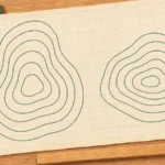
Map-unit composition describes the estimated extent of its soil and nonsoil components. It does not mean that each point or sample contains the same mixture. A mapped unit can include contrasting soils and rock outcrops; its description and local observations help interpret that spatial variation.
Make sense of your soil quiz results
Each correct answer earns one point, with no penalty for a wrong answer. At the end, select Review answers to see every question and explanation, or Try again to replay the same set. The quiz does not save your score between visits.
- Separate composition from arrangement. Texture describes sand, silt and clay proportions. Structure describes their aggregation and influences the pore network.
- Read a profile as evidence. Horizon sequences vary. A soil’s color or one layer alone does not reveal its whole history or fertility.
- Distinguish water measures. Fast entry does not guarantee high retention, and not all retained water is available to roots.
- Read the map’s definitions. Check the classification system and map-unit description before applying a regional soil label to one small site.
For the wider context, see how physical and human geography connect.
For a broader, configurable mix of places and geography topics, try the world geography quiz.
What Did We Learn Today?
Soils develop through interactions among parent material, climate, organisms, relief and time. Texture and structure describe different properties, while water movement, retention and chemistry help explain soil behavior. Horizons are evidence rather than a compulsory checklist, and dark color alone is not a fertility test. Erosion, compaction and drainage can change soil functions; classification names and map units need interpretation before they are applied to a particular place.
Sources & Data Notes
The questions use the directly linked soil-science references below. The water-content exercise, map-unit percentages and field scenarios are hypothetical. Available water uses the stated field-capacity minus wilting-point convention, which simplifies plant and soil differences. Horizon labels follow the NRCS convention where specified; the Canadian reference supports the transfer processes, not a replacement naming system. USDA Soil Taxonomy and WRB classes are not treated as interchangeable. Easy, Medium and Hard are relative editorial labels, not standardized ratings.
- USDA Natural Resources Conservation Service: Soil Facts: soil-forming factors; A Soil Profile; National Agronomy Manual: soil water, texture and structure; Soil Tech Note 24A: pH; Soil Health Assessment; Soil Colors of the United States; Soil Survey Manual, Chapter 4: Soil Mapping Concepts.
- Agriculture and Agri-Food Canada: The Canadian System of Soil Classification: soil horizons.
- FAO: Salt-affected soils; Global Symposium on Soil Erosion: Key messages; Peatlands: The importance of peatlands.
- IUSS Working Group World Reference Base: World Reference Base for Soil Resources: The system; Soil Sequence Atlas: the catena approach.