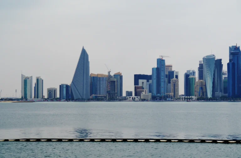
Qatar’s desert is not one continuous field of dunes. Low rocky plains, salt flats and coastal wetlands sit beside a settlement pattern shaped by Doha, industrial ports and energy resources.
Qatar is a low-lying Gulf peninsula whose geography combines limestone terrain, southeastern dunes and a heavily developed eastern coast. Doha is the capital, while Dukhan, Ras Laffan and Mesaieed have different energy-industry roles. Water infrastructure helps support urban life in a climate with little rainfall; coastal wetlands and inland depressions add contrasts to the desert landscape.
How to use this article: Compare landscape settings, follow the water network, distinguish energy centers, or check municipal population figures.
1. Reading Qatar’s Landscape Map
A short regional orientation
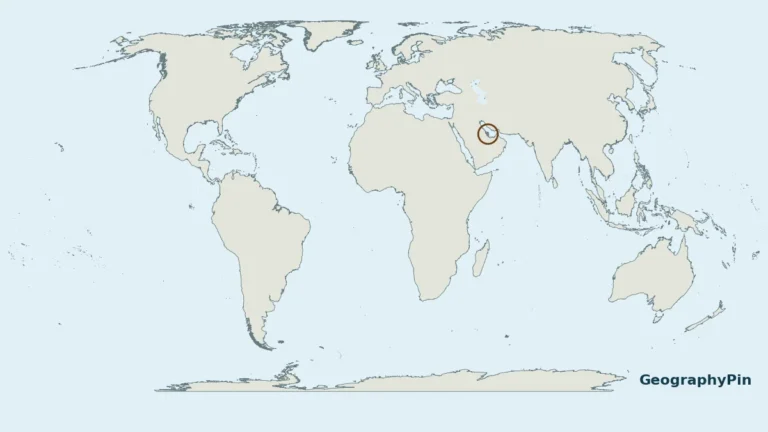
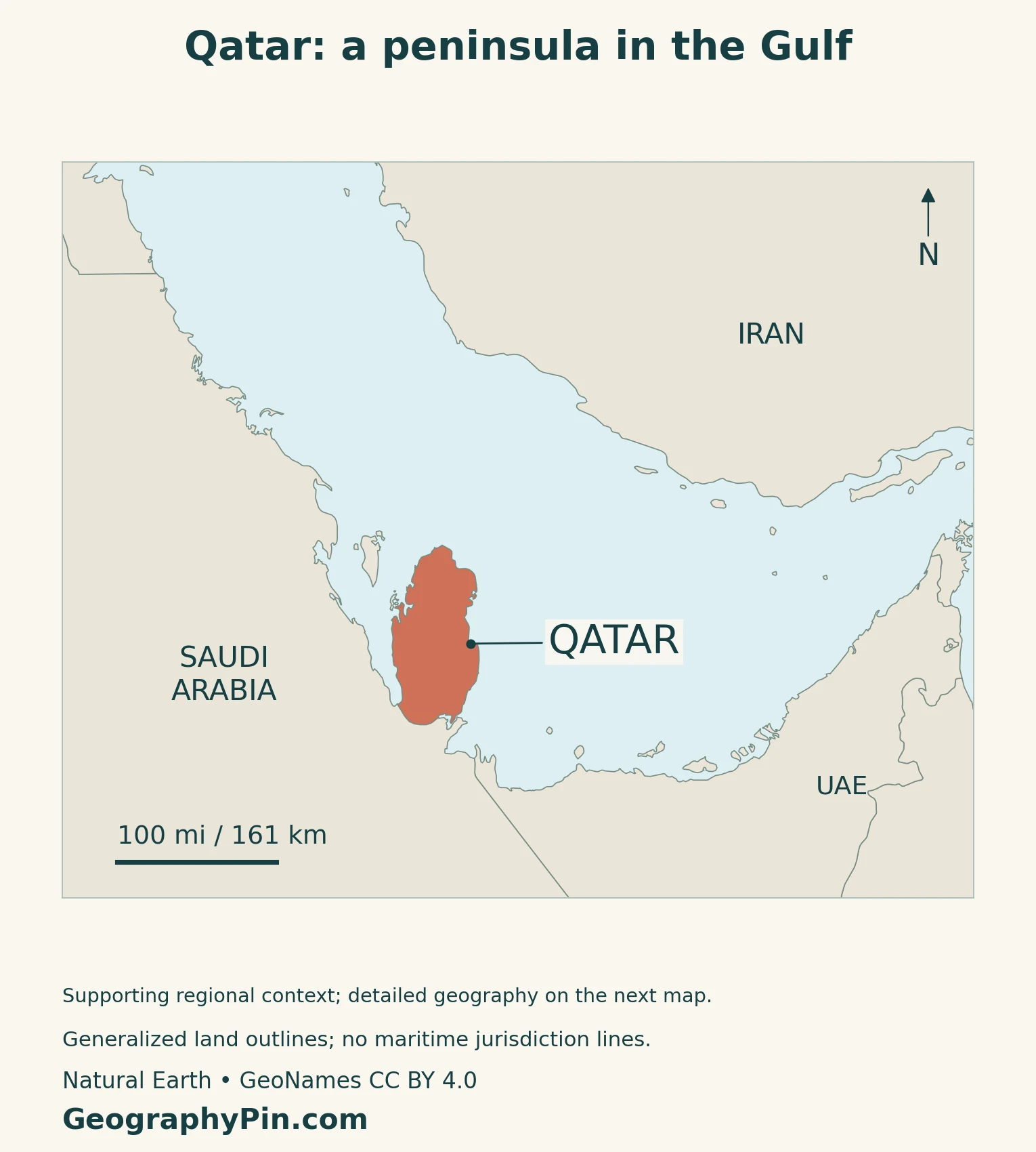
Qatar projects from the eastern side of the Arabian Peninsula into the Persian Gulf, also called the Arabian Gulf. Saudi Arabia is its land neighbor to the south. For the full explanation of nearby countries and Doha’s location, use the separate Qatar location-map guide.
The maps here serve a different task: relating the desert interior to the main coastal and industrial places. Doha and Al Khor are on the eastern side; Dukhan lies toward the west. Ras Laffan and Mesaieed help explain why the eastern coast contains more than one kind of urban or industrial center.
Read terrain and place markers separately

The relief background represents elevation, not a map of vegetation, population density or industrial boundaries. A place marker identifies a reference location; it does not show the full extent of a city, oilfield or dune system. Small differences in height matter in this low-relief setting without turning its ridges into mountain ranges.
2. Rocky Desert, Dunes and Coastal Wetlands
Several desert environments, not one surface
Qatar’s 2025 national climate submission describes predominantly flat desert with southeastern sand dunes, limestone outcrops around Dukhan and Jabal Fiwairit, and hills in the northwest. The word “desert” describes the dry environment, not a requirement that every surface be sandy.
| Setting | What distinguishes it | How to interpret it |
|---|---|---|
| Rocky interior | Limestone and gravel surfaces | Much of the desert is not dune-covered |
| Dukhan and western ridges | Rocky relief beside low depressions | A different setting from the eastern urban coast |
| Southeastern coast | Dunes, tidal water and salt flats | Khor Al Adaid is connected to the Gulf |
| Northeastern wetlands | Mangroves, creeks and tidal flats | Coastal habitat can coexist with an arid interior |
Why shallow depressions matter
Geomorphological research in southern Qatar distinguishes stony plains, rocky ridges, wadis and sediment-filled depressions. Some small depressions, called riyad, form through dissolution and collapse in limestone and gypsum. Fine sediment can collect there, making them different from the surrounding gravel-covered ground.
The same research distinguishes the inland Dukhan salt flat from coastal flats. A sabkha is a saline flat: the term does not mean that every example is directly connected to the sea. These local contrasts help explain why a plain-looking national outline contains more varied ground conditions than a single desert color suggests.
Khor Al Adaid is a tidal embayment
Khor Al Adaid, often called the Inland Sea, is a southeastern tidal embayment connected to Gulf waters through a channel. Qatar’s submission to UNESCO describes mobile dunes, salt flats, stony desert and rocky outcrops around it. “Inland Sea” is a place-name, not evidence of an isolated freshwater lake.
The reserve has been on Qatar’s UNESCO Tentative List since 2008; it is not an inscribed World Heritage property.
Mangroves near Al Khor
In the northeast, the Ministry of Environment describes Al Thakhira as a coastal wetland system with mangroves, creeks, mudflats, salt flats and seagrass habitats. Mangroves grow in saline coastal conditions; their presence does not mean that Qatar has a rainy forest climate.
Wetlands and dry ground can lie close together because local water conditions differ. A national climate label therefore does not replace a habitat map, especially around tidal shores.
3. Heat, Rainfall and the Water Network
Dry climate does not always mean dry air
The national climate submission describes very hot summers and cooler winters with occasional rain. Coastal air contains more moisture than the interior, and coastal temperatures have a different daily range. Humid conditions beside the Gulf can therefore occur within an arid climate.
Rainfall is limited and variable. The same source identifies northerly to northwesterly shamal winds that can carry dust.
Water must be treated, stored and moved
Kahramaa, Qatar’s electricity and water corporation, describes a supply system built around desalinated water, transmission pipelines, distribution networks, reservoirs and pumping stations. Desalination removes salts from seawater; the infrastructure then moves and stores that water for use away from the production plants.
This changes the relationship between settlement and local rainfall. A large urban population can receive water through an engineered network rather than depending only on rain falling within the city. It does not remove the need for energy, storage, maintenance or careful use.
Groundwater is a separate resource. Kahramaa also manages wells and recharge projects. Groundwater and desalinated supply are different categories; a water balance should identify which source and use it measures.
4. Coastal Cities and the Geography of Energy
Dukhan, Ras Laffan and Mesaieed do different jobs
QatarEnergy identifies Dukhan as its onshore oil and gas production area in western Qatar. Ras Laffan, north of Doha on the eastern coast, is an onshore base for processing hydrocarbons from the offshore North Field. Mesaieed, south of Doha, contains refining, gas-processing, petrochemical and metals industries.
Those locations separate three stages that a simple “oil-rich country” label obscures: where resources are extracted, where they are processed and where products leave by sea. QatarEnergy describes pipelines supplying Mesaieed from Dukhan and Ras Laffan, connecting places that are not adjacent on the map.
Why an oilfield and its export port need not coincide
The operator’s port history links Mesaieed’s development to shallow water along the western coast near Dukhan. A field can be productive without having a suitable tanker port immediately beside it. Moving oil across the peninsula connected western extraction with an eastern export location.
Ras Laffan’s port was developed for gas brought ashore from the North Field and for associated products. Its position connects offshore production with industrial land and shipping facilities. These are descriptions of geographic function, not claims about current cargo volumes, construction completion or the security of shipping routes.
Industry is also a settlement system
QatarEnergy’s industrial-city descriptions include workers’ accommodation and supporting services as well as production facilities. Energy geography therefore involves places where people work and live, not only wells and export terminals.
5. Population, Municipalities and Dated Country Facts
A dated reference, not a live population counter
The amended 2024 Constitution identifies Doha as the capital and Arabic as the official language, and establishes hereditary rule. The city’s national role should be distinguished from the statistical area called Doha municipality. The Doha city-region guide maps the bay, neighboring centers and municipal boundaries at a closer scale.
| Item | Reference |
|---|---|
| Capital | Doha |
| Population inside Qatar | 3,370,611 in March 2026, NPC monthly indicator |
| Land area | About 4,493 square miles (11,636.8 square kilometers), Census 2020 zone-area basis |
| Official language | Arabic |
| Currency | Qatari riyal (QAR) |
| Government | Hereditary monarchy |
| Administrative divisions | Eight municipalities |
The monthly population indicator counts people inside Qatar, including Qataris and non-Qataris, rather than nationals alone. People abroad are outside that reference-date count. It is not a census total or an estimate of how many people hold Qatari citizenship.
Doha and Al Rayyan dominate the municipal census distribution
The 2020 census dataset recorded 1,186,023 people in Doha municipality, or 41.7% of the national total, and 826,786 in Al Rayyan, or 29.0%. Those two administrative areas together contained about seven in ten people counted in that census.
This is not a claim that seven in ten lived inside Doha city or one consistently defined metropolitan area. Municipalities have their own boundaries, and the census distribution describes 2020 rather than the later monthly population snapshot.
For broader reference, use the Middle East countries guide and the Asia countries and capitals list.
What Did We Learn Today?
Qatar’s physical geography is more varied than a blanket of sand: rocky ground, depressions, dunes and coastal wetlands occur within a generally low landscape. Doha’s capital role differs from the production and processing roles of Dukhan, Ras Laffan and Mesaieed. Water networks help connect an arid environment with urban life, while dated statistics and clear municipal boundaries keep population comparisons meaningful.
Sources & Data Notes
The monthly population snapshot is March 2026, not a claim to the latest release. Settlement shares use separate 2020 census municipality boundaries, not metropolitan boundaries. Land area follows the Atlas’s Census 2020 zone-area method. Legal references use the amended 2024 Constitution. Climate and industrial descriptions explain general patterns and functions, not current forecasts, project completion or shipping conditions.
- Qatar NDC 3.0 (November 2025): physical setting and broad climate
- Engel and colleagues (2020): southern Qatar’s rocky plains, karst depressions and salt flats
- UNESCO Tentative List: Qatar’s 2008 Khor Al-Adaid submission; not a World Heritage inscription
- Environment Ministry: Al Thakhira coastal wetland habitats
- Kahramaa: desalination, water networks, reservoirs and groundwater management
- QatarEnergy: distinct functions of Dukhan, Ras Laffan and Mesaieed
- QatarEnergy: port locations and the historical Dukhan–Mesaieed connection
- National Planning Council: March 2026 population inside Qatar
- Qatar News Agency (2022): explanation of the monthly inside-country population scope
- Qatar Open Data: municipality population and density, Censuses 2010 and 2020
- NPC Atlas: land area calculated from Census 2020 zone areas
- Qatar Constitution, second edition 2024: capital, language and hereditary rule
- Ministry of Municipality: eight municipalities
- Government Communications Office: currency and capital context
Map method: Original GeographyPin maps use public-domain Natural Earth country geometry and GeoNames locations under CC BY 4.0. Relief comes from Mapzen Terrain Tiles and USGS elevation data, with no invented mountain or vegetation classes. City and industrial-area markers are references, not boundaries; the desert-interior dot is illustrative. Khor Al Adaid is an inlet reference. The generalized coastline does not inventory all small islands or modern reclamation. No maritime limits or offshore field outlines are drawn. The feature uses a decorative flag-filled silhouette and a separate intact flag. Qatar’s Foreign Ministry confirms the white-and-maroon design with nine points; the separate flag uses the conventional long format, not a claim that every ceremonial format is identical.