The Pacific Ocean is the planet’s largest and deepest body of water, spanning about 63.8 million sq mi (≈165.2 million km²)—roughly one-third of Earth’s surface. It shapes global climate through powerful currents and events like El Niño, and it hosts the Pacific “Ring of Fire,” a vast zone of volcanic and earthquake activity.
Geography and Extent of the Pacific Ocean
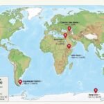
The Pacific Ocean extends roughly from 135°E to 75°W if measured across its widest reach, with a north–south span from the Arctic Ocean to the Southern Ocean surrounding Antarctica. Its area is about 165.2 million km² (63.8 million sq mi), representing ~32% of Earth’s total surface and ~46% of the global ocean surface. Average depth is close to 4,000 meters (about 13,100 feet), and total volume is commonly estimated near 710 million km³ (≈170 million cubic miles).
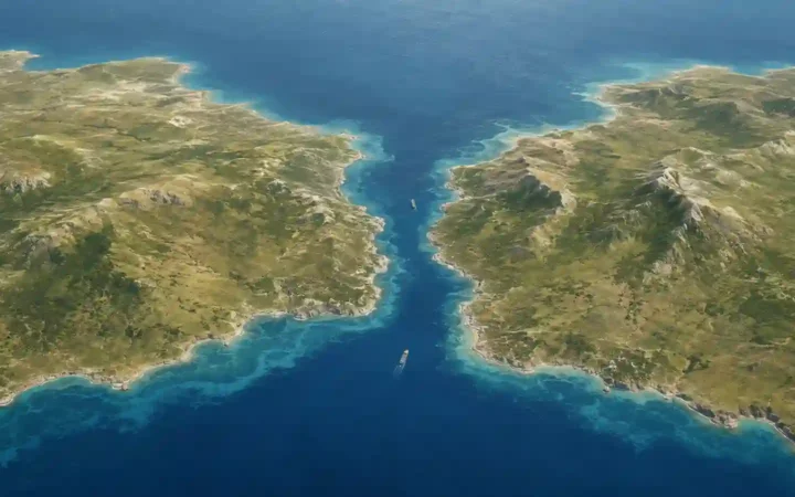
The Pacific contains more than 25,000 islands—more than any other ocean—particularly concentrated in the tropics. Major island groups include Melanesia, Micronesia, and Polynesia. The western and northern margins host many semi-enclosed seas (like the Philippine Sea and the Sea of Japan), while the eastern side features long, relatively straight continental margins along the Americas.
Basins, Margins, and Boundaries
Geographers often divide the Pacific into the North and South Pacific basins, separated by the equatorial current systems. Boundaries vary by convention, but in the south the limit is increasingly defined by the Southern Ocean; in the north, the Bering Strait connects the Pacific to the Arctic. On the west, continental shelves punctuate the edge of Asia and Australia; on the east, narrow shelves border the Americas before dropping into deep abyssal plains.
| Metric | Value |
|---|---|
| Area | ≈63.8 million sq mi (≈165.2 million km²) |
| Share of Earth’s Surface | ≈32% |
| Average Depth | ≈13,100 ft (≈4,000 m) |
| Deepest Point | Challenger Deep, ≈35,800–36,000 ft (≈10,900–10,970 m) |
| Estimated Volume | ≈170 million cubic mi (≈710 million km³) |
| Number of Islands | >25,000 |
Plate Tectonics and the Pacific “Ring of Fire”
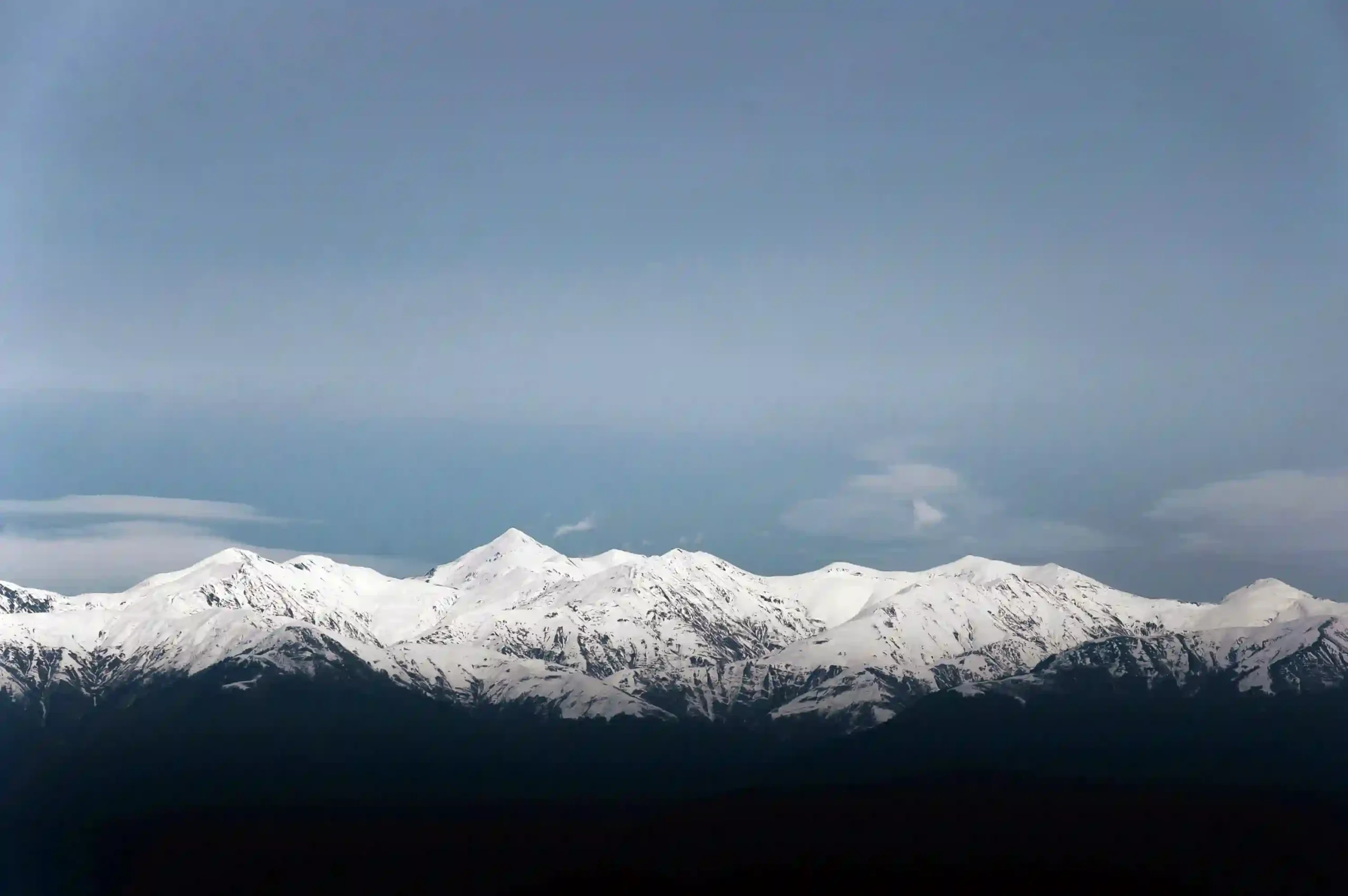
The Pacific is rimmed by the “Ring of Fire,” a sweeping arc of subduction zones and transform faults that drive frequent earthquakes and volcanism. Oceanic plates, notably the Pacific Plate, dive beneath continental and island-arc plates along deep trenches. This tectonic engine builds island chains, shapes coastlines, and releases enormous geologic energy.
Trenches like the Mariana, Tonga, and Japan trenches mark sites where old oceanic crust sinks back into the mantle. Above these subduction zones, volcanic arcs—including the Andes, Cascades, Aleutians, and numerous arcs in the western Pacific—form as magma rises. Seamount chains such as the Hawaiian–Emperor chain reveal the track of plates over stationary mantle plumes.
Trenches, Seamounts, and Island Arcs
Trenches can exceed 10 km in depth and run thousands of kilometers along continental margins. Seamounts—underwater volcanoes—dot the abyssal plain by the tens of thousands; many never break the surface, but some evolve into islands or atolls over geologic time. Island arcs (e.g., the Kurils and the Solomon Islands) are strings of volcanic islands that trace subduction boundaries.
Ocean Circulation and Climate Influence
The Pacific is a climate powerhouse. Wind-driven gyres and density-driven deep circulation transport heat, carbon, and nutrients across entire hemispheres. The western Pacific Warm Pool stores an enormous amount of heat, while cold eastern boundary currents like the California and Humboldt currents bring nutrient-rich waters to the surface, fueling fisheries.
A defining Pacific phenomenon is the El Niño–Southern Oscillation (ENSO), which swings between warm (El Niño), neutral, and cool (La Niña) phases every 2–7 years. ENSO shifts rainfall patterns, alters storm tracks, and can affect harvests and fish stocks from Peru to Indonesia.
El Niño–Southern Oscillation (ENSO)
During El Niño, unusually warm water spreads eastward along the equator, weakening upwelling off South America and altering atmospheric circulation. La Niña intensifies trade winds and promotes stronger upwelling, often bringing cooler, nutrient-rich water to the eastern Pacific. These phases ripple through weather systems worldwide.
Major Surface Currents and Gyres
In the North Pacific, the Kuroshio Current flows poleward along Japan before feeding the North Pacific Current and the California Current down the American west coast. In the South Pacific, the East Australian Current and the Peru (Humboldt) Current frame the South Pacific Gyre. Equatorial currents and countercurrents shuttle heat and momentum across the basin.
Life and Ecosystems
The Pacific hosts everything from sunlit coral reefs to pitch-dark trenches. Tropical shelves and archipelagos teem with corals, reef fish, sea turtles, and sharks. Far offshore, drifting plankton blooms power food webs supporting tuna, whales, and seabirds. In the deep sea, organisms survive by consuming falling organic “marine snow” or by tapping chemical energy at hydrothermal vents.
Biodiversity hotspots include the Coral Triangle (Indonesia, the Philippines, Malaysia, Papua New Guinea, Timor-Leste, and Solomon Islands), home to the world’s richest coral and reef-fish diversity. Temperate kelp forests along the North Pacific and vast seagrass meadows in protected bays provide nursery habitat and store “blue carbon,” locking carbon in marine plants and sediments.
Coral Triangle and Tropical Reefs
Warm, clear, nutrient-poor waters favor corals that host symbiotic algae. This partnership fuels high productivity and supports coastal livelihoods through fisheries and tourism. However, reefs are sensitive to temperature spikes and acidification, and recovery can take decades after severe bleaching.
Open-Ocean and Deep-Sea Biodiversity
Pelagic zones support large migratory species—tunas, billfishes, and whales—that track temperature fronts and prey. In the hadal zones of trenches, pressure-adapted creatures thrive in perpetual dark. Hydrothermal vents sustain unique communities based on chemosynthesis rather than sunlight.
Human Use and Economy
The Pacific underpins global trade. Trans-Pacific shipping routes connect East Asia, Oceania, and the Americas, moving consumer goods, raw materials, and energy. Submarine fiber-optic cables stitched across the basin carry much of the world’s internet traffic, enabling near-instant communication between continents.
Fisheries are vital to food security and employment across Pacific Rim and island nations. The basin supplies more than half of global marine capture production, including tunas, small pelagics, and demersal species. Effective management—such as catch limits, seasonal closures, and monitoring—is crucial to sustain stocks.
Fisheries and Food Security
Pacific small island developing states (SIDS) rely heavily on tuna and reef fisheries for protein and revenue. Regional fisheries management organizations (RFMOs) coordinate conservation across national boundaries. Combating illegal, unreported, and unregulated (IUU) fishing remains a key priority.
Shipping Lanes and Subsea Cables
Major lanes cross the North Pacific between East Asian ports and the U.S. West Coast and continue through the Panama Canal to the Atlantic. Dense networks of subsea cables land at hubs like Japan, Singapore, California, and Chile, reinforcing the Pacific’s role in the digital economy.
Environmental Challenges
Rapid ocean warming, acidification, and sea level rise are reshaping Pacific coasts and ecosystems. Warmer waters can drive coral bleaching, shift species ranges, and intensify marine heatwaves. As seawater absorbs more CO₂, pH decreases, weakening the ability of corals and shell-forming organisms to build skeletons.
Plastic pollution is a basin-wide problem. The North Pacific’s subtropical gyre traps floating debris in the so-called Great Pacific Garbage Patch, a broad area with high concentrations of microplastics and discarded gear. Cleanup must be paired with prevention on land and at sea. For background on gyres and debris dynamics, NOAA’s currents and marine debris resources are helpful.
Ocean Warming, Acidification, and Sea Level Rise
Since the 1990s, satellite and float observations show strong heat uptake by the upper Pacific. Acidification progresses as dissolved CO₂ forms carbonic acid, reducing carbonate ions. Sea level rise varies regionally due to winds, currents, and gravity fields, with many low-lying atolls facing increased flooding and erosion.
Plastic Pollution and the Great Pacific Garbage Patch
Floating plastics accumulate where converging currents down-welling weakly retain debris. Most plastics fragment into microplastics that can be ingested by marine life. Solutions include extended producer responsibility, improved waste systems, fishing-gear recovery, and international cooperation.
History and Exploration
Long before European voyages, Indigenous navigators crisscrossed the Pacific using star paths, swells, seabird behavior, and cloud clues to find islands separated by thousands of kilometers. Polynesian wayfinding stands as one of humanity’s greatest navigational achievements.
European contact accelerated after Ferdinand Magellan’s expedition named the sea “Mar Pacífico” (“peaceful sea”) in 1520–1521. Later, scientific voyages charted currents, temperatures, and bathymetry, culminating in global programs of the 20th and 21st centuries. For historical and scientific context on Pacific discovery and mapping, NOAA’s education archive and NASA’s climate resources (linked above) are good starting points.
FAQ
How big is the Pacific Ocean compared to all land?
The Pacific’s area (≈165.2 million km² / 63.8 million sq mi) is larger than all the world’s land combined (≈148.9 million km²). It covers about one-third of Earth’s surface.
Where is the deepest point in the Pacific?
The Challenger Deep in the Mariana Trench is the deepest known point, approaching ~10,900–10,970 meters (≈35,800–36,000 feet), depending on survey methods and corrections.
What is ENSO and why does it matter?
ENSO is a recurring Pacific climate pattern (El Niño/La Niña) that shifts rainfall and temperatures globally, influencing storms, droughts, harvests, and fisheries every 2–7 years.
How many islands are in the Pacific?
More than 25,000 islands lie within the Pacific, many in the tropical western Pacific. They include the archipelagos of Melanesia, Micronesia, and Polynesia.
Which industries depend most on the Pacific?
Marine fisheries, shipping, tourism, and seabed telecommunications are key sectors. Many Pacific nations rely on tuna fisheries for revenue and food security.
Is the Great Pacific Garbage Patch a solid island of trash?
No. It’s a region with elevated concentrations of floating debris and microplastics within the North Pacific gyre, not a continuous, walkable “island.”
What Did We Learn Today?
- The Pacific Ocean spans ≈165.2 million km² (≈63.8 million sq mi)—about one-third of Earth’s surface.
- Its tectonic “Ring of Fire” drives frequent quakes, volcanism, and the formation of trenches and island arcs.
- Currents and ENSO make the Pacific a global climate engine that shifts weather worldwide.
- It contains extraordinary biodiversity—from Coral Triangle reefs to deep-sea vents—and supports major fisheries.
- Pressures include warming, acidification, sea level rise, and plastic pollution, requiring international action.