The letters NE can name a state in an address or abbreviate a compass direction or region elsewhere. Nebraska and the northeastern United States are not two names for the same place, so the context must come first.
NE is the USPS abbreviation for Nebraska, whose capital is Lincoln. Nebraska is an inland state in the Census Midwest region and West North Central division. “NE” can also abbreviate northeast in other contexts, but the Northeast is a multi-state region, not Nebraska. A postal address and a regional map therefore require different interpretations.
How to use this article: interpret the abbreviation, compare Nebraska and the Northeast, read the landscape.
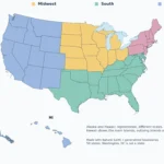
Use the US states map and capital table to compare state abbreviations, or the Census regions and divisions map to check regional classifications.
Maps fit the screen by default. Select 2× or 4× for details, swipe or scroll within the map, and choose Fit / Reset for the full view.
1. What Does NE Stand For?
Interpret the abbreviation
| Context | Meaning | What to check |
|---|---|---|
| US mailing address | Nebraska | City name and ZIP Code |
| Compass or direction | Northeast | The map legend or directional notation |
| Regional discussion | Possibly Northeast | The source’s membership definition |
In a US address, NE means Nebraska. In “NE corner,” it commonly indicates a direction. In a regional dataset, it may stand for Northeast, but only if the dataset defines it that way. Neither the letters themselves nor the fact that they occur in a geography search settles the intended meaning.
The distinction prevents two errors: placing Nebraska in the northeastern United States, and treating the entire Northeast as though it were one state with a single capital. Use the context table before interpreting an unfamiliar abbreviation.
2. Nebraska on a US Map
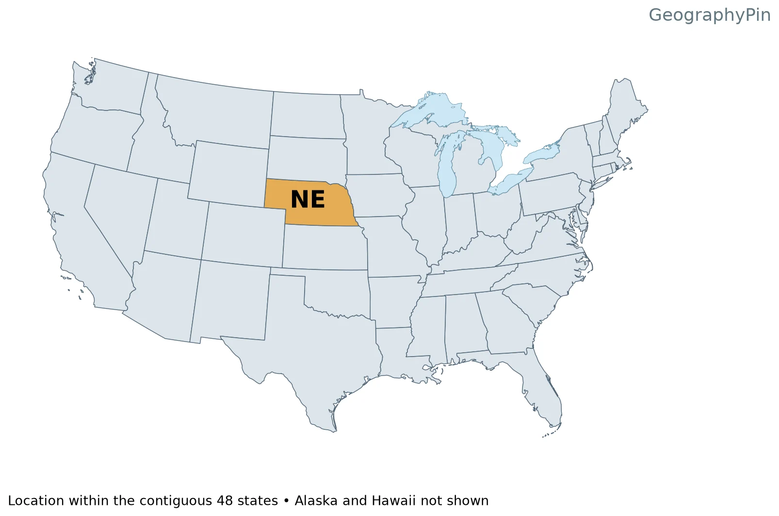
Nebraska lies in the central United States, well away from either ocean coast. Its broad plains setting is compatible with its Census Midwest classification. “Great Plains” is a physical-geographic description; “Midwest” here is a statistical grouping. The labels are not competing state names.
3. Nebraska Versus the Northeast
Compare Nebraska and the Northeast
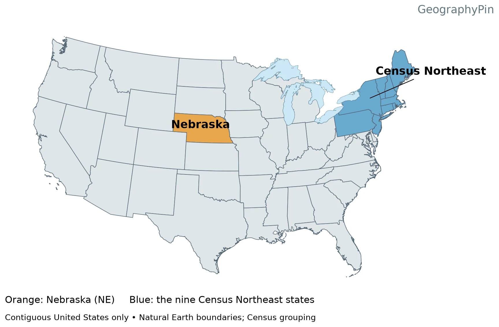
Under the Census framework, the Northeast comprises Connecticut, Maine, Massachusetts, New Hampshire, Rhode Island, Vermont, New Jersey, New York and Pennsylvania. Nebraska is not on that list. It belongs to the West North Central division of the Midwest instead.
New England is narrower still: it consists of the six northeastern states in the first part of that list, without New Jersey, New York or Pennsylvania. Spell out the regional name when there is any possibility that readers will confuse it with Nebraska’s postal code.
4. Lincoln and Nebraska’s Six Neighbors
Lincoln is Nebraska’s capital. The six bordering states are South Dakota, Iowa, Missouri, Kansas, Colorado and Wyoming, as listed in the Census geographic guide. South Dakota lies north, Kansas south, Wyoming west, Colorado southwest, and Iowa and Missouri east.
The Missouri River follows much of Nebraska’s eastern edge. A river boundary does not mean every modern channel bend is a simple legal dividing line. The generalized map helps identify neighbors; it is not a substitute for a surveyed boundary dataset.
5. Plains, Rivers and the Sandhills
Read the landscape
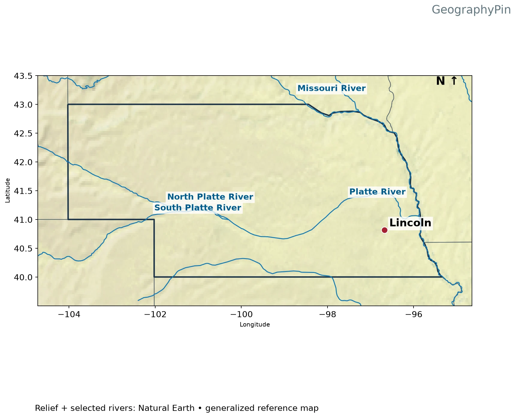
The Platte River system provides a useful east–west reference across Nebraska, while the Missouri River connects the state’s eastern margin with a much larger drainage network. A label for the Missouri River should not be confused with the neighboring state of Missouri: one is a watercourse, the other a political unit.
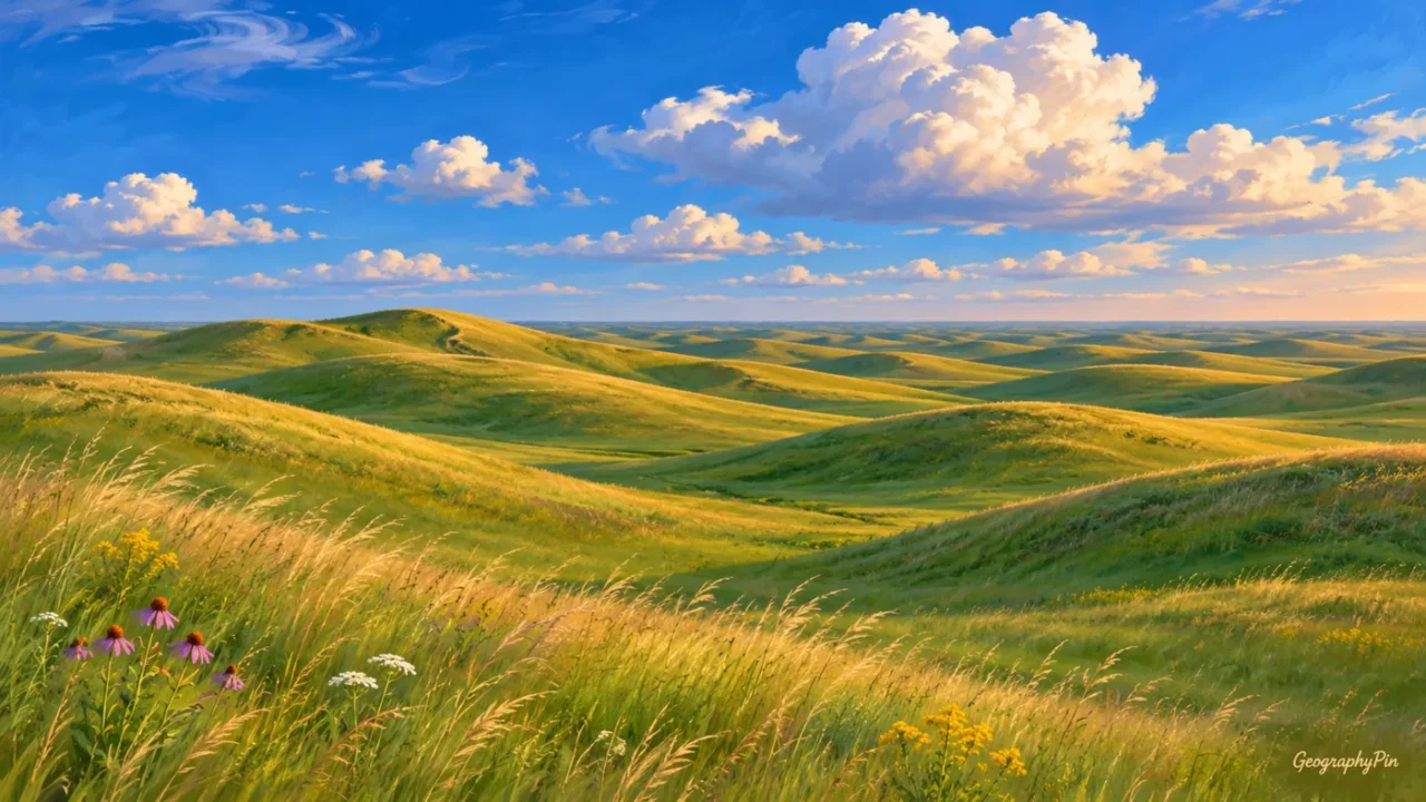
The Sandhills are a distinctive landscape of grass-covered sand dunes in north-central Nebraska. Nebraska Game and Parks describes their dune and wetland habitats. They are not simply a flat agricultural plain, and “sand” does not mean that the landscape must resemble a bare desert.
Statewide relief also changes toward the west. Local hills, valleys and river corridors make a single flat rectangle an inadequate physical picture. The outline is political; the relief and drainage patterns explain why different parts of the same state can look quite different.
Frequently Asked Questions
Does the Sandhills name mean Nebraska is a bare-sand desert?
No. The Sandhills are a landscape of grass-covered sand dunes with associated wetlands. The name describes their sandy landforms, not a uniformly bare desert surface.
What Did We Learn Today?
NE means Nebraska in a postal address, but northeast can describe a direction or a different multi-state region. Lincoln, the six neighboring states, the Platte and Missouri rivers and the Sandhills provide the geographic context behind the abbreviation. None places Nebraska in the Census Northeast.
Sources & Data Notes
Original maps use public-domain Natural Earth state boundaries, shaded relief, populated-place points and selected river centerlines. They are generalized geographic references, not navigation charts or legal boundary surveys. Relief colors do not constitute a numeric elevation scale. A capital is marked with a red point; only selected rivers are shown. Locator maps show the contiguous 48 states, omitting Alaska and Hawaii.
Great Lakes water is separated from state land using Natural Earth lake polygons. Administrative lake jurisdiction is not shown as dry land; state counts and Census membership are unchanged.