Countries & regions
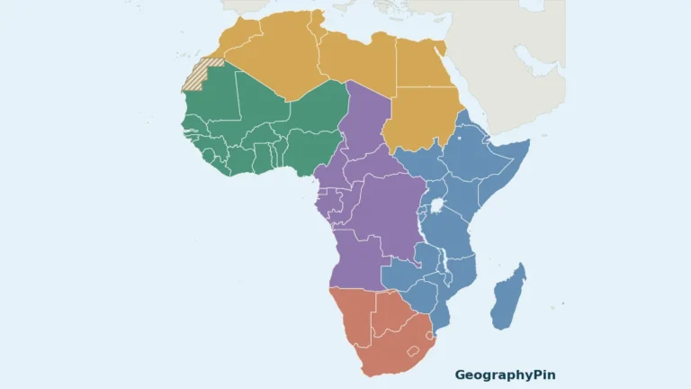
Africa Map: 54 Countries, Regional Sheets and Blank PDFs
A single Africa map can become unreadable when every small country and island is squeezed into one image. This atlas uses a continent overview…
Read articleFollow an interest
Understand people, settlements and the ways societies organize space.
Countries & regions
A single Africa map can become unreadable when every small country and island is squeezed into one image. This atlas uses a continent overview…
Read article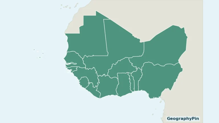
Countries & regions
West Africa contains both a long Atlantic coastline and countries far inland. A useful regional map must also show Cabo Verde rather than treating…
Read article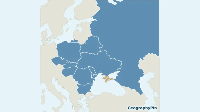
Countries & regions
An Eastern Europe list is only useful when its boundaries are explained. This map uses the United Nations statistical grouping, so you can match…
Read article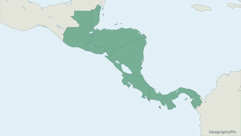
Cities & capitals
Central America has a familiar seven-country list, but statistical sources can show eight. The paired maps make that difference visible before you compare the…
Read article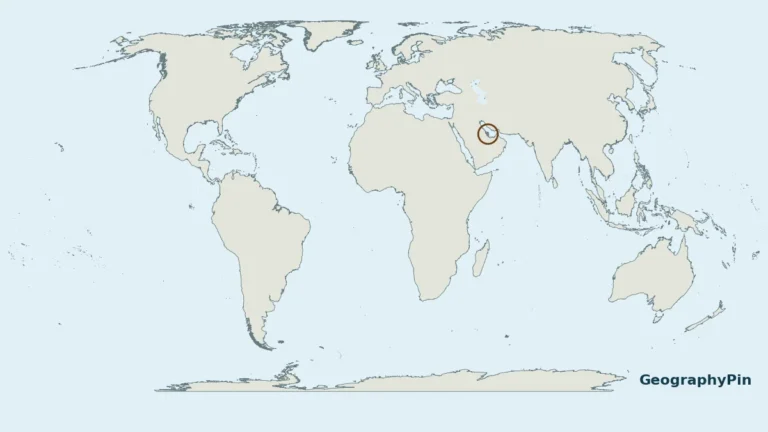
Doha · Countries & regions
Qatar is a country on a small peninsula in Western Asia. The key to its location is the land connection with Saudi Arabia and…
Read article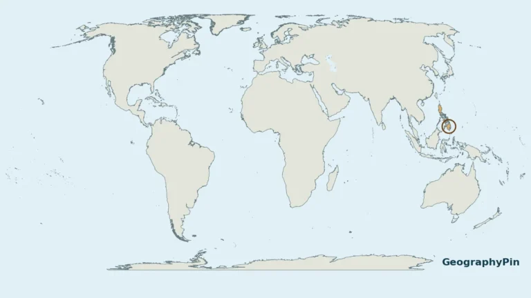
the Philippines · Islands
The Philippines is an island country in Southeast Asia. A world locator shows the broad setting; the close-up makes its island groups and surrounding…
Read article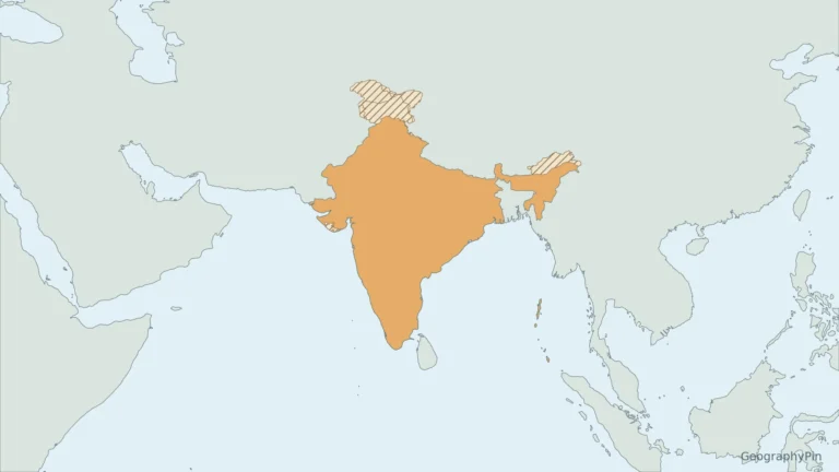
India · Countries & regions
Yes. India is part of Asia; the confusion usually comes from the terms “Indian subcontinent” and “Indian Plate,” which describe different things.
Read article
Nebraska · Borders
The letters NE can name a state in an address or abbreviate a compass direction or region elsewhere. Nebraska and the northeastern United States…
Read article
Maryland · Maps & geography skills
Maryland’s narrow western extension and Chesapeake coastline can make it harder to recognize than a compact state outline. Its proximity to Washington, DC creates…
Read article
Oregon · Maps & geography skills
In an address, OR identifies Oregon rather than the everyday connecting word “or.” A map reveals another distinction: the state’s Pacific coast and mountain…
Read article
New Mexico · Maps & geography skills
New Mexico is a US state, not another name for the country of Mexico. Its location combines an international border, a four-state corner and…
Read article
Colorado · Maps & geography skills
Colorado is often pictured as a wall of snowy peaks, but that image leaves out its eastern plains and western plateaus. The postal code…
Read article