England’s geography is easier to understand as a collection of contrasting landscapes than as one lowland plain around London. Northern uplands, eastern farming country and densely settled valleys reveal different relationships between terrain and everyday life. Reading those contrasts within England’s own boundary also prevents a familiar mistake: treating an England map as a map of the whole United Kingdom.
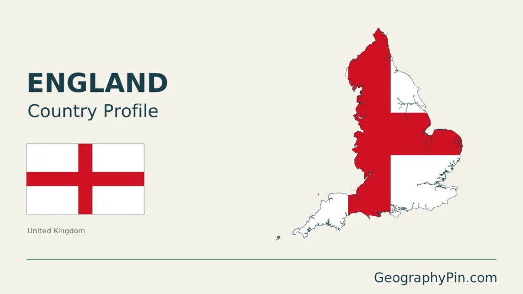
England is a constituent country of the United Kingdom, occupying the southern and central part of Great Britain with associated offshore islands. Its landscapes include the Pennines, the Lake District, eastern lowlands and southern hills. London is its capital, but England is neither the whole UK nor the whole island of Great Britain.
How to use this article: Locate England within Britain, read the terrain, or follow eastern lowlands.
1. Locate England Within Britain
One constituent country, not the whole state
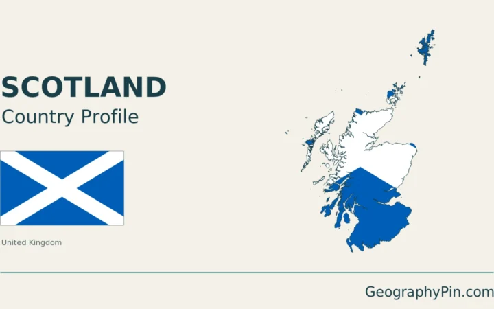
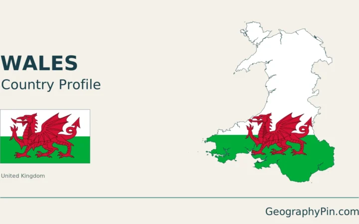
Scotland lies to England’s north and Wales to its west. The North Sea borders the eastern side, while the English Channel separates southern England from France. These geographical relationships do not make the England–Scotland or England–Wales boundaries international frontiers between sovereign states.
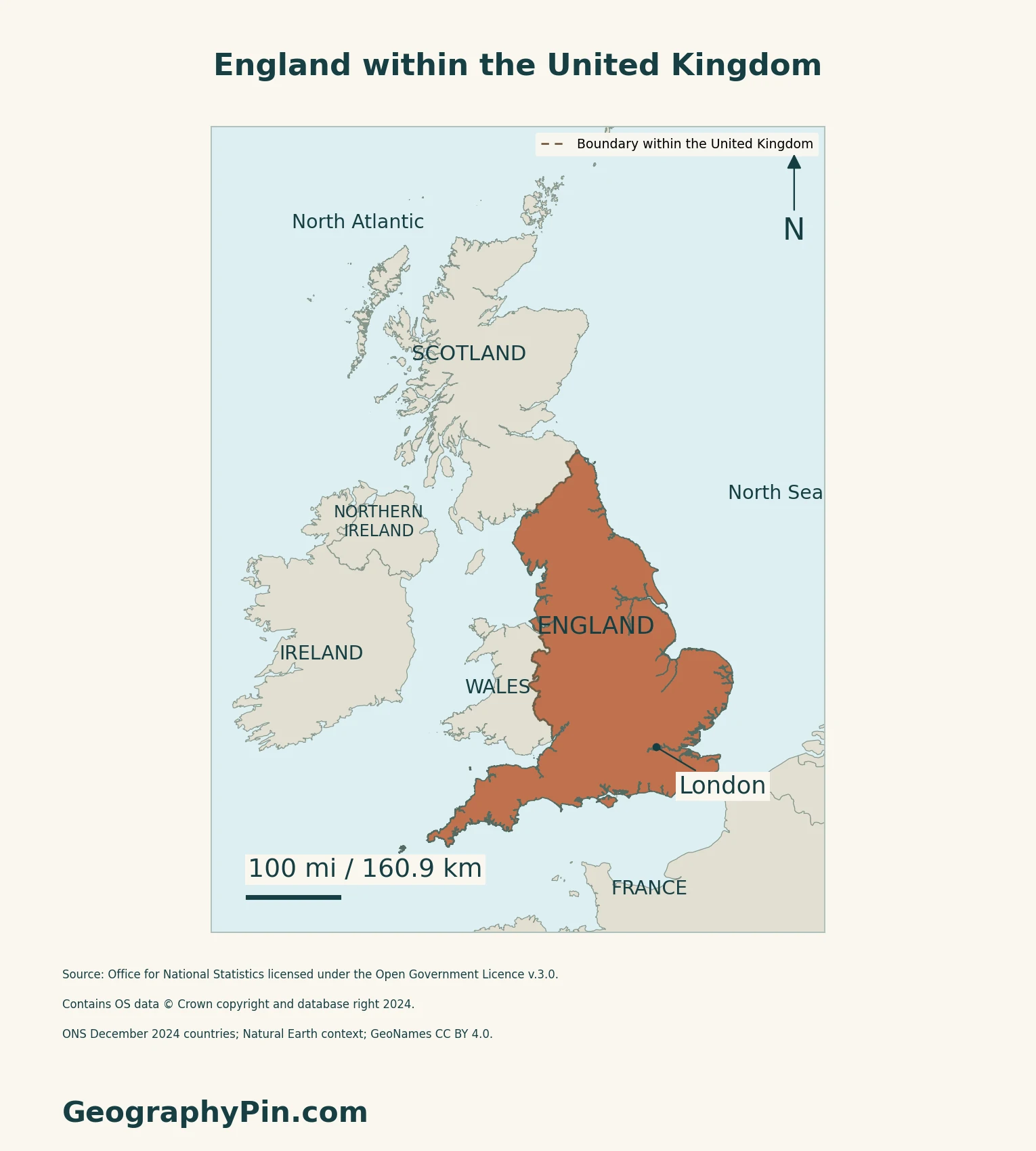
The United Kingdom profile provides the state-wide map and national context. The separate UK, Great Britain and England comparison explains the overlapping names; this article instead examines England’s landscapes and England-only statistics.
Landscape regions do not follow every administrative line
A political map establishes which land belongs to England. A landscape map asks a different question: how do hills, valleys, lowlands and coasts fit together? Natural England’s National Character Areas combine geology, wildlife, land use and historical activity, with boundaries that follow landscape patterns rather than county or district limits.
The original physical map below supplies a broad terrain framework, not a reproduction of that detailed classification. Its landform labels identify representative places; they should not be read as surveyed outlines of entire regions.
2. Compare Uplands and Eastern Lowlands
Pennine ridges and Lake District valleys
The Pennines form an important northern upland reference. Natural England describes the Southern Pennines, between the Peak District and Yorkshire Dales, as a mixture of broad moorlands, enclosed pastures and settlements in narrow valleys. It is not an empty mountain barrier: the same landscape contains reservoirs serving nearby urban areas.
The Lake District provides a different upland pattern. Its national park authority explains how folded and uplifted rocks were subsequently shaped by glaciers and meltwater, producing steep ridges and U-shaped valleys. Those glacial forms remain part of the present landscape; the mountains are not active volcanoes merely because some of their resistant rocks have volcanic origins.
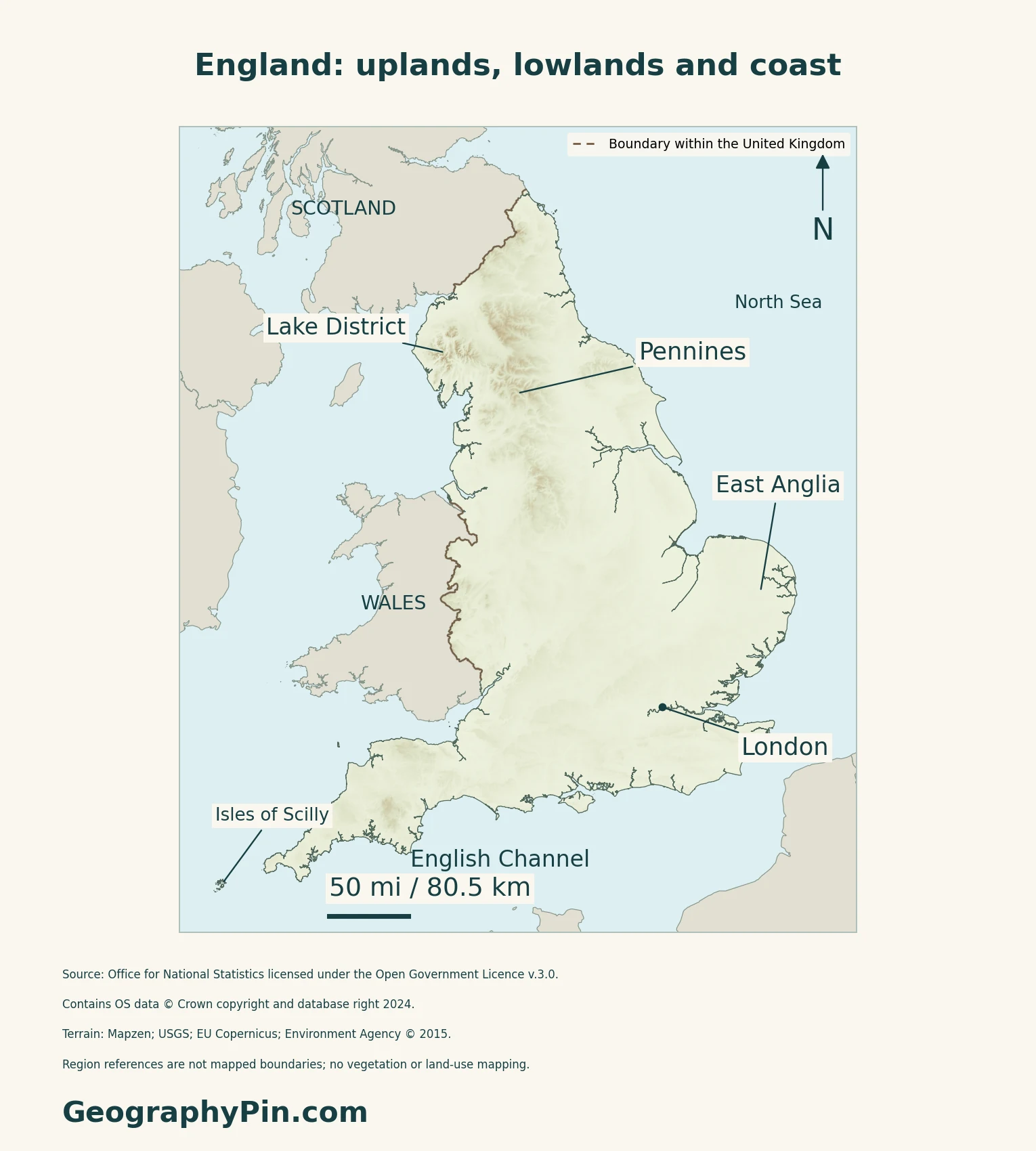
East Anglia is varied lowland country
The British Geological Survey describes East Anglia as relatively flat to rolling agricultural country. That is a useful contrast with the northern uplands, but “lowland” does not mean featureless. Its regional summaries distinguish plains, ridges and other raised ground across eastern England.
The Fens offer a more specific example: a low, open landscape associated with the Wash, shaped by both natural wetland history and human drainage. Natural England’s description identifies the Witham, Welland, Nene and Great Ouse as major rivers carrying water across it, often through engineered channels. This is one eastern landscape, not a definition of all East Anglia.
3. Connect Weather, Water and Settlement
Exposure changes over relatively short distances
The Met Office places Britain in the Atlantic westerly-wind belt and stresses how topography, coastlines and land use affect regional weather. Its broad pattern is generally wetter and more exposed conditions toward the west and north, with drier conditions more frequent toward the east and south.
Uplands and lowlands both support working landscapes
The Southern Pennines show how towns, water supply and recreation can connect with uplands rather than sit wholly apart from them. In the Fens, farming and settlements depend on a heavily managed water landscape.
4. Check Status and Dated Facts
| Item | Reference |
|---|---|
| Status | Constituent country of the United Kingdom |
| Capital | London, also the UK capital |
| Population estimate | 58,834,800 usual residents at mid-2025; ONS series released October 1, 2026 |
| Land area reference | About 130,313 km² (50,314 sq mi), ONS December 2024 geography; inland water excluded |
| Language | English: de facto official, rather than an explicit general statutory designation |
| Currency | Pound sterling (£, GBP) |
An estimate of residents, not nationality
The ONS figure covers England alone, not England and Wales together or the whole UK. Usual residence includes people living, or intending to live, in the country for at least twelve months regardless of nationality. It is not a worldwide count of English ancestry. The mid-year series updates a census base using population changes and is subject to revision; it is not a new census.
Keep the geographic unit consistent
England is a constituent country within the UK, not an additional sovereign state. Its land-area figure uses the ONS mean-high-water boundary and excludes inland water. That measurement is different from an area including water, and neither is calculated from the generalized outline on this page.
What Did We Learn Today?
England’s boundary, landscape regions and statistical coverage describe different things. Upland valleys and managed lowlands both connect physical geography with human activity, without making England a synonym for the whole UK.
Sources & Data Notes
Sources, dates and map conventions
Population follows the ONS England-only mid-2025 usual-resident series published in October 2026, not a census or the UK total. Area comes from the original ONS December 2024 country data service: hectares converted to square kilometres and square miles, rounded, with inland water excluded. Language wording follows PCGN guidance rather than treating English as an explicitly designated statutory official language. Landscape explanations use directly read BGS regional-summary landing material, Natural England’s current Southern Pennines and Fens profiles, and the Lake District National Park authority. The linked BGS report download pages did not provide report text in this retrieval, so no claim relies on having read those PDFs. National Character Areas are landscape units, not administrative boundaries. The Met Office overview supports general regional mechanisms; its linked regional descriptions refer to 1981–2010, and no numerical climate normal or current-weather claim is reproduced here. England-only facts are not UK totals.
- ONS: mid-2025 population estimates, released October 1, 2026
- ONS ENPOP: England usual-resident population series
- ONS: December 2024 country area measurements and definitions
- ONS: original country area data service
- UK Parliament: England and its regions
- UK PCGN: toponymic guidelines, language and constituent-country terminology
- Visit London official visitor guide: capital and UK currency
- British Geological Survey: regional geological summaries
- Natural England: Southern Pennines
- Natural England: The Fens description
- Defra: National Character Areas and landscape boundaries
- Lake District National Park: geology and geomorphology
- Met Office: UK regional climates and reference-period caveat
Original body maps use ONS December 2024 country boundaries, generalized to 20 metres and clipped to Mean High Water. The map includes the Isle of Wight and Isles of Scilly; very small features may not resolve at display scale. Dashed shared boundaries distinguish England from Wales and Scotland within the UK, not sovereign states. No county, national-park or landform boundaries are drawn. Source: Office for National Statistics licensed under the Open Government Licence v.3.0. Contains OS data © Crown copyright and database right 2024. Regional context uses Natural Earth countries 5.1.1 (public domain); place references use GeoNames (CC BY 4.0).
Qualitative relief comes from Mapzen terrain tiles: United Kingdom terrain data © Environment Agency copyright and/or database right 2015, all rights reserved; Europe terrain produced using Copernicus data and information funded by the European Union, EU-DEM layers; global SRTM and GMTED2010 courtesy of USGS. The maps retain negative elevation samples inland rather than treating all below-sea-level land as invalid. Some unreliable coastal elevation values are omitted; inland elevation anomalies may remain. No measured heights, vegetation or land-use classes are inferred. Web Mercator maps use local WGS84 geodesic scale bars; regional labels are geographic references, not surveyed extents.
Cover outline: ONS Countries (December 2024) Boundaries UK BGC. Source: Office for National Statistics licensed under the Open Government Licence v.3.0. Contains OS data © Crown copyright and database right 2026.