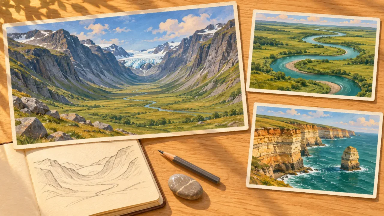
This geomorphology quiz tests how well you understand the processes that shape landforms, from weathering and landslides to rivers, dunes, coasts and glacial valleys. Answer 24 multiple-choice questions, learn from each explanation, and finish with a score out of 24.
The challenge focuses on reading landscapes and connecting causes with results. There is no timer, and you do not need to memorize mountain heights, river records or place names.
Can you explain how landscapes take shape?
24 questions · No timer · One point per correct answer
Easy, Medium and Hard are relative editorial difficulty levels for general geography learners, not standardized ratings. Every correct answer earns one point.
Choose an answer, then open “Show answer” to check it yourself. Interactive scoring appears when JavaScript is available.
Choose one answer, select Check answer, then continue to the next question.
Your Geomorphology quiz result
Easy
Show answer
Correct answer: Explaining how a valley’s shape developed.
Geomorphology studies landforms and the processes that shape them. A valley’s form, sediment and history are central evidence, rather than simply its name or location.
Easy
Show answer
Correct answer: Weathering.
Weathering breaks down or alters rock in place. When water, wind or ice carries the fragments away, transport and erosion are also involved.
Easy
Show answer
Correct answer: Mechanical weathering.
Frost action can break rock physically without changing the mineral composition of each fragment. The question describes one mechanical weathering process, not every way ice can fracture rock.
Medium
Show answer
Correct answer: The caprock slows erosion of the material beneath it.
Different rock layers resist weathering and erosion differently. A resistant upper layer can protect underlying material for a time, leaving a remnant as surrounding ground is removed.
Medium
Show answer
Correct answer: Down-dropped basins beside fault-block mountains.
Extension can move crustal blocks vertically relative to one another along normal faults. Lowered basins and adjacent mountain blocks produce relief that erosion later modifies.
Medium
Show answer
Correct answer: Soil creep.
Creep is very slow downslope movement of soil or rock. Tilted posts or bent fences may be clues, but measurements and the wider slope context are stronger evidence than one leaning object.
Medium
Show answer
Correct answer: A rotational slide, or slump.
A slump rotates along a curved failure surface. A translational slide instead moves along a more nearly planar surface, while falls and flows involve different styles of movement.
Hard
Show answer
Correct answer: It can reduce the soil’s resistance to shearing.
Water pressure within soil can reduce resistance to sliding. This is one reason heavy rainfall or snowmelt can trigger failure on a susceptible slope; rainfall does not make every slope fail.
Medium
Show answer
Correct answer: Natural levees.
Natural levees build as overbank floods deposit sediment close to the river channel. They are depositional features, unlike terraces left above a river after downcutting.
Easy
Show answer
Correct answer: Erosion on the outer bank and deposition on the inner bank.
The outer bend commonly develops an eroding cut bank, while the inner bend accumulates a point bar. This paired erosion and deposition helps a meander migrate.
Medium
Show answer
Correct answer: An oxbow lake.
A cutoff gives the river a shorter route and can isolate the former bend as an oxbow lake. The abandoned loop may gradually fill with sediment.
Hard
Show answer
Correct answer: A river terrace.
A terrace can preserve an abandoned floodplain after river incision. Its elevation records an earlier valley-floor position; terrace formation does not have just one universal cause.
Hard
Show answer
Correct answer: A fall in the river’s base level or uplift of the land.
Base level is the lower limit toward which a river can cut. Lowering that level, or raising the land relative to it, can renew incision and deepen existing bends. The response also depends on flow, sediment and rock resistance.
Medium
Show answer
Correct answer: River sediment accumulates faster than waves and currents remove it.
A delta grows as river sediment remains and builds up at the mouth. Waves and currents can remove or redistribute that material, so the balance between supply and removal matters.
Easy
Show answer
Correct answer: Dissolution by slightly acidic water.
Water containing weak acids can dissolve calcium carbonate in limestone and enlarge cracks and openings. Karst is shaped by this chemical process, although other processes can modify it too.
Medium
Show answer
Correct answer: Water travels through connected underground openings.
Dissolution can enlarge fractures into connected passages that carry water underground. A surface map alone may miss these connections; a particular stream-to-spring connection requires evidence such as tracing.
Medium
Show answer
Correct answer: Deflation.
Deflation is the removal of loose surface material by wind. It differs from abrasion, in which particles carried by wind wear against a rock surface.
Medium
Show answer
Correct answer: Loess.
Loess is a windblown, silt-rich deposit. It should not be confused with a sand dune or the unsorted mixture deposited directly by glacier ice.
Medium
Show answer
Correct answer: Sand arriving over the crest cascades down it.
Wind moves sand toward and over the crest. When accumulated grains become unstable, they slide down the sheltered slip face, helping the dune advance and leaving inclined layers.
Medium
Show answer
Correct answer: Net transport along the shore.
Oblique wave approach can drive longshore currents and sediment transport parallel to the coast. Direction and rate depend on the wave conditions and shoreline configuration.
Hard
Show answer
Correct answer: Sand builds up west of the groin while erosion increases to the east.
Here the western beach is updrift and the eastern beach is downdrift. The groin retains sand on the western side, reducing the supply to the eastern beach and potentially increasing erosion there.
Medium
Show answer
Correct answer: A wave-cut platform.
Wave erosion can cut a relatively flat rock surface at the foot of a retreating cliff. A wave-cut platform is an erosional feature, not a pile of beach sediment.
Easy
Show answer
Correct answer: A broad U-shaped trough with steep sides.
A valley glacier can widen and deepen an earlier valley, producing a broad trough with steep sides. The characteristic U shape is a useful clue, but landscape history is checked with other evidence too.
Hard
Show answer
Correct answer: Till first, outwash second.
Till is deposited directly by glacier ice and mixes particle sizes. Meltwater carries and sorts sediment into outwash deposits. The transporting agent, not merely proximity to a glacier, separates the two.
Read the process, not just the shape
Each correct answer earns one point, with no penalty for a wrong answer. At the end, select Review answers to see every question and explanation, or Try again to replay the same set. The quiz does not save your score between visits.
- Separate the steps: ask whether rock broke down in place, moved downslope, was transported by water, wind or ice, or accumulated in a deposit.
- Follow the sediment: an eroding bank or cliff supplies material that may build a landform somewhere else. Interrupting that supply can change what happens farther along a river or coast.
- Combine the clues: shape, sediment and relative height help explain a landscape’s history. A terrace, a broad glacial trough or a sorted deposit tells part of the story, not necessarily all of it.
Explore real examples in our landforms and water explainers, then try the broader world geography quiz to mix physical concepts with places and map knowledge.
What Did We Learn Today?
Landforms record both the creation of relief and the movement of material across it. Rock resistance and faulting influence the starting landscape; weathering, slope movement, rivers, groundwater, wind, waves and glaciers reshape it. Following erosion, transport and deposition makes a river bend, a dune, a coastline or an abandoned valley floor easier to explain.
Sources & Data Notes
The questions test stable processes and landform interpretation rather than records or changing measurements. River and glacial forms are described as characteristic patterns, not universal rules. Slope failure, river incision and coastal change depend on local conditions; the questions state the conditions needed for one best answer. Difficulty labels are editorial guides, not standardized exam ratings.
- Scope and surface processes: British Society for Geomorphology: What is geomorphology?; National Park Service: Weathering; National Park Service: About: Erosion, Water, Wind & Weather.
- Rock and tectonic controls: National Park Service: Geology and Paleontology: Scotts Bluff; National Park Service: Tectonic Landforms and Mountain Building.
- Slope movement: U.S. Geological Survey: Creep; British Geological Survey: How to classify a landslide; Gerald F. Wieczorek and James B. Snyder / Geological Society of America, hosted by National Park Service: Monitoring Slope Movements.
- Rivers and sediment: National Park Service: River Systems and Fluvial Landforms; National Park Service: Fluvial Features—Meandering Stream; National Park Service: NPS Geodiversity Atlas: Aztec Ruins National Monument; National Park Service: NPS Geodiversity Atlas: Bighorn Canyon National Recreation Area; NOAA Office for Coastal Management: What Is an Estuary?.
- Karst landscapes: National Park Service: Cave / Karst Systems: Buffalo National River.
- Wind-shaped landscapes: National Park Service: Aeolian (Dunes) Landforms; National Park Service: Geology at Agate Fossil Beds.
- Coastal change: National Park Service: Coastal Processes—Sediment Transport and Deposition; National Park Service: Groins and Jetties; National Park Service: Webster Point Overlook.
- Glacial landforms and deposits: National Park Service: U-Shaped Valleys, Fjords, and Hanging Valleys; National Park Service: Glacier Terminology: Kenai Fjords.