A narrow blue passage on a map might be a natural opening between coasts or a route people built through land. Ships can use both, but the reason the passage exists is different.
A strait is a naturally formed narrow water passage connecting larger bodies of water. A canal is a human-made waterway, built for navigation, water transport or other purposes. The distinction is origin, not whether ships use it or whether it has locks. Suez is a canal without locks; Panama is a canal that uses them.
Start with your question: compare the defining features, see why Suez and Panama work differently, or check what “channel” tells you.
1. Strait vs Canal at a Glance
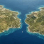
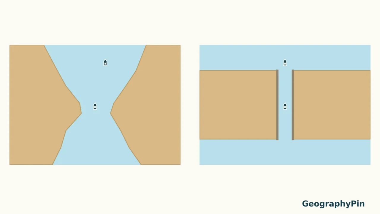
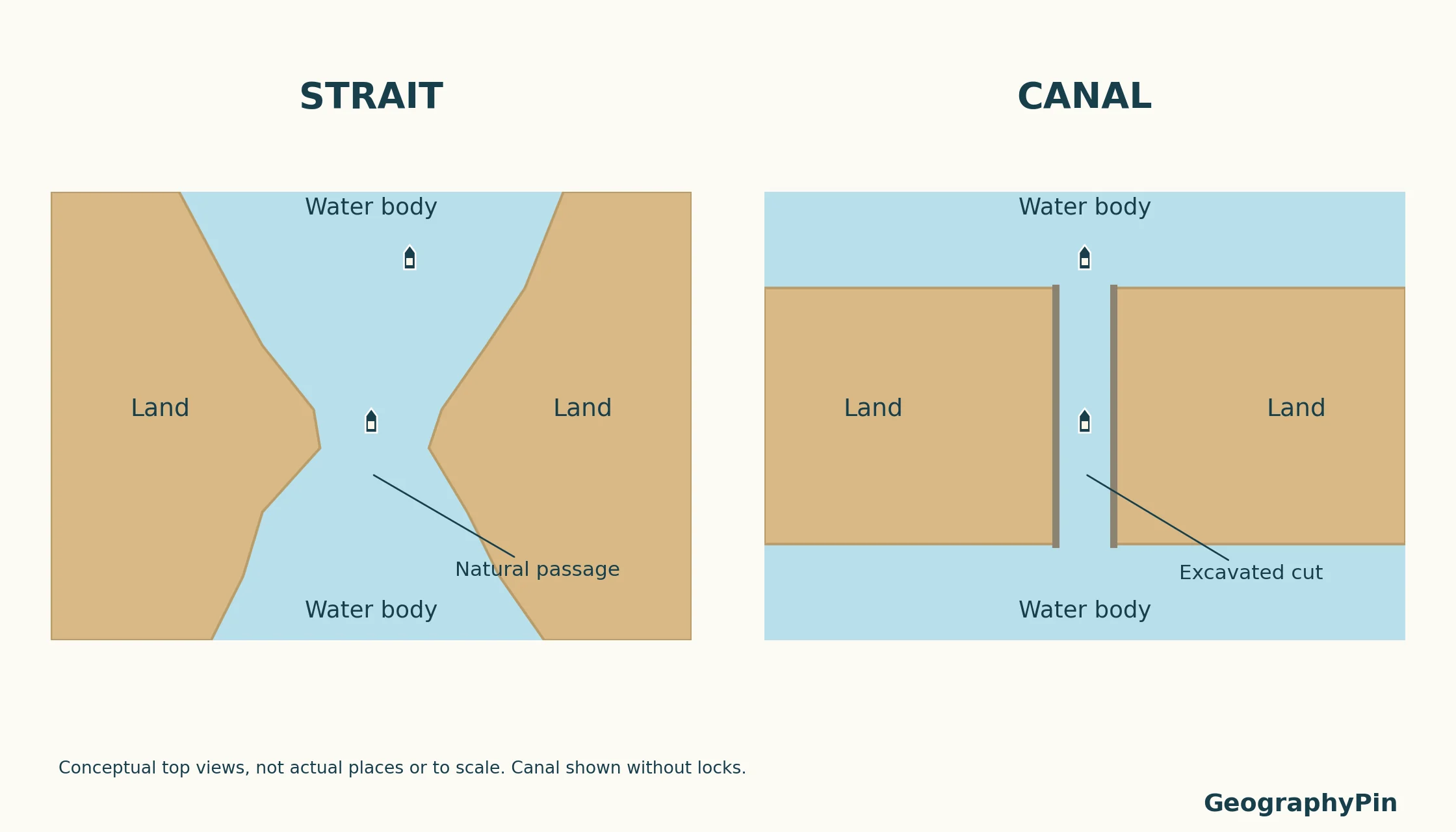
For formation and natural examples, see our strait explainer. Here, the comparison focuses on natural versus engineered routes and why locks are not the dividing line. The illustration separates two ideas that can look similar from above. The strait is an existing natural water connection between land areas. The canal is an engineered passage through land. These invented outlines explain the concepts; they do not represent the dimensions or layout of a real waterway.
Open the larger illustration · Download the printable comparison (PDF)
Compare origin, not appearance
| Question | Strait | Canal |
|---|---|---|
| How did the passage originate? | Naturally | Through human construction |
| What does the word describe? | A narrow water connection between larger water bodies | An engineered waterway; purposes include navigation and carrying water |
| Must ships use it? | No; shipping is not the defining feature | No; some canals primarily carry water rather than vessels |
| Are locks required? | They do not define a strait | No; canal design may or may not require them |
| Clear example | Strait of Gibraltar | Suez Canal |
Do not use “wide means strait, narrow means canal” as a rule. Nor does a straight-looking shoreline prove excavation. A map’s scale, simplification and labels can hide important details. Construction history is stronger evidence than the shape of a blue line.
2. Real Examples and What They Connect
Named examples make the distinction easier to apply. The connections below are geographic descriptions, not current navigation advice or promises about access.
| Waterway | Type | Connection |
|---|---|---|
| Strait of Gibraltar | Strait | Atlantic Ocean and Mediterranean Sea |
| Strait of Hormuz | Strait | Persian Gulf and Gulf of Oman |
| Bering Strait | Strait | Pacific and Arctic waters, between the Bering and Chukchi seas |
| Suez Canal | Canal | Mediterranean Sea and Red Sea, through the Gulf of Suez |
| Panama Canal | Canal | Atlantic and Pacific oceans across Panama |
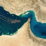
The Strait of Hormuz is a useful natural example because it forms the Persian Gulf’s narrow outlet. It was not excavated as a shipping shortcut. A modern vessel using a passage does not make that passage human-made.
Bering Strait also shows why these are more than transportation terms. NOAA describes water moving from the Pacific into the Arctic through this passage, carrying heat, freshwater and nutrients. A strait connects marine environments whether or not its shipping traffic is prominent in the news.
3. Why Some Canals Have Locks
Suez and Panama solve different elevation problems
The Suez Canal is a sea-level route. Ships do not climb a series of locks to cross it. “Sea level” is not a claim that the water surface is perfectly motionless or identical everywhere: the Suez Canal Authority describes tidal variation and small differences in water level along the canal.
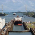
Panama follows a different design. Its locks lift vessels to the elevated Gatun Lake route and lower them again toward the other ocean. The Panama Canal Authority describes the lake level as about 85 feet (26 meters) above sea level. That figure describes the elevated route, not a claim that one ocean stands 85 feet above the other.
This is the important distinction: Panama’s locks allow ships to cross a higher inland waterway. Explaining them simply as a response to “different ocean heights” leaves out the terrain and lake route that make the system intelligible.
A lock changes the water level around the vessel
Think of a navigation lock as a chamber between water levels. To raise a vessel, the chamber initially matches the lower approach. The vessel enters, the gates close, and water fills the chamber until it matches the upper approach. The upper gates can then open. Lowering reverses the level change.
The vessel remains afloat as the surrounding water rises or falls; it is not mechanically lifted out of the water. This describes the basic principle, not instructions for operating a particular lock. Real facilities have their own gates, valves, controls and navigation procedures.
Locks can also appear along improved river navigation systems. Seeing a lock therefore does not prove that the entire waterway was originally excavated as a canal. Conversely, seeing no lock does not prove that a passage is a natural strait.
4. Channels, Isthmuses and Modified Waterways
“Channel” is a broader term
A channel can be a natural water passage or an artificial or maintained route through water. It can also mean the part of a river or harbor through which water or vessels move. The name alone does not establish whether the route is natural or constructed.
That is why “channel” and “canal” should not be treated as interchangeable labels. Look at the location and the history. A navigation channel deepened through an existing bay is not the same geographic situation as a new cut through an isthmus.
An isthmus connects land; a strait connects water
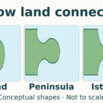
An isthmus is a narrow land connection between larger land areas, with water on opposite sides. A strait is the water connection between land areas. They are useful contrasting patterns, not synonyms.
A canal can cross an isthmus, as Suez and Panama do. But not every canal connects two seas, and not every canal crosses an isthmus. Irrigation and water-supply canals serve different purposes. For the landform comparison, see island vs peninsula vs isthmus.
Human maintenance can also modify a natural waterway. Dredging, bank protection and navigation aids do not automatically erase its natural origin. A useful description should distinguish the original feature from the engineering added to it.
5. A Better Way to Read the Map
- Trace the connection. Identify the water bodies on either end rather than relying on the nearest famous ocean name.
- Check the origin. Was the passage naturally present, or was the connecting route constructed?
- Separate operation from type. Locks, tolls, ship size limits and shipping traffic answer different questions from “strait or canal?”
- Use the right source. An atlas helps with location; a canal authority or engineering history explains construction and operation.
A tiny-scale map is a starting point, not the final evidence. If a canal and a strait are drawn as similar blue lines, that says more about the map’s simplification than about the physical differences between them.
Frequently Asked Questions
Does a canal have to carry ships?
No. Canals can carry water for irrigation, drinking-water supply and other uses. A shipping canal is one purpose-built category, not the definition of every canal.
Does a natural strait have to stay completely untouched?
No. Human engineering can modify a natural passage. Describe the natural feature and the later modifications separately rather than assuming any dredging turns it into a wholly artificial canal.
What Did We Learn Today?
The strongest distinction between a strait and a canal is how the water connection originated. Ship traffic, width and locks are not reliable shortcuts for classifying it. Suez and Panama show that two artificial routes can use very different designs, while the broader word “channel” needs context. On a map, identify both the connection and its history.
Sources & Data Notes
This is a physical-geography comparison, not a guide to maritime legal rights, live shipping conditions or vessel navigation. GeographyPin created the illustrations to explain natural and excavated connections; their shapes are invented, not measured coastlines. The canal example is intentionally lock-free. Panama’s elevation is an approximate explanatory value, not a current lake-level reading.
- NOAA: What is a canal? — human-made waterways and navigation or water-transfer uses.
- USGS: GNIS feature classes — canal, channel and isthmus terminology.
- National Geographic: Strait — basic definition of a narrow connecting passage.
- Suez Canal Authority: About Suez Canal and Canal Nature — route and sea-level character, including water-level variation.
- NASA Earth Observatory: The New Suez Canal — absence of locks at Suez.
- Panama Canal Authority: How does it work? — locks, Gatun Lake and the elevated route.
- U.S. Army Corps of Engineers: How navigation locks operate — basic chamber-level sequence.
- NOAA Fisheries: Bering Strait — Pacific–Arctic connection and water exchange.
- NOAA-hosted geographic terminology discussion — channel as a natural or artificial waterway.