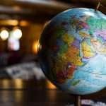
Geography Definition for Kids
Kid-friendly definition: Geography is how we learn where things are and how they fit together—mountains, rivers, roads, farms, and cities. It asks three simple questions: Where is it? Why is it there? Why does it matter for people and nature? With this, a map becomes a story we can understand.
Imagine your school. It’s near a bus stop and a park. Where? On the east side of town, 2 miles (3.2 kilometers) from your home. Why there? Safe streets and enough space for fields. Why does it matter? Shorter trips, cleaner air from trees, and more friends within walking distance. That’s geography in everyday life.
The “Where + Why There + Why It Matters” rule
Use this quick rule on any place: a shop, a river bend, or a playground. It turns location into meaning and helps kids explain their own neighborhoods with clear, simple words.
Geography Definition for Teens / Exam Prep
Exam-ready definition (plain): Geography is the study of places and the relationships between people and their environments, focusing on spatial patterns and processes across different scales. It combines physical geography (natural systems) and human geography (societies, economies, cultures).
Why this works: It includes the essential parts teachers look for: places, people–environment relationships, spatial patterns/processes, and multiple scales (local to global). It also points to the two major branches, which often appear as short-answer prompts.
One-sentence academic answer
“Geography studies the spatial organization of the natural and human world—what is where, why it is there, and how people and environments interact across scales.”
Key phrases to memorize
Places; people–environment relationships; spatial patterns; processes; scale; physical & human geography; location; movement; region; interaction.
The Academic Definition
In academic writing, geography is framed as the study of spatial patterns and processes shaping both the physical environment (landforms, water, climate, ecosystems) and the human environment (population, culture, economics, politics). It emphasizes place (unique characteristics), space (arrangement and connections), scale (from a street to the globe), and systems (linked natural and social processes).
Modern definitions align with reference sources used by schools and universities. National Geographic highlights “the study of places and the relationships between people and their environments,” while the AAG stresses spatial analysis and processes. Together, they anchor a rigorous, widely accepted definition suitable for essays, reports, and exams.
What Do Geographers Study?
Geographers investigate both physical systems and human systems, then show how they interact. This can be as small as mapping safe walking routes to school or as large as modeling global shipping lanes and monsoon patterns. The same definition works at every scale—local streets, regional river basins, national transport corridors, and world trade networks.
Projects might include mapping flood risk along a 30-mile (48-kilometer) river stretch; analyzing how language patterns shift between neighboring districts; or using satellite data to measure city growth over 10 years. The tools range from field notes and surveys to NASA–USGS Landsat images and city-level open data portals.
Physical systems
Landforms, weather and climate, hydrology, soils, vegetation, biomes, and natural hazards (floods, droughts, quakes). These shape resources, risks, and opportunities.
Human systems
Population, migration, culture, language, religion, economies, transport, urban design, governance, and geopolitics. These shape settlements, trade, and well-being.
Similar Terms You Might Confuse — Quick Definitions Table
Keep your definition sharp by telling close terms apart. Use this table when writing assignments or revising.
| Term | Plain Definition | One-Sentence Example |
|---|---|---|
| Geography | Study of places and people–environment relationships; spatial patterns and processes. | Explains why a city formed at a river mouth and how it grows. |
| Geology | Study of Earth’s materials and internal processes. | Shows how tectonic plates created a mountain range. |
| Cartography | Mapmaking—designing and producing maps. | Designs a clear subway map for commuters. |
| GIS | Software for layering and analyzing geographic data. | Maps schools within 1 mile (1.6 km) of busy roads. |
| Remote Sensing | Collecting Earth data via satellites or aircraft. | Tracks forest loss using yearly satellite images. |
| Topography | Shape and elevation of the land surface. | Explains why a road curves around a steep hill. |
| Meteorology | Short-term weather and atmosphere. | Forecasts wind and rain for the weekend. |
| Climatology | Long-term weather patterns (climate). | Explains why the coast is milder than inland. |
| Demography | Statistical study of populations. | Shows how age structure varies by district. |
Core Concepts of Geography
Most definitions rest on four pillars: Place, Space, Scale, and Systems. Using these terms makes your writing precise and exam-ready without sounding complicated. They fit lessons from primary school to university.
When you define a place, check each pillar: What makes it unique (place)? How is it arranged with neighbors (space)? At what zoom level are you studying it (scale)? Which natural and human processes shape it (systems)?
Place
Location plus characteristics. A coastal town has a harbor, sea breezes, and fishing jobs—features that explain prices, transport, and risk.
Space
Patterns and connections. Are shops clustered or spread out? Do roads or rivers act as barriers? Space turns dots on a map into networks.
Scale
From street to globe. A 1-inch line might equal 50 miles (80 kilometers). Findings often change when you zoom out or in—be clear about scale.
Systems
Linked natural and social processes: winds and currents, markets and migration. Satellite programs like Landsat (since 1972) let us measure these systems consistently over time.
The Five Themes of Geography
The classic classroom way to frame the definition is through five themes. They are easy to remember and map directly to exam questions and project rubrics. Use them to structure short answers, posters, and field reports.
Location (absolute & relative): coordinates/addresses and positions “near” something else. Place: physical and human features that make a location unique. Human–Environment Interaction: how people adapt to, change, and depend on the environment. Movement: flows of people, goods, ideas, and data. Region: areas grouped by shared traits or functions (e.g., climate zones, metro areas).
Examples That Make It Clear
A port city at a river mouth. Where? At the coast where a river meets the sea. Why there? Deep water and easy inland access. Why it matters? Jobs in shipping and trade; flood defenses needed. The harbor might be 12 miles (19 kilometers) from the open ocean via a dredged channel.
A suburban school site. Where? 2 miles (3.2 kilometers) from a highway exit. Why there? Land was available and quiet. Why it matters? Safer streets, but longer bus routes; plan sidewalks and bike lanes accordingly.
A farming valley. Where? 25 miles (40 kilometers) inland, 1,600 feet (488 meters) above sea level. Why there? Fertile soils and irrigation water. Why it matters? Strong harvests, but drought plans required.
A tourist beach. Where? South-facing bay. Why there? Calmer waves and warmer water. Why it matters? Seasonal jobs and transport peaks; lifeguard coverage and dune protection.
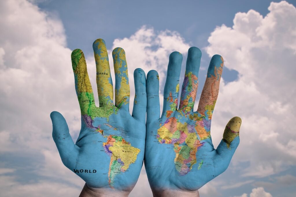
Why Geography Matters (Everyday Life & Careers)
Geography turns location into smart choices. Families use it to plan commutes and choose safe neighborhoods. City planners place parks and bus lines. Health teams track disease spread. Businesses pick warehouse sites to cut hours of travel over hundreds of miles (kilometers). Emergency managers map flood or fire risk to save lives and money.
Careers include urban and transport planning, environmental consulting, disaster risk reduction, market location analysis, GIS and remote sensing, conservation, teaching, and journalism. The definition stays the same across all: study places and people–environment relationships to explain patterns and change.
FAQ
What’s the simplest definition of geography?
Geography studies places and the relationships between people and their environments. In one line: what’s where, why it’s there, and why it matters—across local, regional, and global scales.
Is geography just maps and capitals?
Maps and names help, but geography goes further: it explains patterns and processes that shape life—climate, transport, housing, trade, health, and risk—using evidence and scale-aware thinking.
What’s the difference between geography and geology?
Geology studies Earth’s materials and interior; geography studies places and spatial relationships, combining nature and society. They meet in hazards like earthquakes and landslides.
What Did We Learn Today?
- A definition for every reader—from kids to academic exams—uses the same core idea.
- The table clarifies close terms so your definition stays accurate.
- Four core concepts (place, space, scale, systems) support precise explanations.
- The five themes (location, place, interaction, movement, region) match classroom rubrics.
- Clear examples show how geography guides daily choices and careers.