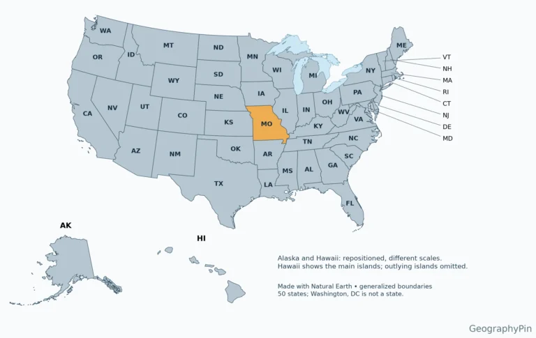
Missouri · Maps & geography skills
What State Is MO? Missouri Map and Quick Facts
A two-letter address code can identify a state without explaining where it is. Missouri is easiest to place by its neighbors and the two…
Read articleExplore GeographyPin
You are browsing a collection. Search here or change the filters below.
Missouri · Maps & geography skills
A two-letter address code can identify a state without explaining where it is. Missouri is easiest to place by its neighbors and the two…
Read article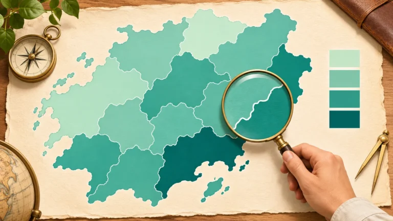
Maps & geography skills
A choropleth map fills geographic areas with colors or shades linked to a numerical value, commonly a rate, percentage or density. The shading summarizes…
Read article
Weather
A weather front is a transition zone between air masses with contrasting properties, especially temperature. Cold and warm fronts describe one air mass replacing…
Read article
Climate
The Köppen climate classification groups places by long-term temperature and precipitation patterns. Its five main groups are tropical, dry, temperate, continental or cold, and…
Read article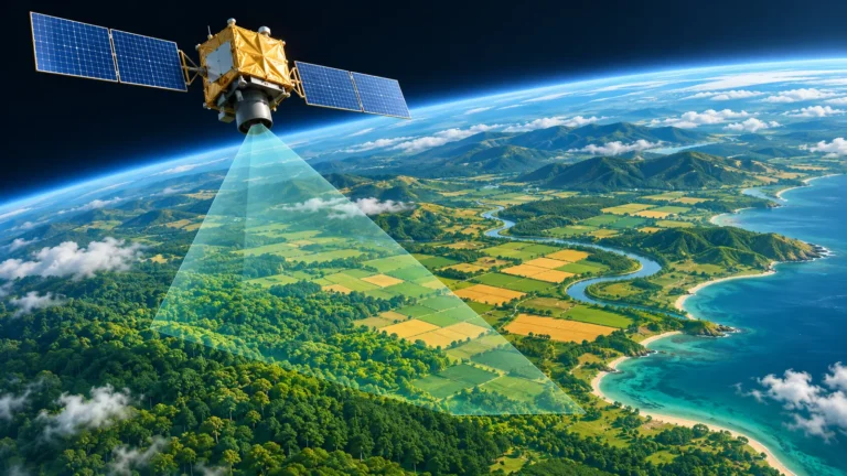
GIS & remote sensing
Remote sensing measures objects or areas from a distance, without direct contact. Passive sensors detect energy reflected or emitted by the scene; active sensors…
Read article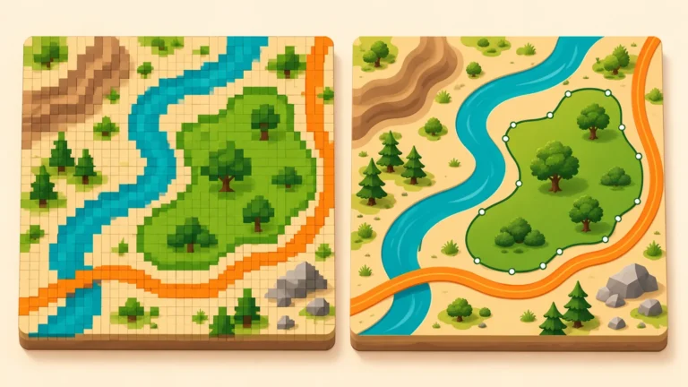
GIS & remote sensing
Raster data divide space into rows and columns of cells, each holding a value. Vector data represent features with coordinate-based geometry, commonly points, lines…
Read article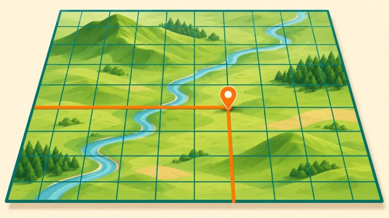
Coordinates
UTM coordinates identify a position using a numbered zone, a hemisphere, an easting and a northing, with both grid values expressed in meters. The…
Read article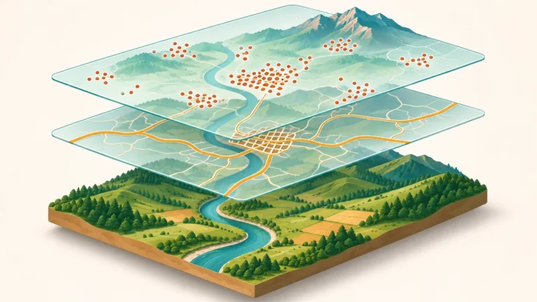
GIS & remote sensing
GIS stands for geographic information system. It combines location-based data with tools for storing, checking, analyzing and displaying that information. A map is one…
Read article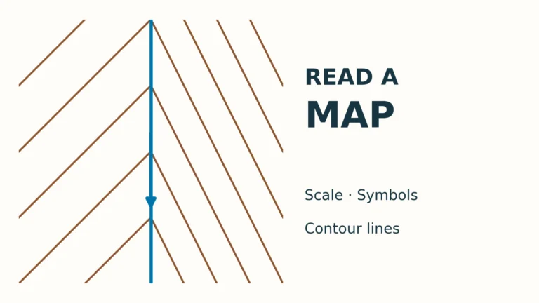
Maps & geography skills
Read a map’s legend, north reference, scale and contours together, then test the method on an original fictional valley with checked answers.
Read article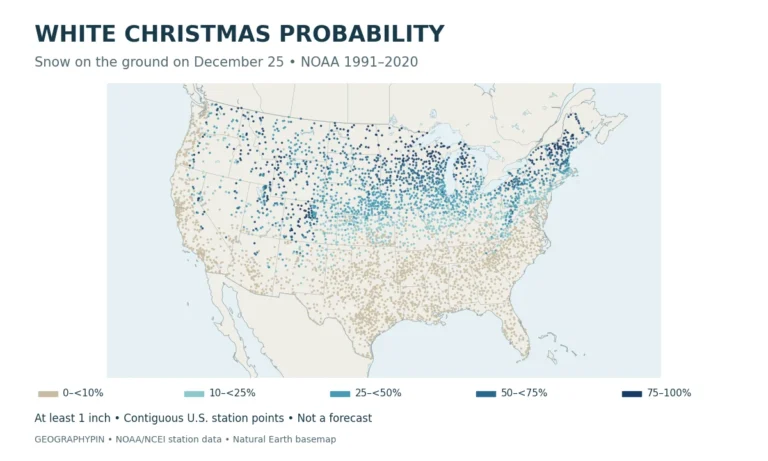
United States · Weather
Explore a White Christmas probability map based on NOAA data, with historical snow-cover odds for 24 U.S. stations. Learn what the numbers mean, not…
Read article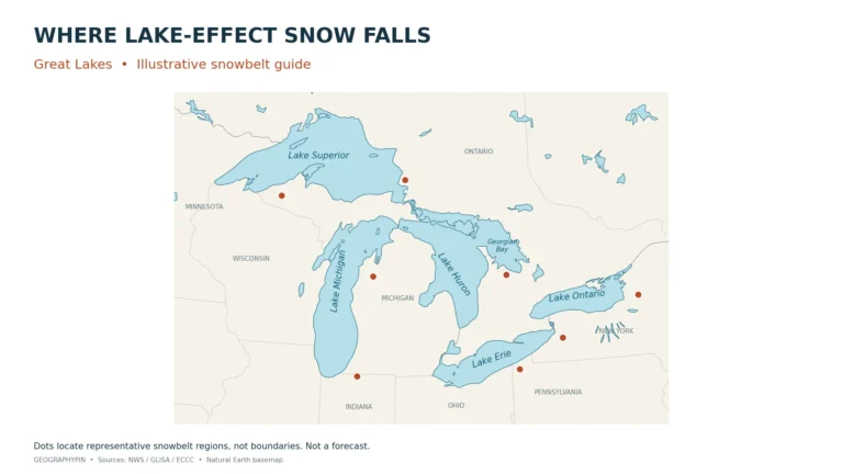
Weather
Explore representative Great Lakes snowbelts in the United States and Canada, with an original locator map, regional key and wind-fetch diagram.
Read article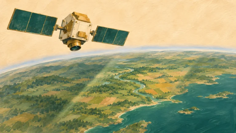
GIS & remote sensing
Take this remote sensing quiz to test how observations become evidence about Earth. Work through 20 questions on sensors, image resolution and interpretation, with…
Read article