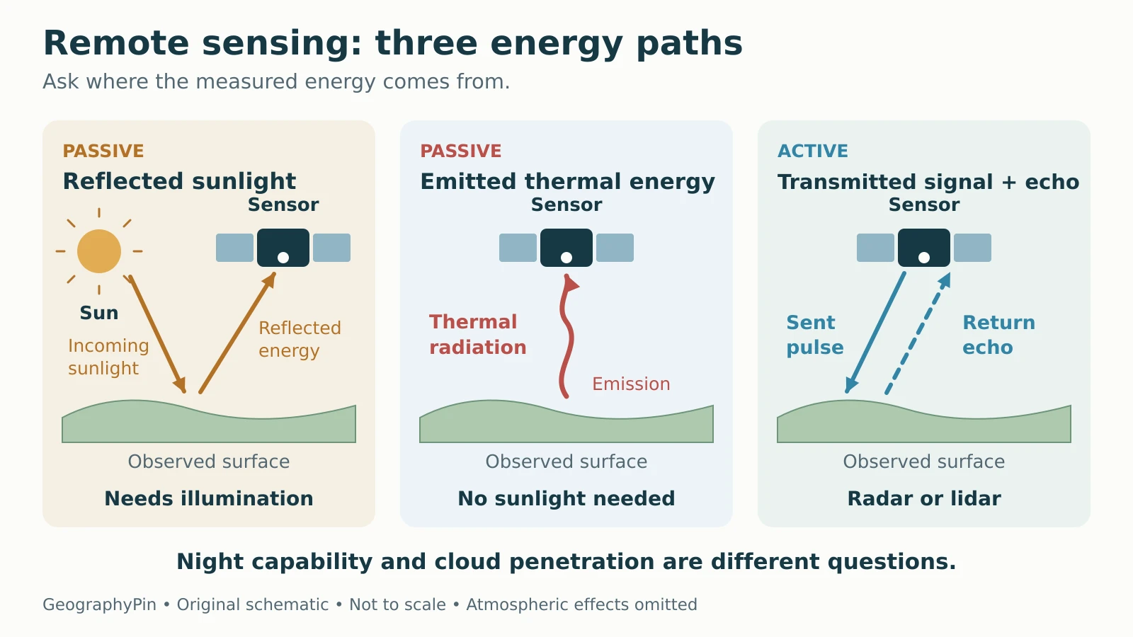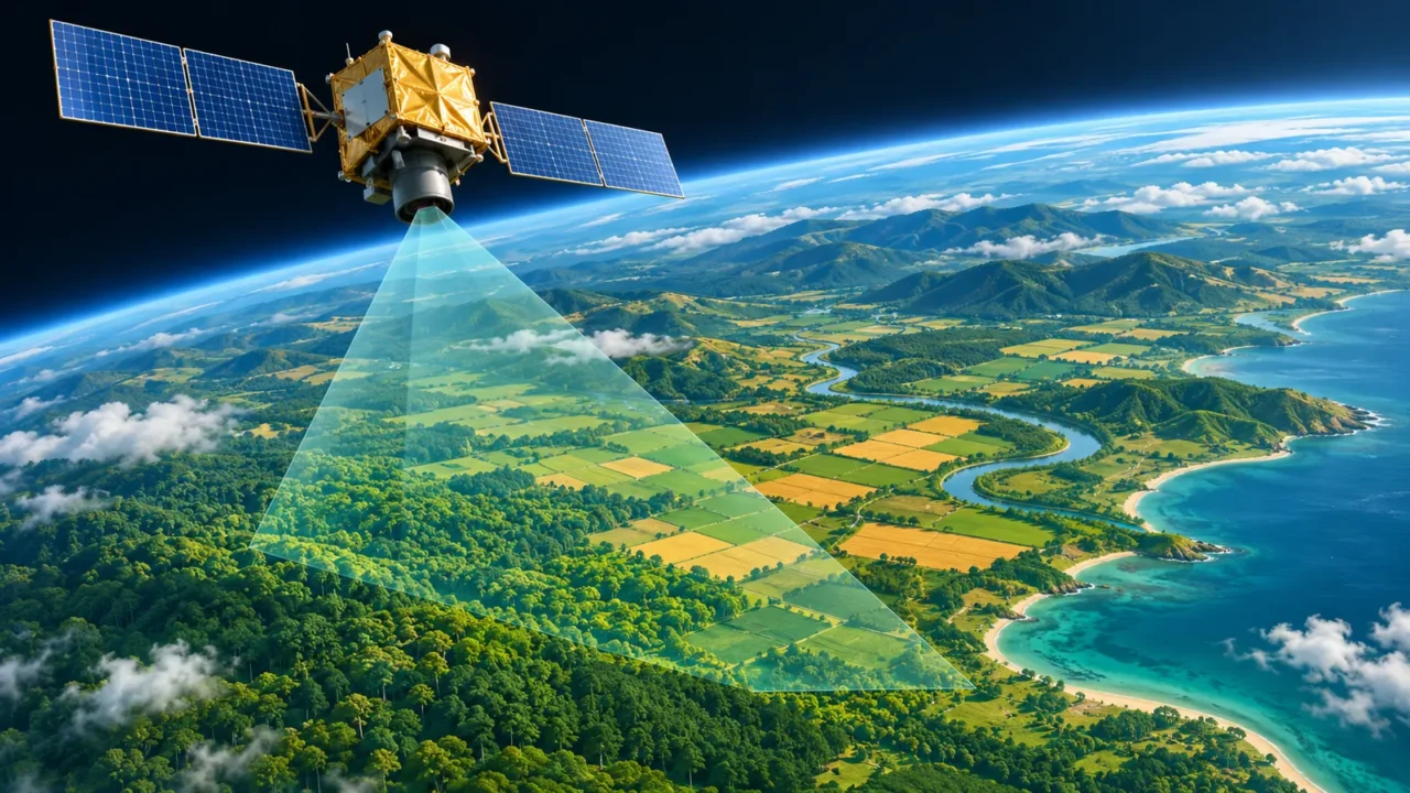
A satellite image may show reflected sunlight, emitted thermal radiation or the return from a transmitted radar signal. Knowing which one you are looking at explains why some observations need daylight, some work at night and some can reveal the ground through clouds.
Remote sensing measures objects or areas from a distance, without direct contact. Passive sensors detect energy reflected or emitted by the scene; active sensors transmit a signal and measure its return. The distinction explains the energy source, but night operation and cloud penetration depend on the wavelength and instrument, not simply the active or passive label.
How to use this article: Check passive sensing at night, compare radar and lidar cloud limits, or review ground checks before interpreting change.
How Remote Sensing Turns Energy into Information
Remote sensing collects information without placing the instrument in direct contact with its target. For Earth observation, sensors measure electromagnetic radiation: energy that includes visible light, infrared radiation and microwaves. The USGS overview gives applications ranging from monitoring forest fires to tracking urban growth.
The basic chain is simple: energy reaches or leaves a target, a sensor measures it, and processing turns the measurements into usable data. Analysts then interpret patterns, often comparing observations over time. A sensor records a signal, not a ready-made label such as “forest,” “flood” or “healthy crop.”
A platform carries the instrument; a sensor makes the measurement. Satellites, aircraft and drones are platforms. Cameras, radar instruments and laser scanners are sensors. A satellite can carry several instruments, and remote sensing also takes place from the ground.
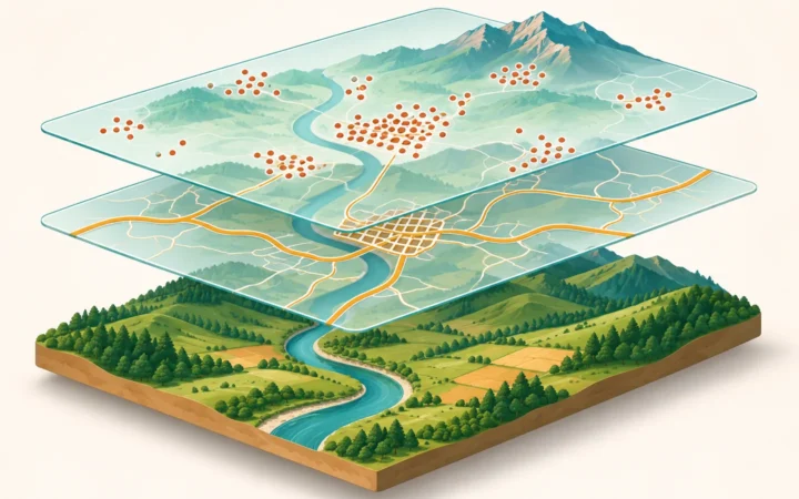
A geographic information system, or GIS, helps combine these observations with other location-based information. The GIS and spatial-analysis quiz tests that broader analytical toolkit.
Active and Passive Sensors: Follow the Energy Source
Passive sensors receive energy that they did not transmit toward the target. Active sensors supply a measurement signal and observe its return. NASA’s remote-sensing explanation makes this distinction using the source of illumination. “Passive” does not mean an instrument needs no electrical power.
| Sensor approach | Energy being measured | Typical use |
|---|---|---|
| Passive reflected-light imaging | Sunlight reflected by the scene | Land-cover and vegetation mapping |
| Passive thermal imaging | Thermal radiation emitted by the scene | Surface-temperature and cloud studies |
| Active radar or lidar | A transmitted signal returning from the target | Radar imagery or laser ranging |

Why Passive Sensors Can Work at Night
Reflected-light imaging needs illumination, usually sunlight for daytime land observation. Thermal infrared sensing instead measures radiation emitted by the surface, clouds or atmosphere. It can operate in darkness because emission continues after sunset. NOAA’s satellite-imagery explanation describes both reflected-light and emitted-infrared views.
Night capability does not guarantee a clear view of the ground. Opaque clouds can hide the surface from visible and thermal infrared instruments. Nor does every instrument collect every location at night; its orbit, channels and acquisition plan still matter.
Why Radar and Lidar Have Different Cloud Limits
Radar transmits radio-frequency energy, usually microwaves in Earth-imaging systems. Synthetic aperture radar, or SAR, combines echoes collected as the platform moves to form detailed imagery. Its own illumination enables day-and-night measurements, and suitable radar wavelengths allow observation through clouds.
Lidar uses laser light and calculates distance from the round-trip travel time of a pulse. It supplies its own signal and can operate at night, but dense clouds can block the beam. NOAA’s Lidar 101 distinguishes this limitation from radar. “Active” therefore does not mean “sees through all weather.” The wavelength, atmosphere, target and instrument design determine what is measurable.
Four Types of Resolution, Four Different Questions
A claim of “high-resolution imagery” is incomplete without naming the kind of resolution. The USGS introductory guide distinguishes four dimensions. They describe different capabilities, so a dataset strong in one dimension may be unsuitable in another.
| Resolution | What it describes | Question to ask |
|---|---|---|
| Spatial | Ability to distinguish spatial detail; pixel spacing is a common product specification | Can the feature be separated from its surroundings? |
| Spectral | Detail across wavelength bands, including their widths and placement | Are the relevant wavelength differences measured? |
| Temporal | How often observations cover the location | Will the event be observed before it changes? |
| Radiometric | The ability to represent differences in measured signal levels | Can subtle brightness differences be recorded? |
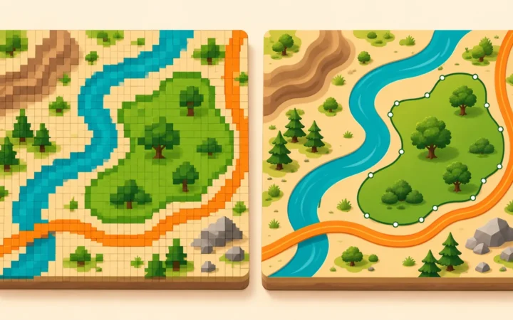
Smaller pixels do not automatically produce a more accurate map. A pixel can combine signals from different surfaces, and a finely sampled image can still be blurred or misplaced. More encoded signal levels do not remove sensor noise. Likewise, a frequent satellite revisit does not guarantee frequent cloud-free ground observations.
Resolution and accuracy answer different questions. Resolution concerns distinguishable detail or sampling; accuracy concerns agreement with a trustworthy reference. Check the product’s quality information rather than treating a sharp display as proof.
Choose the Observation for the Question
Consider three hypothetical projects. The useful choice changes with the measurement needed, even when the same landscape is involved.
- Map vegetation patterns: reflected-light observations in suitable visible and infrared bands can help distinguish vegetation from other surfaces. Check clouds, season and the size of the features.
- Compare surface temperatures after sunset: choose an appropriate thermal infrared product. A normal daylight photograph cannot provide that measurement, and cloud cover may still obstruct the surface.
- Investigate land beneath persistent cloud: SAR may provide observations that reflected-light imaging cannot. Interpretation must account for the radar’s wavelength, viewing geometry and surface response.
For terrain or canopy structure, a lidar survey may be useful because laser ranges can support three-dimensional mapping. Returns may come from leaves, roofs or ground; constructing a bare-earth model requires processing. Start with the question, then check coverage, resolution, acquisition conditions and validation. There is no universally best sensor.
Read the Image Without Overclaiming
Display Colors Are Chosen
A satellite image is a display of measurements. A band is a selected wavelength range, and a false-color image assigns selected bands to visible display colors. Vegetation can look red when near-infrared measurements are displayed in the red channel. That does not mean the leaves are physically red.
Radar brightness has a different meaning. As NASA/JPL explains, it reflects the returned microwave signal and varies with factors including surface roughness, moisture and viewing angle. A dark patch is not automatically water. Check the sensor, band combination, legend and acquisition date before interpreting color or brightness.
Ground Checks Test the Interpretation
Land-cover classes and change maps are conclusions derived from measurements. Compare them with suitable reference observations, including field checks where feasible. Reference data need reliable locations and relevant dates; they also contain uncertainty.
The USGS publication summary on verification stresses field checks and the possibility of change between image acquisition and a site visit. A summer-to-winter difference, for example, may reflect seasonal vegetation rather than permanent loss. Before calling a change real, check alignment, clouds, processing and timing.
Try applying these distinctions in the 20-question remote-sensing quiz, which includes sensor choices and interpretation checks.
What Did We Learn Today?
Useful remote sensing starts with the measurement question. Follow the energy source to distinguish active and passive sensing, then check which wavelengths can reach the target and sensor. Match spatial, spectral, temporal and radiometric capabilities to the task. Finally, treat image colors and mapped classes as evidence to interpret and verify, not as self-explanatory answers.
Sources & Data Notes
This explanation concerns electromagnetic Earth observation. The projects and diagram are illustrative, not measurements from a dataset. Sources support sensing principles rather than current mission specifications. Cloud effects, usable revisit frequency and accuracy must be checked for the particular instrument and product.
- USGS: What is remote sensing and what is it used for?
- NASA Earth Observatory: Remote Sensing
- NOAA NESDIS: How to Use the Interactive Satellite Maps
- NASA/JPL: What is Imaging Radar?
- NOAA: Lidar 101: An Introduction to Lidar Technology, Data, and Applications
- USGS: Introduction to Aquatic Remote Sensing
- USGS publication summary: Verification of remotely sensed data