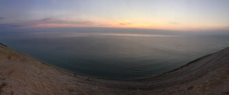
Lake Michigan · Lakes
Lake Michigan: Great Lakes Map, Depth and Shoreline
From a beach or city waterfront, Lake Michigan can look more like an inland sea than a lake. Its map reveals a more specific…
Read articleExplore GeographyPin
You are browsing a collection. Search here or change the filters below.
Lake Michigan · Lakes
From a beach or city waterfront, Lake Michigan can look more like an inland sea than a lake. Its map reveals a more specific…
Read article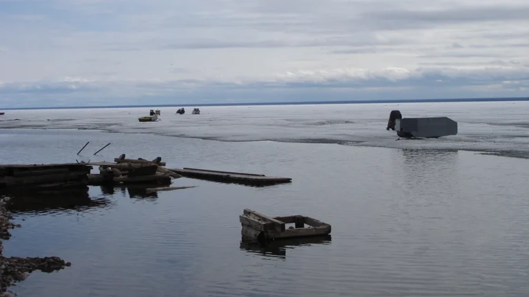
Great Bear Lake · Lakes
Great Bear Lake’s five broad arms spread across northern Canada like the branches of a water-filled landscape. Reading those arms, the southwestern outlet and…
Read article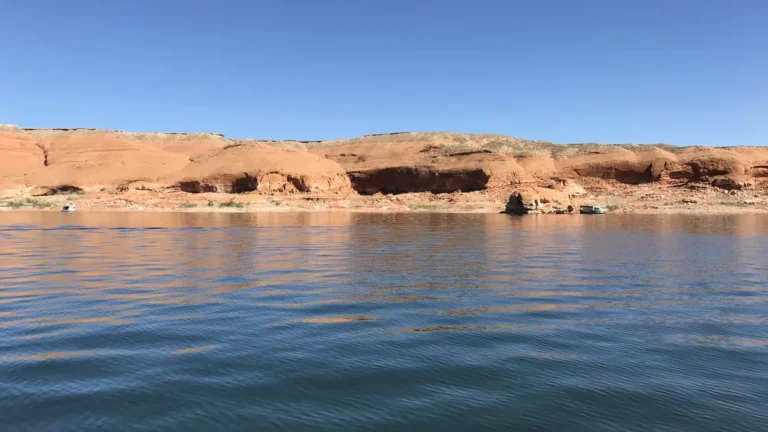
Lake Powell · Landforms
Lake Powell’s branching blue water follows a canyon landscape across Utah and Arizona. Its changing shoreline is striking, but understanding the lake requires separating…
Read article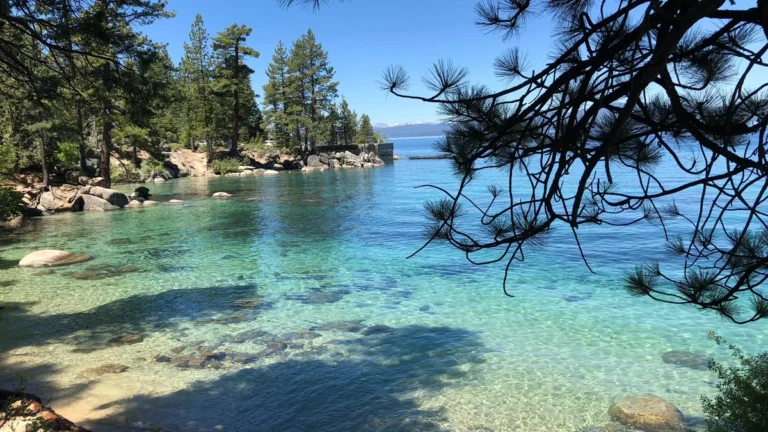
Lake Tahoe · Lakes
Lake Tahoe’s geography involves three different boundaries: the shoreline, the California–Nevada state line and the high ground separating its drainage basin from neighboring valleys.…
Read article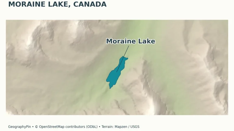
Moraine Lake · Lakes
A blue-green lake beneath a wall of peaks can seem easy to understand from a photograph, yet its color, basin and access each tell…
Read article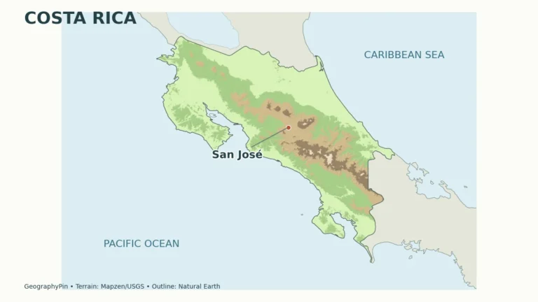
Costa Rica · Countries & regions
Costa Rica is a Central American country between Nicaragua and Panama, bordered by the Pacific Ocean and Caribbean Sea. Its geography combines volcanic ranges,…
Read article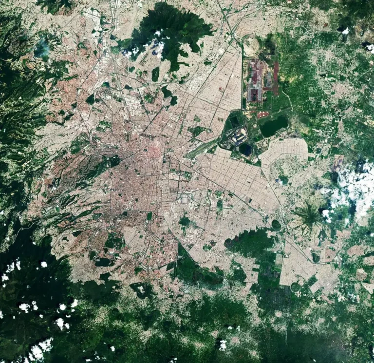
Mexico City · Cities & capitals
Mexico City’s geography combines three stories that are easy to confuse: a highland basin, a former lake landscape and a metropolis extending beyond the…
Read article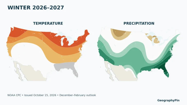
United States · Maps & geography skills
An El Niño map, a winter outlook and a snowfall forecast answer different questions. The useful comparison for this winter is between the Pacific…
Read article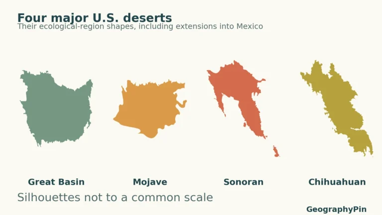
United States · Deserts
Four familiar desert names organize much of the dry American Southwest, but their landscapes and rainfall seasons are far from interchangeable. The clearest comparison…
Read article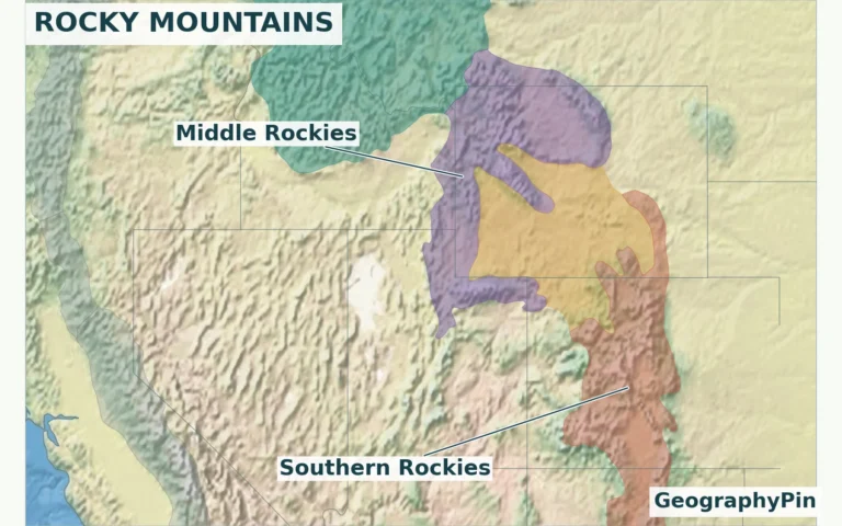
Rocky Mountains · Mountains
A Rocky Mountains map needs to show more than a stripe through Colorado. The system crosses an international border, includes several distinct mountain groups,…
Read article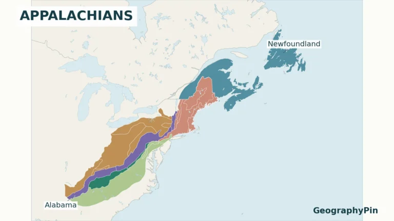
Appalachian Mountains · Mountains
A map that stops at Maine leaves out a substantial part of the Appalachians. A map of “Appalachia” may show a completely different boundary.…
Read article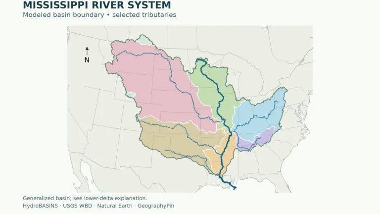
Mexico · Rivers
The Mississippi River basin is the land drained by the Mississippi and its connected tributaries. It reaches far beyond the main river, linking the…
Read article