Borders
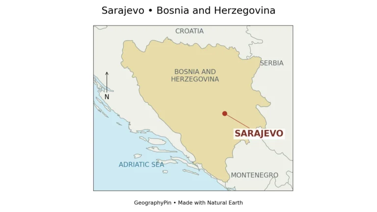
Sarajevo Geography: Map, River Valley, Population and City Boundaries
A city name can describe a skyline, a government area or a much wider region. Sarajevo makes that distinction especially important. Its river valley…
Read articleExplore GeographyPin
You are browsing a collection. Search here or change the filters below.
Borders
A city name can describe a skyline, a government area or a much wider region. Sarajevo makes that distinction especially important. Its river valley…
Read article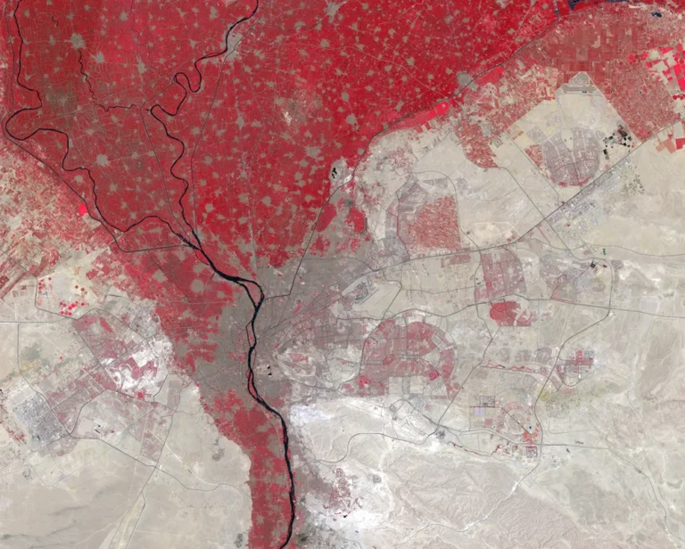
Cairo · Cities & capitals
Cairo is often introduced through a pyramid photograph, but that can leave the geography muddled. The historic city, the west-bank city of Giza, the…
Read article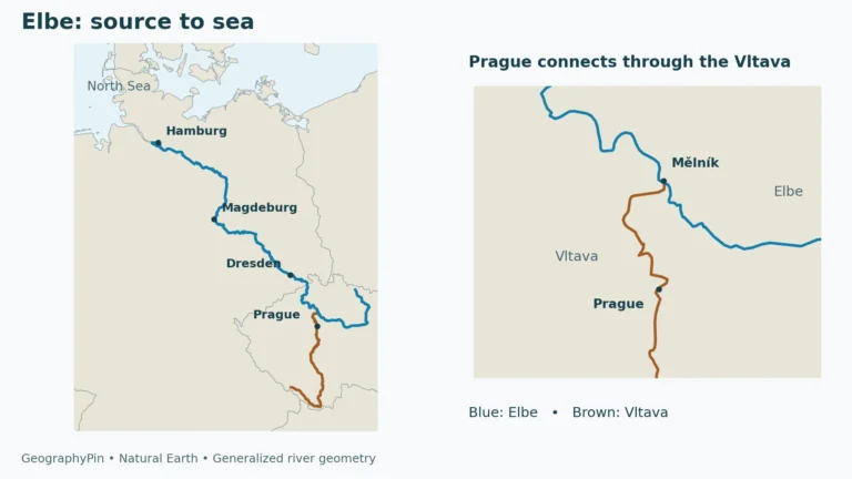
Czechia · Cities & capitals
The Elbe connects Czech mountain headwaters with a German tidal estuary, but its geography is easy to misread. Prague belongs to its wider river…
Read article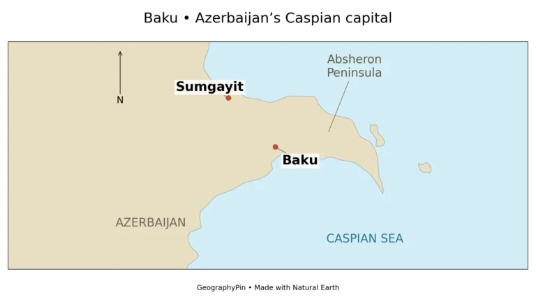
Baku · Cities & capitals
Baku is easy to recognize in a skyline photograph, but harder to understand from a single city pin. Azerbaijan’s capital occupies the southern side…
Read article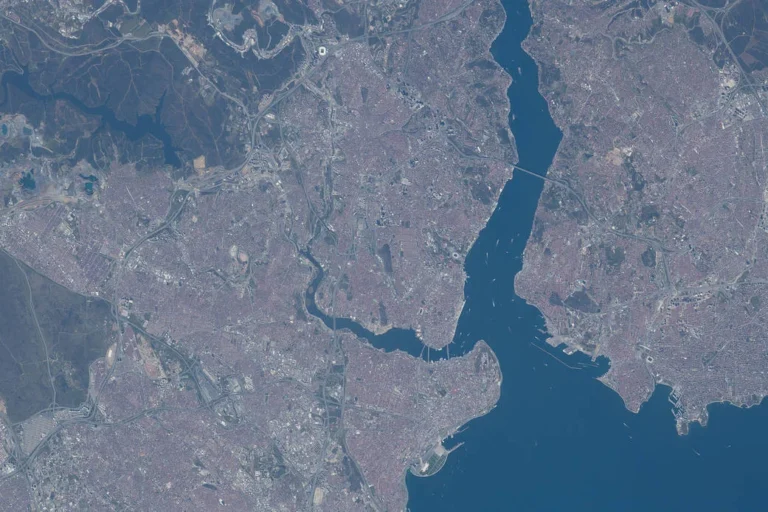
Istanbul · Cities & capitals
Istanbul is easier to understand once you stop treating every stretch of water as the same boundary. The Bosporus separates the city's European and…
Read article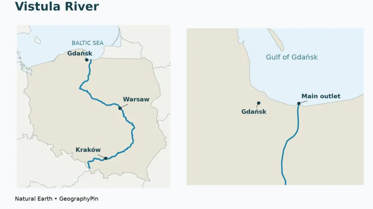
Vistula River · Cities & capitals
The Vistula links Poland’s southern mountains with its Baltic coast, but it does not run north in a straight line. Following its bends explains…
Read article
United States · Cities & capitals
This US state capitals quiz gives you 20 multiple-choice questions, from familiar pairs to capitals that are easy to confuse with other cities. Choose…
Read article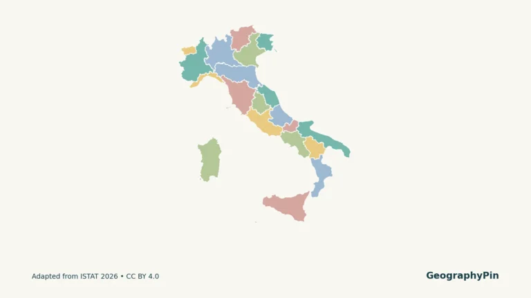
Italy · Cities & capitals
Florence is in Tuscany, Venice is in Veneto, and Rome is in Lazio. A regional map connects familiar city names to the larger administrative…
Read article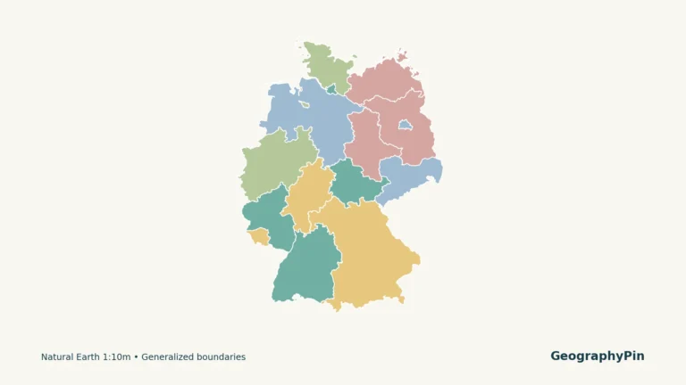
Germany States · Cities & capitals
Germany’s national capital is Berlin, but a map of its federal states introduces fifteen other state names and a separate set of capital-city pairs.…
Read article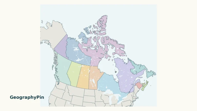
Canada · Cities & capitals
A map of Canada needs room for both the Arctic islands and the small Atlantic provinces. This guide pairs a national overview with a…
Read article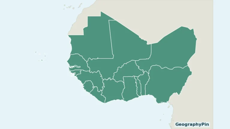
Borders
West Africa contains both a long Atlantic coastline and countries far inland. A useful regional map must also show Cabo Verde rather than treating…
Read article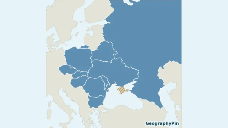
Borders
An Eastern Europe list is only useful when its boundaries are explained. This map uses the United Nations statistical grouping, so you can match…
Read article