Anna Maria Island sits off Bradenton on the west coast of Florida, where Tampa Bay meets the Gulf. The name also belongs to the city at its northern end, so a location marked Anna Maria is not necessarily the same destination as a beach or address elsewhere on the island.
One island, three cities
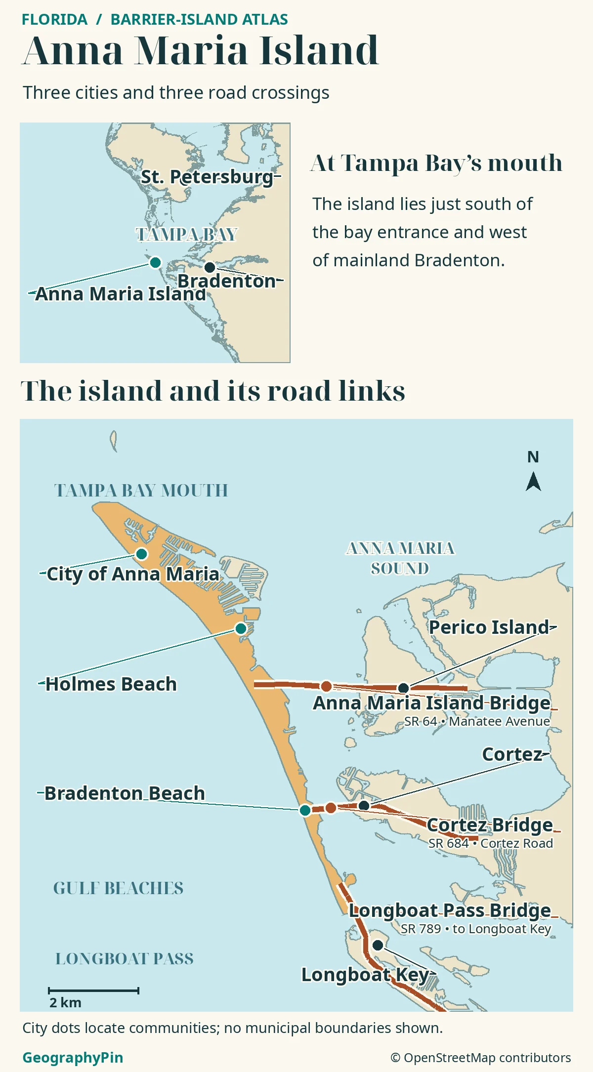
Anna Maria Island is a barrier island in Manatee County, Florida, on the south side of the entrance to Tampa Bay. The cities of Anna Maria, Holmes Beach and Bradenton Beach share it.
Two road approaches connect it eastward to the mainland, while a third bridge crosses Longboat Pass to Longboat Key.
How to use this article: Start with the regional locator, then check the three cities and the three bridge approaches.
Anna Maria Island at the mouth of Tampa Bay
Find Tampa Bay on Florida’s west coast and follow it toward the open Gulf. Anna Maria Island begins on the south side of that entrance and stretches toward Longboat Key. Bradenton, to the east, is the useful mainland reference; the city of Tampa is farther inside the bay and is not on the island.
Place the north tip before looking for a beach
The north end is a headland at the bay entrance. Farther south, the island becomes a narrow strip between the Gulf-facing shore and the water behind the barrier. The close-up map helps distinguish which bridges go to the mainland and which cross to a neighboring barrier island.
Three cities on one barrier island
The City of Anna Maria occupies the northern end of Anna Maria Island; it does not govern the entire island. The city’s official overview identifies Holmes Beach immediately to its south and Bradenton Beach at the southern end. Bradenton Beach is an island city, not a beachfront district of Bradenton on the mainland.
The city names from north to south
From north to south, look for Anna Maria, Holmes Beach and Bradenton Beach. The names are useful when checking an address: the same road can continue from one city into the next. The dots on the map locate communities; they do not show where one city’s legal jurisdiction ends and another begins.
For Holmes Beach and the northern tip, SR 64 via Perico Island is the northerly mainland approach. SR 684 via Cortez reaches Bradenton Beach farther south. Continue south on SR 789 to cross Longboat Pass to Longboat Key.
The Gulf beaches and the sound behind them
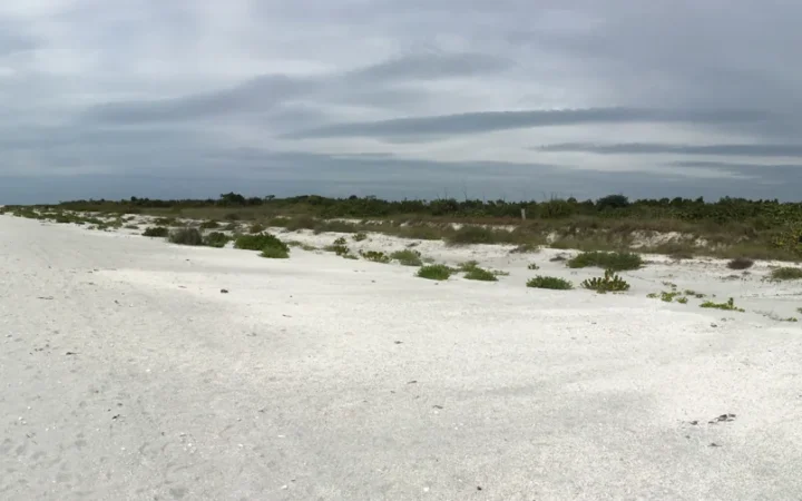
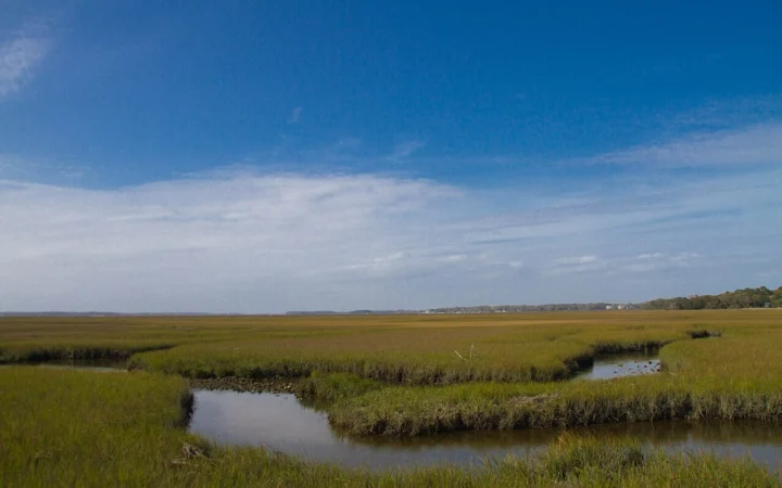
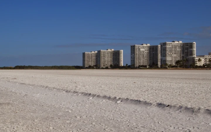
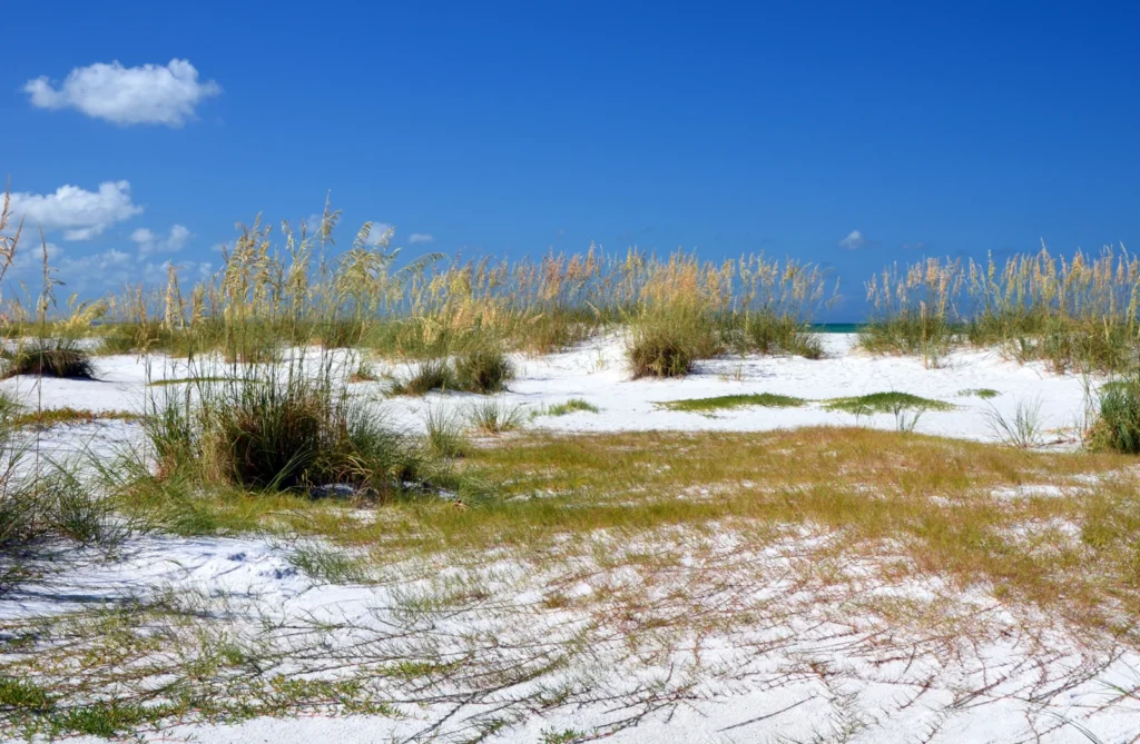
Most of the island’s long sandy beach runs along its western side, facing the Gulf of Mexico. Manatee Public Beach is in Holmes Beach; Coquina Beach is much farther south, near Longboat Pass. On the landward side, Anna Maria Sound and connected bay waters create a different setting from the open Gulf, with small islands, shore vegetation and tidal channels in the wider area.
A barrier island is a low strip of sediment that separates open water from protected water behind it. U.S. Geological Survey field studies interpret Anna Maria Island as having developed from an elongated shoal, or shallow accumulation of sediment, near the Tampa Bay entrance. Sand built out at the wider north end over time, giving the barrier a broad head and a narrower tail. That shape is why geologists sometimes call it a drumstick barrier island.
The sand is still mobile. USGS researchers tracked sandbars moving offshore at the north end, where waves and tidal currents can redistribute sediment. A detailed shoreline on a map is therefore a dated representation, not a promise that the same sandbar or beach width will be there when you arrive.
What Longboat Pass separates
At the southern tip of Anna Maria Island, Longboat Pass separates Coquina Beach from Longboat Key. It links Gulf water with the bay waters behind the islands. The road bridge crosses the inlet; it does not turn the two islands into one landform. On county or state documents the waterway may also appear as Longboat Key Pass.
Shoreline work here illustrates the connection between beach and inlet. In its 2026 Coquina Beach repair plan, Manatee County proposed moving sand dredged from the Longboat Pass navigation channel onto the beach. That is an example of beach replenishment, not evidence of the present width of the beach, completion of the project, or safe conditions in the inlet.
Which bridge leads where
West Bradenton gives the most useful mainland frame of reference. The drive onto the island can come in near the middle by Manatee Avenue or farther south by Cortez Road. The southern route over Longboat Pass has a different purpose: it connects Anna Maria Island with another island.
Two mainland approaches and one island crossing
| Crossing | What it connects |
|---|---|
| Anna Maria Island Bridge · SR 64 | The Manatee Avenue approach via Perico Island reaches Holmes Beach. |
| Cortez Bridge · SR 684 | The Cortez Road approach reaches Bradenton Beach from the mainland side. |
| Longboat Pass Bridge · SR 789 | Bradenton Beach at the south end connects across the pass to Longboat Key, not directly to the mainland. |
The bridges are geographic landmarks, not a statement about lane closures, bridge openings, traffic delays or project status. Check current travel information for the crossing you plan to use.
Frequently Asked Questions
Does the Sunshine Skyway Bridge land on Anna Maria Island?
No. The Skyway crosses Tampa Bay farther inland than the island’s tip. If you are coming from the St. Petersburg side, that crossing puts you on the Manatee County mainland side; it is not one of the bridges onto Anna Maria Island.
Is the Coquina Beach boat ramp on the Gulf beach?
The county’s Coquina boat ramps are on the bayside, east of Gulf Drive, while the beach faces the Gulf on the other side of the road. Choose the bayside ramp in your directions rather than assuming a beach parking pin takes you to the launch.
Do municipal boundaries follow the edge of the sand?
A coastline marks a physical edge that can shift as sand moves or water levels change. Jurisdiction is defined separately. Use a city or county boundary map for an address or a permit question, not a line drawn around the beach.
What Did We Learn Today?
Anna Maria Island lies at the southern edge of the Tampa Bay entrance. Anna Maria, Holmes Beach and Bradenton Beach share the barrier island, but the city of Bradenton is on the mainland. The Gulf shore is the main beach side, while Longboat Pass separates the island from Longboat Key at its southern end.
Sources & Data Notes
Geography: City of Anna Maria; Florida DEP’s coastal access guide; Manatee County’s bridge inventory map; and Florida DOT waterway references.
Coastal processes: USGS on island development and USGS on offshore sandbar migration; Manatee County’s 2026 Coquina project and bayside launch information.
Atlas: GeographyPin cartography with OSM land polygons and OpenStreetMap data (ODbL), checked November 20, 2026. City dots are not legal boundaries; roadway lines do not establish current bridge or beach conditions.
Photo: Anna Maria island, Gzzz / Wikimedia Commons (2016), CC BY-SA 4.0; resized and converted to WebP under the same license. AI tools assisted with preparation.