At Amelia Island’s north end, a fort faces an inlet shared with Georgia’s Cumberland Island. At the south end, the beach curves toward a sound where channels and sandbars shift. The two openings frame a Florida barrier island with an ocean beach on one side and a working riverfront on the other.
Two inlets frame Amelia Island
Amelia Island is a barrier island in northeastern Florida. The St. Marys River entrance separates its northern tip from Cumberland Island, Georgia, while Nassau Sound lies off its southern tip. Fernandina Beach occupies part of the island; the city and island are not interchangeable.
How to use this article: Start by reading the four shores, then see how the inlet serves the harbor, why the city is not the whole island, and what the erosion inventory covers.
Where Amelia Island Sits on Florida’s Coast
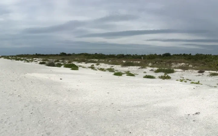
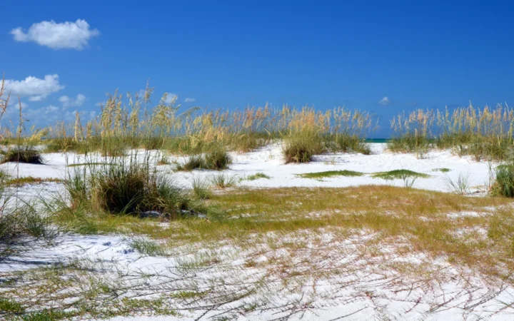
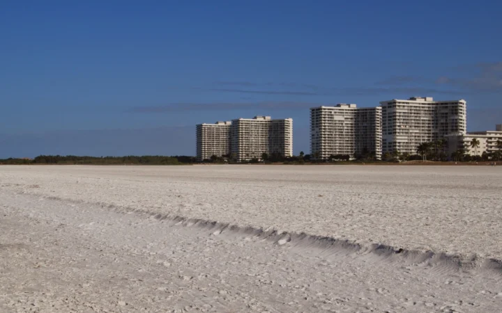
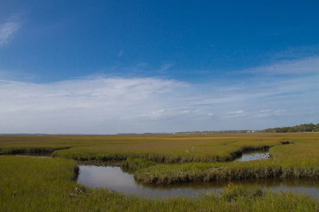
Amelia Island is in Nassau County, at the northeastern corner of Florida. It is a barrier island: an elongated strip of coastal land between the open ocean and sheltered back-barrier waters. The Atlantic-facing side has beaches and dunes. On the west, the Amelia River and adjoining tidal creeks and marshes create a very different shoreline.
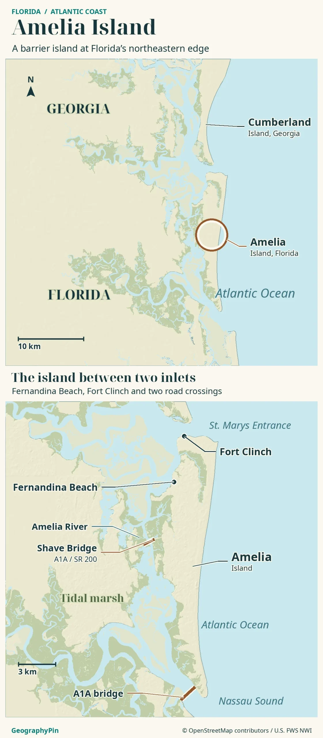
Four shores to look for on the map
If you start at the northern tip and trace the shore clockwise, you pass from the St. Marys entrance to the ocean beaches and then to Nassau Sound. On the return up the island’s west side, the downtown Fernandina Beach waterfront faces the Amelia River rather than the Atlantic. Those four sides tell you more about the island than a single pin labeled “Amelia Island.”
Fort Clinch and the St. Marys River Entrance
Fort Clinch stands near the island’s northern tip, opposite the southern end of Cumberland Island in Georgia. The entrance is the ocean approach to the St. Marys River and Cumberland Sound. The fort’s position makes sense from the water: it sits at the corner where the river-side approach and the open coast come together.
A tidal inlet and a working channel
The natural inlet and the maintained shipping channel are different things. The U.S. Army Corps of Engineers describes a federal channel that reaches the Port of Fernandina with stone jetties at the entrance. The jetties help hold the inlet in place, but sand still moves. Florida’s 2026 coastal plan records sand from channel maintenance being placed on parts of the northern Atlantic beach. Sand can be an obstacle in the channel and a useful resource on the beach.
Why Fernandina Beach Is Not the Whole Island
Fernandina Beach is an incorporated city on the northern part of Amelia Island, not another name for every beach, neighborhood or park on it. Its historic downtown and harbor face the Amelia River, while the city also reaches the Atlantic side. That is why a photo labeled “Fernandina Beach” may show boats at a riverfront rather than breakers on a sandy shore.
An island name is not a city limit
The city’s published limits map gives the actual municipal line. It does not follow the entire perimeter of Amelia Island. At the south end, for example, Amelia Island State Park occupies its own tract of beaches, marsh and coastal forest. An island label, a municipal boundary and a park boundary answer different questions.
Nassau Sound at the Southern Tip
Nassau Sound opens to the Atlantic between Amelia Island and the Talbot Islands area. The Nassau River supplies an inland approach to this southern end, while the South Amelia River forms part of the Intracoastal Waterway behind the island. Boat traffic can use sheltered routes behind the barrier coast, but the northern St. Marys entrance and southern Nassau Sound are separate openings to the ocean.
Florida State Parks describes the George Crady Bridge Fishing Pier as a pedestrian-only bridge across Nassau Sound. Its presence does not turn the south end into a mainland shore. From that crossing, the island, the sound and Big Talbot Island can all be seen as separate features of the same tidal landscape.
How a Beach Can Grow on One End and Shrink on the Other
A barrier island’s beaches respond to waves, storms and the way tidal currents carry sand through the inlets. As a channel or shoal shifts, it can change where waves lose energy and where sand accumulates. Florida’s coastal management plan describes alternate periods of sand gain and loss at the tips of Amelia and Little Talbot Islands as the sand shoals and channels at Nassau Sound shifted. That is a different setting from the jettied shipping entrance to the north.
What the erosion inventory actually covers
Florida’s June 2026 inventory classifies two stretches of Amelia Island’s Atlantic shore as critically eroded: 4.4 miles (7.1 kilometers) in the north, at survey markers R9–R33, and 3.3 miles (5.3 kilometers) in the south, R60–R80. The north has an ongoing nourishment project using sand dredged from the St. Marys River entrance. Those designations do not mean every beach is shrinking now or that the two reaches always change in opposite directions. The atlas shows coastline for orientation, not a current tide line or property boundary.
Frequently Asked Questions
Is there a bridge from Amelia Island to Cumberland Island?
No. Cumberland Island is reachable only by boat. The National Park Service identifies St. Marys, Georgia, as the departure point for its visitor ferry. Fort Clinch is a place to see the inlet, not a bridge crossing.
Can you use the shoreline map to tell where beach driving is allowed?
No. Access is regulated by location. Nassau County publishes a separate map distinguishing vehicle-access stretches and closed areas. Check Fernandina Beach’s rules inside the city, Nassau County’s rules at county-managed accesses and the state park’s rules at park entrances. Follow current signs at the access point.
What Did We Learn Today?
Amelia Island’s geography starts with four sides: the St. Marys entrance to the north, the Atlantic to the east, Nassau Sound to the south and tidal backwaters to the west. Fernandina Beach is the city, not the landform. And the sand that shapes each end responds to very different inlet conditions.
Sources & Data Notes
Geography and park locations were checked against public agency references in November 2026. The erosion designations come from Florida’s June 2026 inventory; the state’s 2026 management plan describes channel changes and nourishment. The city-limits reference is separate from the shoreline map, which is not a boundary survey or a navigation chart.
- National Park Service: Cumberland Island visitor access
- Nassau County: designated beach driving areas
- National Park Service: Cumberland Island and its southern boundary
- U.S. Army Corps of Engineers: Fernandina Harbor channel and jetties
- City of Fernandina Beach: published city-limits map
- Florida State Parks: beaches of Fort Clinch
- Florida State Parks: Amelia Island State Park
- Florida State Parks: George Crady Bridge Fishing Pier
- Florida DEP: Nassau River and South Amelia River (Segment 26)
- Florida DEP: 2026 Northeast Atlantic Coast beach management plan
- Florida DEP: June 2026 critical erosion inventory
Map: GeographyPin original atlas using OpenStreetMap coastlines dated November 18, 2026, and mapped places and road bridges retrieved November 19. © OpenStreetMap contributors, ODbL. U.S. Fish and Wildlife Service National Wetlands Inventory supplies wetland classes; underlying survey dates vary. Relief: Mapzen/AWS Terrain Tiles and underlying elevation sources. The A1A road bridge across Nassau Sound is separate from the George Crady fishing bridge. No legal boundaries or current beach access are shown.
Photograph: Amelia Island Marshes, Razvan Orendovici, March 11, 2012, CC BY 2.0. Resized and converted to WebP.
Sources checked November 19, 2026.