On southwest Florida’s coast, Marco Island looks different depending on which side you approach. The Gulf side has broad beaches and waterfront development. Look southeast toward the Everglades and the shore breaks into mangrove islands, bays and winding tidal channels.
Where is Marco Island in Florida?
Marco Island is a barrier island south of Naples in Florida’s Collier County, near the northwestern edge of the Ten Thousand Islands. Bridges connect it to the mainland.
The City of Marco Island shares the island’s name, but its limits do not encompass the much larger coastal region of mangroves and tidal channels.
How to use this article: Find which waterway the Jolley Bridge crosses, see why the Tigertail shoreline changed, or check which boundary each name describes.
Marco Island on a regional map
Start at Naples and follow the Collier County coast south. Marco Island is the broad landmass beside the Gulf, with an open sandy shore toward the west and a more intricate edge of bays and channels inland. Everglades City is farther east, on the mainland side of the Ten Thousand Islands. It is a different destination, not a neighborhood of Marco Island.
On the closer map, pick out Big Marco River on the mainland-facing side and Caxambas Pass near the south end. Between them, the Gulf-facing beach and the branching backwaters give the two sides of the island a different shape. The distinction helps explain why a road map, which emphasizes the developed street network, can make Marco look unlike the same island on a shoreline map.
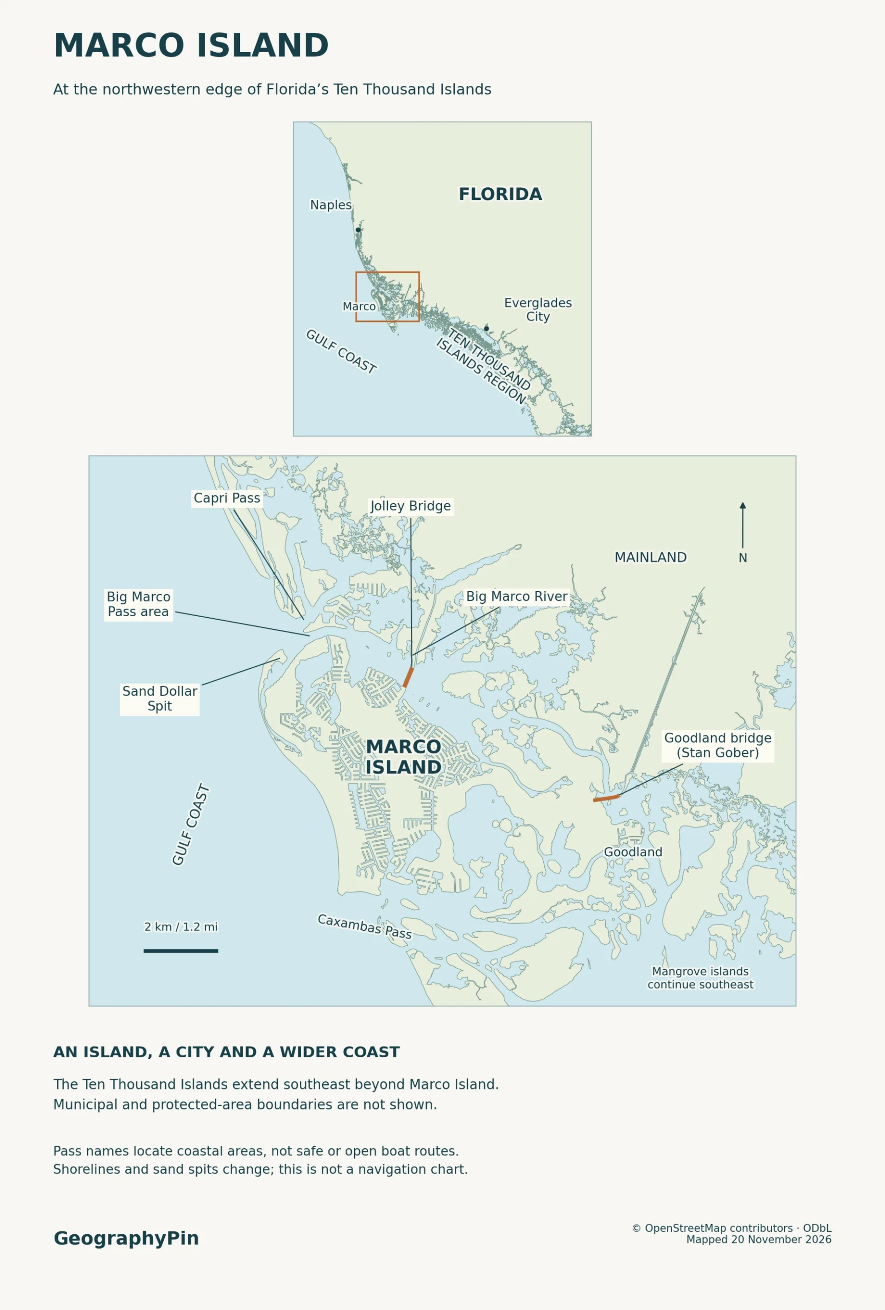
Big Marco Pass, Capri Pass and the road crossings
The Jolley Bridge crosses Big Marco River, not the old pass
Collier Boulevard reaches the island from the north on the Judge S.S. Jolley Bridge over Big Marco River. The eastern road approach is San Marco Road over the Stan Gober Memorial Bridge, also known as the Goodland Bridge. Both approaches connect to the US 41 corridor on the mainland. Goodland is a separate community near the eastern approach, not a second name for the whole island.
Big Marco Pass, by contrast, is the name of a historic opening at the Gulf-facing northwestern end. Coastal researchers reconstruct a second opening, Capri Pass, after a natural breach in 1967. The two passes carried flow for a time; Capri Pass took more of the tidal exchange and the old Gulf opening at Big Marco Pass closed in the 2000s as sand shifted toward Marco Island (Dabees and colleagues, 2022).
The 2026 U.S. Coast Pilot uses Capri Pass as the Gulf-side reference and distinguishes it from the mainland-side bridge crossing of Big Marco River.
The old pass name still appears on maps and in the state’s Big Marco Pass Critical Wildlife Area. A place name can outlast the exact shape of the waterway it once described. On a modern map, use the pass label to find the area, not to infer a boat route through a gap shown on an older map.
The developed northwestern Gulf shore
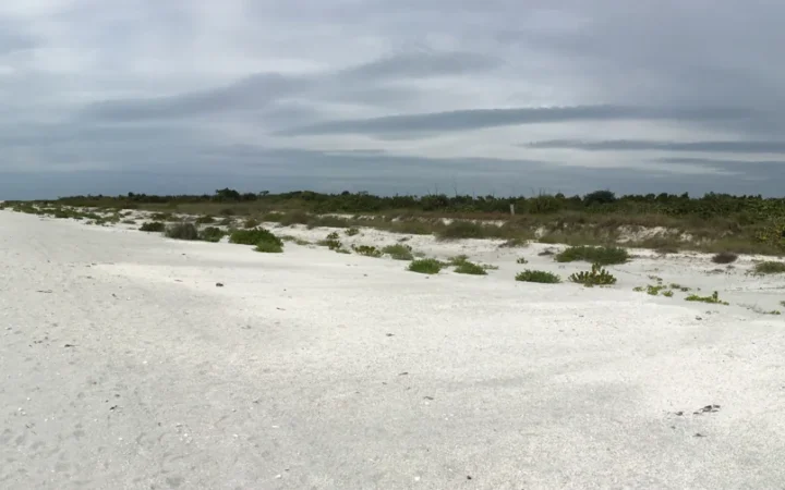
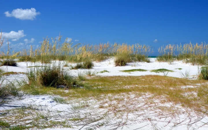
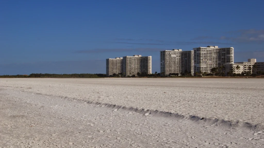
Marco’s northwestern Gulf shore combines two very different edges. Along the developed frontage, buildings and streets sit behind a broad sandy beach. At Tigertail, a sand spit extends along the Gulf side of a tidal lagoon. The spit, lagoon and former inlet are connected pieces of the same shifting coast, not three interchangeable names for a beach.
The developed parts of Marco changed in a different way. The city’s history of the Mackle brothers describes large-scale development from the 1960s, including waterfront construction tied to dredging and filling. Some of the straight channels on a current map are residential waterways; their shape and setting differ from the looping creeks among the mangroves.
How storm waves moved sand at Tigertail
Sand deposited near the former pass gradually moved landward and helped form the spit known as Sand Dollar Island. At Tigertail Lagoon, storm waves can carry sand over the spit and leave it on the lagoon side. That process, called overwash, can wear down one part of a beach while building up another. A city restoration report documented additional landward movement and overwash after Hurricane Ian in September 2022.
There is also deliberate sediment work: the restoration project was designed to retain tidal exchange and manage how sand moves through the spit-and-lagoon system. A dated aerial image or survey can therefore reflect waves, tides, storms and intervention, not a permanent coastline.
Mangrove islands southeast of Marco
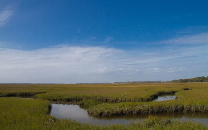
Southeast of Marco, the landscape becomes a patchwork of mangrove-fringed islands, mudflats and tidal creeks. Sheltered shallows can look almost solid at one water level and turn into a set of visible channels at another. This is not simply the developed Gulf beach repeated a thousand times: many of these islands have a different physical origin.
The National Park Service describes some of the Ten Thousand Islands as higher ground left above water as the coast flooded, while others took shape where mangroves grew on oyster bars. Shell accumulations can provide a surface for roots; the plants then help hold sediment and organic matter. The rocky or muddy base may be hidden under the canopy seen on an aerial map.
The regional name covers land and water under different managers. The U.S. Fish and Wildlife Service maps the Ten Thousand Islands National Wildlife Refuge along part of the Collier County coast, beside Everglades National Park, which also contains part of the island-and-water landscape. The Rookery Bay National Estuarine Research Reserve includes coastal waters and wetlands near Marco and beyond. Use the relevant agency’s map to check a specific site.
How to read shoreline and city limits
Four names, four different map questions
| Name on the map | What it describes | What not to assume |
|---|---|---|
| Marco Island | The physical barrier island | The land-water edge is not the city line. |
| City of Marco Island | An incorporated municipality in Collier County | The jurisdiction includes more than the main landmass. |
| Ten Thousand Islands | A wider group of islands, tidal waters and shoreline | The regional name is not a municipal boundary or a literal island count. |
| Ten Thousand Islands National Wildlife Refuge | A specific federally managed area | Its boundary does not contain the whole region or match the national park. |
A city planning document provides a concrete example: the city annexed nearby Key Marco, also called Horrs Island, in 2004. The island name on a physical map and the inked boundary of the city are answering different questions. To see which parcels or waters are actually in the municipality, open the city’s GIS and use its City Limits layer.
For a shoreline comparison, start with the source date and the kind of line drawn. A beach edge or exposed flat changes with tide, sand movement and storms. Neither the line in a coastal survey nor the edge of a colored road-map label settles a legal city boundary. This is also why the atlas does not draw a hard outer boundary around the full Ten Thousand Islands region.
Frequently Asked Questions
Where are the public beach entrances on Marco Island?
The city lists Tigertail Beach Park off Hernando Drive and South Marco Beach Access on South Collier Boulevard. They lead to different stretches of shore. Check the city or Collier County before setting out for current access and parking information.
Is every part of Sand Dollar Island open to visitors?
No. Florida Fish and Wildlife Conservation Commission says submerged mudflats in the Big Marco Pass Critical Wildlife Area are posted year-round and that nesting areas may be posted closed from February 15 to August 31. Follow current signs; the regional map does not mark places where you can land or wade.
Do you need a boat to visit the wildlife refuge?
Not to see part of the mainland refuge. The U.S. Fish and Wildlife Service identifies the Marsh Trail as its principal mainland public access. It names Goodland and Port of the Islands as boating access points for the waterways; the refuge mailing address in Immokalee is not a launch.
What Did We Learn Today?
Marco Island is the road-linked barrier island south of Naples. Big Marco River is the mainland-side bridge crossing; the historic Big Marco Pass belongs to the changing Gulf shore by Tigertail. The wider mangrove islands extend southeast beyond the city. Read a shoreline, a city limit and a refuge boundary as three different lines.
Sources & Data Notes
The USGS Marco Island 2021 quadrangle, city comprehensive plan and bridges and Collier County bridge name and San Marco Road identify the island and road crossings, while the city water supply plan and the Key Marco annexation and city GIS City Limits layer distinguish the municipality. The city history of waterfront development, 2022 study of the inlet and Tigertail Lagoon and city restoration report and Ian effects document different ways the developed shore and Tigertail have changed. The NPS on mangrove island origins, National Park Service Ten Thousand Islands, U.S. Fish and Wildlife Service refuge and access, U.S. Fish and Wildlife Service boundary plan and Florida DEP Rookery Bay reserve map explain the islands and the scope of managed areas. Check city public beach locations and Florida Fish and Wildlife Commission wildlife-area signs for public access and posted closures. The atlas is a locator, not a current nautical chart or legal boundary map. The opening photograph is by olekinderhook (CC BY 3.0), cropped and converted to WebP. Editorial responsibility: Zurab Koniashvili (Z.K. Atlas); AI tools assisted in preparation.
Map: GeographyPin; shorelines, geographic locations and bridge geometry from OpenStreetMap contributors (ODbL). The map shows geographic context, not a navigable pass, access conditions or legal boundaries.