Lake Okeechobee is wide enough to dominate a map of southern Florida, yet surprisingly shallow. Its geography makes sense when you connect the basin’s depth with the river entering from the north and the managed water routes leaving it.
Lake Okeechobee is a large freshwater lake in southern Florida, with a published reference area of about 730 square miles (1,890 km²) and average depth of 9 feet (2.7 m). It receives Kissimmee River water and connects to the wider Everglades system, but modern canals and control structures have altered historical flow patterns.
How to use this article: Start with the location, explore why shallowness matters, compare today’s water routes, or clarify depth versus lake level.
1. Where Lake Okeechobee Is
A lake near the center of the Greater Everglades
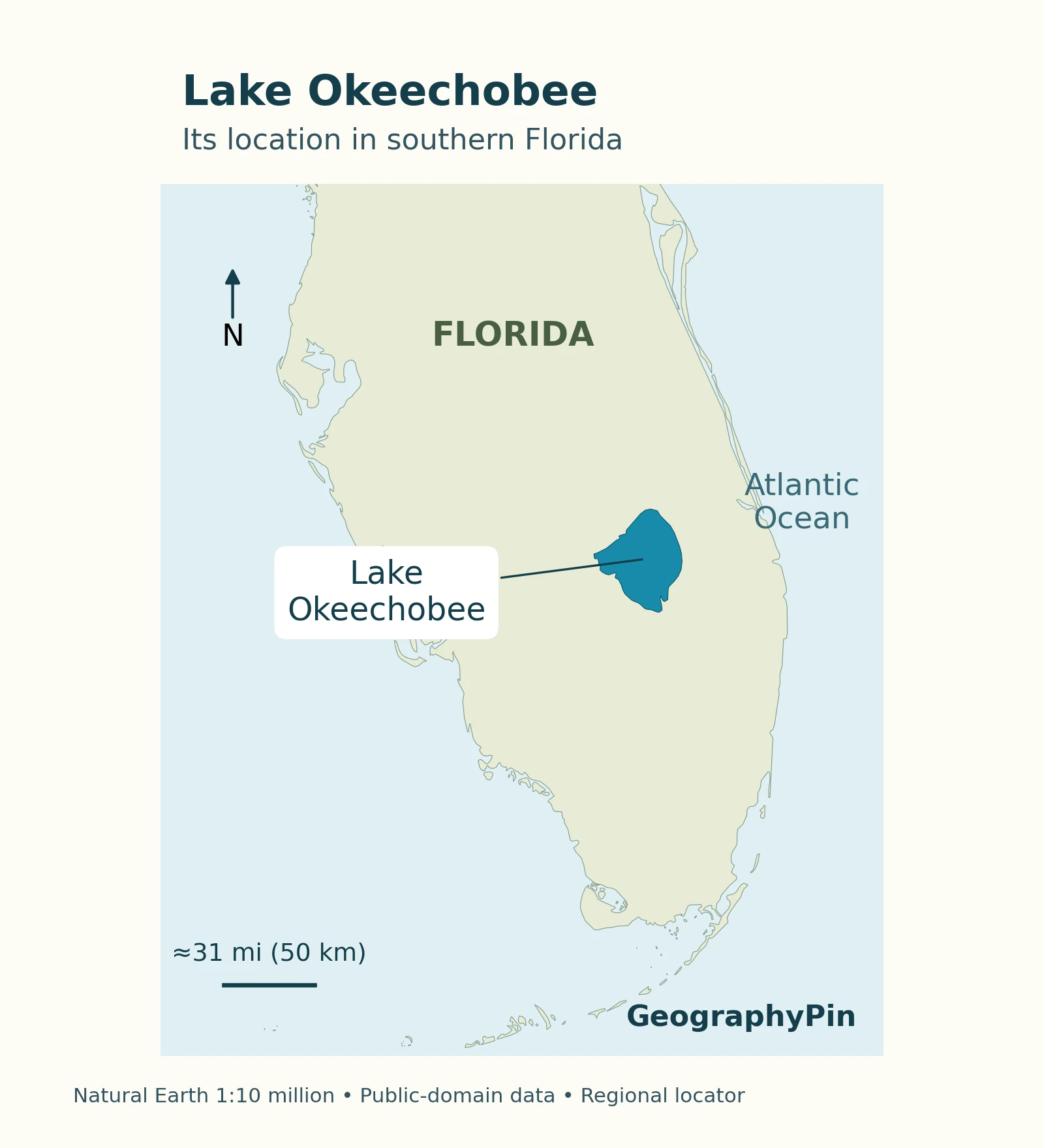
Lake Okeechobee occupies a broad inland basin in southern Florida. The Kissimmee River approaches from the north, while the Everglades extend southward. Looking at that north–south relationship explains more about the lake than simply locating the nearest coastal city.
The South Florida Water Management District’s lake overview places it within the Greater Everglades watershed, a connected system reaching from the Kissimmee basin toward Florida Bay. It is a freshwater lake, not a coastal lagoon exchanging directly with seawater.
Size and depth describe a broad, shallow basin
| Measure | Reference value | How to read it |
|---|---|---|
| Surface area | About 730 square miles (1,890 km²) | Rounded geographic reference, not a fixed shoreline |
| Average depth | About 9 feet (2.7 m) | Not maximum depth or a boat’s available clearance |
| Water type | Freshwater | Managed connections to coastal estuaries do not make the lake marine |
The source does not attach a survey date or lake stage to those summary measurements. Use them to understand scale, rather than implying that every bay is 9 feet deep. Water-level changes alter how much of the basin is submerged.
2. Why Shallowness Changes the Lake
A large surface gives wind room to work
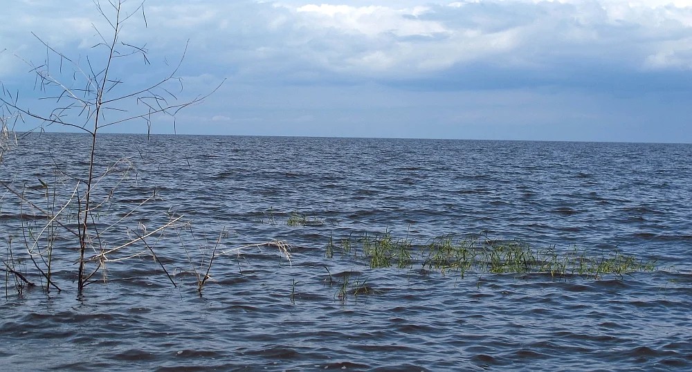
A deep-looking horizon can be misleading. Across a broad shallow lake, wind can generate waves, push water toward one shore, and disturb sediment on the bottom. The important contrast is not just “large versus small,” but the size of the exposed surface relative to the water beneath it.
Two effects need separating. A rise in the lake’s overall stored water can follow rainfall and inflow. Wind can also redistribute water within the basin, temporarily raising the surface on one side while lowering it elsewhere. One shoreline observation does not always describe the whole lake.
What Hurricane Irma demonstrated
During Hurricane Irma in September 2017, SFWMD documented strong wind-driven differences in lake stage between the eastern and western shores. Its assessment through April 2018 also described uprooted marsh vegetation and sediment stirred into the water. This was a particular storm’s impact, not a picture of everyday conditions.
Resuspended sediment makes the water more turbid and can carry nutrients. The USGS Lake Okeechobee sediment project investigates sediment transport toward the Caloosahatchee and St. Lucie systems. That research connects lake-bottom processes with downstream water quality without making every algal bloom attributable to a single source.
For the broader distinction between a basin, its watershed, and its water balance, see what is a lake? Okeechobee is a useful example because its area alone tells only part of the story.
3. The Historical Route South

Kissimmee inflow and Everglades sheetflow
Before extensive drainage and water-control works, water moved down the Kissimmee River into Lake Okeechobee and continued south across the low-lying Everglades. Rather than following one narrow river channel all the way to the coast, much of this movement spread across a broad wetland landscape.
That is the meaning of sheetflow: shallow water moving across a wide area. The National Park Service’s history of Everglades development describes a connected landscape of marshes, sloughs, ponds, and higher ground. “River of Grass” is therefore a helpful landscape description, not a claim that every part behaves like a conventional river.
Rainfall also supplied the wetlands directly. A simplified north-to-south diagram shows the major connection; it should not suggest that every drop in the Everglades originated in Lake Okeechobee or that the flow was identical throughout the year.
Drainage infrastructure changed the connections
Canals provided more concentrated routes for water, while levees, roads, and control structures divided the landscape. Congress authorized the Central and Southern Florida Project in 1948, combining flood protection and water supply with other purposes.
The SFWMD Everglades overview explains how modern Water Conservation Areas and other infrastructure changed connections across the marshes. A historical flow map cannot therefore be read as a map of today’s uncontrolled drainage. The lake remains part of the larger system, but the routes, timing, and constraints have changed.
4. Today’s Managed Water Connections
East, west, and south are different routes
Modern management can direct lake water toward the St. Lucie system to the east, the Caloosahatchee system to the west, and managed waterways and wetlands to the south. These are connections in a network, not a promise that water is being released in every direction at this moment.
| Direction | Connection | Key distinction |
|---|---|---|
| North | Kissimmee River basin | An important inflow connection |
| East | St. Lucie Canal, also called C-44 | Engineered connection toward the St. Lucie estuary |
| West | Caloosahatchee system, including C-43 | Managed route toward the western coast |
| South | Canals, storage, treatment, and conservation areas | Multiple managed pathways, not one free-flowing river |
The Army Corps’ explanation of the lake’s water routes is useful for the network’s geography. Its older operating details should not be confused with the newer management framework.
Storage and treatment do different jobs
A storage facility holds water so its timing and volume can be managed. A treatment wetland addresses water quality. SFWMD explains that Stormwater Treatment Areas use aquatic vegetation to reduce nutrients before water reaches the central Everglades, while flow-equalization basins help regulate water supplied to treatment.
These functions are complementary, not interchangeable. A bigger storage volume does not itself prove that water meets a treatment target. Nor does a treatment area remove the need to consider how much water downstream wetlands can receive and when. The southbound system is consequently more complex than opening one gate between the lake and Florida Bay.
An operating manual, not a fixed release rate
The Lake Okeechobee System Operating Manual, or LOSOM, replaced the LORS08 framework in August 2024. SFWMD’s operational-planning page links the signed decision and publishes technical summaries and outlooks.
For readers, the practical distinction is between a lasting geographic connection and an operational decision. A canal can exist even when no lake release is passing through it. Current rainfall, lake conditions, downstream needs, and the applicable operating rules belong in dated operational reports, not an undated map caption.
5. Reading Water Levels and Planning a Visit
Depth and elevation are not the same measurement
Depth measures the vertical distance from the water surface to the bottom at a location. Water-surface elevation, often reported as lake stage, measures the surface against a specified vertical reference system. A lake-level number is therefore not automatically the depth beneath a boat.
SFWMD has shifted its water-level reporting from NGVD 29 to NAVD 88. Its water-level guidance explains that a different reference can produce a different reported number without any physical change in the water surface. Keep the date and datum attached when comparing readings; do not apply one universal conversion to every gauge.
Match the information to the activity
Use the geographic map to understand the lake’s position, and the flow diagram to understand connections. For a particular outing, use current official information about the launch site, navigation, weather, and any local water-quality notice. A photograph shows a place at one moment, not its present conditions.
Readers following environmental news should also check the scope of a number: lake-wide average, a shoreline gauge, a downstream discharge, and a treatment-area reading answer different questions. Keeping those categories separate is essential to understanding a shallow, actively managed water system.
Frequently Asked Questions
Is Lake Okeechobee inside Everglades National Park?
No. It belongs to the broader Greater Everglades water system, but that system is larger than the national park. The National Park Service’s regional explanation distinguishes the lake, conservation areas north of the park, and delivery into the park itself.
What Did We Learn Today?
Lake Okeechobee combines a very broad surface with shallow water, making wind, sediment, and changing levels central to its geography. The Kissimmee connection and historical southward sheetflow explain its place in the Greater Everglades; today’s canals, storage, treatment, and operating rules explain why that connection is no longer simply uncontrolled drainage. A useful reading of the lake keeps depth, elevation, water quality, and release decisions distinct.
Sources & Data Notes
Physical figures are SFWMD’s rounded reference values; the summary does not specify a measurement date or lake stage. Metric conversions are rounded. The Irma example refers to the 2017 storm and findings reported through April 2018. No current lake level, discharge, navigation clearance, or water-quality condition is implied.
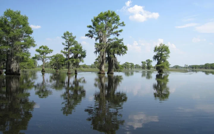
The locator uses generalized public-domain Natural Earth geometry, with an approximate scale. The flow diagram summarizes source-described connections rather than geographic channel positions. Featured photograph: Richard apple / Wikimedia Commons, CC BY-SA 3.0; converted to WebP, with the photograph retained under the same license. The photograph is a historical view, not a current conditions report.
- SFWMD: Lake Okeechobee, physical reference and regional context.
- National Park Service: Development in the Everglades, historical flow and drainage works.
- SFWMD: Everglades, historical connections and modern compartmentalization.
- SFWMD: Ecological effects of Hurricane Irma, dated lake-impact example.
- USGS: Lake Okeechobee Sediment Transport Project.
- USACE: Lake Okeechobee, following the flow, geographic connections; not the current operating schedule.
- SFWMD: Stormwater Treatment Areas, storage and treatment functions.
- SFWMD: Operational planning, LOSOM decision and dated reports.
- SFWMD: Real-time water levels and datum guidance.