Travel Guides
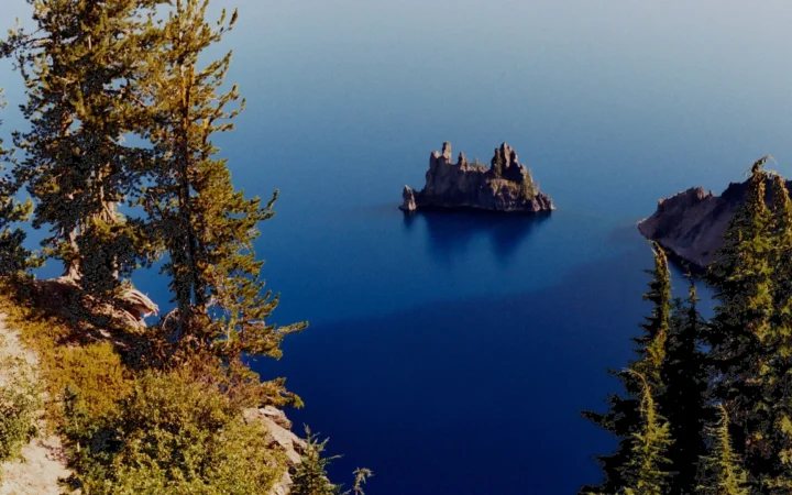
Crater Lake Rim Drive by Viewpoint and Open Road Section
Crater Lake Rim Drive is the 33-mile (53-km) road around the caldera in southern Oregon. Start with the section that reaches your chosen overlook.…
Learn geography
Practical geography-led travel guides that explain where places are, how regions connect, and what visitors should know before planning a trip.
Crater Lake Rim Drive is the 33-mile (53-km) road around the caldera in southern Oregon. Start with the section that reaches your chosen overlook.…
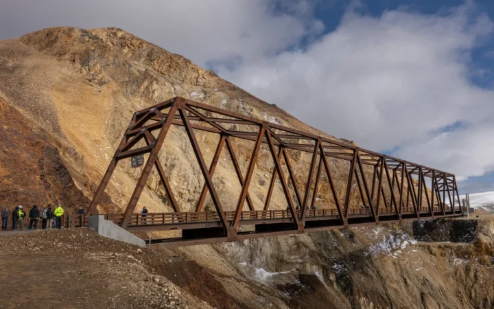
Denali Park Road runs west for 92 miles from Alaska’s Parks Highway. The line on the map is the whole road, not the part…
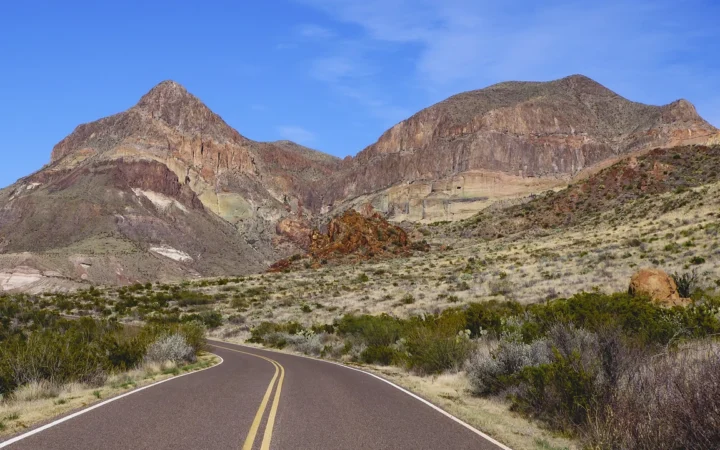
Ross Maxwell Scenic Drive crosses the western side of Big Bend, from the desert overlooks near the Chisos Mountains down toward the Rio Grande.…
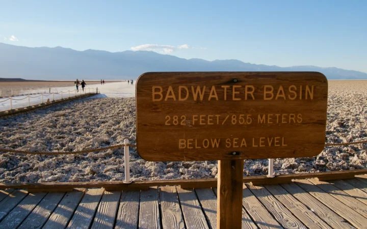
Badwater Basin is the part of Death Valley that reaches 282 feet (86 meters) below sea level. You don’t have to walk to the…
Arches National Park has one main paved drive, but it’s easy to lose time at the wrong turnoff. At Delicate Arch, for example, the…
The Douro Valley train from Porto normally follows the river through Régua and Pinhão to Pocinho. For a trip during the current works, plan…
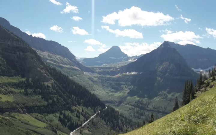
In Montana’s Glacier National Park, the best entrance depends on which lake or viewpoint you want to reach. Going-to-the-Sun Road links the two sides…
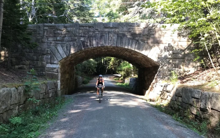
Acadia’s carriage roads are a second network alongside the roads you drive on Mount Desert Island. The numbered wooden posts tell you where gravel…
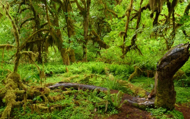
An Olympic National Park itinerary starts with the roads, not the distance between dots on a map. The mountain ridge, rain forest and Pacific…
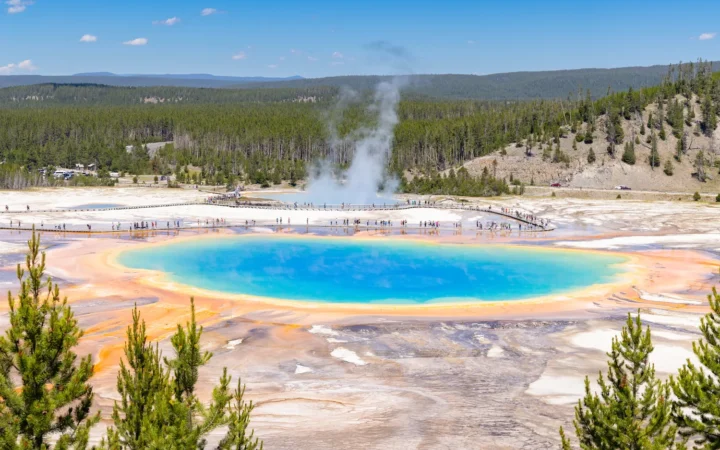
Old Faithful, Grand Prismatic Spring and Norris are separate stops on Yellowstone’s western road network. Even Grand Prismatic Spring has two different approaches: one…