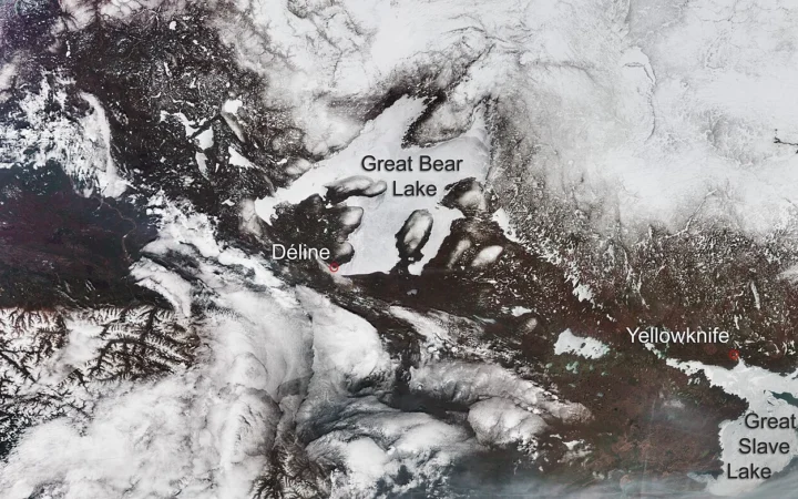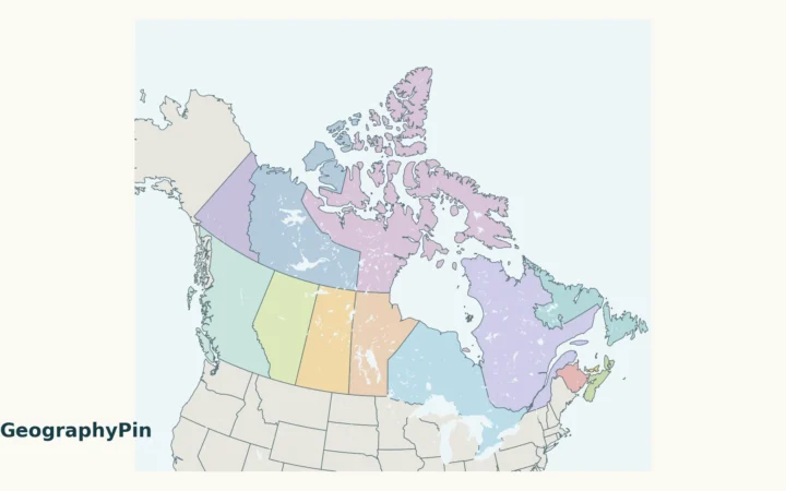
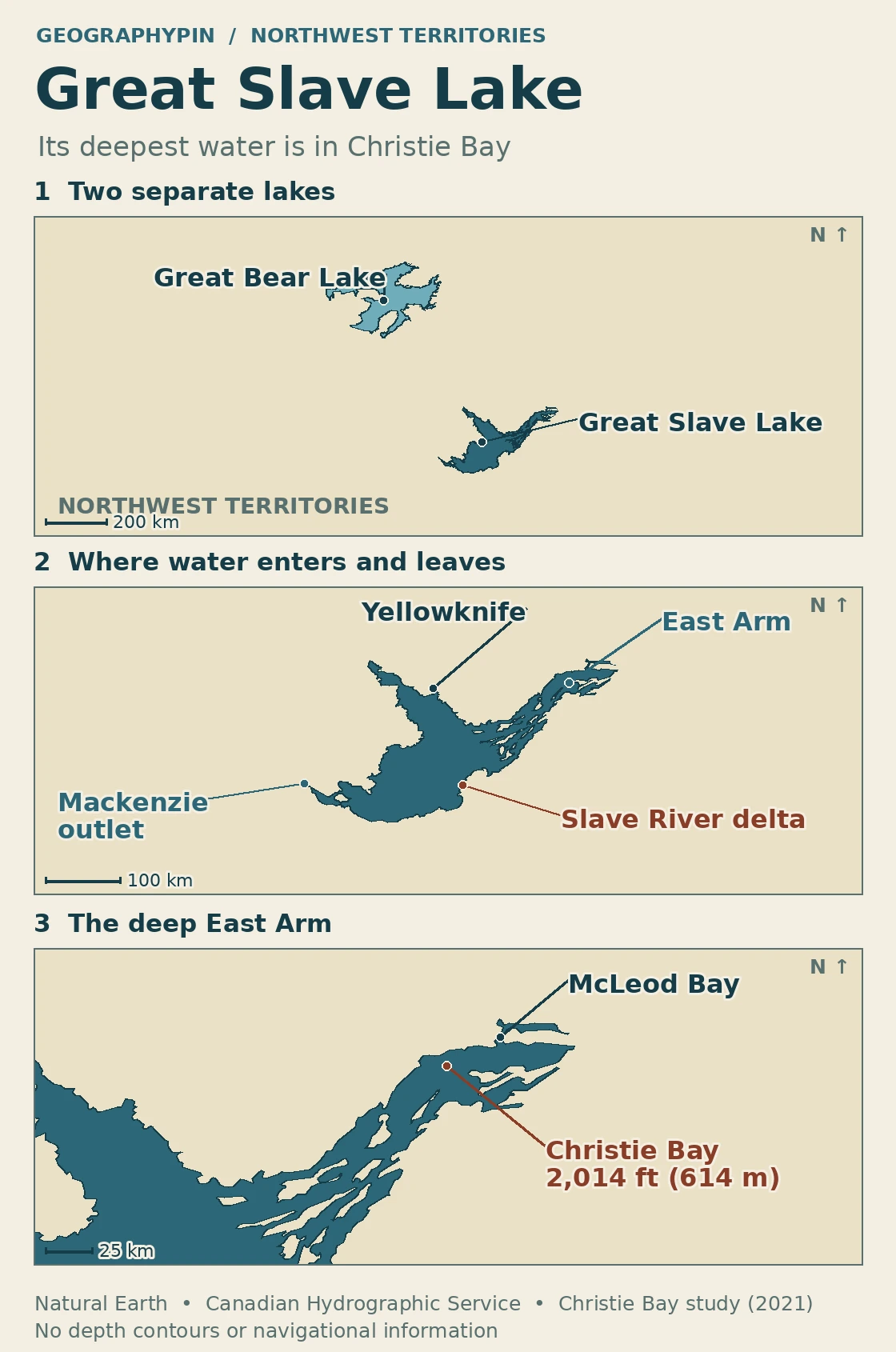
Great Slave Lake lies in Canada’s Northwest Territories, southeast of Great Bear Lake. Great Bear covers more surface area, but Great Slave is deeper. Its deepest recorded water, about 2,014 feet (614 m), is in Christie Bay, one of the long bays that make up the lake’s East Arm.
The Slave River enters the lake through a delta on its southern shore. Water leaves at the western end as the Mackenzie River. Neither feature marks the location of the deepest water.
How to use this article: Find the two northern lakes, zoom in on Christie Bay, then follow the water from the Slave River delta to the Mackenzie outlet.
Where Great Slave Lake sits
Find Great Slave Lake and nearby Great Bear Lake
Look for Yellowknife on the north side of Great Slave Lake. The lake stretches from the Mackenzie outlet near Fort Providence in the west to narrow bays cut into the Canadian Shield in the east. Great Bear Lake is a separate lake farther northwest; it joins the Mackenzie system by way of the Great Bear River, not the East Arm.
Why the East Arm is so deep
What the Christie Bay depth measures
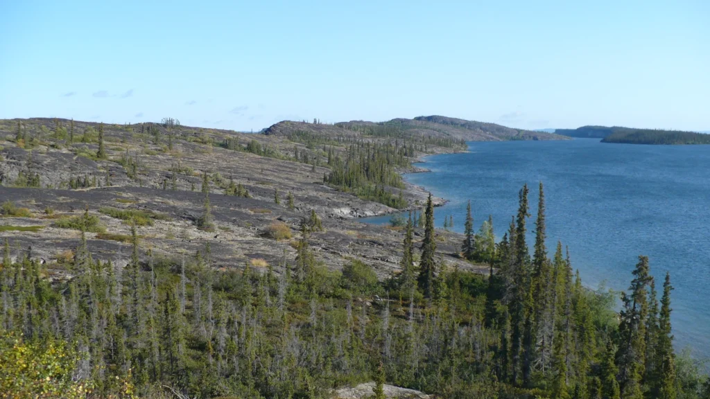
The East Arm is made up of long troughs separated by ridges and peninsulas. It has two particularly large branches: McLeod Bay to the north and Christie Bay to the south. The bays follow the same southwest-to-northeast alignment as nearby ridges and islands. At Pethei Peninsula, the Canadian Hydrographic Service describes alternating sedimentary and igneous rock, layered into steep ridges above the water. Their present depth also varies sharply: researchers report a recorded maximum of around 961 feet (293 m) in McLeod Bay and 2,014 feet (614 m) in Christie Bay.
Most of the lake does not look like Christie Bay underwater. A government survey put the maximum in the main lake west of the East Arm at about 535 feet (163 m) for the area it defined. That is less than one-third of Christie Bay’s maximum. The narrow bay is deeper than the huge water surface to its west; the shoreline alone does not reveal the difference.
Where the Slave River spreads into a delta
Where the Slave River enters the lake
On the south shore by Fort Resolution, the Slave River splits into channels before it reaches the open lake. The Canadian Hydrographic Service describes the delta as extending roughly 12 miles (19 km) along the shore between the Jean River and Sawmill Channel ends of the delta. That is a span across the delta, not the length of one river channel.
The delta marks an inlet: the Slave River brings water and sediment into the lake. Around the river mouths, the shallower water and branching channels contrast with the steep-sided bays of the East Arm. Fort Resolution is on the mainland shore near the delta, not at the outlet of Great Slave Lake.
The outlet that becomes the Mackenzie
Where the Mackenzie leaves the lake
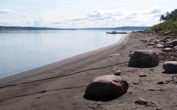
Water leaves through the west end of the lake into the first reach of the Mackenzie River. Near Fort Providence, the river passes through a broad widening called Mills Lake before continuing west and ultimately turning north toward the Arctic Ocean. The lake’s east end thus contains its greatest depth, but the route out of the lake is at the opposite end.
What the shoreline does not tell you
The map outlines water, not depth. Use the recorded maxima to compare the underwater basins, not the width or color of a bay. The deep-site marker is based on the approximate chart position reported by a scientific study; it is not a surveyed navigation waypoint.
| Water body | Maximum depth | What the number describes |
|---|---|---|
| Great Slave Lake | 2,014 ft (614 m) | Christie Bay, East Arm |
| Great Bear Lake | 1,463 ft (446 m) | The deepest recorded part of a separate lake |
| Great Slave Lake’s main lake | 535 ft (163 m) | Historic survey’s area west of the East Arm |
Frequently Asked Questions
How much deeper is Great Slave Lake than Great Bear Lake?
Their recorded maximum depths differ by about 551 feet (168 m). This compares the deepest recorded part of each lake, not the typical depth across either lake.
What other names might appear on an official map?
On federal bilingual maps look for Grand lac des Esclaves, the official French name. The Thaıdene Nëné management plan uses Tu Nedhé alongside Great Slave Lake. These are names for the lake, not for Christie Bay alone.
Is the Slave River the same waterway as the Mackenzie River?
No. They are connected through Great Slave Lake but have different names and roles. The Slave River flows into the lake from the south, while the Mackenzie begins at its western outlet.
Does the national park reserve cover the entire East Arm?
No. Thaıdene Nëné National Park Reserve includes part of Christie Bay and other areas around the eastern end. The East Arm is a physical part of Great Slave Lake, not a park boundary.
What Did We Learn Today?
Great Bear Lake is larger by surface area, but Great Slave Lake is deeper. Christie Bay holds the deepest recorded water. The Slave River delta marks where water enters from the south, and the Mackenzie begins at the western outlet.
Sources & Data Notes
Show sources and map notes
- Environment and Climate Change Canada, Arctic Regional Guide, 2017; 2021 Christie Bay field study; 2023 sediment and lake study. The Christie Bay marker shows the approximate Chart 6341 deep site used to locate the study mooring, not an exact sounding position.
- Canadian survey of the northern lakes, historical main-lake value. The survey used a longitude convention for its main-lake/East Arm depth comparison and reported 612 m in Christie Bay; the article uses 614 m from the later sources above. Northern Lake Impacts on Local Seasonal Climate, 2007, for Great Bear Lake depth.
- Canadian Hydrographic Service, Great Slave Lake and Mackenzie River, ARC 404, July 2023, for East Arm geography and the Slave River delta. NASA Earth Observatory, 2015, for the outlet landscape.
- Natural Resources Canada’s pan-Canadian geographical names and Parks Canada’s 2026 Thaıdene Nëné relationship plan for names; Parks Canada’s agreement summary for reserve scope.
- Original GeographyPin maps from Natural Earth 1:10m lakes (public domain), with generalized water outlines and independent labels from the sources above. The image does not trace navigation routes, survey lines or protected boundaries.
- Featured photograph: Utsingi Point on the East Arm, Paul Gierszewski, August 2008, public-domain dedication on the original file page. Cropped and converted.