The Columbia ends on the Oregon–Washington coast, but it starts out flowing northwest in British Columbia. A map of the whole basin tells a different story from the river line: some of the water that reaches the Columbia in Canada has already passed through the United States.
The Columbia River starts at Columbia Lake in southeastern British Columbia, bends south into Washington and reaches the Pacific Ocean west of Astoria, Oregon. The lower river forms much of the Washington–Oregon boundary. Its drainage basin is much wider than the channel: about 15 percent of the basin lies in Canada.
How to use this article: Find the river’s first turn, check where the Snake joins, or compare the two published river lengths.
Read the Columbia River line and the basin fill
Follow the named river from Columbia Lake toward the broad estuary at the coast. The shaded area on the map is the watershed: the land from which surface water can reach that outlet through the Columbia and its tributaries. The river’s path makes a thin line through a basin of roughly 258,000 square miles (668,000 square kilometers), according to the federal river operations analysis.
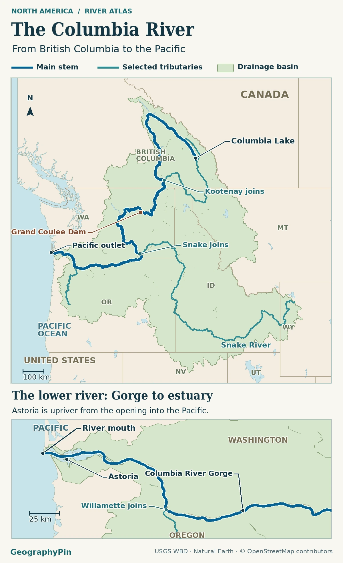
Most of the basin is in the United States. The Canadian share is in southeastern British Columbia and includes land on both sides of the Columbia valley. The 15 percent is a share of land area. It does not say that Canada supplies exactly 15 percent of the water flowing past Astoria.
Columbia Lake, the Canadian bend and the U.S. crossing
The river starts by flowing northwest
Columbia Lake lies in the Rocky Mountain Trench, a long valley in southeastern British Columbia. The river flows northwest along the trench before rounding its Canadian Big Bend and turning back to the south. It then passes through the Arrow Lakes section, picks up the Kootenay and Pend Oreille, and enters northeastern Washington. The whole-system flow is toward the Pacific even though the upper river initially takes the opposite direction.
The Kootenay gives the basin fill some of its least obvious geography. It rises in British Columbia, passes through Montana and Idaho, then returns to Canada before meeting the Columbia. U.S. maps spell it Kootenai. The Pend Oreille also enters the Columbia in Canada after flowing through parts of Idaho and Washington. Neither crossing is a second crossing of the Columbia main stem. These journeys are described in the federal river system assessment.
The Snake junction and Columbia River Gorge
The Snake joins before the Oregon state line
In Washington, the Columbia passes Grand Coulee Dam, bends across the interior and reaches the Tri-Cities, where the Snake River joins it. The Snake brings water from far to the east without changing the name of the downstream channel. Its confluence is in Washington, not on the Oregon line.
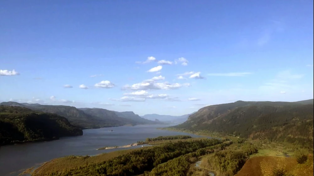
Farther downstream, near the Wallula Gap reach, the lower Columbia begins its long role as the Washington–Oregon boundary. It heads west past Oregon tributaries such as the John Day and Deschutes. At the gorge, the Columbia cuts across the Cascades instead of skirting around them. A little farther downstream, north of downtown Portland, Oregon’s Willamette enters the main river. The USGS mapping study of the northern Cascades and Columbia explains the gorge’s setting.
Astoria and the Pacific entrance
Astoria sits on the Oregon shore of the estuary, where river water and seawater meet. It is upstream of the ocean entrance. On a local map, continue west from the city toward Cape Disappointment on the Washington side and Clatsop Spit on the Oregon side. The federal NOAA Coast Pilot distinguishes Astoria, the entrance and its jetties.
Two figures for the same named river
| Source | Reported length | What the reference uses |
|---|---|---|
| Federal river operations analysis | 1,204 miles (1,938 km) | River reaches from the Corps’ basin modeling schematic. |
| Northwest Power and Conservation Council | About 1,243 miles (2,000 km) | Named course from Columbia Lake to the ocean, with a river-mile-zero reference near Cape Disappointment. |
Both figures concern the Columbia, not the river plus its longest tributary. The sources use different reference frameworks. The Council’s account names the river-mile-zero point; the federal analysis uses modeled reach lengths. An endpoint, a simplified line and a detailed channel trace need not give interchangeable results. The published references don’t isolate how much of the difference comes from any one choice.
What one gauge tells you about the river
A point on a river is not a measurement of the entire watershed. At its Columbia River at The Dalles, Oregon station (14105700), the USGS lists an upstream drainage area of about 237,000 square miles (614,000 square kilometers). That stops at the gauge. The basin to the Pacific includes land entering below The Dalles, including the Willamette basin.
At that station, archived monthly mean discharge for 1961–1990 was about 493,000 cubic feet per second (14,000 m³/s) in June and 95,400 cubic feet per second (2,700 m³/s) in September. Discharge is the volume passing the station in a given time. The two averages show how different months can be at the same location; neither is a current measurement or an ocean-mouth flow.
Frequently Asked Questions
Can a changing estuary change a measured river length?
It can if the measurement follows a different channel or puts the ocean endpoint in a different place. That is a reason to record map scale and the chosen endpoint, not evidence that the Columbia gained or lost the difference between the two published totals.
Where does the Columbia form a state boundary?
From its intersection with the 46th parallel downstream to the coast, the Columbia broadly carries the Washington–Oregon boundary. The USGS boundary history describes the legal line there as a series of straight segments approximating the main channel. Do not infer an island’s jurisdiction from a simplified river line.
Why is Lake Roosevelt labeled along the river?
Lake Roosevelt is the reservoir behind Grand Coulee Dam. A map may label the water surface as a lake while the named Columbia main stem still follows the reservoir reach.
Is the Columbia River Basin the same as the Columbia Basin Project?
No. The basin is the entire drainage area to the Pacific outlet. The Bureau of Reclamation’s Columbia Basin Project is a particular irrigation and water-development project, not the name of the whole watershed.
What Did We Learn Today?
The Columbia begins at Columbia Lake, curves north and back south across British Columbia, and reaches the Pacific west of Astoria. Trace the main river for the route, use the basin fill for the land it drains, and check the reference point before comparing a length or a flow figure.
Sources & Data Notes
The sources include the federal Columbia River System Operations environmental analysis, the Northwest Power and Conservation Council, the U.S. Geological Survey, NOAA and the Bureau of Reclamation. Basin area and shares are rounded; river lengths keep their source conventions and gauge figures describe only the named station and period. AI tools assisted in preparation.
Map: GeographyPin. Watershed fill combines the 17 Columbia and Snake reporting units beginning 170 in the USGS Watershed Boundary Dataset; it includes Canadian headwaters but excludes separately numbered Pacific coastal, Puget Sound and Oregon closed units. The boundary is generalized. Main channel and selected tributary lines are from © OpenStreetMap contributors, ODbL, retrieved November 20, 2026: Columbia, Kootenay/Kootenai, Snake and Willamette. Base: Natural Earth 1:10m (public domain). The map is not a navigation chart or a length measurement.
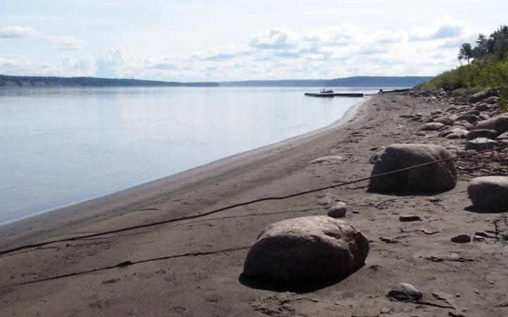
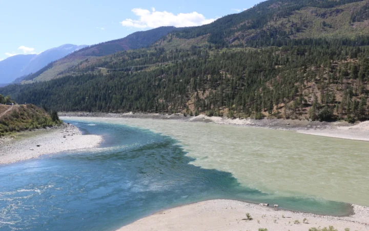
Photograph: View of the Columbia River, Eileen Williamson / U.S. Army Corps of Engineers, Northwestern Division, May 1, 2019; public domain via DVIDS, cropped and converted to WebP. The appearance of U.S. Department of War (DoW) visual information does not imply or constitute DoW endorsement.