Lake Superior covers more water than any other named lake on Canada’s borders. But if you stop counting at the international boundary, Lake Huron comes first. And if you rule out shared lakes entirely, Great Bear Lake in the Northwest Territories wins. Those are three different comparisons, not three competing answers to one rule.
The winner depends on where you stop counting
Lake Superior is the largest named lake touching Canada by whole-lake surface area. Lake Huron has the largest Canadian share, while Great Bear Lake is the largest natural freshwater lake entirely within Canada. The table compares the same ten lakes so you can see how the boundary changes the order.
How to use this article: Start with the three possible winners, then see why two rounded figures can tie, why Michigan is not counted and what else the ranking excludes.
Which Lakes Count and What “Largest” Measures
This comparison includes named natural freshwater lakes with some surface area inside Canada. A shared lake can qualify, but it can appear under two different measurements: the water across the entire lake or only the part within Canada. Surface area does not measure depth, water volume or the land that drains into a lake.
Three versions of the same question
Lake Superior leads by the whole lake, Lake Huron leads by the Canadian share, and Great Bear Lake leads if every part of the lake must lie in Canada. A lake crossing an internal boundary still counts as fully Canadian. Lake Athabasca, for example, lies in both Alberta and Saskatchewan, not in two countries.
The Ten Largest by Whole-Lake Surface Area
The first rank counts both sides of the international boundary for the four shared Great Lakes. For the other lakes in this table, the whole lake and Canadian share are the same. The Canada Water Agency uses named Great Lakes separately, so this table does too.
| Full-area rank | Lake | Whole lake (km²) | In Canada (km²) | Canada-only rank | Where |
|---|---|---|---|---|---|
| 1 | Lake Superior | 82,100 | 28,700 | 3 | Ontario and U.S. |
| 2 | Lake Huron | 59,600 | 36,000 | 1 | Ontario and U.S. |
| 3 | Great Bear Lake | 31,328 | 31,328 | 2 | Northwest Territories |
| 4 | Great Slave Lake | 28,568 | 28,568 | 4 | Northwest Territories |
| 5 | Lake Erie | 25,700 | 12,800 | 6 | Ontario and U.S. |
| 6 | Lake Winnipeg | 24,387 | 24,387 | 5 | Manitoba |
| 7 | Lake Ontario | 18,960 | 10,000 | 7 | Ontario and U.S. |
| 8 | Lake Athabasca | 7,935 | 7,935 | 8 | Alberta and Saskatchewan |
| 9 | Reindeer Lake | 6,650 | 6,650 | 9 | Manitoba and Saskatchewan |
| 10 | Nettilling Lake | 5,542 | 5,542 | 10 | Nunavut |
Download the lake-area comparison (CSV)
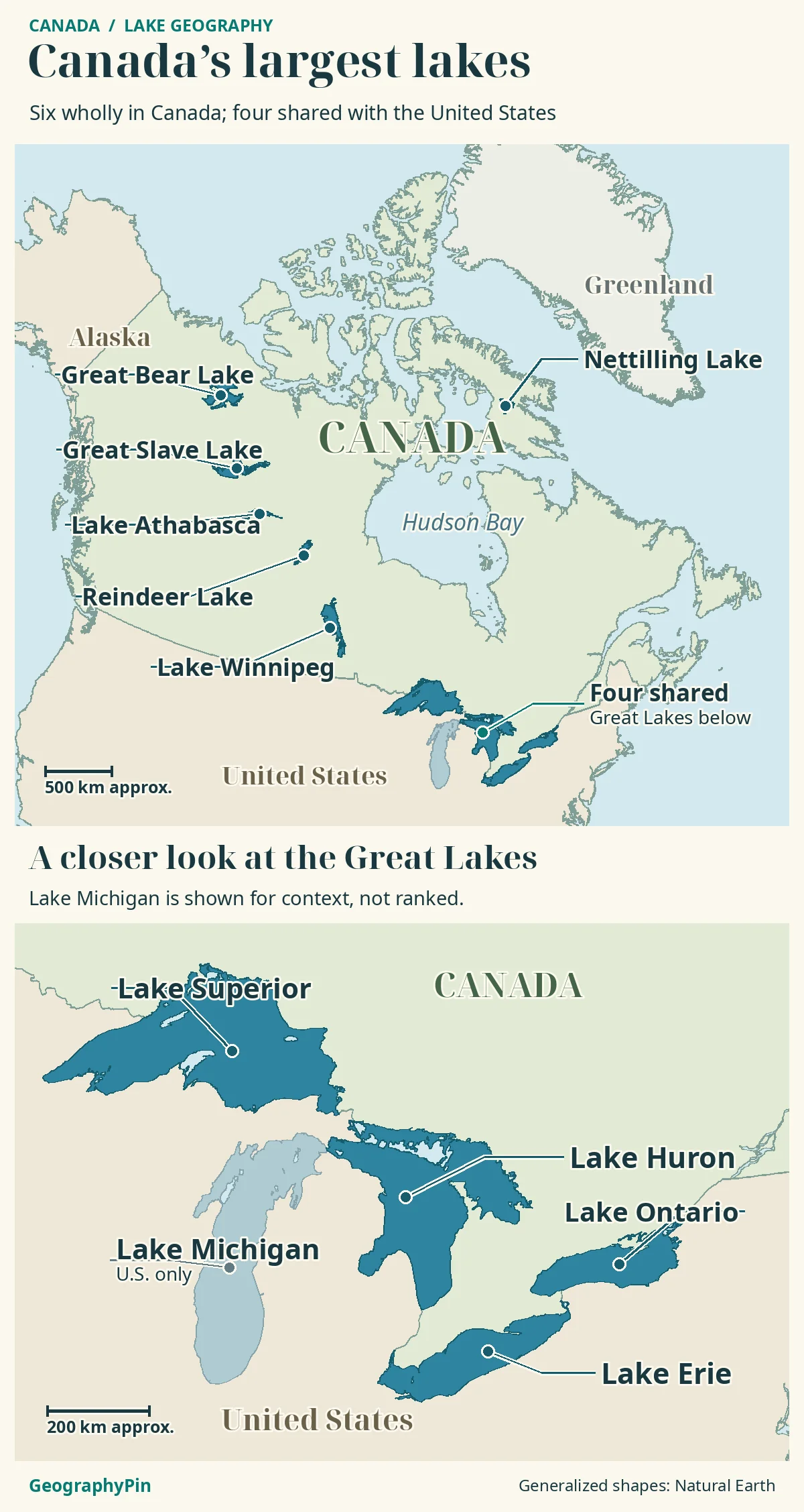
Superior is far ahead by its entire surface. Huron ranks next. Great Bear and Great Slave are smaller than those two transboundary lakes, but larger than Erie when their whole water surfaces are compared under this convention.
What Changes When You Count Only Canadian Water?
Sorting by the “In Canada” column moves Lake Huron to first and Great Bear to second. Superior and Great Slave become very close, and Lake Winnipeg rises above the Canadian shares of Erie and Ontario. The difference reflects which water is included, not a change in any lake’s physical size.
A calculation you can repeat
Take the two published Canadian-area figures for Superior and Great Slave: 28,700 minus 28,568 is 132 square kilometers. That is the gap in this reference table, not survey-level precision. Rounded to the nearest 1,000 square kilometers, both become 29,000. This is why “29,000 square kilometers” alone cannot settle their order and why mixed-source rankings should show their reference values.
The Great Lakes Border Cases
Canada shares Lakes Superior, Huron, Erie and Ontario with the United States. Lake Michigan is entirely in the United States, so the separate named lake does not qualify. Georgian Bay is part of Lake Huron for this comparison. Do not add it again as if it were a separate qualifying lake. This Canadian comparison uses the official Canadian name Lake Ontario. U.S. federal geographic references use Lake America following an August 2026 executive order; the two names refer to the same lake in this table.
One connected water body or two named lakes?
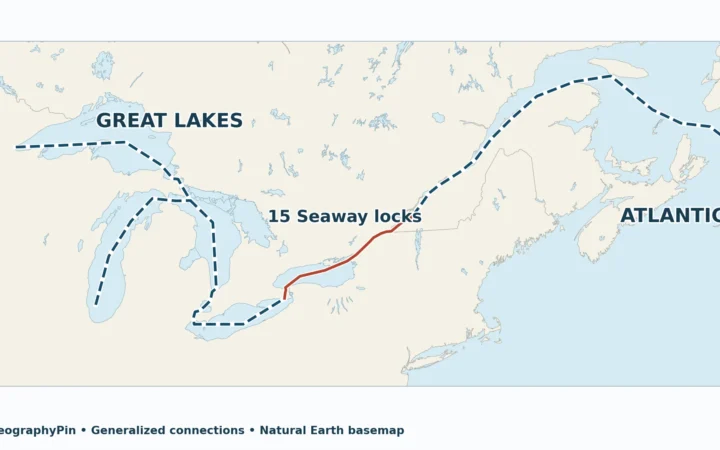
Michigan and Huron meet at the Straits of Mackinac. The Canadian government’s water-level service explains that they can be treated as one hydrologically connected water body. That would change the question and the area ranking. For a comparison of separately named lakes, the standard Great Lakes reference table still lists them on separate rows.
How to Read the Numbers and the Map Together
The references do not measure the same thing in every column. For the whole shared Great Lakes, use the Canada Water Agency’s water-area figures, not its “Total Area,” which includes the surrounding land drainage area. For the Canadian portions and the other listed lakes, use Statistics Canada’s table based on the Atlas of Canada. These are reference figures, not estimates of water coverage on a specific day.
Reservoirs, tidal waters and other close cases
Artificial reservoirs, such as Smallwood Reservoir, and tidal waters, such as Lake Melville, are outside the rule even if a reference table groups them under principal lakes. Lake of the Woods is a natural lake shared with the United States, but it is below this top ten whether its full area or Canadian share is counted. Winnipegosis is not Lake Winnipeg, and its published area is below Nettilling’s in this comparison.
Frequently Asked Questions
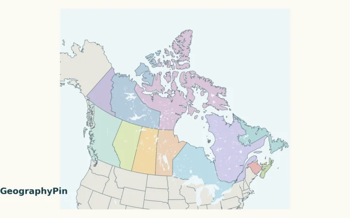
Can I compute a lake’s Canadian share from this locator map?
No. A locator map simplifies the shoreline and border. An independent estimate would need detailed water and boundary layers, a consistent treatment of islands and an equal-area projection. The table uses published reference figures instead.
Does the largest lake by area also have the most water?
Not necessarily. The area is the surface footprint, while volume also depends on depth. For example, the Canada Water Agency gives Lake Ontario less surface area but greater water volume than Lake Erie.
What Did We Learn Today?
Superior leads by full surface area, Huron leads by water in Canada, and Great Bear leads among lakes entirely within the country. Read the area column and inclusion rule before accepting a ranking. The border, not a change in the lake itself, determines which measurements belong in each column.
Sources & Data Notes
The full areas of four shared Great Lakes are from the Canada Water Agency reference page (2025 page date; underlying atlas reference). Canadian areas for those lakes and the areas of the remaining listed lakes come from Statistics Canada’s 2007 table. Values are retained as published, without added decimals. No tie occurs in this source table; source differences and rounding matter for the close Superior–Great Slave comparison.
- Canadian Geographical Names Database: official Lake Ontario entry
- U.S. Federal Register: August 2026 naming order
- Statistics Canada: Canada Year Book 2007, Table 15.5, Atlas of Canada areas
- Canada Water Agency: Great Lakes water areas and volumes, page updated 2025
- Environment and Climate Change Canada: Michigan–Huron hydrology
- Canada’s Changing Climate Report 2026: Great Bear entirely inside Canada and geographic context
Sources checked November 19, 2026. Reference measurements are not a new 2026 lake survey. Map: GeographyPin original using Natural Earth 1:10m lakes and countries (public domain). Generalized outlines locate lakes; no jurisdictional area is measured from the map.
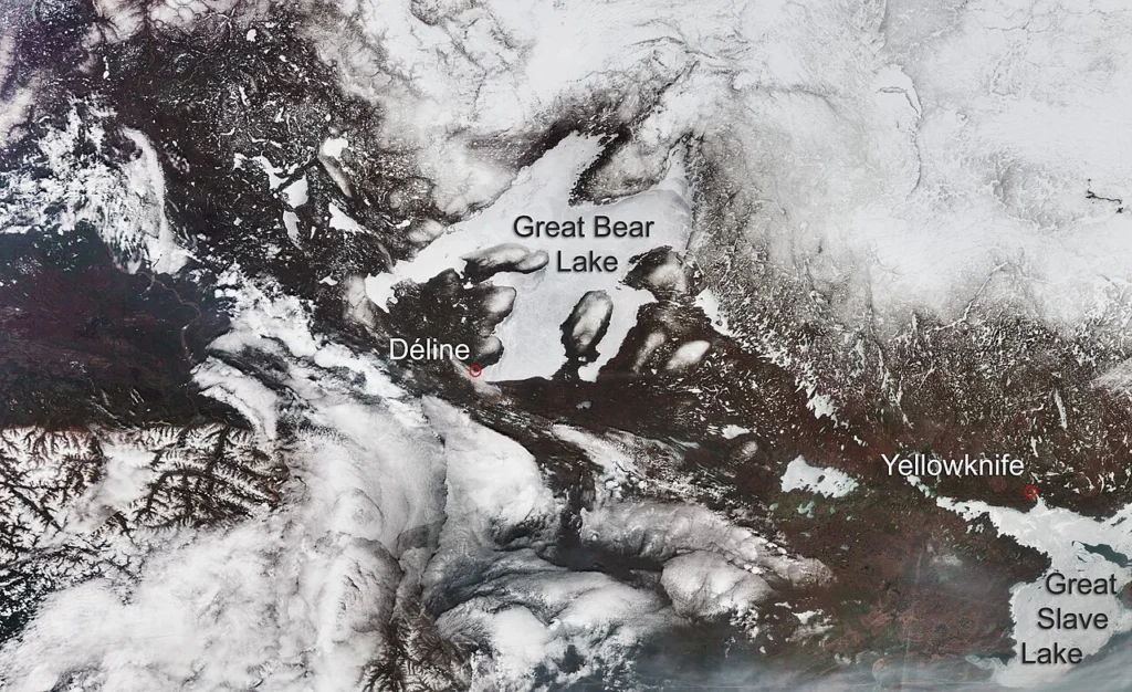
Satellite photograph: Great Bear Lake and Great Slave Lake, contains modified Copernicus Sentinel data (2019), processed by ESA, CC BY-SA 3.0 IGO. Acquired May 21, 2019; published August 5, 2019. Resized and converted to WebP, no crop or retouch. Historical ice cover, not current conditions.