Once called the “Hospitable Sea” by ancient mariners, the Black Sea remains a crossroads of empires. For example, its names—Karadeniz in Turkish and Черное море in Russian—reflect this layered past. Today, it continues to support vibrant trade and diverse cultures.
In this article, you will pinpoint its exact latitude and longitude and chart the six nations along its shores. Moreover, you’ll explore its striking depths and brackish layers. Additionally, you’ll survey varied coastal climates and discover how this oxygen-stratified sea shapes geopolitics, ecological balance, and maritime trade.
Geographic Location & Coordinates
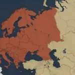
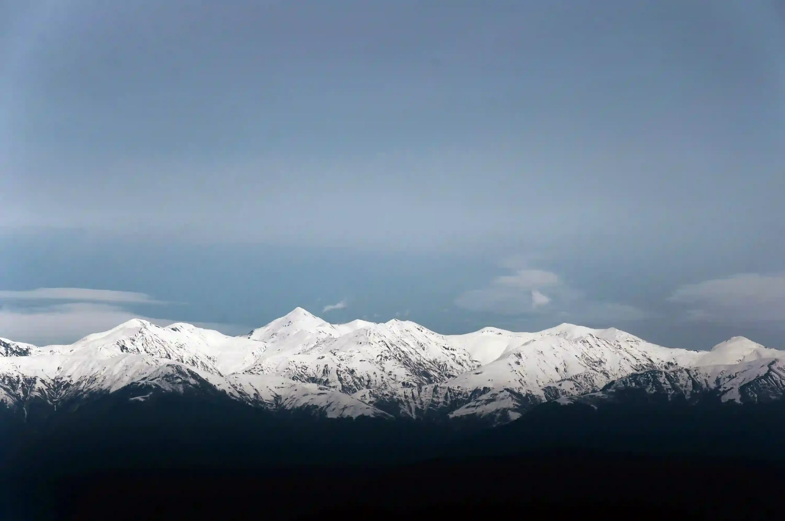
The Black Sea straddles Southeastern Europe and Western Asia at the edge of the Eurasian landmass. Its northern shores sweep along the southern fringes of the Carpathian and Crimean ranges, while its eastern basin meets the Caucasus Mountains. To the south, its waters lap the Pontic Mountains of Türkiye.
Consequently, this unique convergence places the sea within the Alpine–Himalayan orogenic belt, marking a junction of major tectonic plates. Geospatially, it stretches from about 40°56′ N—just south of the Anatolian Plateau—to 46°33′ N near Russia’s Taman Peninsula. Longitudinally, it spans from 27°27′ E off Bulgaria’s Balkan coast to 41°42′ E at Georgia’s upland delta.
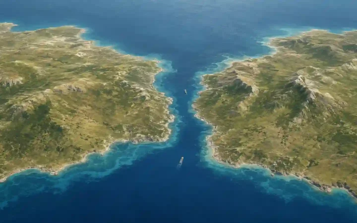
Overall, the sea measures roughly 460 miles (740 km) east–west and up to 240 miles (385 km) north–south. It connects to the Sea of Azov through the Kerch Strait and to the Mediterranean via the Bosporus, Sea of Marmara, and Dardanelles.
Bordering Countries & Coastlines
| Country | Coastline (mi/km) |
|---|---|
| Bulgaria | 220 mi (354 km) |
| Romania | 140 mi (225 km) |
| Ukraine | 1,729 mi (2,782 km) |
| Russia | 497 mi (800 km) |
| Georgia | 193 mi (310 km) |
| Türkiye | 826 mi (1,329 km) |
In total, these six nations share about 3,606 mi (5,800 km) of coastline.
Physical Characteristics
The Black Sea basin covers approximately 436,400 km² (168,700 sq mi). Meanwhile, its wider catchment—including the Sea of Azov—expands to about 474,000 km² (183,000 sq mi). As a result, it ranks among the world’s largest inland seas.
It reaches a maximum depth of 2,212 m (7,257 ft) in its south-central trench, with an average depth of 1,253 m (4,111 ft). Below roughly 100 m, waters become anoxic, and marine life is scarce in these oxygen-free depths.
Surface salinity hovers around 17 PSU—brackish compared to open oceans—and rises to about 22 PSU in deeper layers. This stratification stems from limited exchange with the Mediterranean coupled with significant freshwater input.
Key inflows include the Danube, Dniester, Dnieper, Don, and Kuban rivers. These waterways deliver sediments and nutrients, shaping the sea’s unique chemistry and supporting rich coastal wetlands.
Climate & Environmental Zones
The Black Sea’s coastal climate shifts from a Mediterranean-like environment in the south—hot, dry summers and mild, wet winters—to a humid continental regime along the northern and western shores, where winters can drop below freezing.
Annual precipitation varies from about 600 mm (24 in) along Bulgaria’s western coast to over 1,200 mm (47 in) on Türkiye’s Pontic shore. Meanwhile, sea surface temperatures swing from around 6 °C (43 °F) in February to 24 °C (75 °F) in August. These seasonal shifts drive phytoplankton blooms that fuel inshore fisheries.
Moreover, beyond the photic zone (~200 m), anoxic depths preserve organic layers and shipwrecks. Coastal wetlands—such as the Danube Delta and Dniester estuary—serve as migratory bird stopovers and fish nurseries, while offshore seagrass meadows support benthic communities.
However, nutrient loading from agriculture, wastewater, and runoff has triggered eutrophication, creating hypoxic zones each summer. Additionally, marine litter—from microplastics to ghost nets—further stresses this basin, prompting regional cooperation through the Black Sea Commission and local Marine Protected Areas to safeguard biodiversity.
Strategic & Historical Significance
For over 2,500 years, the Black Sea has served as a strategic crossroads. Ancient Greek colonists founded trading hubs—Olbia, Chersonesus, and Sinope—that exported grain, fish, and slaves to the Mediterranean world. By the 5th century BC, Athens depended on these grain routes to feed its population.
During the Byzantine era, Constantinople’s control of the Bosporus translated into dominance over naval lanes. Later, Ottoman expansion in the 15th century turned the region into an empire linking Europe and Asia. Then, in the 18th and 19th centuries, Russian naval ambitions took shape with Catherine the Great’s Black Sea Fleet at Sevastopol.
In the 20th century, the sea’s shores witnessed the Ottoman collapse after World War I, the Crimean campaigns, and Cold War standoffs. The 1936 Montreux Convention granted Turkey control over warship passage through the Dardanelles—a framework that still regulates naval access today.
Today, energy corridors like Blue Stream and TurkStream deliver Russian gas to Türkiye and Europe. Furthermore, NATO and Black Sea littoral states maintain joint exercises to secure sea lanes. Regional tensions—especially around Crimea—highlight the basin’s enduring geopolitical importance.
The Black Sea serves as a vital maritime crossroads. It supports a dense network of ports, ferry lines, and shipping lanes that link Europe, Asia, and beyond.
- Istanbul (Turkey): the busiest hub, handling over 40 million tons of cargo annually and acting as the gateway via the Bosporus.
- Constanța (Romania): Eastern Europe’s largest port on the Black Sea, with direct rail, road, and Danube connections to Central Europe.
- Odesa (Ukraine): a strategic grain and container terminal serving the Eurasian hinterland.
- Novorossiysk (Russia): Russia’s primary Black Sea oil export outlet, linked to pipelines across the Caucasus.
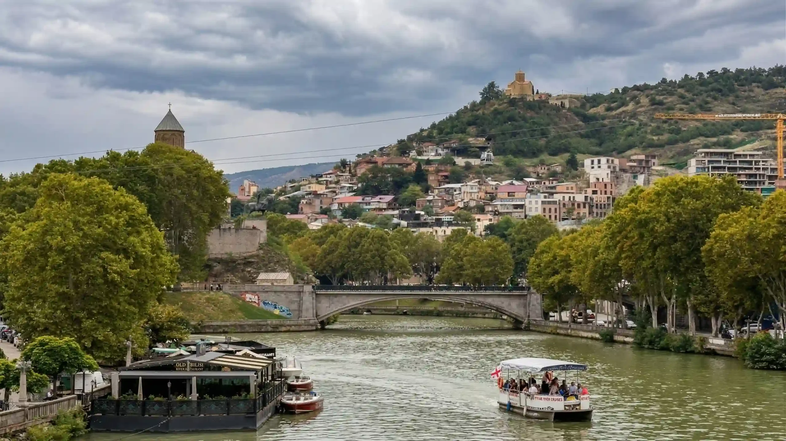
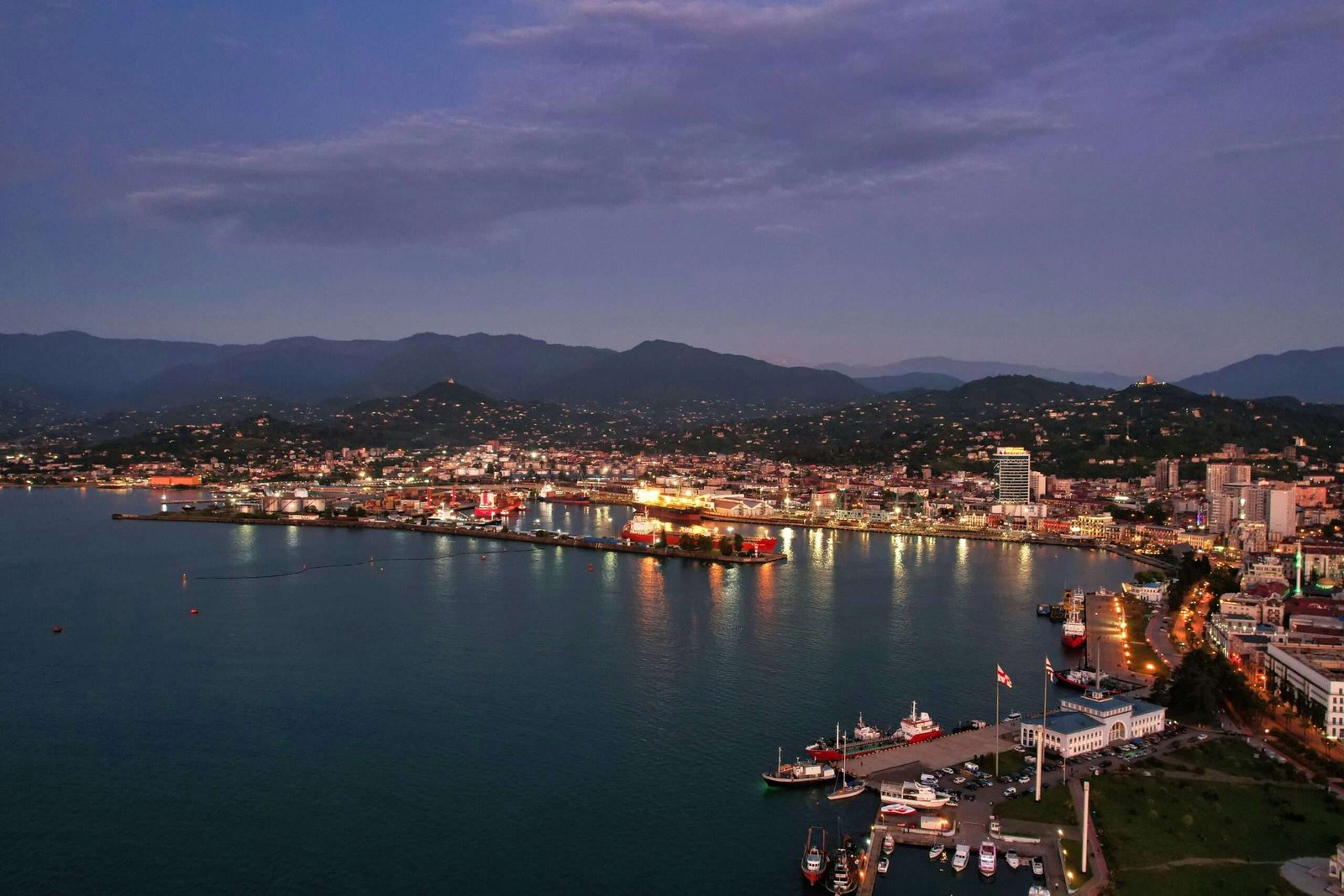
- Batumi (Georgia): key for East–West oil and LNG routes, with ferry services to Turkey and Azerbaijan.
All commercial vessels transit through two chokepoints. First, the Bosphorus and Dardanelles straits—regulated by the Montreux Convention. Second, the Kerch Strait, which links to the Sea of Azov.
In winter, northern bays and the Sea of Azov can freeze. Icebreakers keep the main channels open. Meanwhile, year-round dredging in the straits ensures safe depths for bulk carriers and tankers.
Quick Facts
- Coordinates: 40.9°–46.5° N, 27.5°–41.7° E
- Total Area: 436,400 km² (168,700 sq mi)
- Max Depth: 2,212 m (7,257 ft)
- Average Depth: 1,253 m (4,111 ft)
- East–West Span: ~740 km (460 mi)
- North–South Span: ~385 km (240 mi)
- Littoral Nations: 6 countries (Bulgaria, Romania, Ukraine, Russia, Georgia, Türkiye)
- Sea Connections: Kerch Strait → Sea of Azov; Bosporus–Marmara–Dardanelles → Mediterranean
- Basin Type: Meromictic inland sea with anoxic deep layers
- Location: Entirely in the Northern Hemisphere, bridging Europe and Asia Minor
FAQ
Which countries border the Black Sea?
Six: Bulgaria, Romania, Ukraine, Russia, Georgia, and Türkiye.
What is the maximum depth?
About 2,212 m (7,257 ft) in the south-central basin.
Which major rivers flow into it?
Danube, Dniester, Dnieper, Don, Kuban, Southern Bug, Rioni, Sakarya.
How saline is the Black Sea?
Surface ~17 PSU; deep layers ~22.3 PSU.
What type of climate surrounds it?
Temperate maritime to humid continental, driven by westerlies and the North Atlantic Oscillation.
What Did We Learn Today?
- The Black Sea spans Southeastern Europe and Western Asia, touching six nations.
- It covers ~163,000 sq mi (422,000 km²), with depths down to 2,212 m and brackish waters.
- Climates range from Mediterranean-like to humid continental; ecosystems face eutrophication risks.
- Strategic importance endures through ancient grain routes and modern energy corridors.
- Navigation funnels through the Bosporus, Dardanelles, and Kerch straits.