Countries
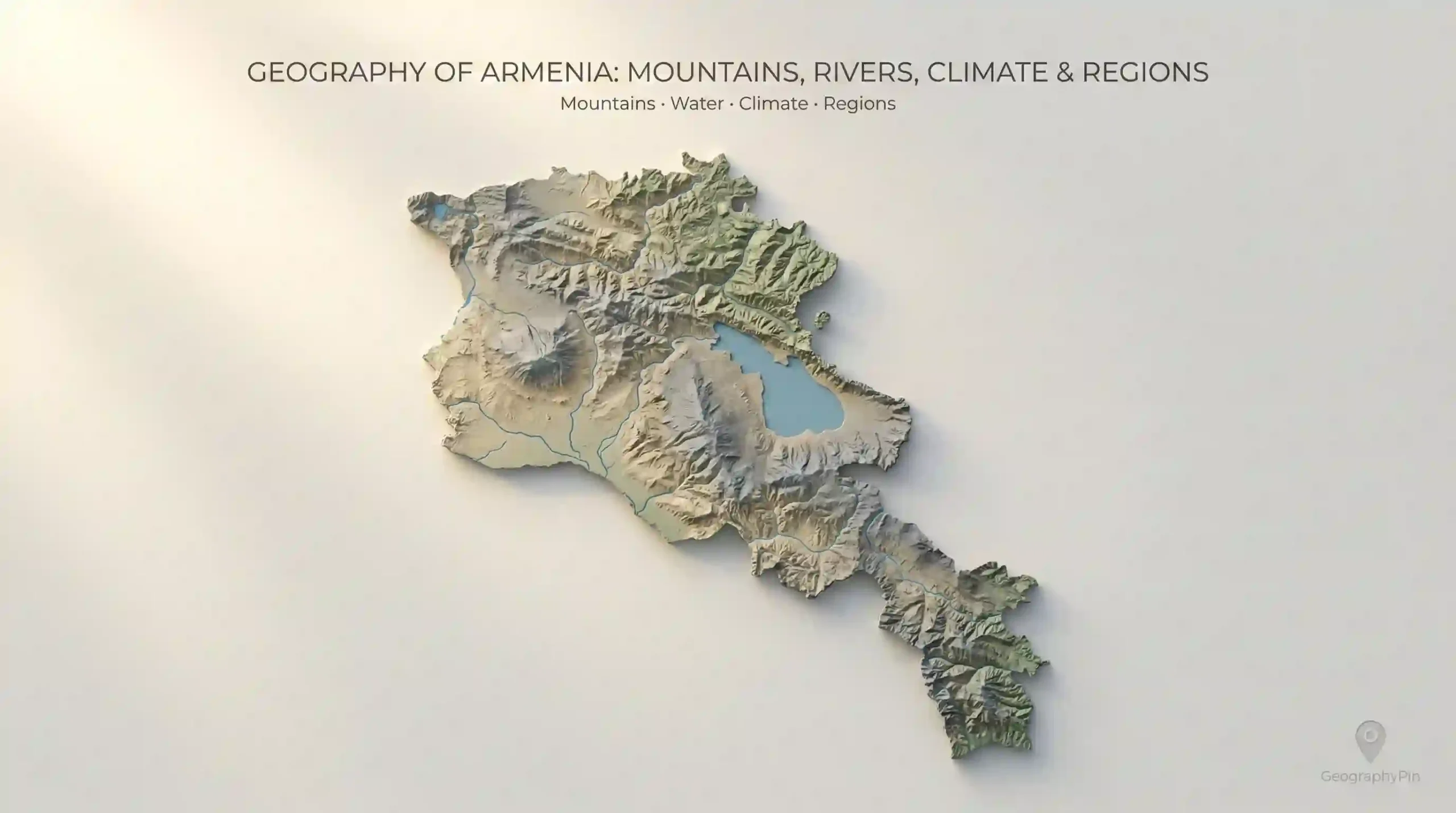
Geography of Armenia: Mountains, Rivers, Climate & Regions
Armenia (the modern Republic of Armenia in the South Caucasus) is compact on a world map—about 11,484 square miles (29,743 square kilometers)—but it behaves like a much larger…
Browse GeographyPin
Armenia (the modern Republic of Armenia in the South Caucasus) is compact on a world map—about 11,484 square miles (29,743 square kilometers)—but it behaves like a much larger…
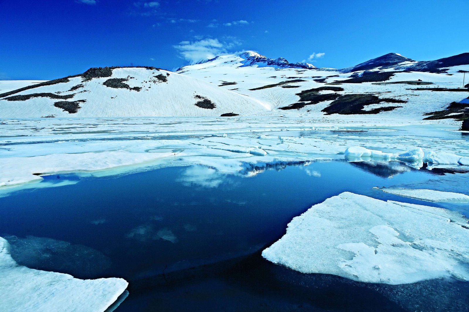
Lake Kari (Armenian: Քարի լիճ, K’ari lich, literally “Stone Lake”) sits high on the southern slopes of Mount Aragats in Armenia, a compact alpine lake framed by moraines…