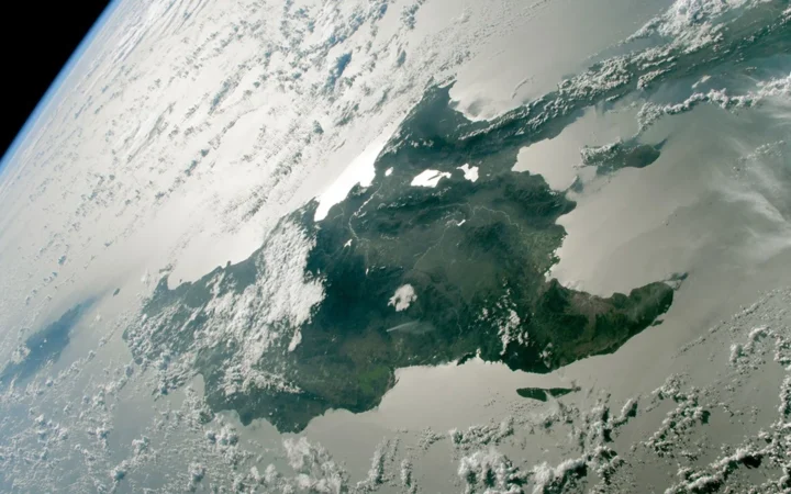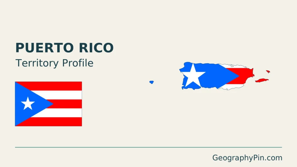
Puerto Rico’s long main island is only part of the territory shown on a Caribbean map. Within that island, a mountain spine, limestone hills and coastal lowlands create sharp contrasts over short distances. Separating the island group from the main island, and physical geography from political status, makes both the map and the statistics easier to read.
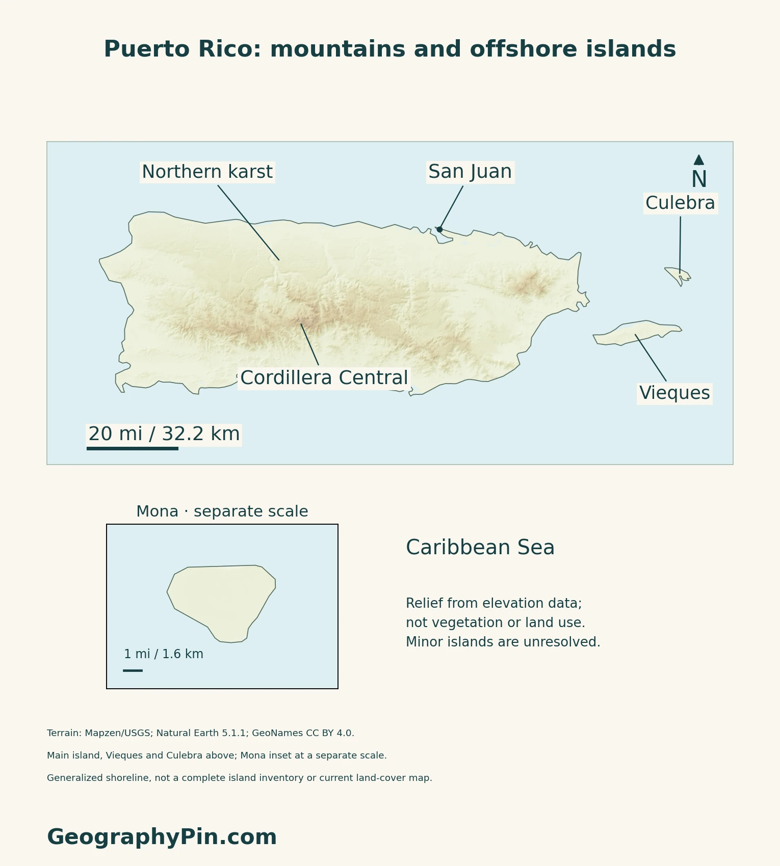
Puerto Rico is a United States territory in the northeastern Caribbean, not a sovereign country or a U.S. state. The main island has a mountainous interior, a prominent northern limestone karst belt and coastal plains. The wider territory also includes offshore islands such as Vieques and Culebra; San Juan is the capital.
How to use this article: Locate the island group, read the terrain, or follow rainfall contrast.
1. Locate the Main Island and the Wider Territory
Puerto Rico is more than the main island
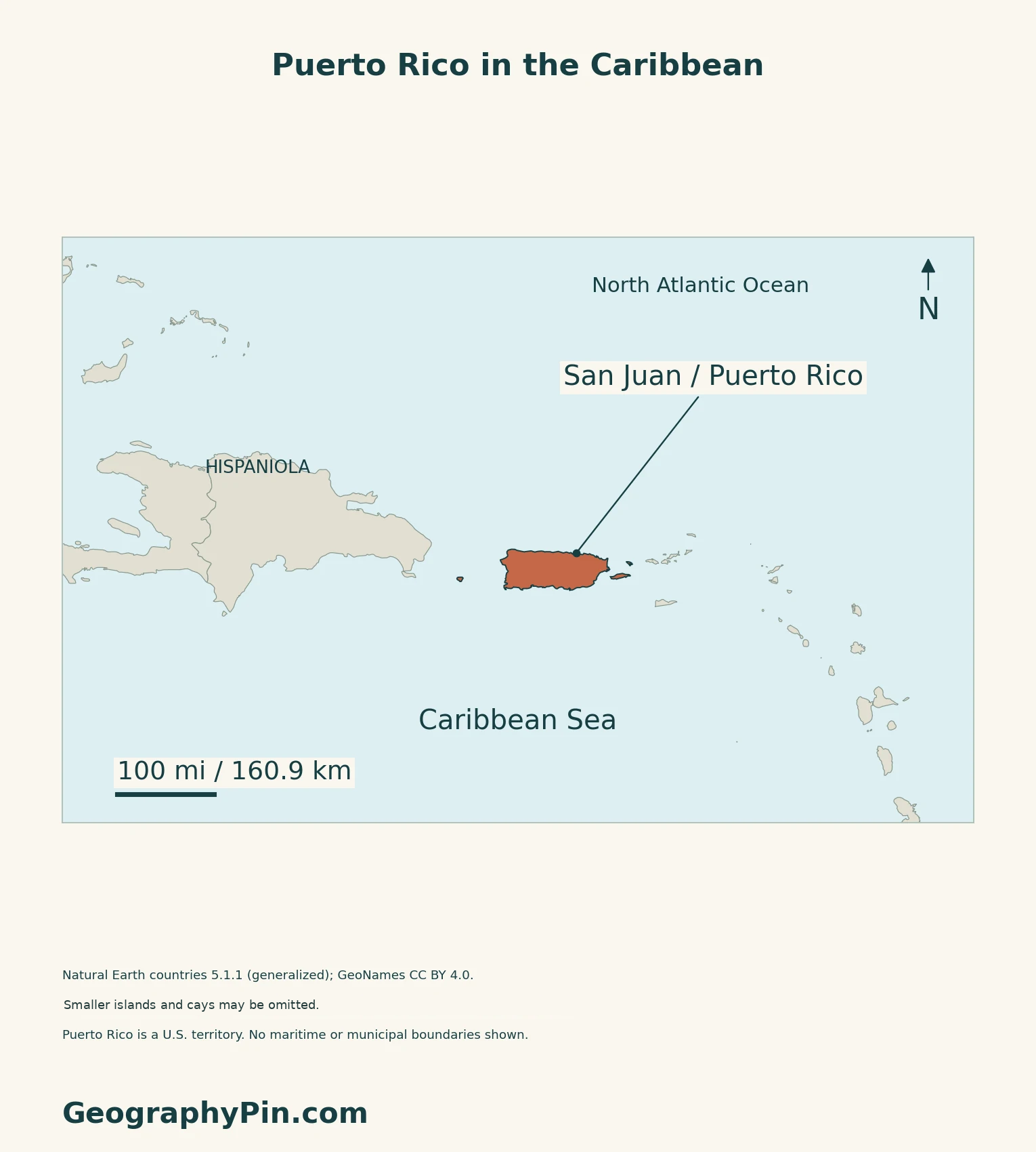
The regional locator places Puerto Rico east of Hispaniola and west of the Virgin Islands. The Atlantic lies along its northern side and the Caribbean Sea along the south. Vieques and Culebra lie to the east of the main island; Mona is farther west. These island names should not be treated as separate sovereign countries.
San Juan lies on the northern coast, while Ponce provides a southern reference and Mayagüez a western one.
The Caribbean countries and territories guide explains the wider regional status pattern. Here, the task is narrower: locate Puerto Rico’s landforms and populated places without adding the territory to an independent-country count.
Mountains, karst and coastal lowlands
The Cordillera Central runs across much of the main island’s interior. The northern karst belt is a different landscape from the central mountain zone, and the coastal plain is discontinuous rather than a uniform ring. The terrain map uses relief shading to show this broad contrast; it does not draw surveyed boundaries between physiographic regions.
2. Understand the Northern Limestone Landscape
Why limestone produces a different terrain
The U.S. Geological Survey’s account of Puerto Rican karst describes landforms produced by the dissolution of limestone under tropical conditions. Karst occurs where limestone is exposed in several parts of Puerto Rico, but it is particularly developed in the north and northwest. “Northern karst” therefore identifies its most prominent belt, not the only limestone landscape in the territory.
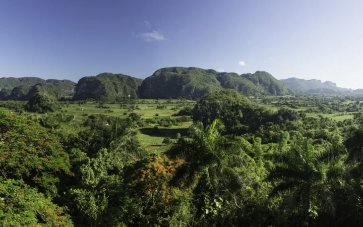
NASA’s imagery explanation identifies mogotes, steep-sided isolated hills, as a characteristic feature of the karst belt. Terrain colour alone, however, does not identify the underlying rock.
3. Read the Rainfall Contrast Across the Mountains
A wetter north and a drier southern side
The USGS climate overview explains how the Cordillera Central and Sierra de Cayey influence rain-bearing air. Uplift on the windward side encourages rainfall, while areas south of the main divide lie in a rain shadow. This creates a broad humid-north and drier-south contrast, with important local variation rather than a sharp climate boundary.
The 2025 climate summary uses 1991–2020 averages to show annual precipitation below 35 inches (889 millimetres) in parts of the southern coast and above 100 inches (2,540 millimetres) in El Yunque. Those values describe different places and are not interchangeable island-wide averages.
The same summary describes a December–March drier season, an early rainy period in April–May and a later rainy period in August–November, separated by a midsummer reduction. A drier season does not mean rain is absent. For the separate question of historical storm-track exposure, consult the Caribbean hurricane comparison, not the relief colours on this map.
4. Check Status and Dated Facts
| Item | Reference |
|---|---|
| Capital | San Juan |
| Population estimate | 3,184,835 residents on July 1, 2025 (U.S. Census Bureau, Vintage 2025) |
| Census reference | 3,285,874 on April 1, 2020 |
| Land area reference | 3,424.32 sq mi (about 8,869 km²), Census 2020 geography |
| Municipalities | 78 municipios, treated as county equivalents in Census statistics |
| Official government languages | Spanish and English, under Puerto Rico Law 1-1993 |
| Currency | U.S. dollar (USD) |
| Political status | Unincorporated territory of the United States, not a U.S. state or an independent sovereign country |
Residents and census dates
The 2025 figure is an estimate of residents in Puerto Rico, not a new census or a worldwide count of people of Puerto Rican origin. The Census Bureau revises earlier annual estimates when releasing a new vintage, so comparisons should use a consistent series.
Territory, municipality and island are different units
The Congressional Research Service’s January 2026 report identifies Puerto Rico as an unincorporated U.S. territory with a degree of self-government. A municipio is a local governmental unit, not a separate country. The land-area figure excludes water and describes Puerto Rico’s statistical jurisdiction rather than only the largest island.
What Did We Learn Today?
Puerto Rico’s main island contains mountain, karst and coastal landscapes; the wider territory includes offshore islands and has a separate political-status question.
Sources & Data Notes
Sources, dates and map conventions
Population references distinguish the July 2025 resident estimate from the April 2020 census. Area is the Census Bureau’s 2020 land-area convention, not a water-inclusive total; square kilometres are converted and rounded. Territorial status follows the directly retrieved January 2026 CRS report; Puerto Rico is not added to sovereign-country counts. The island and main-landform overview uses NASA’s November 2025 interpretation of April 2024 astronaut photographs. Karst explanation uses the directly accessible USGS publication abstract for the 1976 landform study; its full report was not retrieved. Stable rainfall mechanisms use the USGS climate overview. Rainfall amounts and seasonal descriptions use the 2025 climate summary and its stated 1991–2020 reference averages, not current weather or a future-season forecast. Regional status and hurricane comparisons remain separate linked articles.
- U.S. Census Bureau QuickFacts: Puerto Rico, Vintage 2025 population and 2020 land area
- U.S. Census Bureau: Puerto Rico resident estimates, January 2026 release and revision policy
- U.S. Census Bureau: Puerto Rico geography guide, capital and municipal units
- U.S. Census Bureau: 2025 Puerto Rico Community Survey explanation and 78 municipios
- Puerto Rico Law 1-1993: official government languages
- Puerto Rico Tourism Company: official currency
- Congressional Research Service R48522, January 30, 2026: U.S. territorial framework
- NASA Earth Observatory: Puerto Rico From Above, November 2025
- USGS: The karst landforms of Puerto Rico, publication abstract
- USGS: Climate of Puerto Rico
- 2025 climate summaries: Puerto Rico and the U.S. Virgin Islands
Original maps use Natural Earth countries 5.1.1 (public domain), retaining four generalized land components: Puerto Rico’s main island, Mona, Vieques and Culebra. Smaller islands and cays are unresolved; this is not a complete jurisdiction inventory. The cover preserves those components and their relative positions. No maritime or municipal boundaries are drawn. Place references use GeoNames (CC BY 4.0); northern karst is an approximate reference, not a geological boundary. The maps use Web Mercator with local WGS84 scale bars; Mona has a separate scale.
Relief uses Mapzen elevation tiles and credited upstream data, including USGS. It is not vegetation, land-use or bathymetric mapping. All 5,423 negative samples within the generalized land mask, including coastal and inland samples, are omitted transparently; this does not establish that all are errors or that below-sea-level land is absent. One isolated sample exceeding its nonnegative 5-by-5 local median by over 300 metres is also omitted, not replaced. The cover is an original terrain-based composition using the same four land components and approximate geographic references.