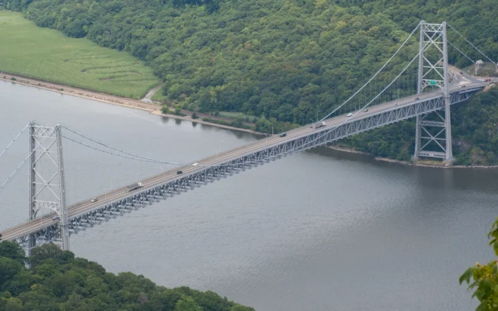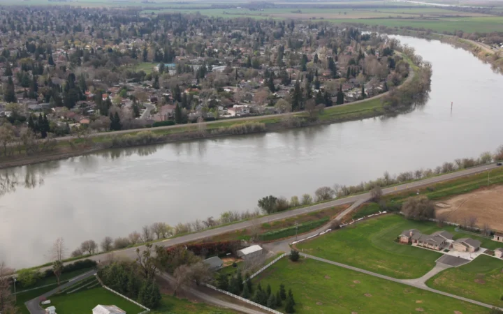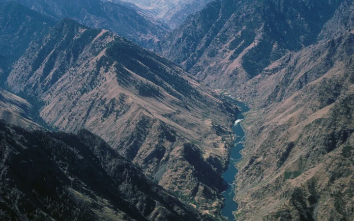
At Pittsburgh, two rivers converge and take on a new name. By the time the Ohio reaches the Mississippi at Cairo, Illinois, it carries water from a much larger area than the six states along its banks.
The Ohio River begins where the Allegheny and Monongahela meet at Pittsburgh, Pennsylvania. It follows a 981-mile (1,579-km) navigation route to the Mississippi River at Cairo, Illinois. The map separates the named channel from its watershed, which reaches into parts of 14 states.
How to use this article: Find the source, mouth and basin, follow three tributaries near the lower Ohio, or see why the Ohio can carry more water than the Mississippi above Cairo.
The Ohio River on a map
Where to find the source and mouth
Find the tip of downtown Pittsburgh first. The Allegheny enters from the north and the Monongahela from the south; below their meeting point, the named Ohio heads northwest from the city before bending toward the Midwest. Far downstream at Cairo, Illinois, the Ohio approaches the Mississippi from the east. The two points bookend the Corps of Engineers’ 981-mile navigation route.
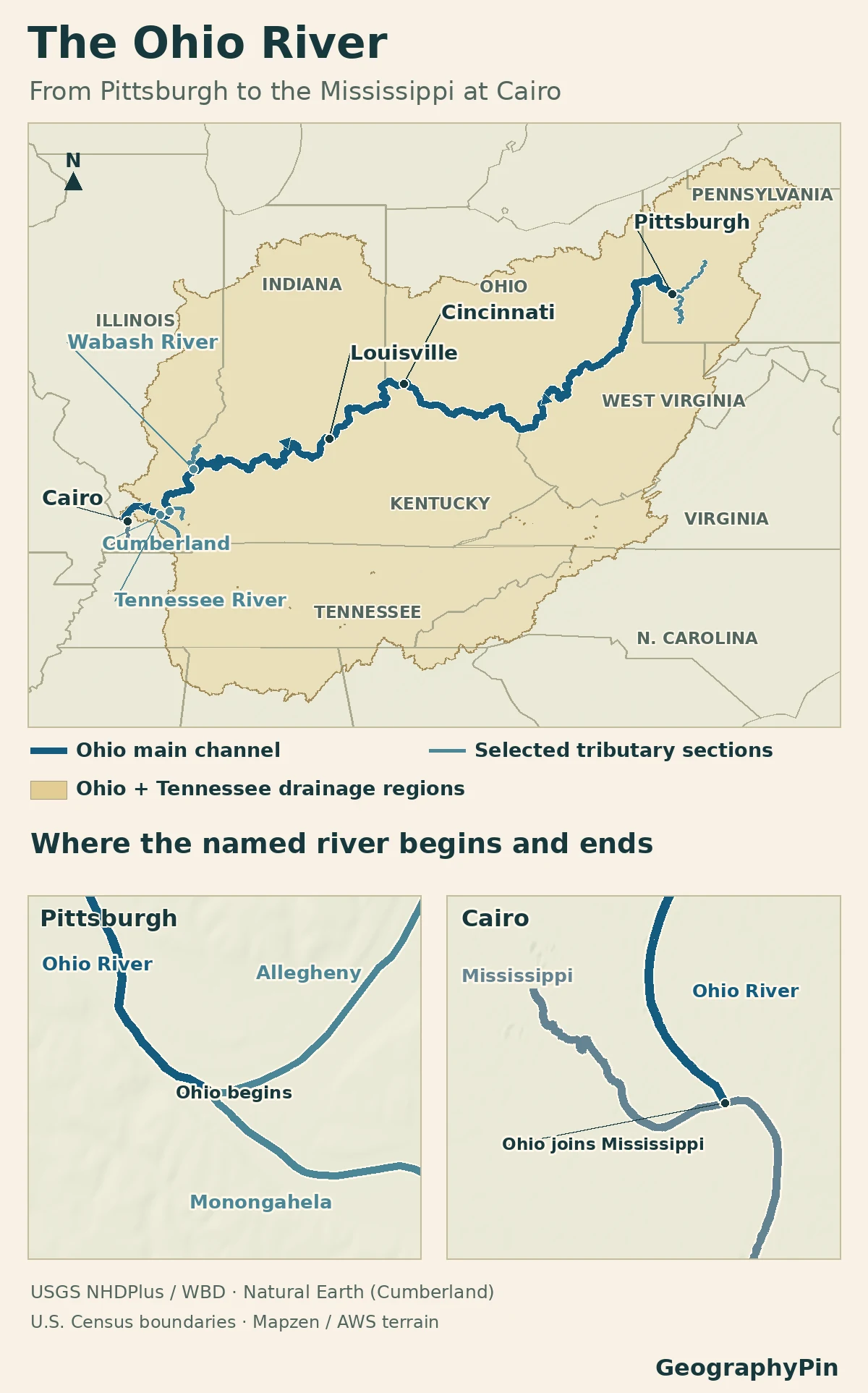
The line traces the main channel. The shaded basin is the land whose water can reach that channel through streams and tributaries. That is why a tributary valley in Tennessee or Alabama can lie inside the Ohio River basin, even though the main river never enters either state. The Ohio River Valley Sanitary Commission puts the watershed at about 204,000 square miles (528,000 km², rounded).
From Pittsburgh through Cincinnati
How the navigation miles work
Navigation miles count downstream from the Allegheny–Monongahela junction, not inland from the Mississippi. River mile 0 marks Pittsburgh and about mile 981 marks Cairo. This follows the navigable river corridor, not the straight-line distance between the cities or the length of an upstream branch.
Cincinnati, Ohio, and Covington, Kentucky, face each other across the river. Below Cincinnati, the Ohio passes Louisville, Kentucky, and continues toward southern Indiana and Illinois. From Pittsburgh to Cairo the channel passes through or alongside Pennsylvania, Ohio, West Virginia, Kentucky, Indiana and Illinois. Locks let boats move between pools held at different levels by dams; a navigation map shows features an atlas overview omits.
Do not use the blue line to locate a legal state boundary. In Ohio v. Kentucky (1980), the U.S. Supreme Court placed that boundary on the north-side low-water mark as it existed in 1792. That is a different line from the present center of the channel.
Where the lower Ohio gathers its biggest tributaries
Three tributary mouths to look for
Traveling downstream, look for the Wabash at the Indiana–Illinois line, then the Cumberland at Smithland, Kentucky, and finally the Tennessee at Paducah, Kentucky. These are three separate junctions. The Tennessee and Cumberland come in from the south and bring drainage from well beyond the states that border the main Ohio.
A junction answers where water enters. It does not tell you how much the tributary supplies. The commission’s tributary table separates stream length, drainage area and position along the Ohio, so you can compare like with like.
What happens when the Ohio reaches the Mississippi
Which river carries more water near Cairo?
On average, the Ohio contributes more water than the Mississippi carries immediately upstream of their meeting. A USGS survey of the Mississippi found that the addition of the Ohio more than doubled the receiving river’s average flow. That comparison describes average conditions, not which side supplies more water during any particular flood or drought.
For scale, the Ohio averaged about 278,000 cubic feet per second (7,900 m³/s) at the Metropolis, Illinois, gauge over 1928–2008, according to a separate USGS basin study. The gauge is upstream of Cairo. Its figure is neither a measurement at the exact junction nor a current flow reading. The river downstream of the junction keeps the name Mississippi; names are not assigned by the size of each incoming flow.
Frequently Asked Questions
Can you follow the Ohio River upstream beyond Pittsburgh?
You can follow its water network farther upstream, but the channel no longer carries the Ohio name. Follow the Allegheny or the Monongahela from the junction. Adding either one to the Ohio’s length answers a different question from measuring the named river alone.
Why is the Tennessee River part of the Ohio watershed?
It enters the Ohio at Paducah, Kentucky. Runoff anywhere in the Tennessee’s own watershed can therefore reach the Ohio before the combined water joins the Mississippi. A large watershed can contain several smaller ones.
Is Cairo the name of the Ohio River’s mouth or the town beside it?
It is the town beside the junction, at the southern tip of Illinois. A mouth marker on a regional map refers to the meeting of the two channels, not to Cairo’s downtown or a point on a road. The channel edges and exposed bars can look different with water level.
What Did We Learn Today?
The named Ohio begins at Pittsburgh and reaches the Mississippi at Cairo. Its 981-mile navigation line passes through or along six states, while its watershed takes in parts of 14. The Wabash, Cumberland and Tennessee enter at distinct junctions, and the Ohio adds more than half of the combined average flow at Cairo in the USGS comparison.
Sources & Data Notes
The main-channel endpoints and navigation distance follow the U.S. Army Corps of Engineers. Basin area, states and tributary names follow the Ohio River Valley Sanitary Commission’s 2022 assessment and its tributary inventory. The U.S. Geological Survey studies give the historical discharge comparisons and station period. Atlas lines are generalized; do not use them to navigate or locate a legal boundary. Pittsburgh’s Icy Rivers: Michel Sauret / U.S. Army Corps of Engineers Pittsburgh District, January 23, 2024; public-domain U.S. government photograph, cropped and converted to WebP. The appearance of U.S. Department of War (DoW) visual information does not imply or constitute DoW endorsement.
Map: GeographyPin. River centerlines use the USGS NHDPlus Network Linked Data Index, with the Cumberland’s lower section generalized from Natural Earth 1:10m rivers. The reporting-region fill dissolves Ohio HUC 05 and Tennessee HUC 06 from the USGS Watershed Boundary Dataset. State outlines use the 2025 Census cartographic boundaries; relief from Mapzen/AWS Terrain Tiles. The U.S. Army Corps of Engineers confirms the endpoints and measured navigation distance. ORSANCO confirms the order and river-mile junctions of selected tributaries. This map is generalized and is not a navigation chart or interstate boundary survey.