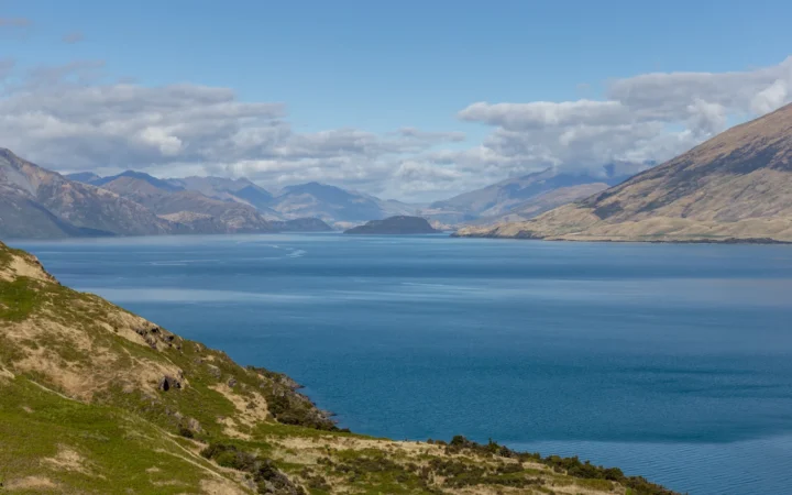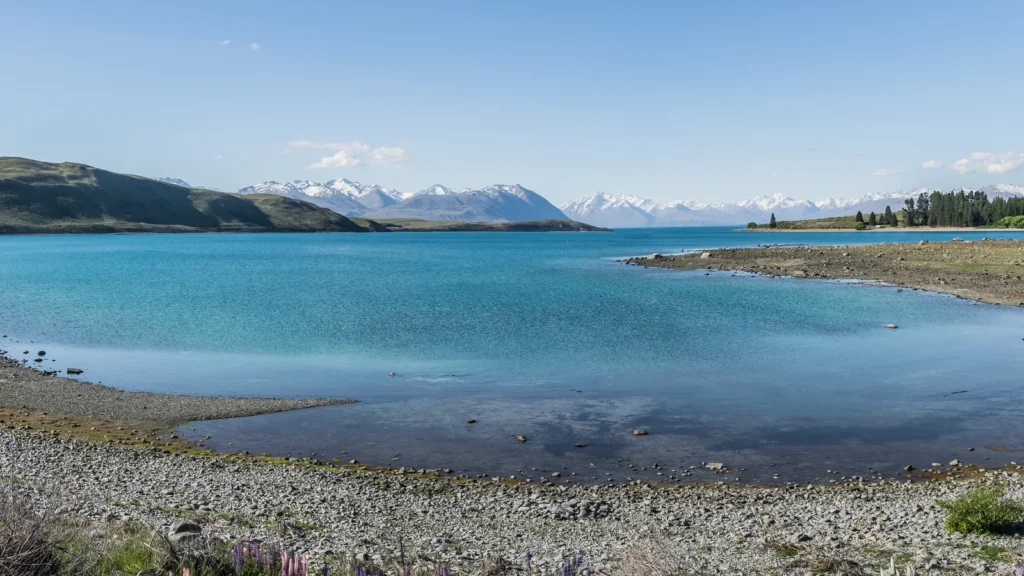
Lake Tekapo’s blue-green water is the first thing many visitors notice. The more interesting story connects that color to glaciers upstream, the basin left by earlier ice, and a canal carrying water toward another lake.
Lake Tekapo is a glacial freshwater lake in the Mackenzie Basin of New Zealand’s South Island. Fine suspended rock flour helps give it a milky turquoise color. The lake is distinct from the township at its southern end, and its water is also managed for hydroelectric generation through a connection to Lake Pūkaki.
How to use this article: Start with the location map, understand the turquoise color, follow the managed water route, or find walking information.
1. Where Lake Tekapo Is
An inland lake east of the Southern Alps
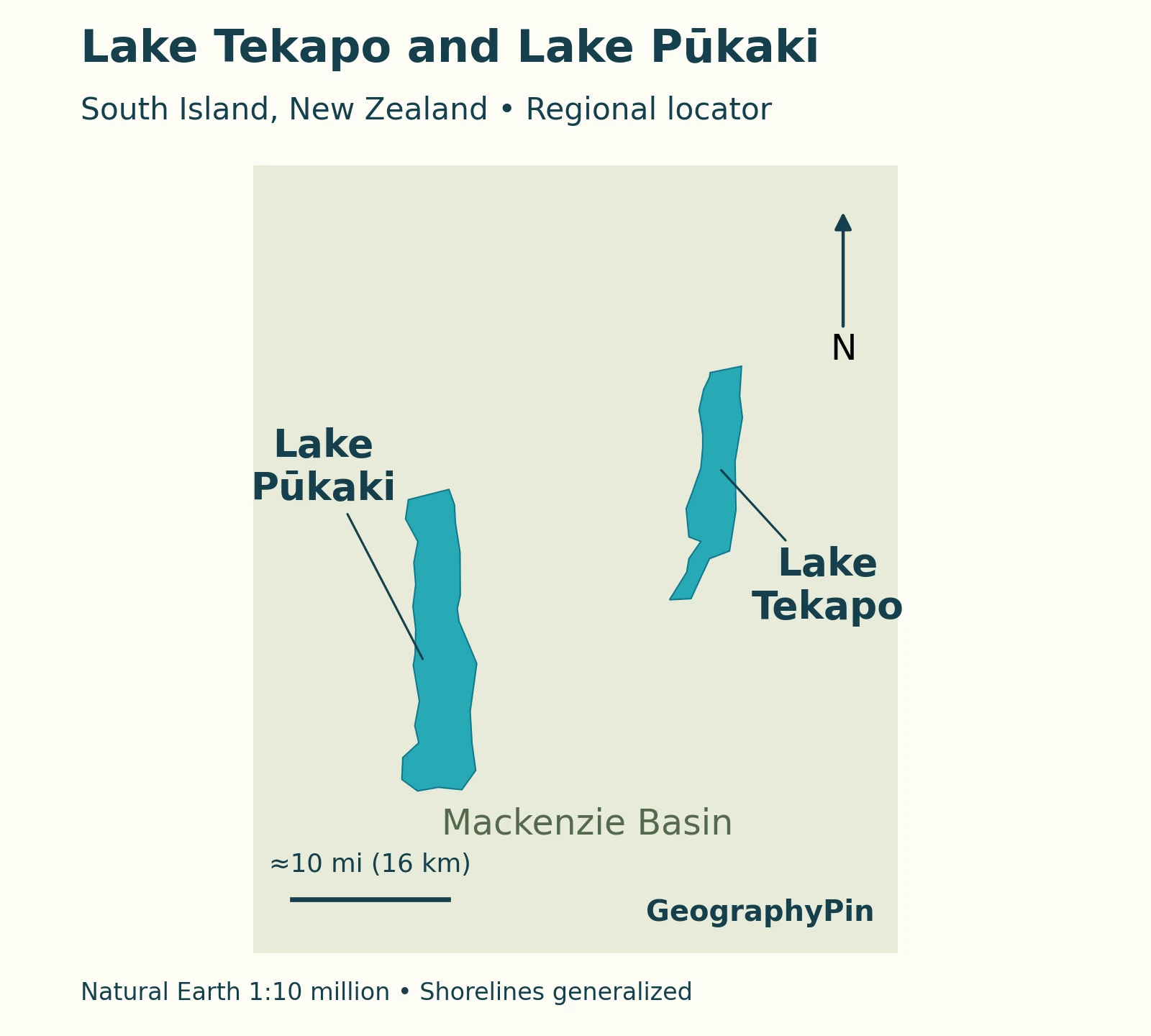
Lake Tekapo lies in the Mackenzie Basin of Canterbury, in New Zealand’s South Island. It is an inland freshwater lake, not a coastal inlet. Lake Pūkaki lies to its west, and both belong to a landscape shaped by glaciers and subsequently adapted for hydroelectric generation.
Te Ara’s Mackenzie Country overview places the basin between South Canterbury’s foothill ranges and the Southern Alps and Ben Ōhau Range. The Two Thumb Range rises east of Tekapo and the Godley River. Those surrounding landforms help explain the contrast between mountain-fed water and the more open basin around the southern lakeshore.
The lake and the township are not the same place
“Lake Tekapo” also appears in addresses and travel descriptions for the settlement at the lake’s southern outlet. State Highway 8 passes through this township, not around the entire lake. A hotel described as being in Lake Tekapo is therefore not necessarily beside the northern mountain valleys shown in photographs.
Takapō is another name readers will encounter. Mackenzie District Council uses Takapō in its township planning material, while the power operator uses Lake Takapō/Tekapo. These usages refer to the same locality rather than a second neighboring lake. Keep the lake, township, river, and canal distinct when comparing maps.
2. Size, Depth and a Changing Water Surface
NIWA’s LakeSPI report card for Lake Tekapo identifies it as a glacial lake and supplies the following reference dimensions. The report card includes a February 2024 aquatic-plant survey, but it does not establish that the lake’s area and depth were newly measured during that survey.
| Measure | Published reference | Meaning |
|---|---|---|
| Surface area | About 37.3 square miles (96.59 km²) | Database reference, not today’s surveyed shoreline |
| Maximum depth | About 394 feet (120 m) | Deepest reference value, not average depth |
| Lake origin | Glacial | Its basin predates the power scheme |
Water-surface elevation is a different measurement from depth. Tekapo’s level is managed, so a single figure copied without its reference conditions can suggest a precision that the article cannot support. Genesis provides lake-level and flow information for operational conditions; a geographic table should not be read as a live gauge.
The same caution applies to the shoreline in a map. Generalized water polygons help locate the lake, but they do not establish where the water meets a particular beach on the day of a visit.
3. How Glaciers Shaped the Basin
A natural lake, subsequently managed
Tekapo occupies a valley left by retreating ice and retained behind glacial debris. The Department of Conservation’s geological overview associates its enclosing moraines with a glacial advance approximately 12,000–14,000 years ago. A moraine is accumulated rock and sediment moved or deposited by a glacier.
The lake is consequently not a basin excavated for a power station. Modern engineering changes how its water is stored and routed, but the longer landscape history is glacial. This distinction matters whenever a natural lake also functions as a hydroelectric storage lake.
Te Ara’s account of retreating ice places Tekapo among the South Island’s long valley lakes formed by large ice-age glaciers. Their shape records earlier ice movement even where today’s glacier fronts are far upstream. For the broader classification, see how lakes form and how they are classified.
4. Why Lake Tekapo Looks Turquoise
Fine sediment changes the light
The characteristic milky blue-green color comes from very fine rock particles suspended in the water. Moving glaciers grind rock; meltwater carries the resulting sediment, often called rock flour or glacial flour, toward the lake. It is suspended material, not an artificial dye.
NASA’s explanation of turquoise glacial lakes describes how water and fine sediment absorb and scatter sunlight. Their combined optical effects favor the blue-green light reaching an observer. Because the particles are small, they can remain suspended rather than immediately settling to the bottom.

The color is therefore not explained by sky reflection alone. Nor should “milky” be confused with transparent: water can be strikingly bright while containing suspended particles. A photograph’s color does not measure drinking-water quality, swimming suitability, or water depth.
In a May 2019 satellite observation, NASA identified sediment-rich water entering northern Tekapo from the Godley River. That is a dated illustration of the process, not a claim about today’s sediment concentration. Te Ara’s glacial-lakes comparison likewise connects the color of Tekapo and Pūkaki with their glacier-fed rivers.
5. Tekapo’s Managed Connection to Lake Pūkaki
Follow the power route separately from the river
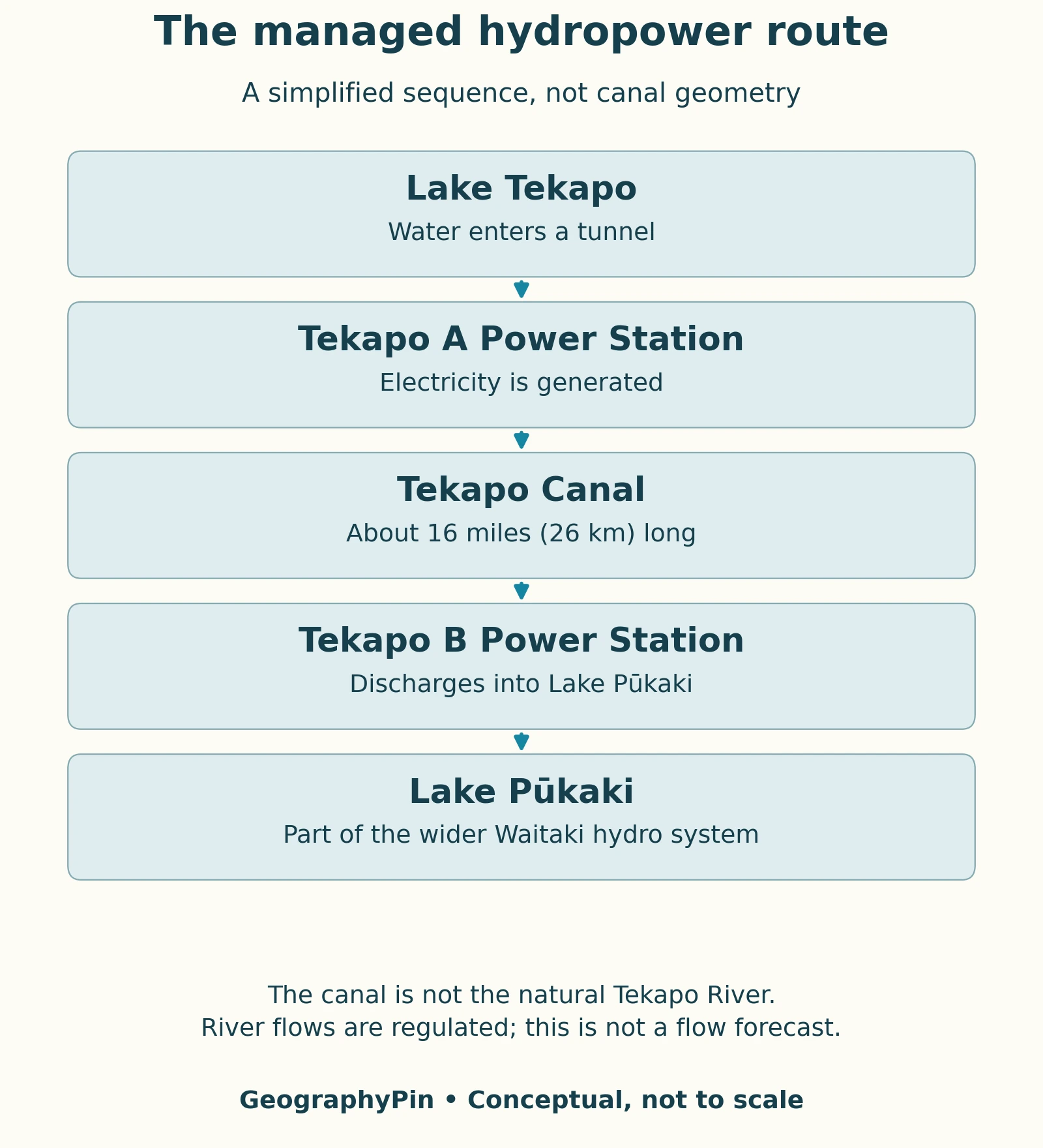
The simplified generating route is Lake Tekapo → intake tunnel → Tekapo A → Tekapo Canal → Tekapo B → Lake Pūkaki. Genesis describes the tunnel as about 0.9 miles (1.4 km) long and the canal as about 16 miles (26 km). Water passes through two stations before entering Pūkaki.
The natural Tekapo, or Takapō, River is a different route. Genesis’ April 2025 scheme assessment describes controlled discharges from the lake through Gate 16 and the downstream river system. The river ultimately joins the Pūkaki River before reaching Lake Benmore’s Haldon Arm.
These are connections in a managed system, not a promise that the same quantity of water takes each branch continuously. The schematic shows the canal route; the natural river channel is not drawn. Its arrows show where water can be conveyed, not real-time operating instructions or a navigable itinerary.
A map of natural drainage and a power-scheme diagram are both useful, but neither can replace the other. The first explains the landscape’s channels; the second explains how engineered infrastructure redirects water through turbines. Reading both avoids the mistaken conclusion that Tekapo Canal is simply another name for Tekapo River.
6. Seeing the Lake Without Misreading the Landscape
Use official track information for the actual route
The lakeshore settlement provides one perspective on Tekapo; elevated tracks reveal more of its basin. The Department of Conservation’s Tekapo Mt John Walkway page describes walking access on the lake’s western side. Consult its current route information and alerts before choosing a walk rather than treating a locator map as a trail guide.
Conditions beside a highland lake can change quickly. Follow current official weather, track, and water notices, and do not infer that a calm-looking photograph means the conditions will be suitable for your activity. Hydroelectric river flows can also change independently of the view from a beach.
For a useful first reading of the landscape, identify three things: the glacier-fed northern end, the township by the southern outlet, and the managed connection toward Pūkaki. The turquoise water then becomes more than scenery. It is evidence of sediment moving from mountains into a lake that also participates in an engineered water system.
What Did We Learn Today?
Tekapo’s location, color, and water connections tell different parts of one story. Ice shaped its basin, glacier-fed rivers carry fine sediment into its water, and modern infrastructure routes water toward Pūkaki for electricity generation. Keeping the lake, township, canal, and natural river separate makes the landscape much easier to understand.
Sources & Data Notes
Lake dimensions follow the NIWA report card; its 2024 plant-survey date is not assigned to those reference dimensions. Geological ages are approximate. The 2025 scheme assessment is used for physical infrastructure, not as evidence of current legal conditions or release schedules. The locator is generalized, and the process diagrams are schematic. Current levels, access, and operating notices require separate checks.
- Te Ara — Mackenzie Country
- NIWA LakeSPI — Lake Tekapo
- Department of Conservation — Lake Tekapo area
- Te Ara — Retreating ice and the glacier legacy
- NASA — How Glaciers Turn Lakes Turquoise
- Te Ara — Glacial lakes
- Genesis — Tekapo flow and level
- Genesis — Tekapo Power Scheme assessment, April 2025
- Mackenzie District Council — Spatial Plans
- Department of Conservation — Tekapo Mt John Walkway
Featured photograph: Krzysztof Golik, CC BY-SA 4.0. The photographic panorama was cropped, resized, and converted to WebP; the adapted photograph retains the same license.