Iraq is a West Asian country often associated with the land between the Tigris and Euphrates. But a map of those rivers alone leaves out the western desert and the northern highlands. Understanding how these settings fit together explains why a largely dry country also has farmland and marshes.
The Tigris and Euphrates cross Iraq’s low Mesopotamian plain and supply water to farmland and southern wetlands before joining the Shatt al-Arab. They are central to the country’s geography, but not its whole landscape: desert plateaus lie to the west, while uplands and mountains rise in the north and northeast.
How to use this article: Locate the country, compare the physical settings, or follow river system.
1. Locate Iraq Between the Highlands and the Gulf
Six Land Neighbors and a Gulf Outlet
Iraq borders Türkiye to the north, Iran to the east, Syria and Jordan to the west, and Saudi Arabia and Kuwait to the south. Its southeastern end reaches the Persian Gulf. Baghdad is the national capital; the Middle East regional guide places Iraq among its neighbors.

A Country Map Is Not a Map of Ancient Mesopotamia
Mesopotamia is a historical geographic name associated with the Tigris and Euphrates, not a second official name for the modern state. Similarly, the highlands labeled on our map describe terrain, not the boundary of the autonomous Kurdistan Region.
2. Compare the Plain, Uplands, Mountains and Desert
Four Geographic Settings
| Setting | How it differs |
|---|---|
| Mesopotamian plain | Low alluvial ground extending through central and southern Iraq. |
| Al-Jazira uplands | Higher ground between the upper Iraqi stretches of the two rivers. |
| Northern and northeastern mountains | Rugged highlands and intervening valleys. |
| Western desert plateau | Dry country west of the Euphrates, with rocky terrain and wadis. |

Neither Desert Nor Highlands Are Uniform
Iraq’s 2024–2030 environmental strategy describes a western desert containing limestone hills, dunes and normally dry valleys that can carry water after rain.
3. Connect the Rivers With Farming and Marshes
Two Rivers and a Shared Lower Waterway
The Tigris and Euphrates are international rivers with headwaters outside Iraq. Their downstream confluence forms the Shatt al-Arab, which continues to the Gulf. For the individual routes, tributaries and confluence detail, use the Tigris and Euphrates river guide.
Water Supply Is Only Part of Irrigation
FAO’s agricultural account distinguishes irrigated farming in the central and southern river corridor from northern areas where rainfall plays a greater role. It also identifies poor drainage and soil salinity as problems in irrigated lowlands.
Wetlands Within an Arid Region
The Ahwar of Southern Iraq connect freshwater marshes with the Tigris–Euphrates system. UNESCO’s listed property contains four wetland components and three archaeological sites, recognizing both biodiversity and the relationship between settlement and the wetland landscape.
That heritage property is not the entire river basin. Nor is a generalized river map a measurement of how much marshland is underwater today; water extent changes with flows and conditions.
4. Read Climate and Water Pressures Together
Winter Rain and Dry Summers
FAO describes hot, dry summers and a cooler wet season, with greater rainfall in the northern mountains than across the desert and southern lowlands.
Heat and Water Also Affect Infrastructure
The International Energy Agency’s January 2025 assessment connects rising heat with greater cooling demand and strain on electricity supply. It also treats water shortages as a combination of climate, demand, infrastructure and water-management pressures, rather than the result of a single cause.
The assessment considers both drought and flood risks. A dry climate does not eliminate damaging runoff during intense rainfall.
5. Check Dated Country Facts
| Item | Reference |
|---|---|
| Capital | Baghdad |
| Population reference | 46,118,793 people; final results of the 2024 census, announced in November 2025 |
| Surface area | About 167,975 sq mi (435,052 km²); UNData’s 2023 surface-area reference |
| Currency | Iraqi dinar (IQD) |
| Official languages | Arabic and Kurdish under Article 4 of the Constitution |
| Constitutional framework | Federal parliamentary republic |
| Administrative reference | 19 governorates including Halabja; reflected in EUAA’s October 2025 report |
A national census, not a current projection
The Ministry of Planning’s November 26, 2025 final announcement includes both Iraqis and foreigners in the national total. It reports 45,778,662 Iraqis and 340,131 foreigners. These are 2024 census results, not a 2026 estimate or a count of Iraqi citizens worldwide.
Federal regions and geographic names
Article 117 recognizes the Kurdistan Region as a federal region of Iraq. That legal entity should not be equated with every geographic or cultural use of “Kurdistan”; the map’s highland reference does not draw its administrative boundary. Article 4 also provides local official-language recognition for Turkmen and Syriac where the constitutional conditions apply.
Halabja changes older administrative lists
EUAA’s October 2025 report records Halabja becoming Iraq’s nineteenth governorate in May 2025, separated from Sulaymaniyah. Older eighteen-governorate tables therefore need their dates retained.
For a broader comparison, see the Asian countries and capitals reference.
What Did We Learn Today?
Iraq’s rivers help explain its farmland and southern marshes, but the country also includes uplands, mountains and desert. Physical landscapes, drainage basins and administrative regions are different ways of reading the map.
Sources & Data Notes
Sources, dates and map conventions
Population follows the Ministry of Planning’s final November 2025 announcement for the 2024 census, including Iraqis and foreigners; the earlier February release described basic results. Area is UNData’s dated surface convention, not a land-only figure. Constitutional provisions are read from the original text reproduced by WIPO. Halabja’s administrative status follows the EUAA October 2025 report; the exact legal commencement date is not established here. Terrain descriptions use Iraq’s 2024–2030 national environmental strategy and the Iraqi embassy’s geographic overview. Historical FAO accounts support broad climate, drainage and irrigation concepts only: their old population, governorate counts, cultivated areas and flow totals are not current facts here. The IEA assessment is dated January 2025. UNESCO’s property description does not establish present marsh inundation. No source-page imagery is reused. Highland labels are geographic references, not a map of federal-region limits, disputed internal territories or current control.
- Iraq Ministry of Planning: final 2024 census results, November 26, 2025
- UNData: capital, currency and 2023 surface area
- Iraqi Constitution: Articles 1, 4, 11, 117 and 124
- EUAA: Iraq Country Focus, October 2025, Halabja administrative change
- Chinese Consulate General in Erbil: August 2025 visit corroborating Halabja’s nineteenth-governorate designation
- Iraqi embassy: geographic setting
- Iraq Ministry of Environment and UNDP: national environmental strategy, 2024–2030
- FAO: historical Iraq irrigation and water-resource profile
- FAO: agricultural strategy and natural-resource setting
- UNESCO: Ahwar of Southern Iraq property
- IEA: National Climate Resilience Assessment for Iraq, January 2025
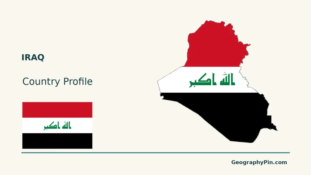
Original maps: GeographyPin uses Natural Earth countries 5.1.1 and rivers 5.0.0 (public domain), GeoNames coordinates (CC BY 4.0), and Mapzen/USGS terrain. River reaches are generalized source geometry, not complete upstream courses; source discontinuities near the confluence are not filled with invented channels. Neither present marsh extent nor water availability is mapped. Kurdistan highlands denotes geographic relief, not the autonomous region, disputed internal territories or effective control. No internal or maritime boundaries are drawn; national alignments are generalized, not a legal boundary survey. Some unreliable elevation values are omitted. Other below-sea-level values are retained; gaps in the shading should not be read as flat ground. Scales use WGS84 geodesic distances. The cover uses the national outline and a complete separate Flagpedia rendition, whose source permits commercial and noncommercial reuse; the supplied Arabic artwork is preserved without retyping.