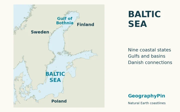
Sweden’s official island inventory counts over a quarter of a million pieces of land. Before calling that a world record, check what Sweden included and what another country leaves out.
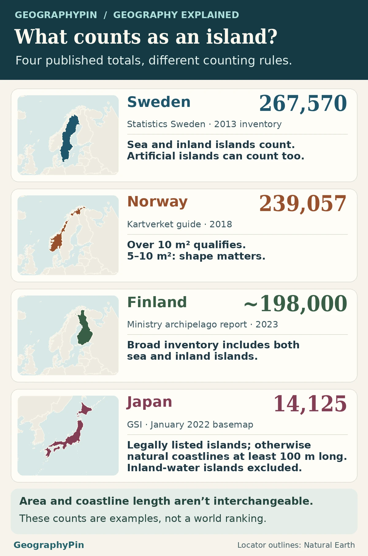
Statistics Sweden counted 267,570 islands in its 2013 inventory, the highest count among the four reports compared here. Norway, Finland and Japan also report thousands, but they do not count the same kinds of land. Some include lake islands and some do not. These figures cannot establish a worldwide winner under one consistent definition.
How to use this article: Compare area and perimeter thresholds, distinguish tidal rocks from survey categories or check which counts include freshwater islands.
Four official-source counts, four different measuring rules
The Swedish figure comes from Statistics Sweden’s 2013 inventory. The Norwegian figure appears in a 2023 national boating report that cites the national mapping authority, Kartverket. Finland’s total is from a 2023 ministry study of island areas, and Japan’s comes from the Geospatial Information Authority. The figures describe selected survey examples. Their dates and inclusion rules are not interchangeable.
| Country | Reported count | Reference date | What the figure counts |
|---|---|---|---|
| Sweden | 267,570 | 2013 inventory | Coastal and inland; artificial islands and artificial water included. |
| Norway | 239,057 | 2018 guide; repeated in 2023 | Islets above 10 m² count; those of 5–10 m² can qualify depending on shape. Skerries are listed separately. |
| Finland | About 198,000 | 2023 ministry report | Examples include coastal and inland settings. A separate official presentation has a different scope. |
| Japan | 14,125 | 2023 release; January 2022 base map | Legally listed islands, then other naturally formed coastal land with perimeter at least 100 m. Inland-water islands excluded. |
A minimum area and a minimum perimeter count different things
Try the same small feature under two rules
The 2018 Kartverket navigation guide lists 239,057 islands and 81,192 skerries separately. It says islets larger than 10 m² are counted as islands, while those between 5 and 10 m² may be islands or skerries depending on their shape. The 2023 boating report repeats the figures. It does not establish a new survey year or make the counts comparable with the other rows.
Japan’s mapping authority first counts islands named under specified laws without duplicates. For other eligible naturally formed coastal land, its minimum is a perimeter of 100 meters. For a simple illustration, a rectangle 5 meters by 3 meters has an area of 15 m² but a perimeter of only 16 meters. It exceeds the area above which Kartverket counts islets as islands and not Japan’s ordinary perimeter threshold. That test isolates size; it does not establish legal status or survey inclusion.
A tidal rock is not automatically an island for every purpose
Separate the law of the sea from a statistical inventory
Article 121 of the UN Convention on the Law of the Sea uses naturally formed land that remains above water at high tide. It separately limits the exclusive economic zone and continental shelf associated with rocks that cannot sustain human habitation or economic life of their own. Those are legal rules about maritime status, not a common recipe for a national statistical island count.
A feature can also enter a map inventory for a purpose that the treaty does not address. Statistics Sweden used water polygons at a scale of 1:10,000 and included artificial islands and land cut off by artificial water. Its smallest mapped objects were 9 m². Nine is an observation about that inventory, not an international minimum area.
Freshwater inclusion can change the total by thousands
Check whether the survey counts lake islands
Only 38% of the islands in Statistics Sweden’s inventory are identified as sea islands. Roughly three in eight were in the sea under that classification, so using its total as a count of offshore Swedish islands would include a large number from other settings. Japan explicitly excludes islands in inland waters under both of its counting branches.
Finland’s ministry report gives about 198,000 in its broad study, with readable maps and groupings that include many inland areas. The same year, Finland in Figures gives about 187,000 islands of at least 100 m². Use the figure and conditions from the same source. These two publications are not evidence of thousands of islands disappearing within the year, and their difference cannot be attributed to size alone without matching their underlying inventories.
What would make a genuine world ranking possible?
Japan’s mapping authority gives a reproducible example of why a comparison needs a common method: the earlier Japan Coast Guard figure was 6,852, published in 1987. Subtract it from the new 14,125 and the difference is 7,273 counted islands. The agency says more detailed mapping was a major reason. A change in the inventory does not establish the formation of 7,273 pieces of land.
A global count would need a common dated coastline and inland-water inventory, a clear high-water reference, the same minimum feature rule, and comparable decisions about reclaimed land, rocks and dependent territories. An unreported value is unknown, not zero. Two matching published counts would not establish a tie unless both were collected under the same rules. The numbers here describe four examples; they do not identify a worldwide winner.
Frequently Asked Questions
How many Swedish islands had a permanent population?
Statistics Sweden reports 984 in its 2013 inventory. That is a population classification, not a restriction on the overall count. Thousands more islands had buildings without necessarily having permanent residents.
Does a bridge automatically remove an island from an inventory?
No. Finland’s island-area study explicitly records a category of islands with a fixed road connection to the mainland. A survey can distinguish the natural separation of land by water from the presence of a road link.
Does having many islands make a country an island country?
No. That description is about where the country’s territory is located. Sweden has many islands, but also has an extensive continental mainland. The island count and the country classification answer different questions.
What Did We Learn Today?
Sweden reported 267,570 islands under its own 2013 rule. Other inventories use different thresholds, different maps and different rules for inland water or artificial land. Use the figures to compare published survey conventions, not to declare a global winner. If a report leaves part of its coverage unclear, the gap is not an island count of zero.
Sources & Data Notes
Statistics Sweden, the Norwegian boating report citing Kartverket, Finland’s ministry and statistics office, and Japan’s mapping authority supply separately dated counts. They are not a harmonized series. The UN Convention supplies legal context only. The Finnish ministry value is rounded because figures within that report differ slightly.
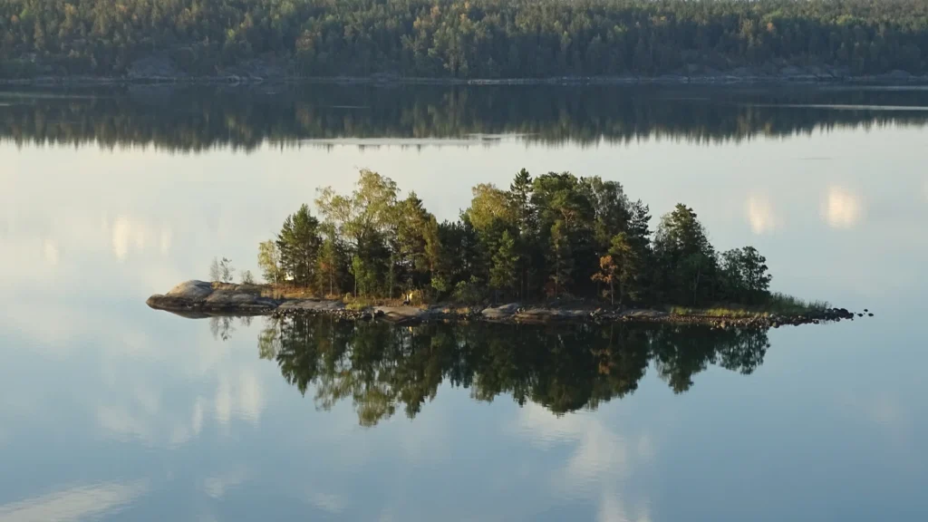
Photo: Island near Lindholmen by Ad Meskens, July 20, 2018, CC BY-SA 4.0 (cropped and resized, same terms). Map data: Natural Earth.